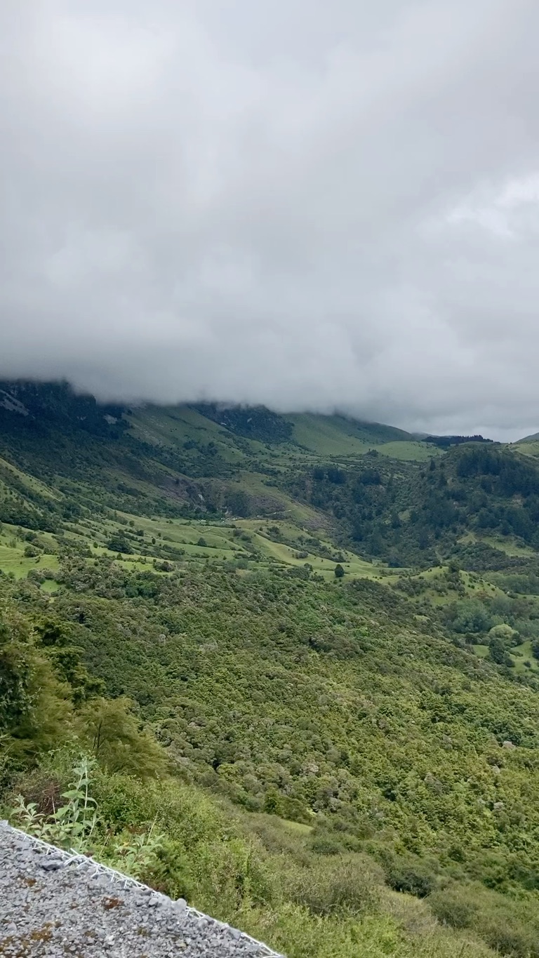
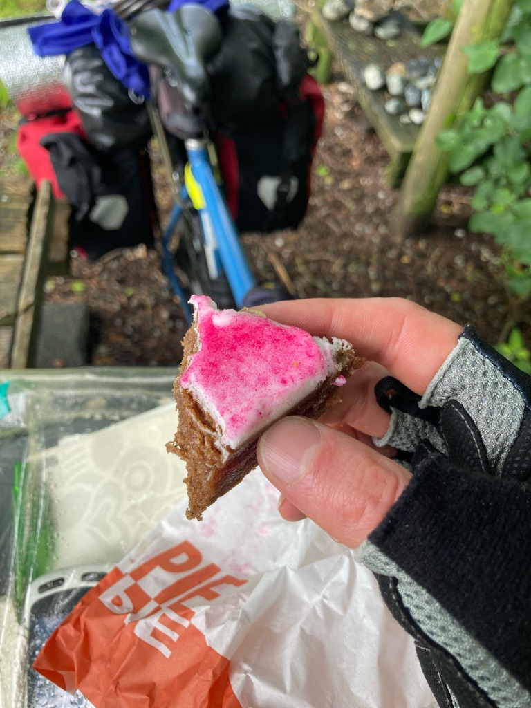
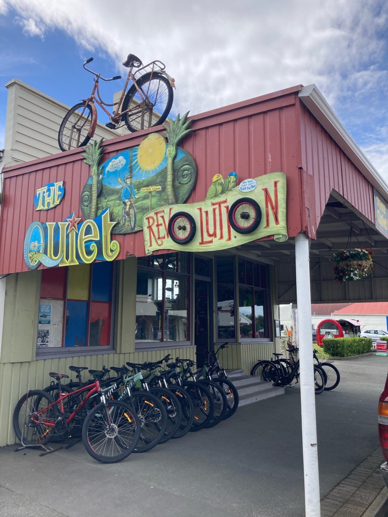
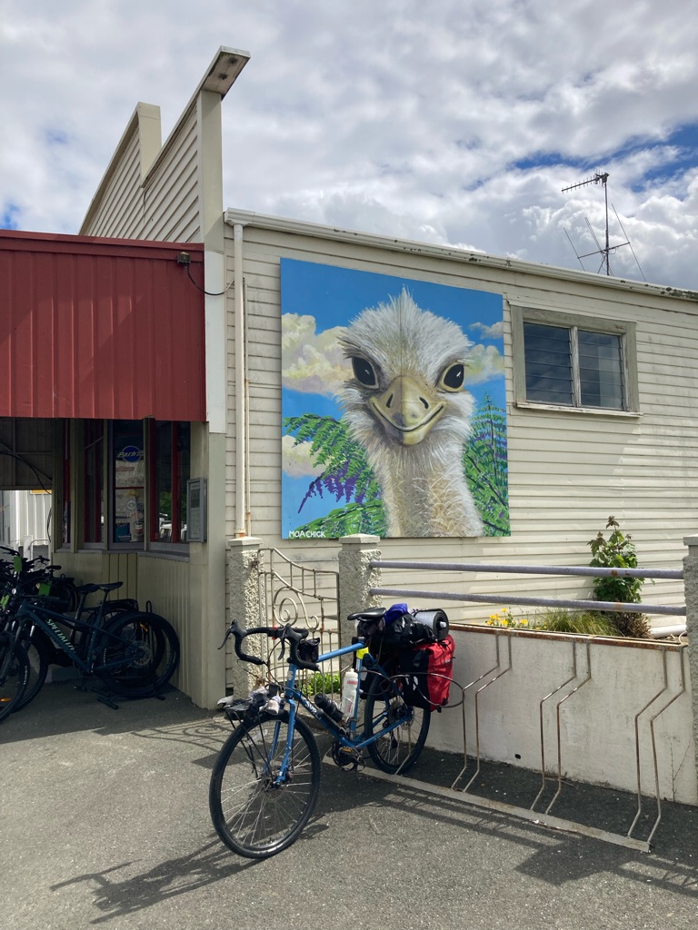
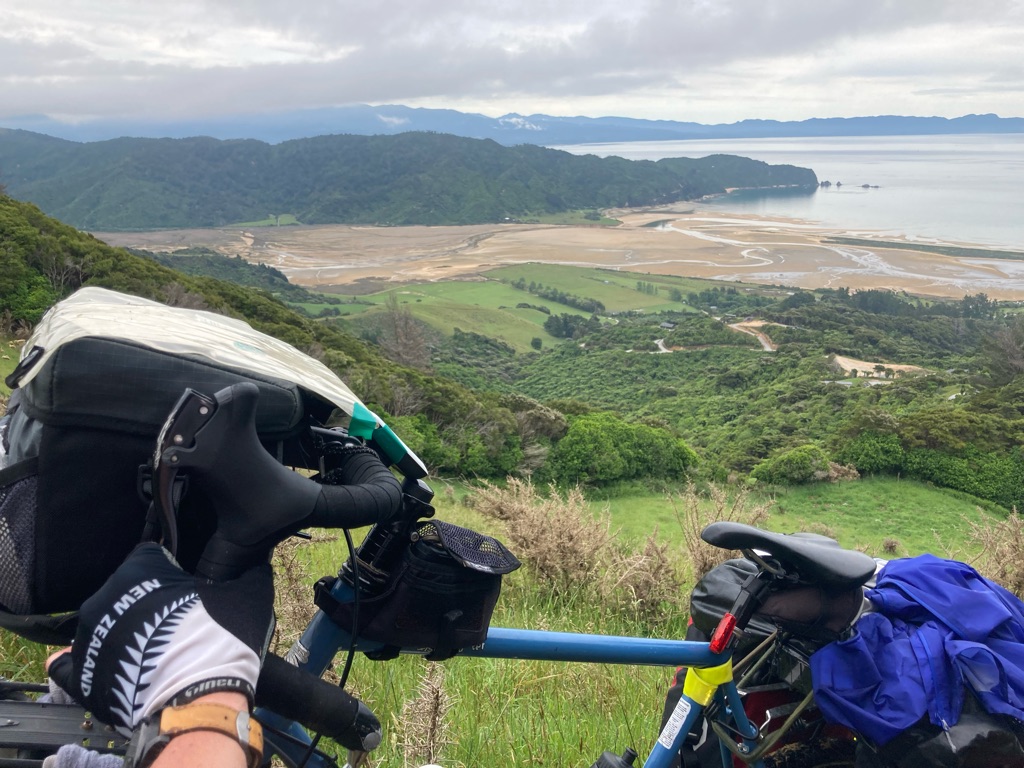
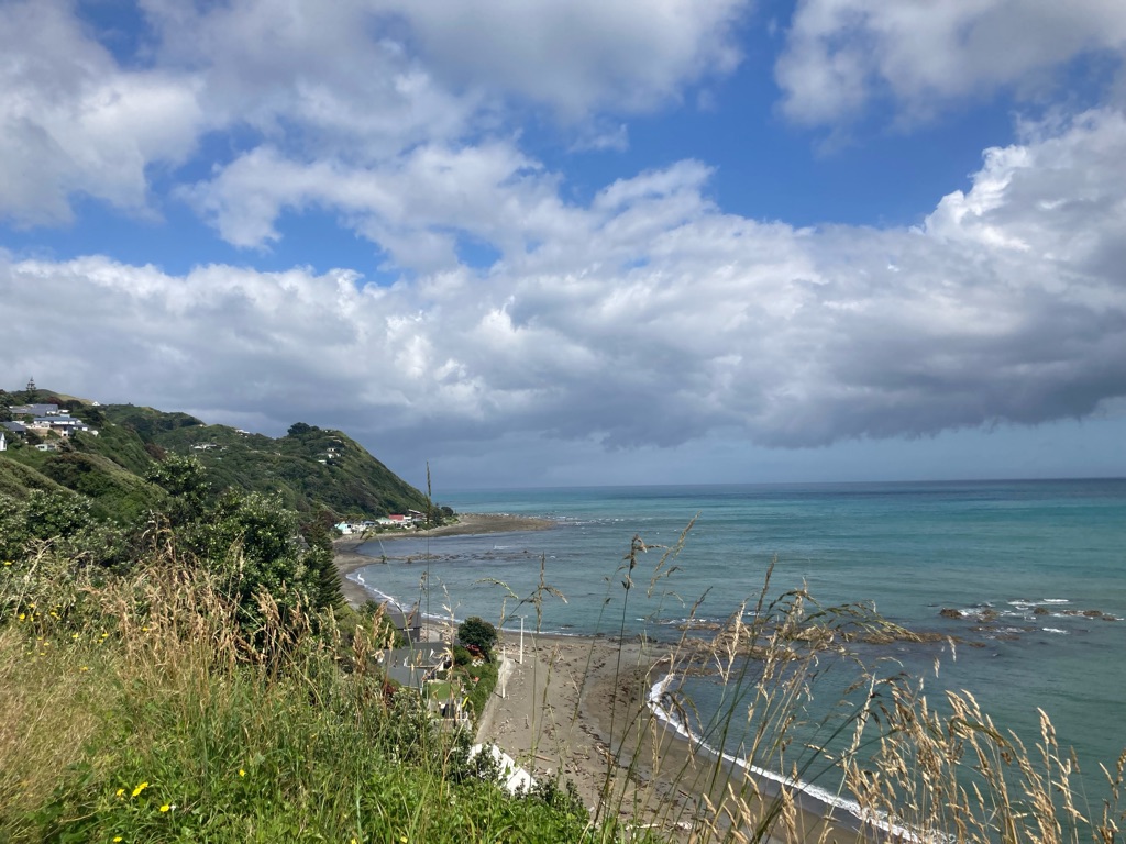
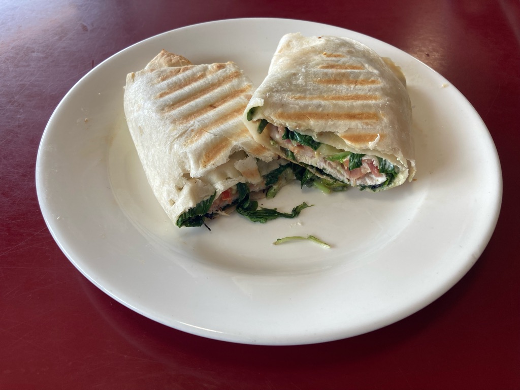
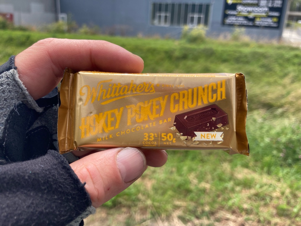
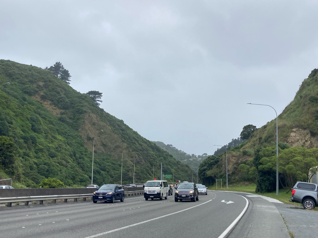
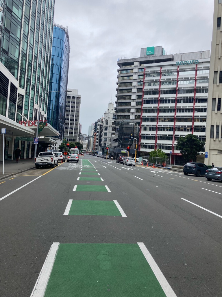
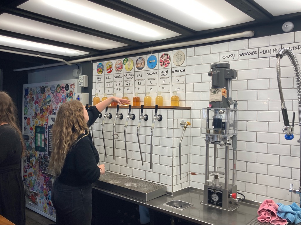
Time to go!

I’ve decided to take a month off work and go cycling in New Zealand…my flight is today, so it’s time to go!

Although I suppose it isn’t really a month off work, since I wouldn’t be working much over Christmas Day or New Year… regardless, I guess this will be a little different to my usual December. I hope my mum and dad don’t miss me over the holidays too much! It’s a shame to miss out on winter fell races too, though on the upside perhaps 5 weeks without running will give my Achilles tendinitis a bit of a rest (hopefully the first and last injury chat in this blog…). Actually, I’m not sure I’m quite over the trauma of the ‘Tour of Pendle’ a few weeks ago so maybe a break is a good idea…

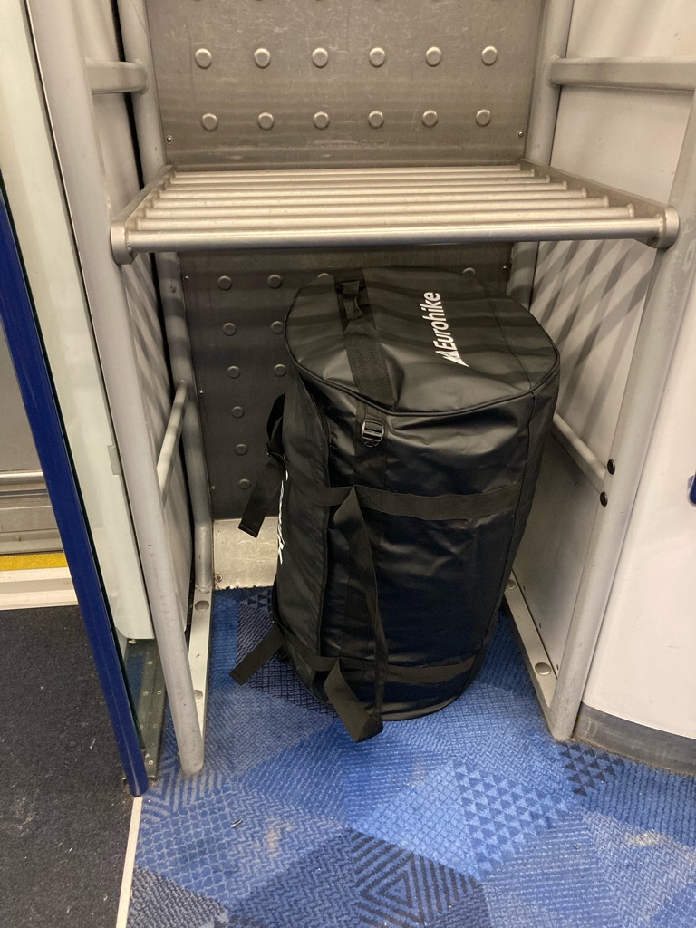
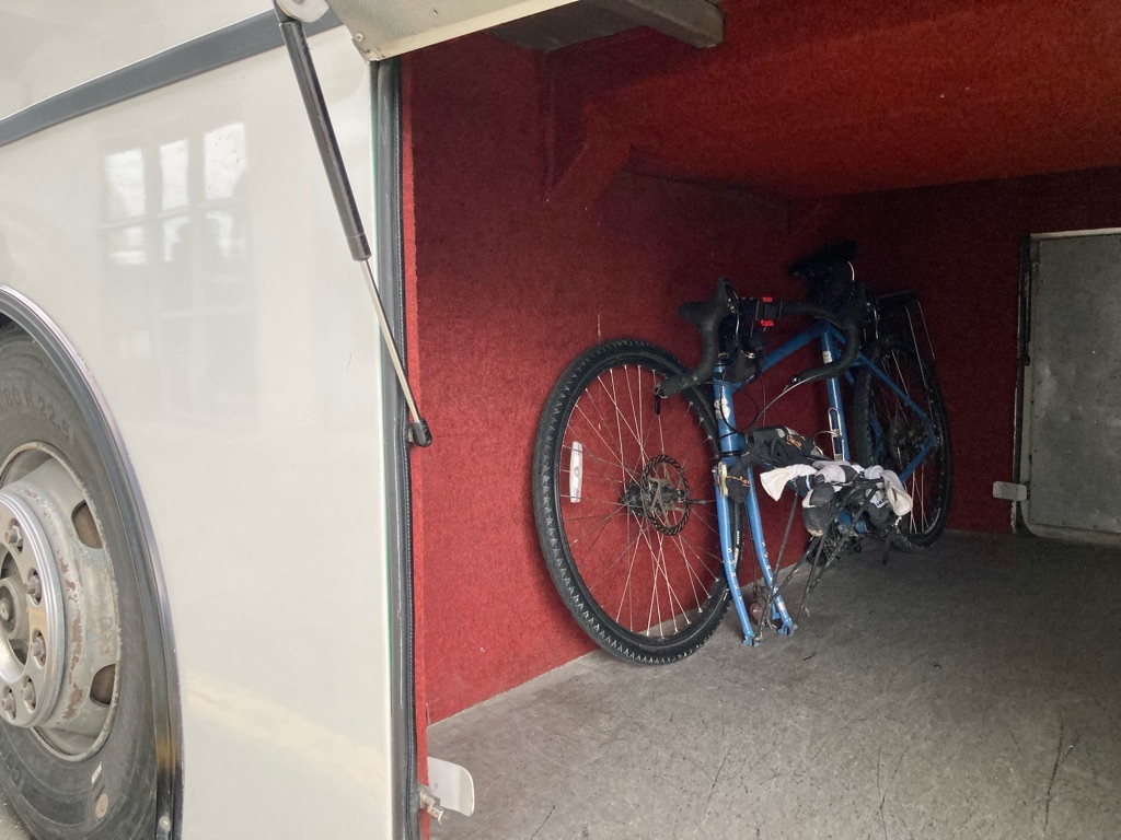
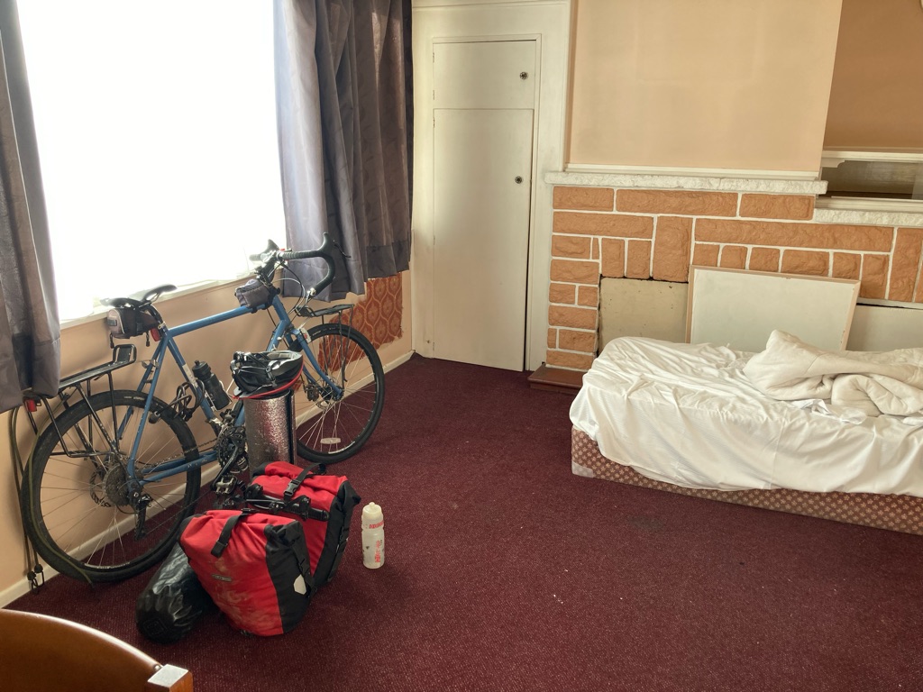
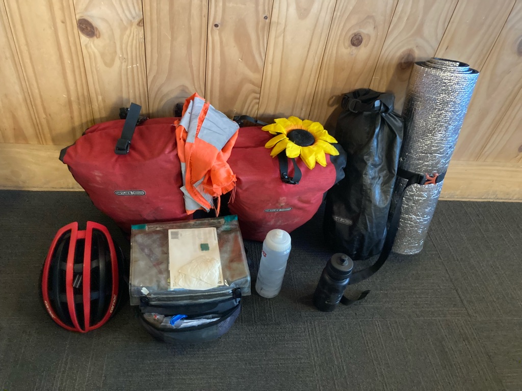
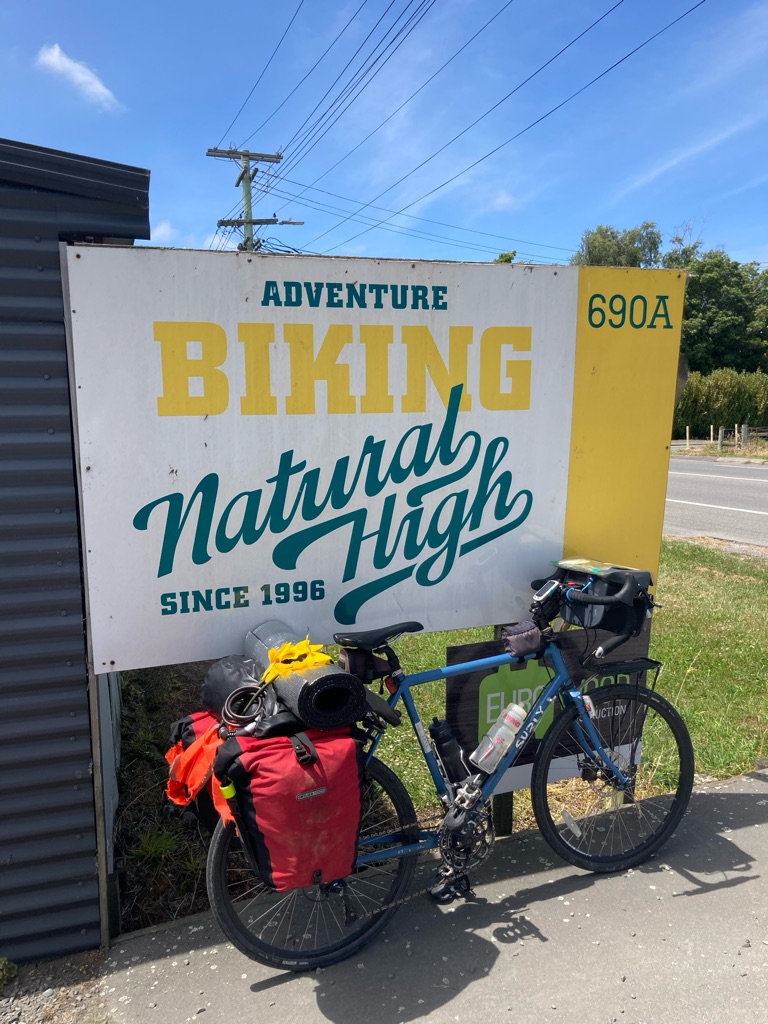
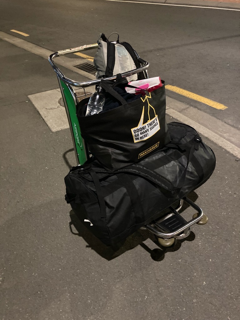
I decided to hire a bike from Natural High bikes in Christchurch. I thought about taking my own touring bike, but it’s so dirty that I thought it might be hard to get through New Zealand’s border checks! It certainly makes for an easier trip out, one hold-all for kit, and bike helmet as hand luggage, instead of disassembling the bike to get it into a box. No stressing with pedal wrenches and getting covered in grease, or worrying wherher some vital bike part could get lost or broken in transit. Though it still seemed to take forever to pack my things, somehow. Hopefully I haven’t forgotten anything…4 pairs of socks is enough for a month, right?

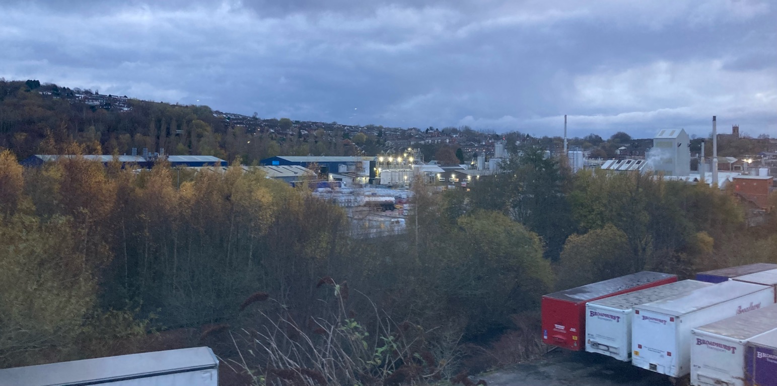
The front door handle came off in my hand as I locked and left my flat to go to the train station. I trust this isn’t an omen for the trip! There was no time to fix it or I’d have missed my train, so I pushed it back into place and closed the door. That can be a problem for future Andy in January 2023 (hopefully not along with my still slightly-damp washing, which I hope will dry and not go mouldy…).. Fortunately the Transpennine Express from Leeds to Manchester behaved better than my door, and delivered me to the airport on time. Even a scenic view of Stalybridge on the way…

My flight was due to leave at 2040, Emirates suggested arriving at Manchester Airport four hours in advance, which seemed a bit excessive…however the check-in queue took over 90 minutes so I’m glad I did what they said! The bag weighed 16kg. At least I’ll be leaving l some of its contents with Natural High in Christchurch and won’t be riding with all of it…

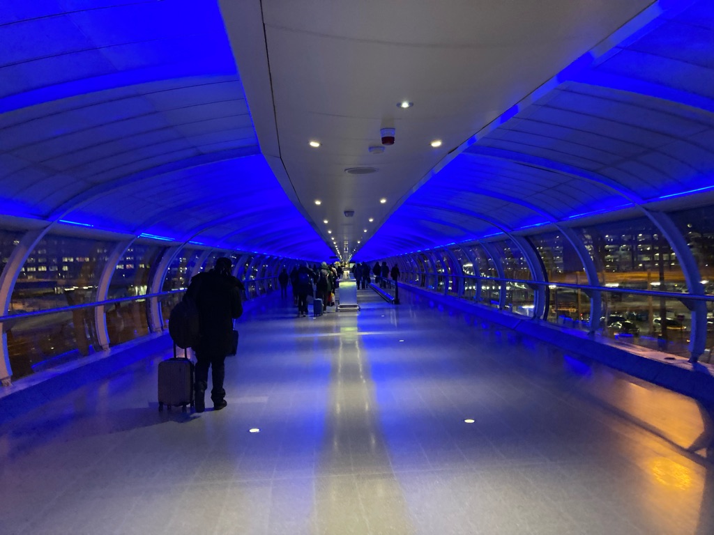
Manchester airport looked very futuristic…shame the travelator wasn’t working though!

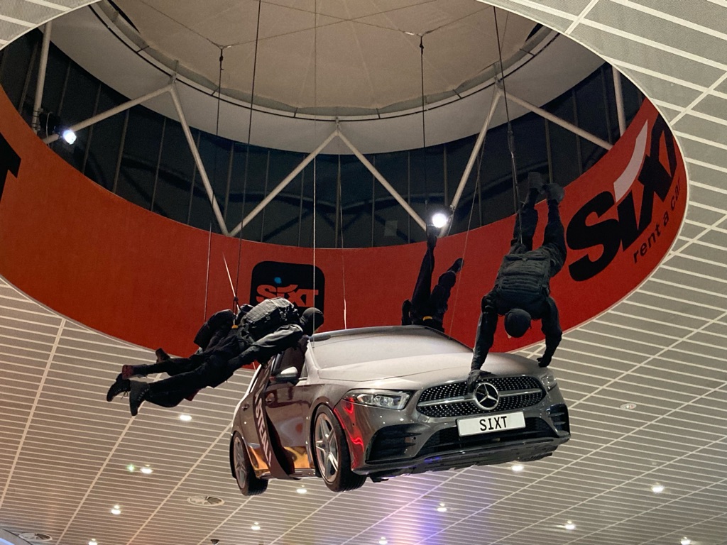
As if Manchester airport departures lounge wasn’t exciting enough already…

No idea what was going on with this car rental display…not sure if the chaps in black are supposed to be abseiling through the roof with it, or jumping out of the way…

Plenty to do after gettting through security:-

  • Learn to use this app
  • Research some cycling routes (this is handy… https://www.nzcycletrail.com/find-your-ride/new-zealand-cycling-map/ )
  • Read my NZ guide book, to get some ideas for places to visit, and random facts. Here’s one: Apparently 70% of the population lives in North Island.
  • Download a crossword app (not sure why this was a priority…)

Ready to fly to Dubai.

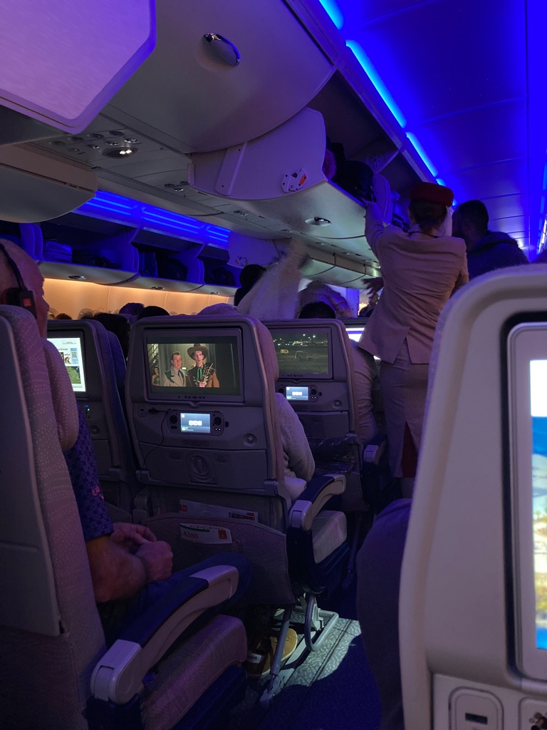
There weren’t any delays or cancellations, and boarding went as planned. Let’s see if I can post this before taking off!

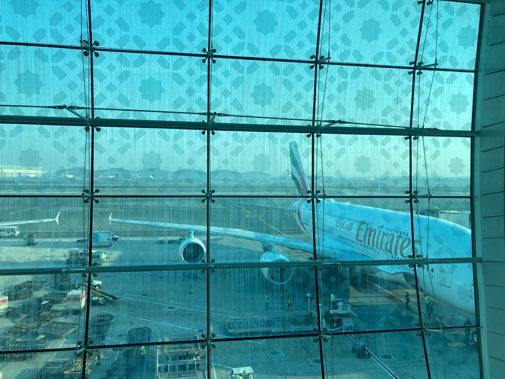
Dubai airport

That’s the first flight over with - 7 or 8 hours. I watched ‘Dune’ and perhaps got 2 or 3 hours of sleep after that. If there was breakfast in the flight, I missed it. The dinner was good though. I’m impressed by the metal cutlery that Emirates provide. I guess that I am easily pleased! It was about 4am UK time when I arrived in Dubai, so I suppose about 5pm in New Zealand. I spent a little bit of time idly contemplating how I’d deal with jet lag when I arrived. My conclusion was that it would probably deal with me!

On the topic of time, I also ponder whether I should write this blog in the present or past tense. It’s already become a mix of both. Oh well.

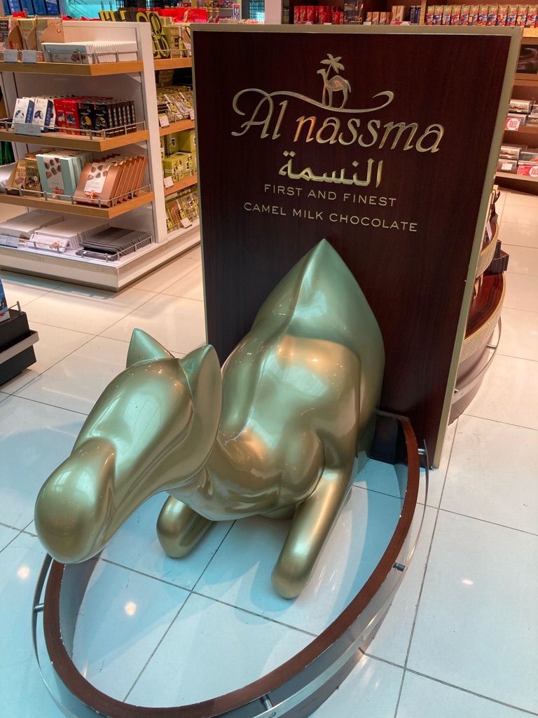
Fortunately there are only about 3 hours to wait in Dubai airport…mainly walking around so I don’t fall asleep and miss the next flight, and resisting the temptation to buy food out of boredom. The prices certainly help with that. Maybe I’ll try the camel chocolate on the way back.

The best band of camel chocolate…by virtue of being the only brand of camel chocolate??

The flight to the stop in Melbourne is going to take about 13 hours. My current anti-jet lag plan is to pretend I am already on NZ time, and try to sleep when I get on the plane, which I think will be late evening in NZ. Assuming I don’t fall asleep before boarding, of course. I’m due to arrive in New Zealand in the afternoon on the 7th December, and will be collecting the bike from the shop on the 10th.

A bit more walking around to stay awake. There is another automobile themed display in this airport. I think Manchester’s was more exciting. I wonder whether Melbourne and Christchurch will follow suit..

I had read somewhere that masks were compulsory in Dubai airport, which turned out to be incorrect. Or out of date, anyway. Very few people are wearing them. Is that a good sign?? I’d brought some masks with me and worn one in Manchester airport, and during boarding&disembarking the flight (I was not quite keen enough to try to sleep in it). Might as well wear one now, since I have it with me. I’m not really up for getting covid and spending 2 weeks in my tent instead of on my bike! I realise I haven’t packed any covid tests…hopefully it won’t come to that!

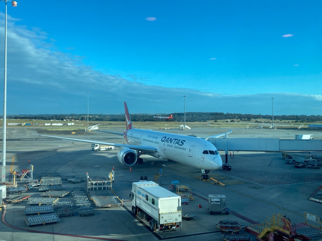
Melbourne airport

Just here for 2 hours until the final flight to Christchurch….not much to report! Although there is a bit of a delay due to the crew being late... I think that on my return trip in January I’ll have a 7 hour wait in this airport, at least there are lots of shops. No car displays as far as I can see though…

I did get some sleep on the last flight, but I’m quite tired here. I don’t have a good sense of what time it is - on NZ time it is about 11am now. I wonder if I’ll be able to stay awake another 10 hours to go to sleep at the right time. Or perhaps my sleep debt will catch me on the next flight!

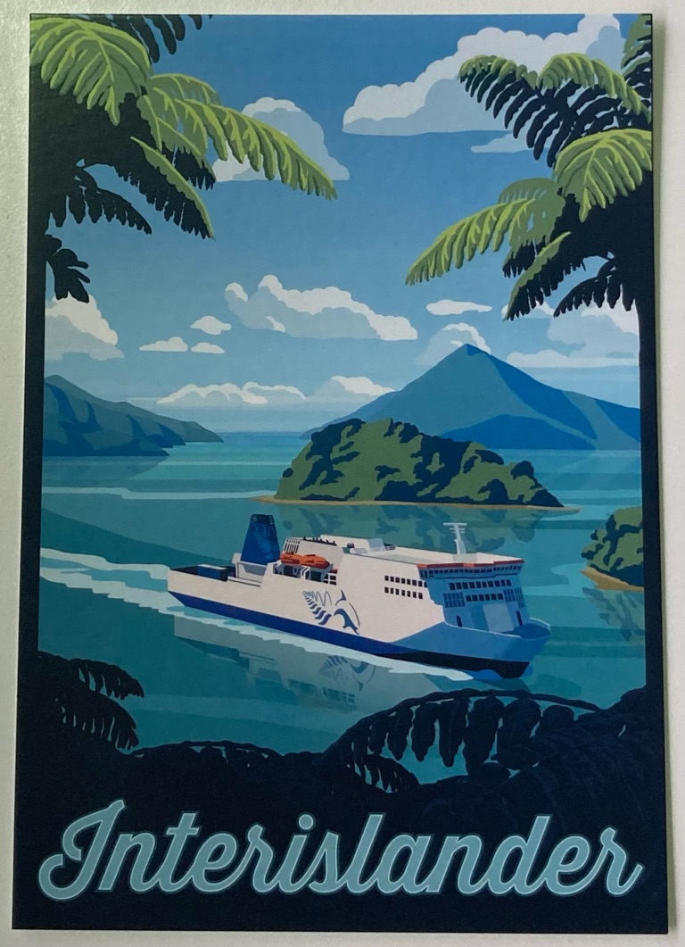
I am not in a very productive state to do any trip research to be honest, but I have a little go anyways. At the moment, I have a vague plan to ride West from Christchurch (via “Arthur’s Pass” over the Southern Alps), explore the West coast and then eventually get the ferry (from Picton to Wellington), so that I can explore the North Island. North Island is where Rotorua is, the most famous tourist place I have heard of, so it seems like an obvious choice. I’m sure I’m falling for some sort of cognitive bias there (availability bias?), but there are so many possibilities you’ve got to start somewhere I suppose. Once I’ve started the trip I can plan as I go.I think it’d be a good idea to check whether the ferries run on public holidays over Christmas and NY, as I suspect I might want to travel then. In the process of doing this, I find that it appears you need to book ferry tickets in advance, and that there is already limited availability for a lot of days (I guess because it is the holiday season). Not quite as easy as just turning up on the day and jumping on board! I don’t want to get stuck on the North Island and not be able to get back to Christchurch for my flight home!! I’ll have to make some sort of proper plan.

1
Bealey Quarter

Arrived in Christchurch

The last leg of my flight was fine and touched down in Christchurch at about 1530. My tent was checked by the border force/customs to make sure it wasn’t muddy or covered with seeds, insects or anything like that. I had heard about the strict border control checks that are in place to stop pest species getting into New Zealand, so I’d given the tent a very good clean and scrubbed all of the pegs. I felt it was as dirt-free as it could be, fortunately the inspector agreed. I didn’t get to see what they actually looked at, as they took the tent away into another room whilst they did their checks. Handily, the airport offers (non-compulsory) LFTs for covid for free, \240so I got a box to take the place of the ones I neglected to bring myself. Hopefully I won’t need them!

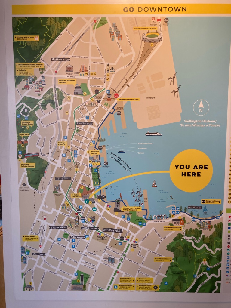
I got a bus from the airport towards the centre of the city - handily my hotel was only about half a mile from the bus route. The ticket was a bargain at $2.10 ! I looked out for cyclists to see what sort of roads people ride on, and the way people drive here, to start getting a bit orientated for when I start riding myself.

It was about 1800 by the time I got into my room at the “Bealey Quarter” hostel. I decided to get my own room, to get some better sleep after the flight, and perhaps reduce the chances of covid, though the hotel is hostel-style with shared bathrooms. I had a shave and a shower, which was good after about 40 hours of travel!

I wanted to try to stay awake until the right time to go to bed on NZ time, so I decided to take a walk towards the centre of town and have a look about.

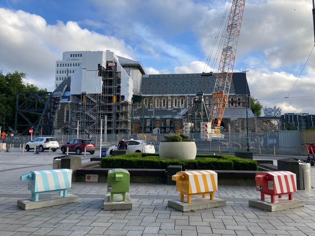
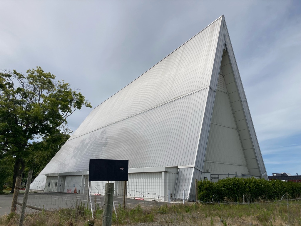
I didn’t have much of a plan other than to use some time up. I managed to find the Christchurch Cathedral that was badly damaged in the 2011 earthquake and is still being worked on. There were also some ‘urban sheep’ in front of it. I’m led to believe that I’ll see a lot more sheep in my time here!

Other things on my exploratory walk:

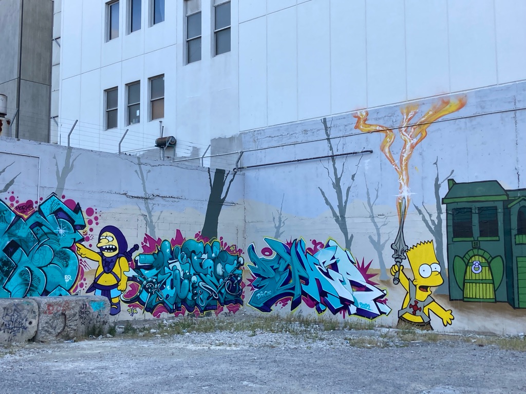
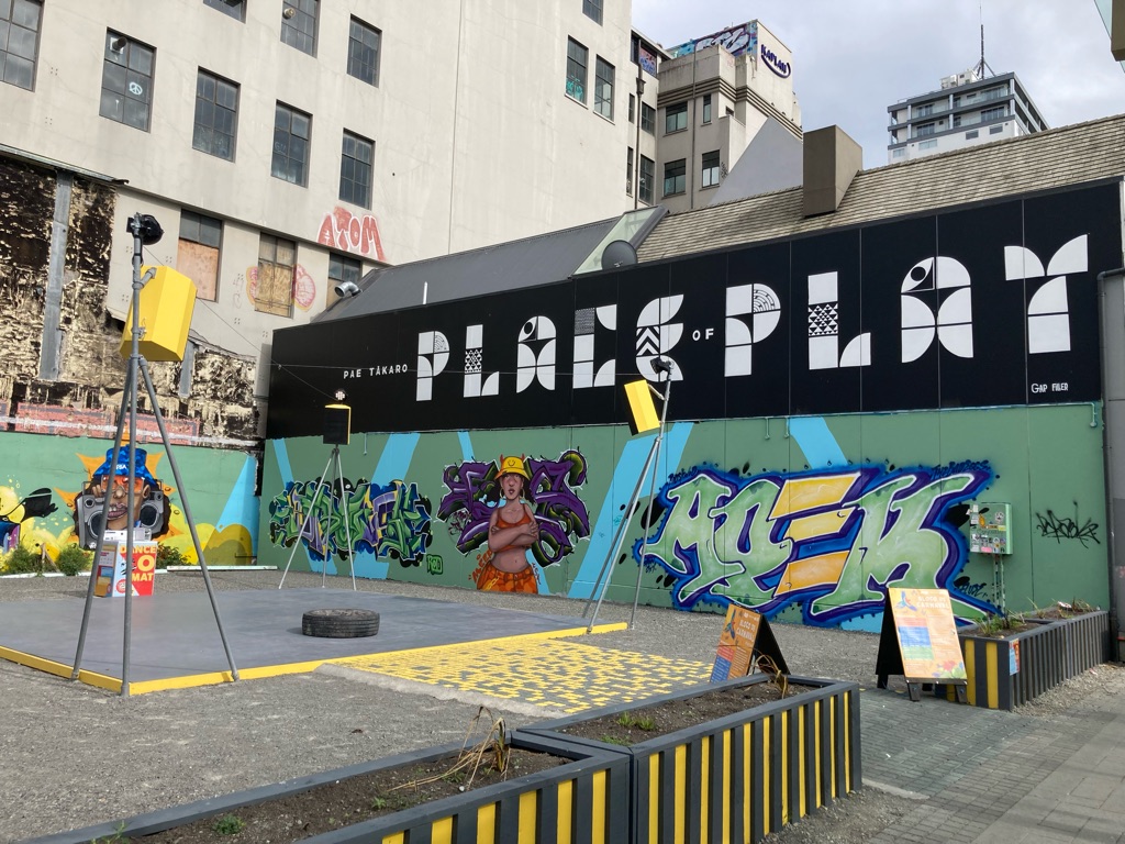
There was a lot of street art and graffiti in the area around the Cathedral:

Simpsons and He-Man (or is it Heman? A little before my time)

It was a little breezy, and around 12 C. My hands were pretty cold after walking outside for 2 hours, and I was glad to be wearing a jumper. I hope that I have enough warm clothes with me for riding. I am still planning what kit to take with me on the ride, so this is a useful data point! \240I’m glad I have some gloves with me! I didn’t do the greatest amount of research on the weather in New Zealand, other than having a vague awareness that December is summer time, and guessing that the further North you go, the warmer it might be as you get closer to the equator (that may be complete rubbish though…)

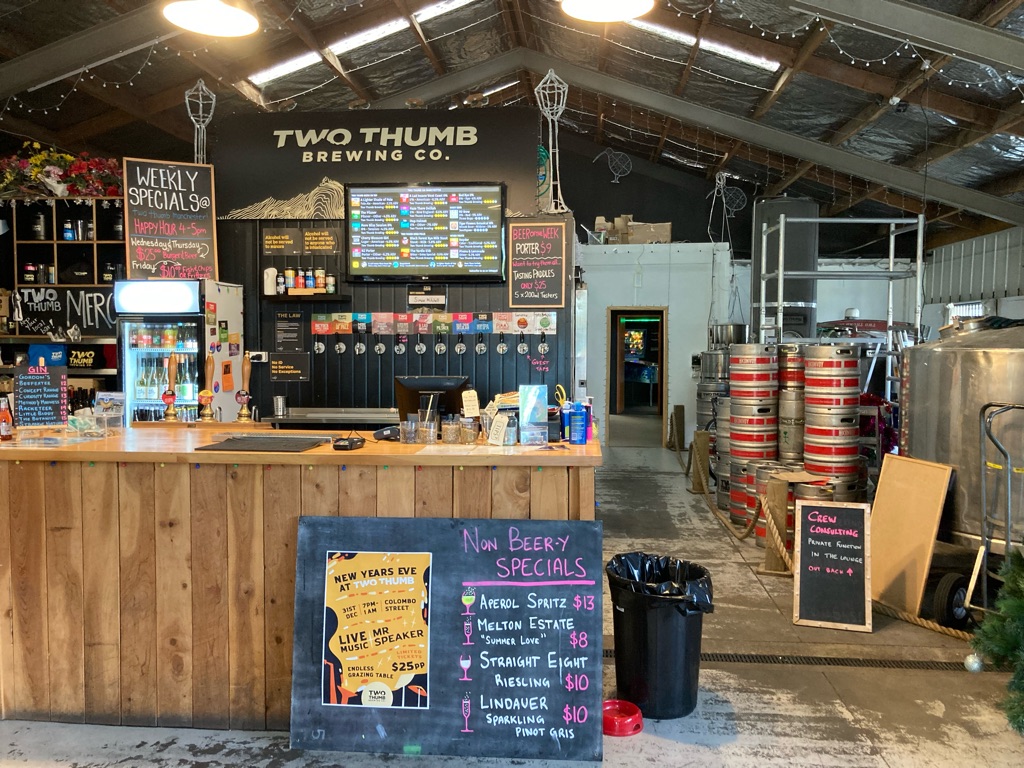
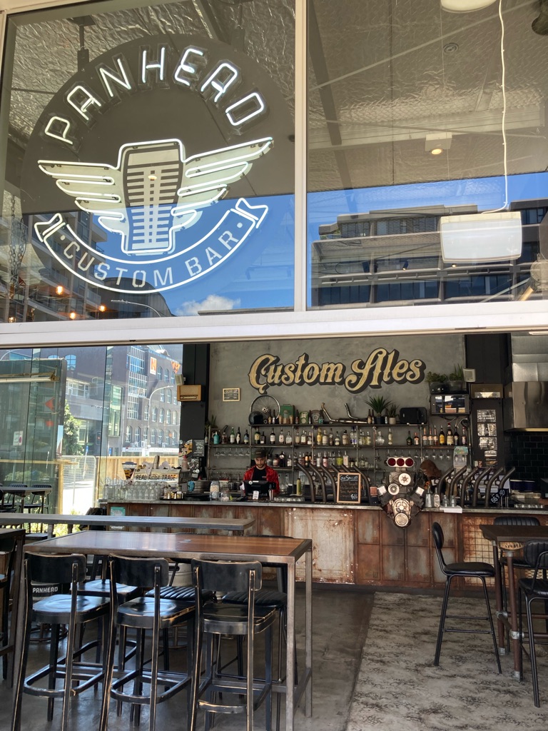
I’d planned on finding somewhere interesting to eat in the evening. There was a lot of choice in the city centre, particularly in an area called the Riverside market, but I was feeling pretty tired by 8:30 and ended up deciding to back to the hotel. I had a look in a ‘Two Thumbs Brewery’ on the way back, which was some sort of craft beer place with a taproom and open air seating. it looked good but I was too cold and tired so went to the hotel’s bar/restaurant instead which was rather less novel. I also missed out on a 10% discount by virtue of being a hostel guest, clearly I wasn’t 100% on the ball!

My sleep debt had definitely caught up with me and I was nodding off by 9:30pm. Time for bed! The first part of my jet-lag plan had worked!

2
Japanz Bakery

Looking around Christchurch (day 1)

My plan to get through jet lag seemed to work…after falling asleep at 9:30pm the night before, I got a pretty decent night of sleep and woke up at 7:30am.

The hostel was about a mile or two from the centre so I started to walk in. I had a pretty simple aim to begin with: get some breakfast. There were lots of coffee shops to choose from in the way into town, I ended up going for one called ‘Pillar’ next to the Avon River. I leafed through some ‘what’s on’ magazines they had whilst I was eating, one of which listed top cafes to visit in Christchurch, which was handy for suggestions to build on my baseline of zero knowledge! I walked out of the cafe only to realise that I’d left my bag behind once I was 100m down the road. Perhaps my night of sleep hadn’t been as good as I thought!

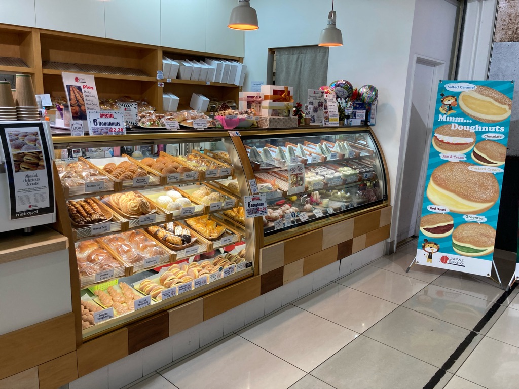
A few minutes later, I saw ‘Child Sister’ cafe which I’d just read about. I had a look inside and the food looked great - maybe one for tomorrow. I didn’t yet have much of a plan for the day, apart from to visit the Canterbury Museum and the Christchurch Botanical gardens. ‘Japanz bakery’ stood out from the magazine I’d just read so I decided to walk to that, as it was a mile or so away, and would take me through some of the city as I went.

On the way I spotted this graffiti mural - it must be Prof Ernest Rutherford, surely New Zealand’s most famous scientist - Nobel prize winner and responsible for realising that atoms had a distinct nucleus (in contrast to the ‘plum pudding’ model), leading to lots of advancements such as ‘splitting the atom’, understanding that underpin all of the technology we use, and some would say, our place in the universe. Some high brow graffiti!

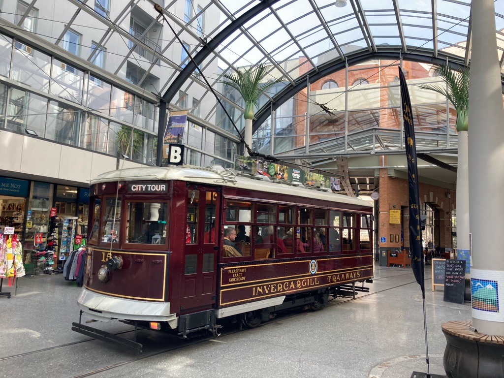
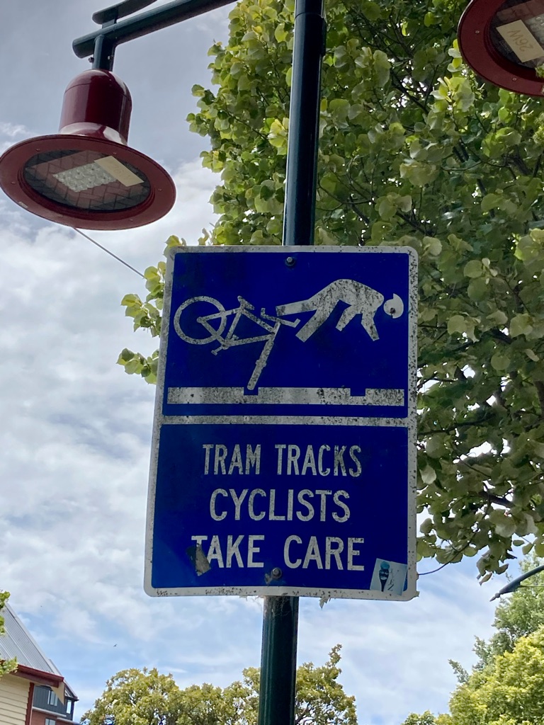
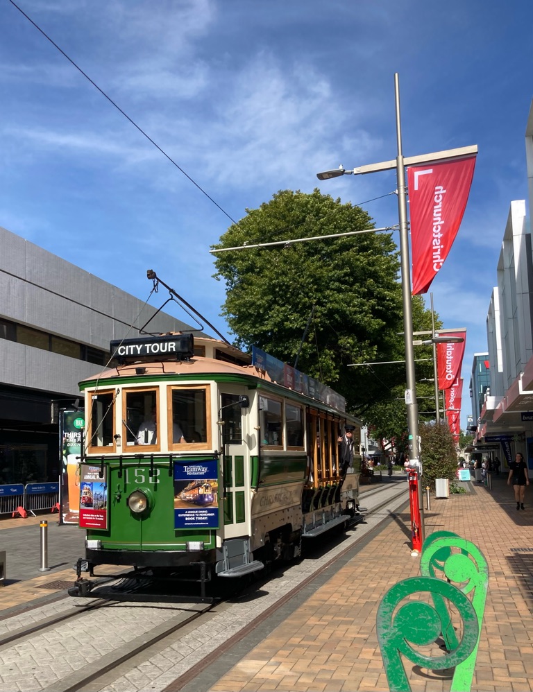
I also saw several trams. There are tracks running through the centre (I was too cheap to get a ride, of course!)

Thanks for the heads up!

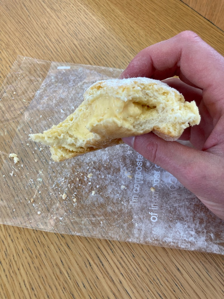
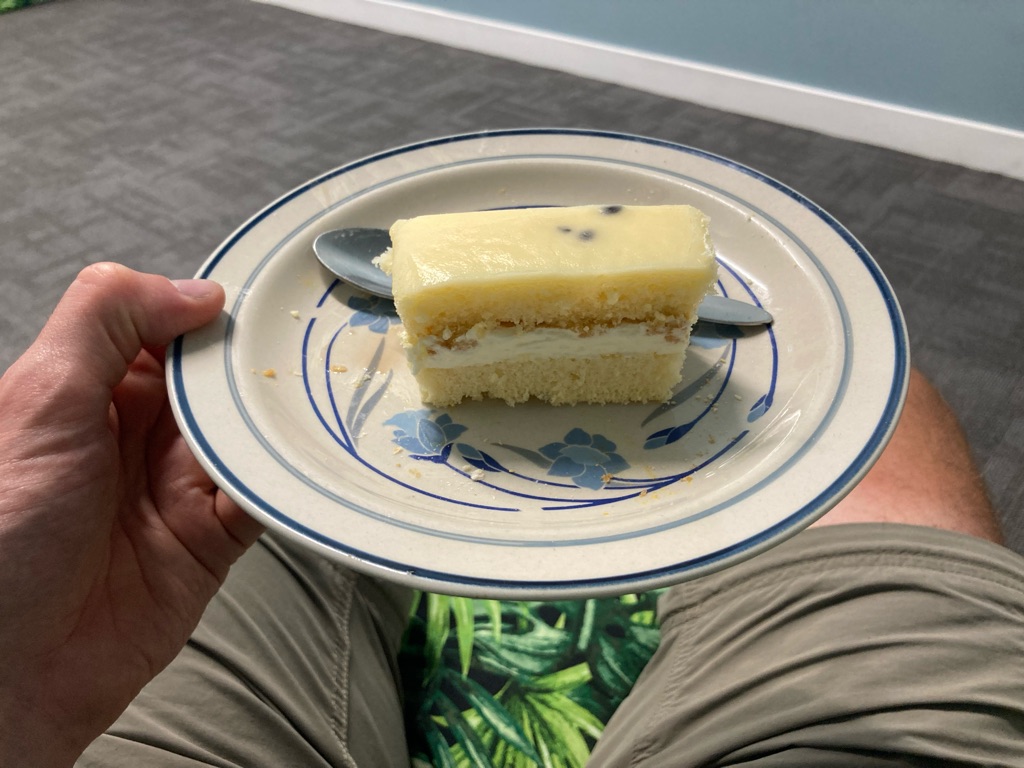
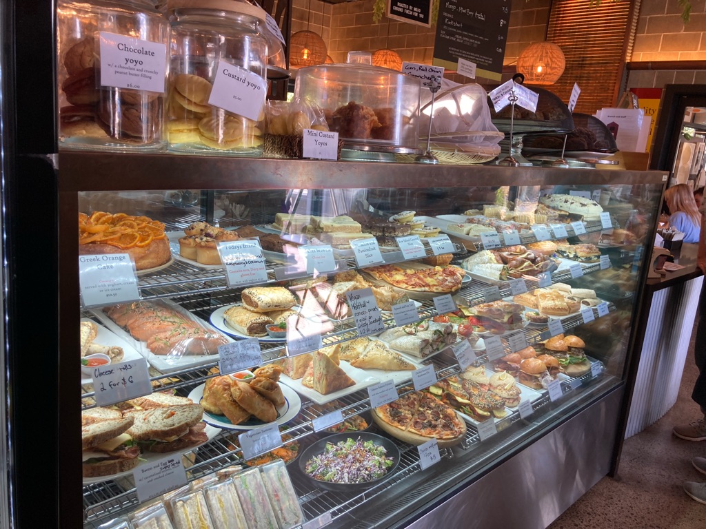
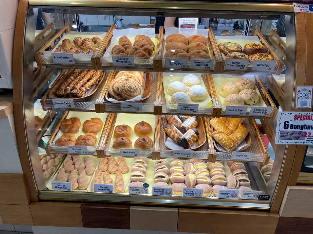
Japanz bakery did not disappoint! I got an excellent custard bun. Not every day that I get to visit a Japanese bakery! Being located outside the city centre it seemed to be a fair bit cheaper too. It was inside a mall with a food court and some other shops. Perhaps somewhere for souvenirs at the end of the trip.

Japanz bakery

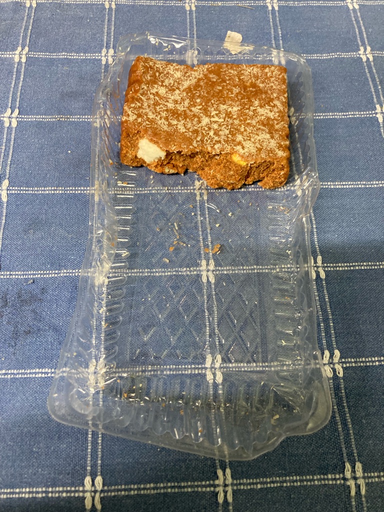
Tasty!

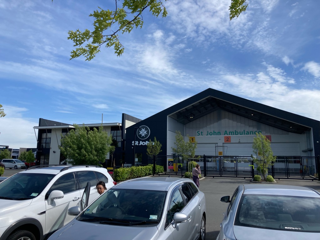
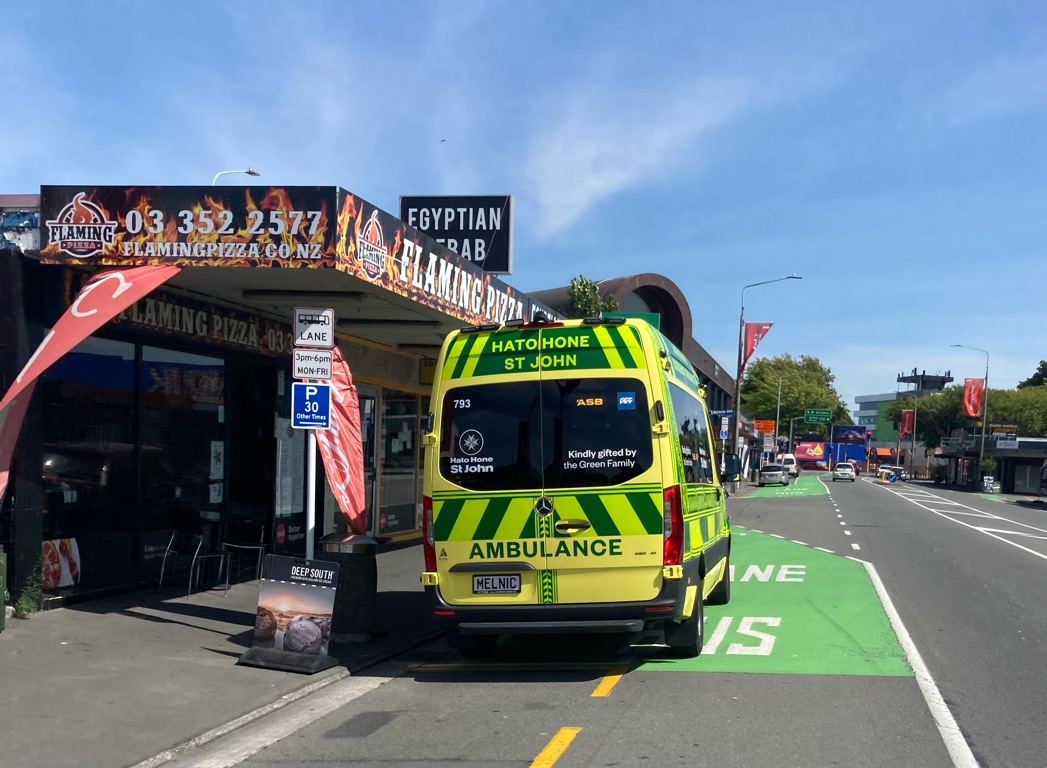
I also saw this St John Ambulance hub near the mall. Looks rather impressive, and a bit bigger than Harrogate! I didn’t realise they operated outside the UK.

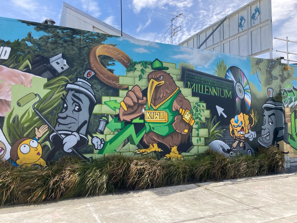
More graffiti on the way to the Botanical gardens:-

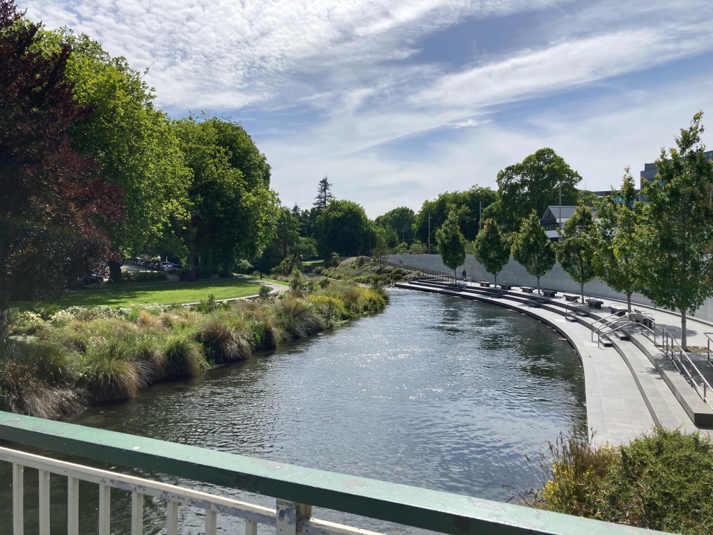
Avon River in the city centre. It seemed very peaceful, with hardly anyone about. I guess everyone is at work, and not holidaying like me…

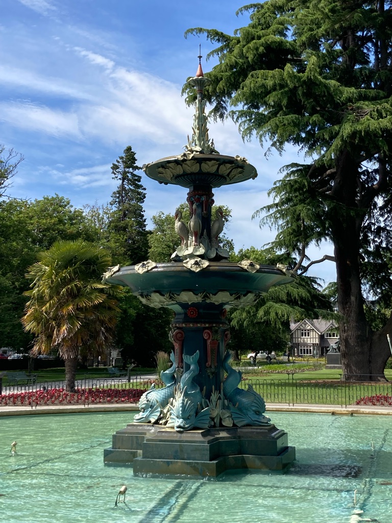
‘Peacock fountain’ in the botanical gardens, and next to the Canterbury museum. I found it hard to spot any peacocks - apparently it’s the name of the person who financed it. Lots of herons and dolphins though. I saw the fountain later in the day with water running through it.

Smaller fountain:

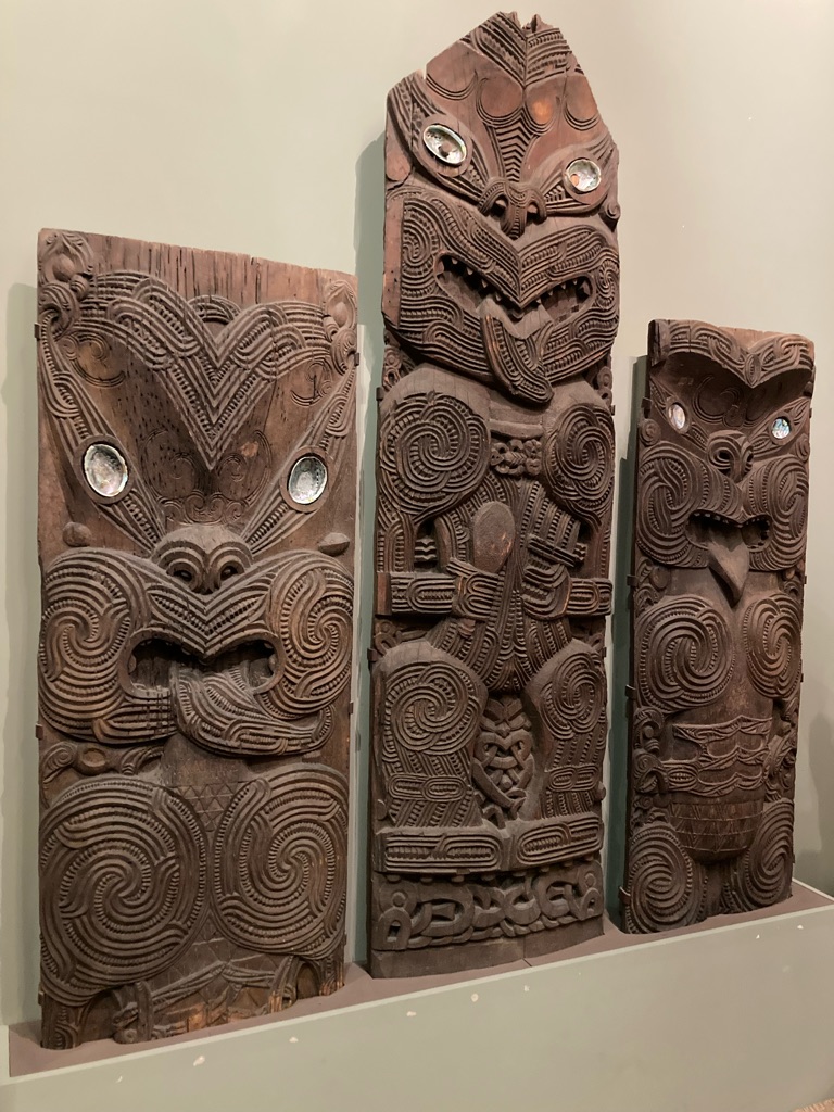
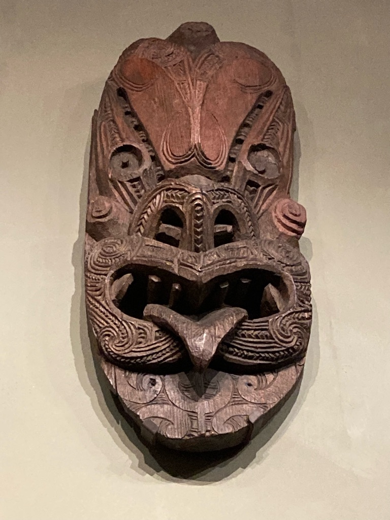
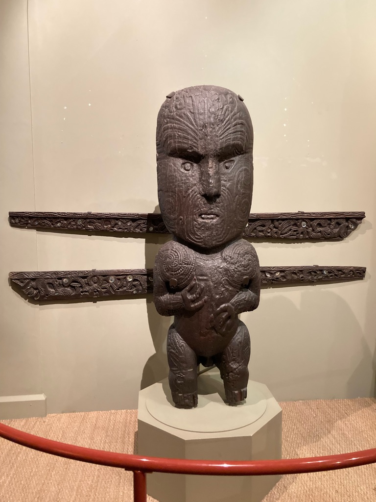
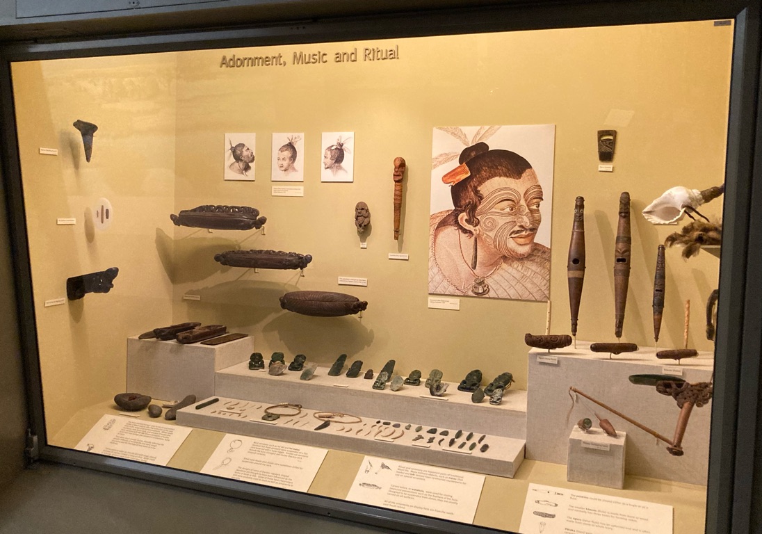
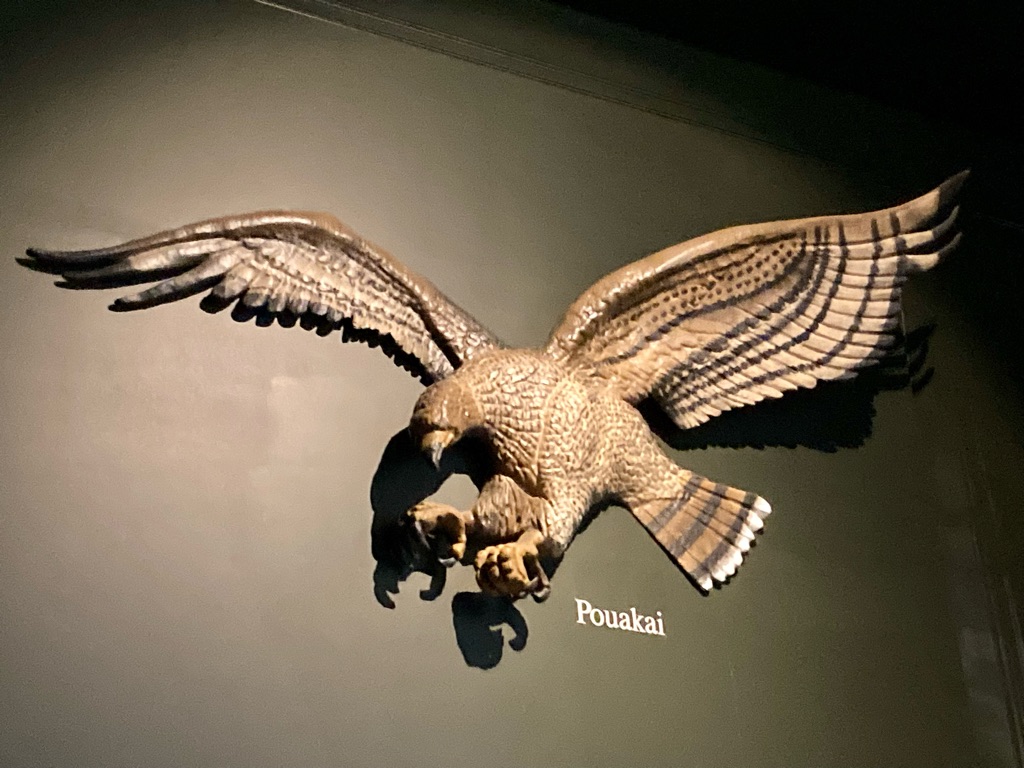
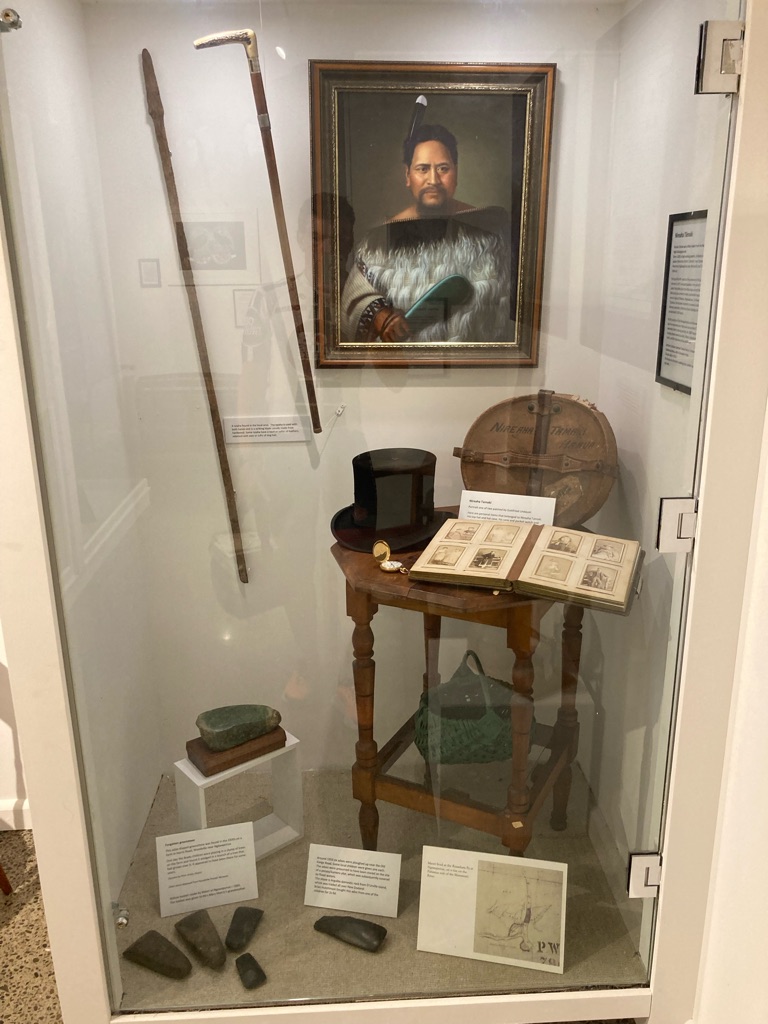
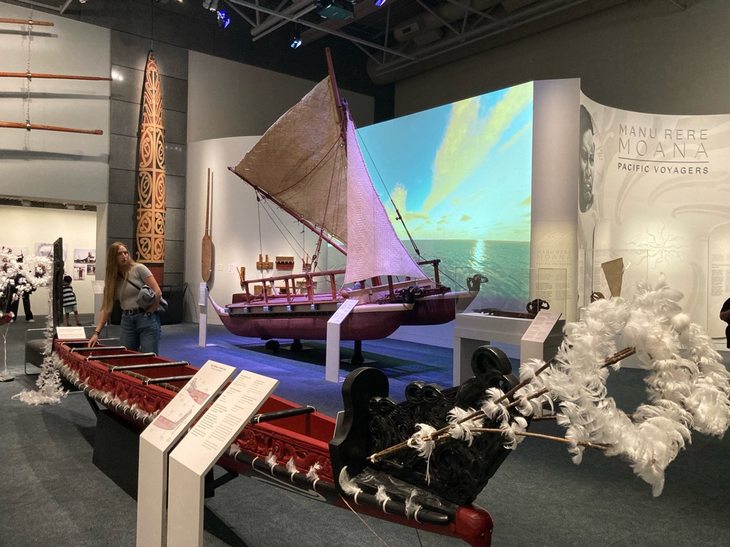
I didn’t look around the gardens straight away, and instead went into the Canterbury museum. Lots of the galleries were closed as they had a big refurbishment project planned. There was a good installation about the Māori though, and a few other things.

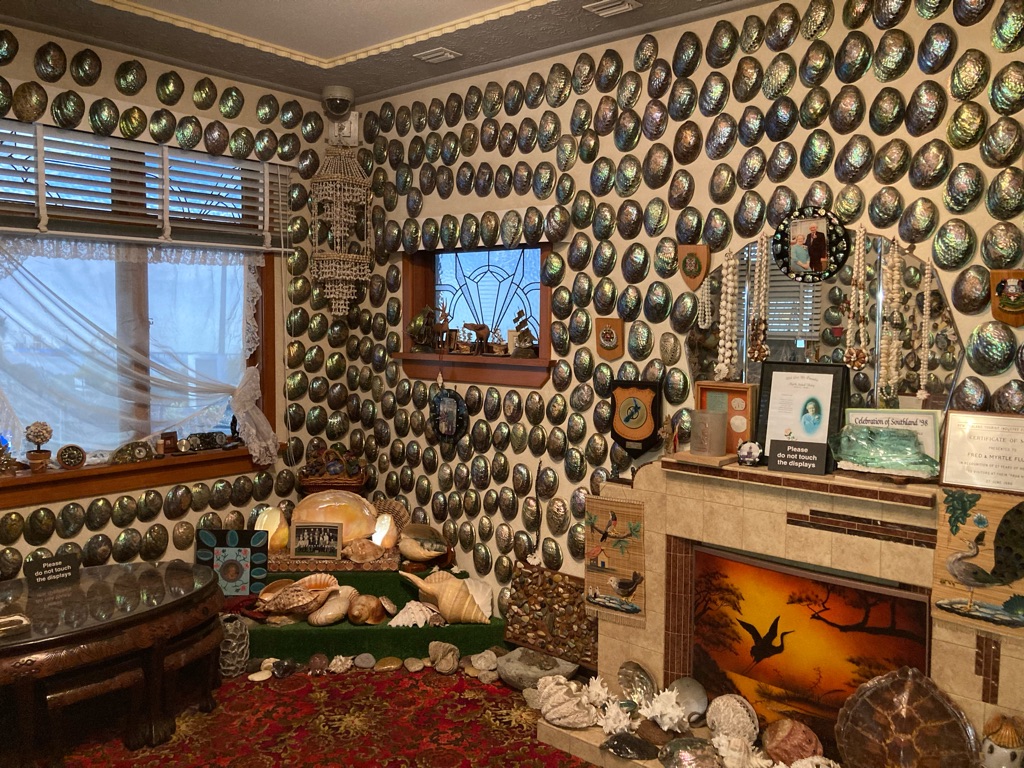
‘Paua shell house’ - apparently a couple decorated their house in Bluff in South NZ with these polished shells, opened it to the public, and ended up making it a huge tourist attraction.

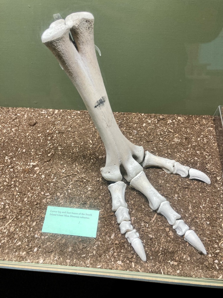
Bones from the foot of a moa, birds that inhabited NZ which were hunted to extinction by early settlers. Apparently they could be up to 3m tall (9 different species have been identified) but didn’t have any natural predators and couldn’t fly which made them bad at defending themselves from human settlers! The Canterbury museum had several moa skeletons, in advance I felt these were the main reason to visit! I didn’t get any decent pictures of the whole skeletons, they were behind glass that was so well cleaned that all of my photos had big reflections and looked awful! The same thing happened with a Māori kiwi bird feather cloak, I assure you that I saw it though!

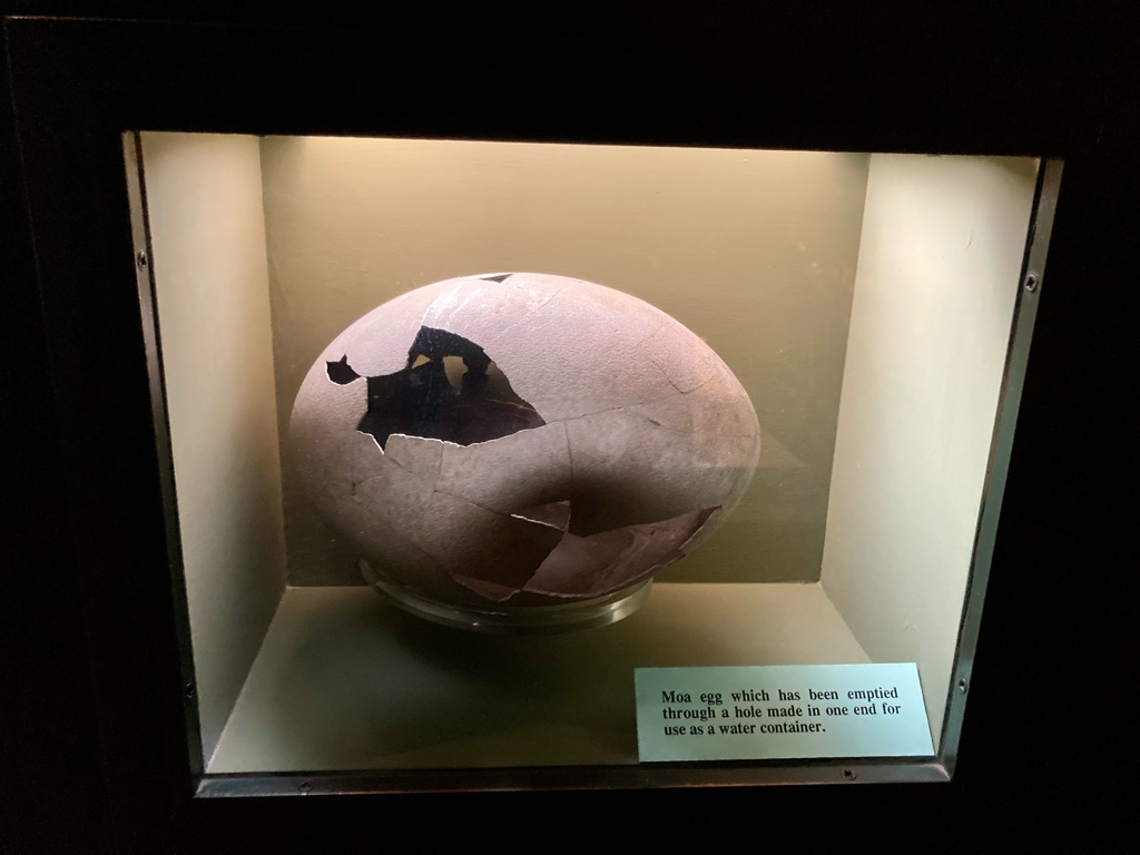
Moa egg. Apparently Māori used them as water containers, pretty ingenious!

Replication of a moa, looking suitably apprehensive I think - perhaps having a premonition about things to come…

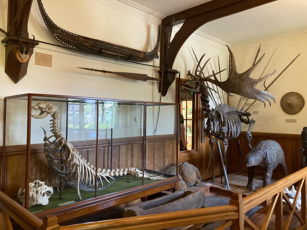
Old artefacts that had been with the museum for 100+ years included an Irish Elk skeleton, a cast of the Rosetta stone, and a ‘Sea Elephant’. Classic Victorian-era museum stuff.

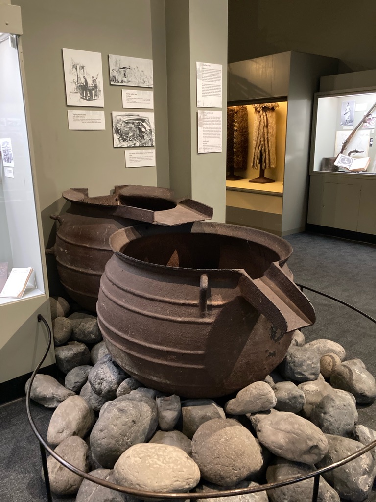
Iron ‘try pots’. These were used on whaling ships to contain oil extracted from unfortunate whales they’d caught and flayed…

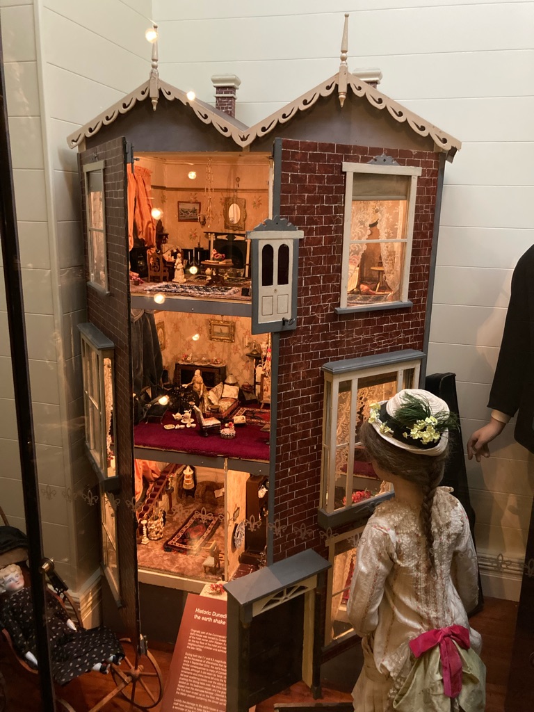
Dolls house, including earthquake damage.

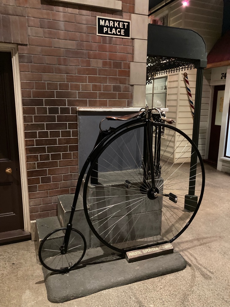
Glad I won’t be riding one of these cycles for the next month. Might be tricky to cross ‘the Alps’. And nowhere to put panniers on…

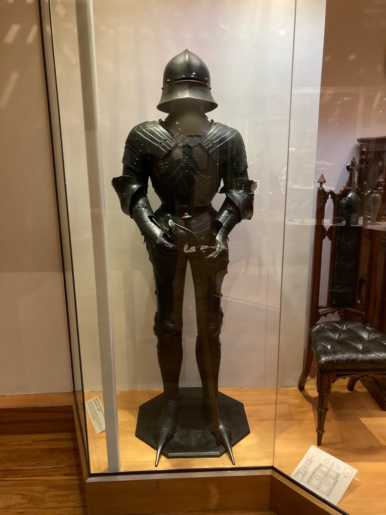
I think it is an unwritten law that every museum must have a suit of armour, I have no idea what the NZ/Christchurch connection was…

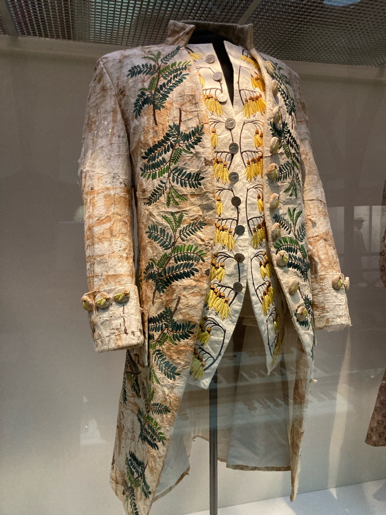
Jacket and waistcoat based on designs and fabric that Captain Cook’s wife planned. How did this go out fashion!?!

3
The Arts Centre

More Christchurch exploring (day 1)

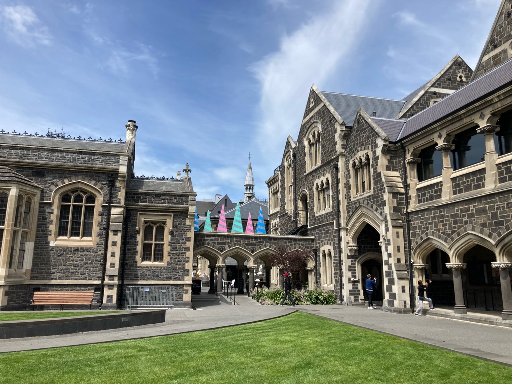
Over the road from the Canterbury museum I saw the ‘Arts Centre’. This neo-gothic /gothic revival style building used to be part of Canterbury College.

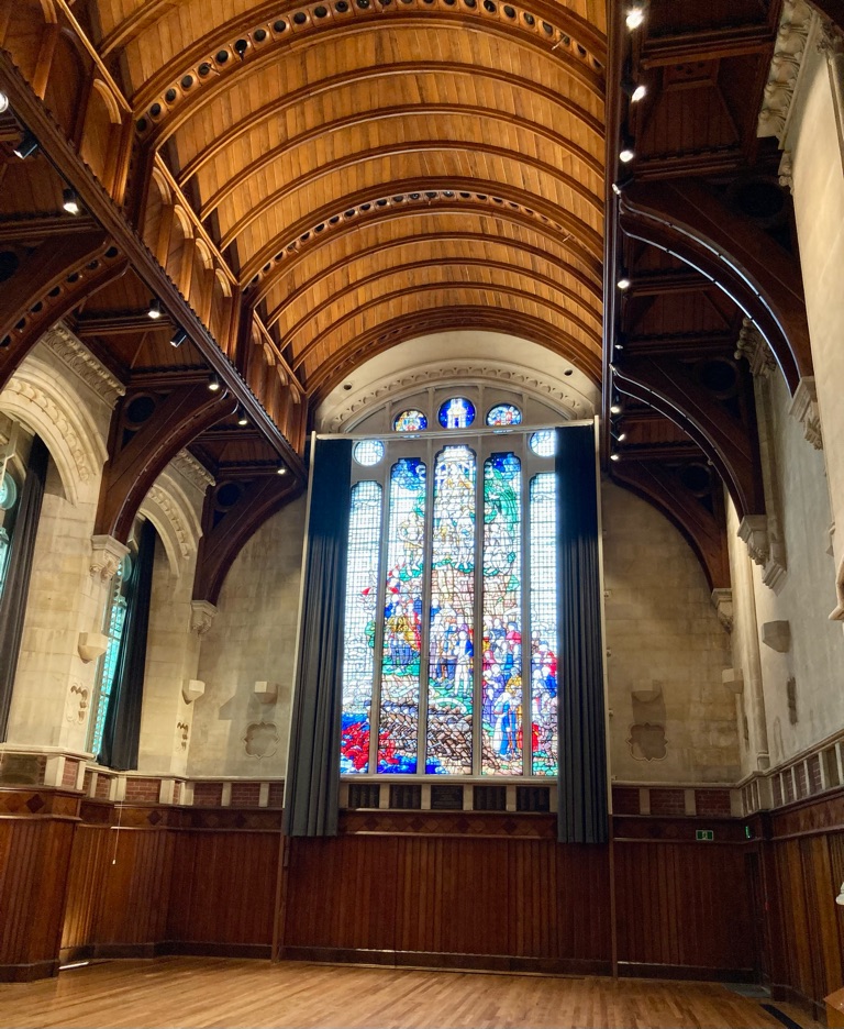
The ‘Great Hall’ inside the college seemed very much like a Cambridge college hall! Christchurch College was modelled on Oxford and Cambridge when it was established, though rightly admitted women from the start. Apparently they do a lot of public music performances in the Great Hall now. The stained glass window commemorates students of the university who fought in WW1. My photo doesn’t do it justice really, it was really impressive.

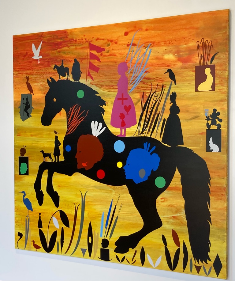
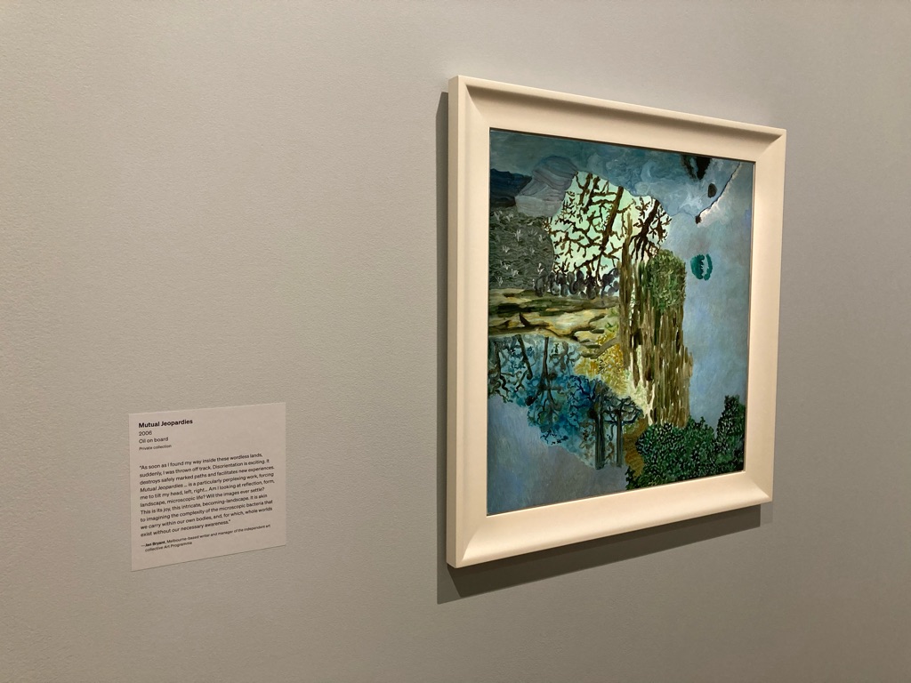
Painting in the arts centre:

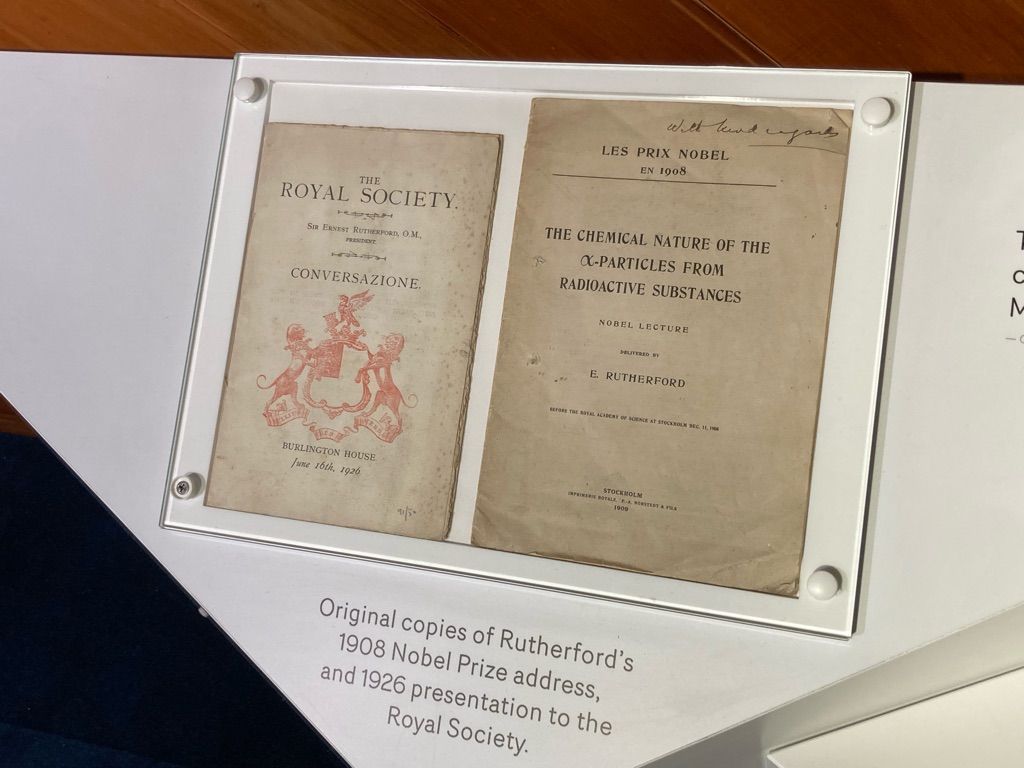
The Arts Centre had a fantastic installation about Ernest Rutherford, alumnus of the College and the father of nuclear physics. Einstein called him ‘a second Newton’. The exhibition detailed some of his life growing up in New Zealand, helping out on the family farm - resulting in him being a pragmatic, ingenious and humble scientist by all accounts. Rather different to the hirsute Europeans you usually associate with that era of science! It also included ‘the den’, a basement room that in the building that he’d used to do some of his early experiments - pretty cool to sit in it (if you like that sort of thing). Lots of displays that reminded me of A Level and undergrad physics…

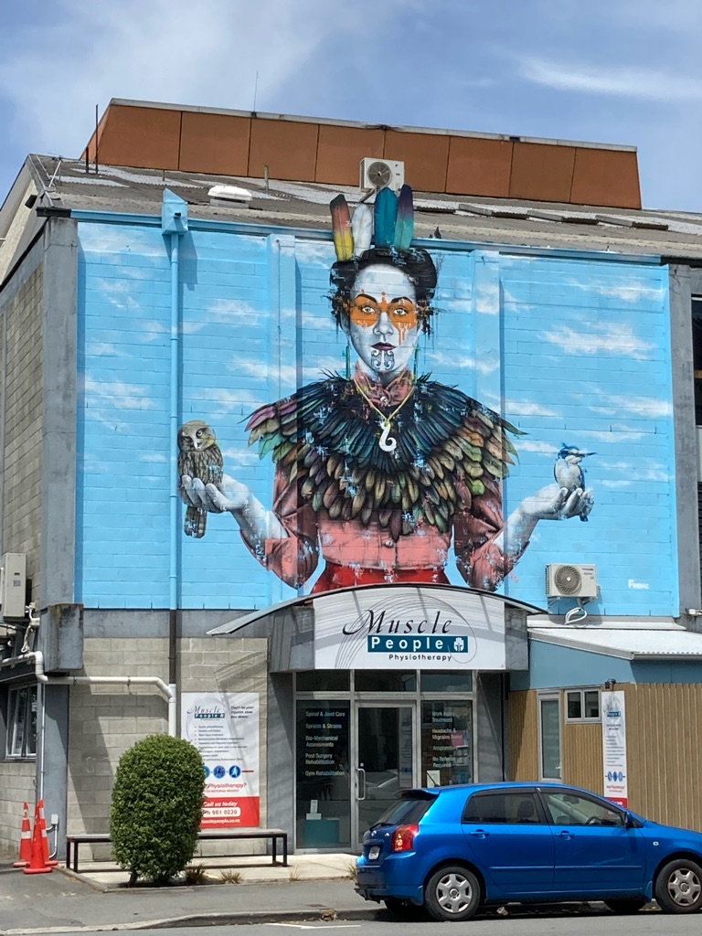
More graffiti, on a building across the road from the Arts Centre. I’d definitely go to a physio with a building like that (hopefully won’t be required on this trip though!)

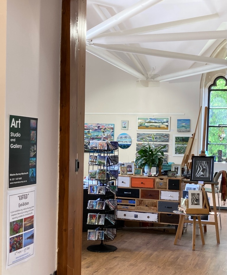
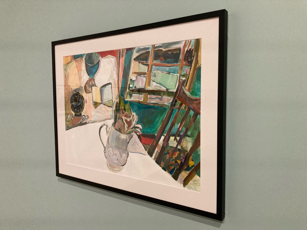
Up the road, I wandered into another little arts centre. I love a good art gallery. I am clearly in holiday mode, musing to myself that I really ought to try and learn to draw and paint properly when I get back home. Seems like a New Year’s resolution in the making that is likely to fail…

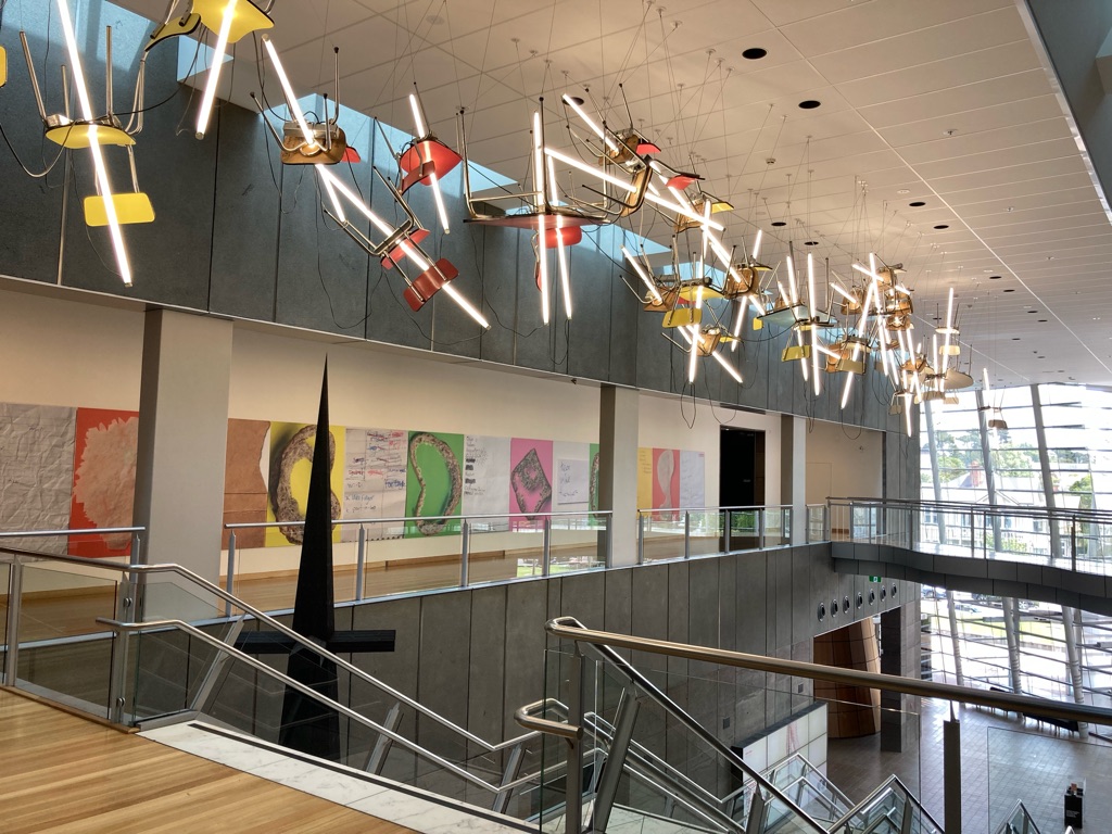
After the Arts Centre, I visited Christchurch Art Gallery (Te Puna o Waiwhetu), which was just down the street. I hadn’t realised it was there and hadn’t planned to visit, but I’m glad that I did. It was a great building with a lot of space inside. I probably spent about an hour looking around.

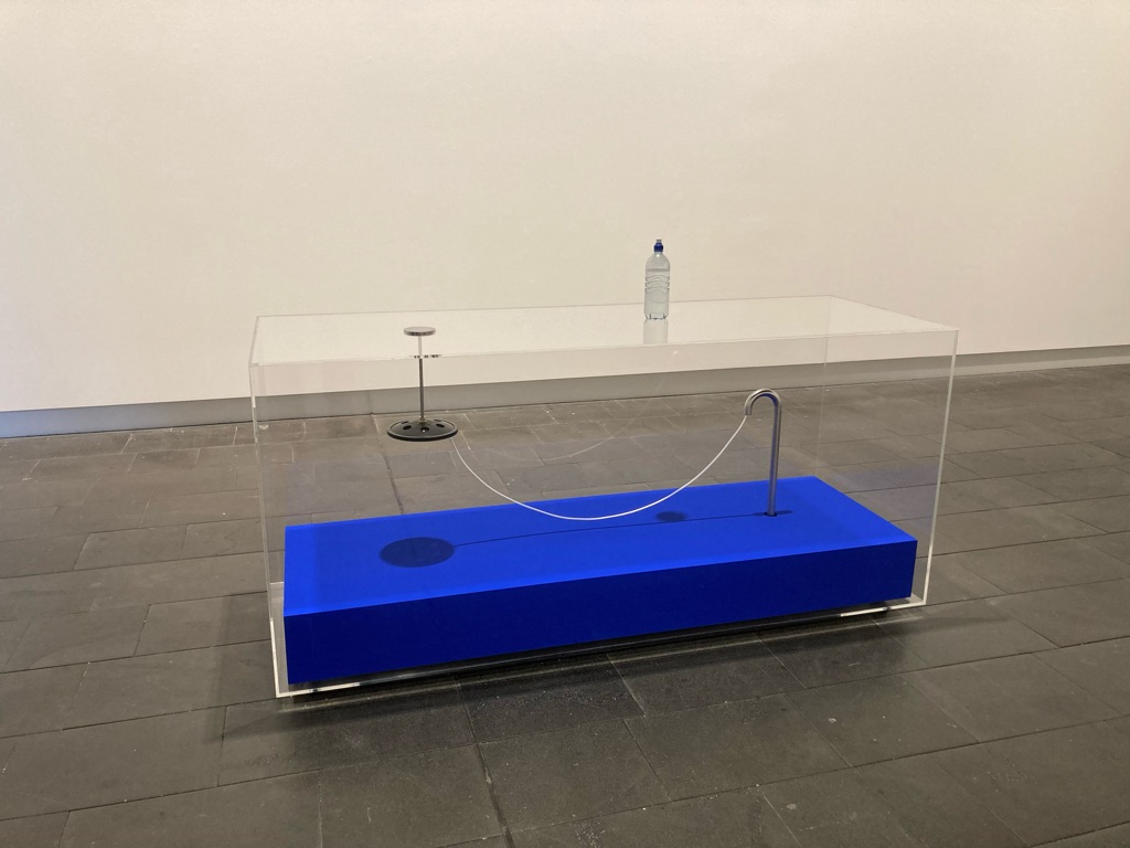
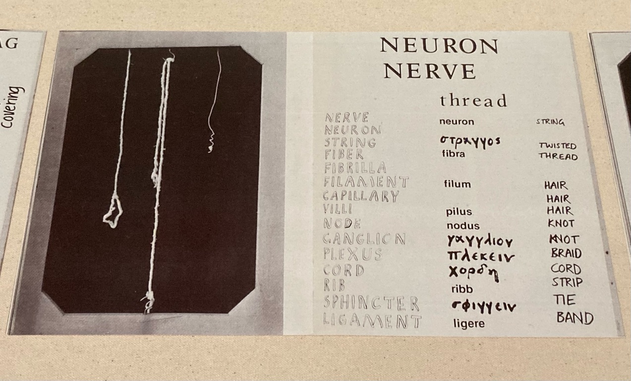
The water bottle on the top is part of this piece! I think you’ve qualified as producing a piece of ‘modern art’ if people looking at it aren’t sure if it needs to be tidied up… It also had an audio aspect.

4
Two Thumb Brewing Co. on Manchester

Even more Christchuch exploring (day 1 part 3!)

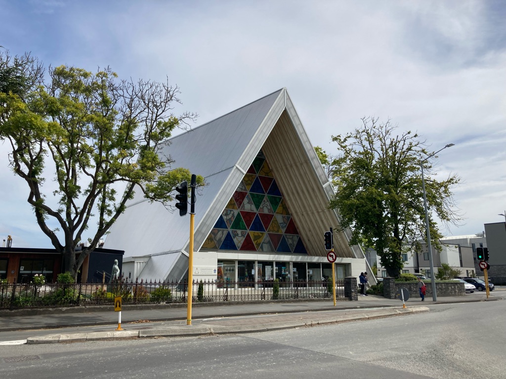
Next I headed to see the ‘Transitional Cathedral’, which was built after the original Christchurch Cathedral was very badly damaged in the 2011 earthquake. Some of the Transitional Cathedral is made out of cardboard, apparently it has a design life of 50 years though.

The front of the Transitional Cathedral:

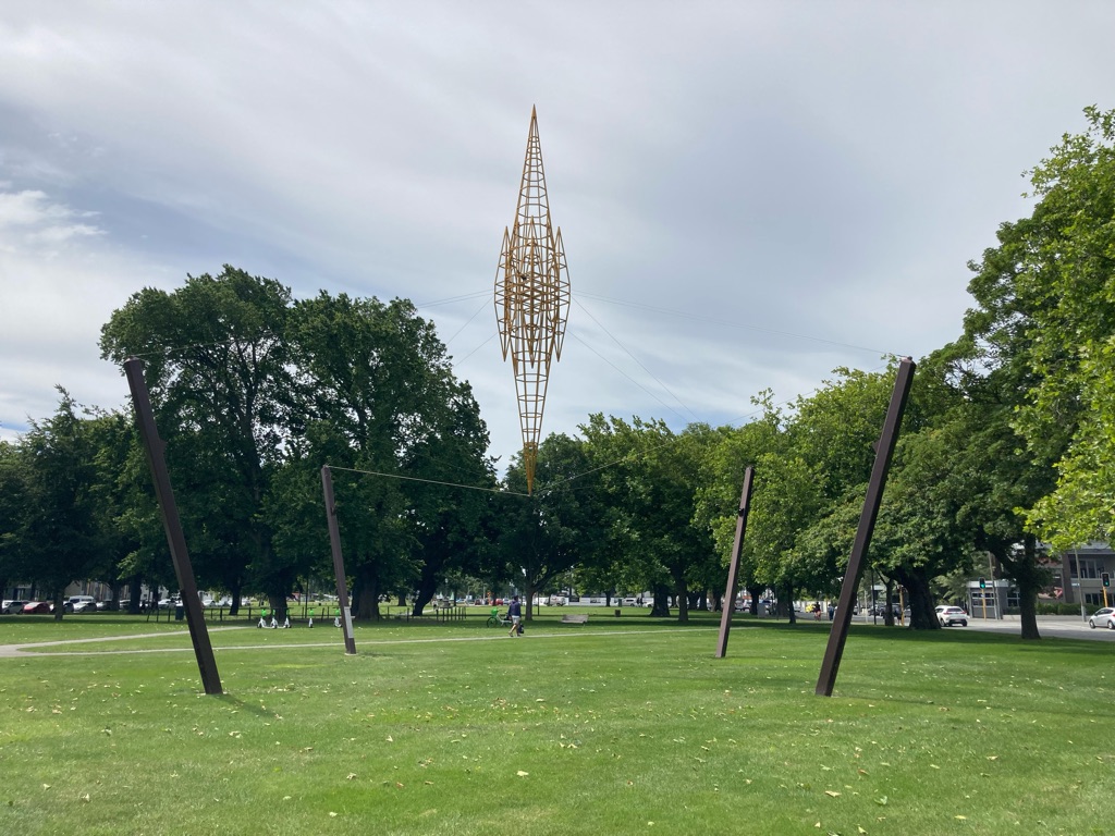
Sculpture in nearby Latimer Square. I like that it almost looks like it is floating mid-air!

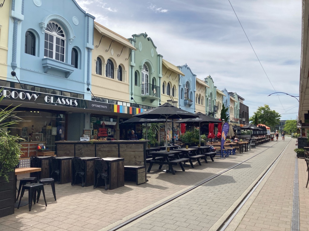
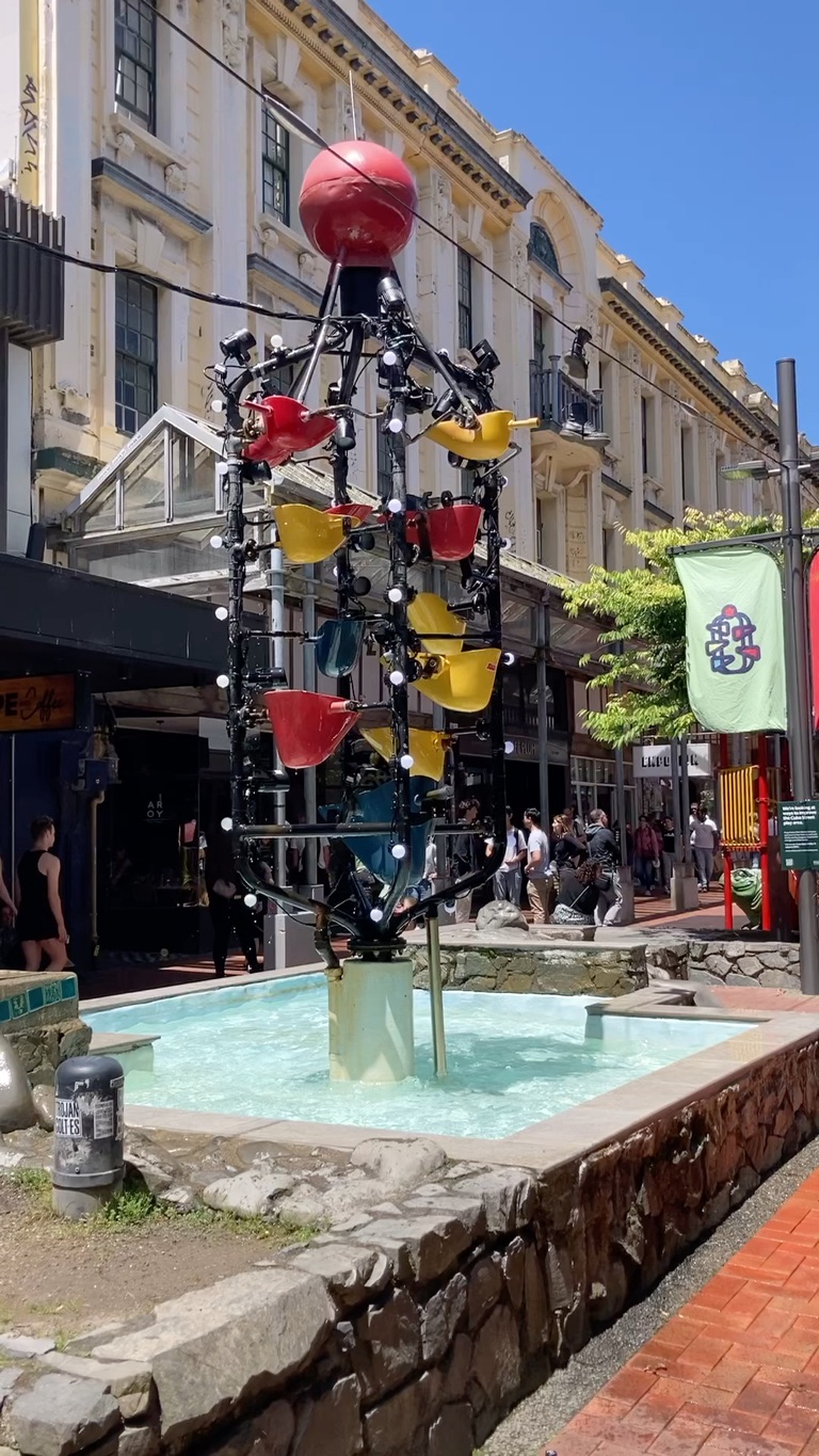
New Regent Street, reportedly very popular with tourists…

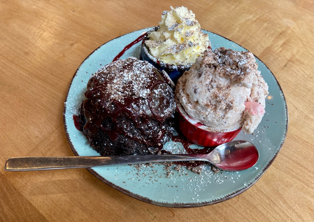
I got some ‘lunch’ from a cafe on New Regent street. According to my phone I walked 20km during the day, so a chocolate pudding with ice cream was probably (maybe…) reasonable despite not having started riding yet! I tried walking round with my cycle computer/GPS to see the distance I covered during the day, but it kept ‘autopausing’ as I didn’t walk fast enough and confused it. At least it detected the satellites OK, and the open streetmap mapping that I had hurriedly downloaded onto it back in the UK for the trip worked…it’s going to be important for cycling!

My lunch…

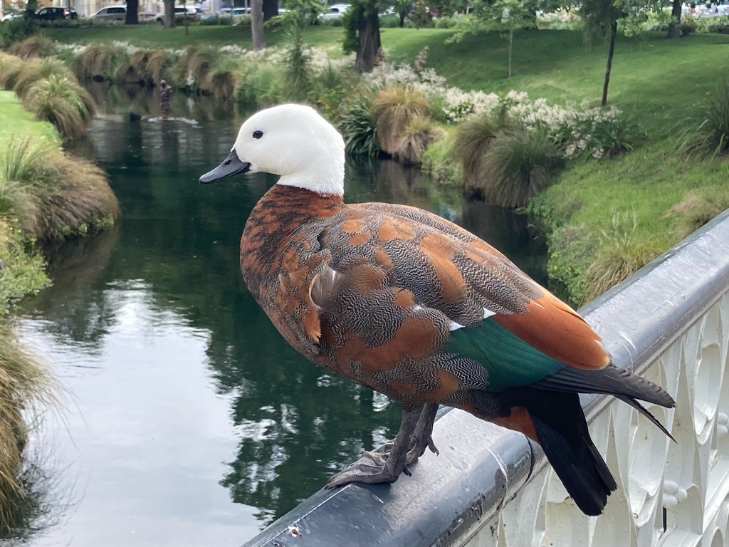
After lunch I walked back toward the centre of town. I saw a female ‘Paradise shelduck’ / putangitangi (Māori name) on a bridge over the river Avon. It was surprisingly tame and didn’t seem fussed by me getting close to take photos of it. In the river behind you can see an Antony Gormley sculpture. There are a lot of public art displays in Christchuch, many part of an effort called SCAPE, which has an app that gives their locations and backgrounds.

Paradise shelduck

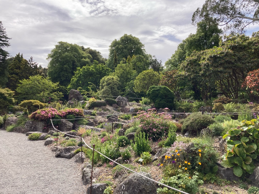
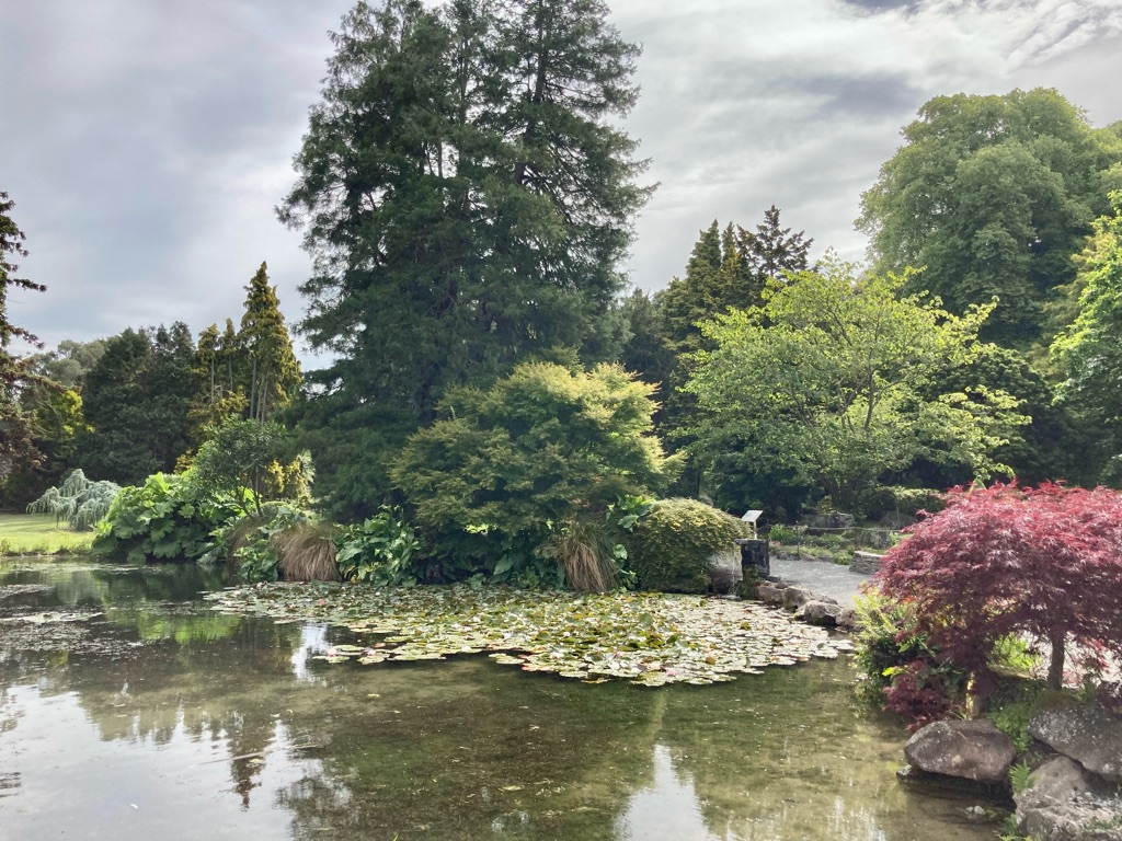
I eventually wandered back to the Botanical Gardens, to have a proper look. The visitor centre was closed for some sort of event, \240but it didn’t really matter. The gardens were excellent to look and walk around, with some nice water and rock features, and interesting display boards with information about the plants and trees. In a lot of cases the gardeners deliberately used species that were at the edge of their ‘comfort’ zone in terms of climate/conditions so that they didn’t escape and become invasive species.

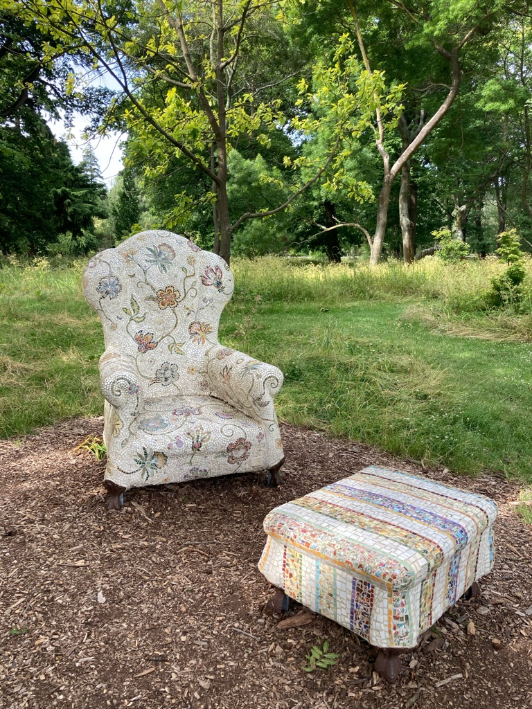
A chair made by covering concrete cast with china crockery that had been smashed in the 2011 earthquake. Lots of these were family heirlooms with memories for people, so this seemed like a nice way to preserve them.

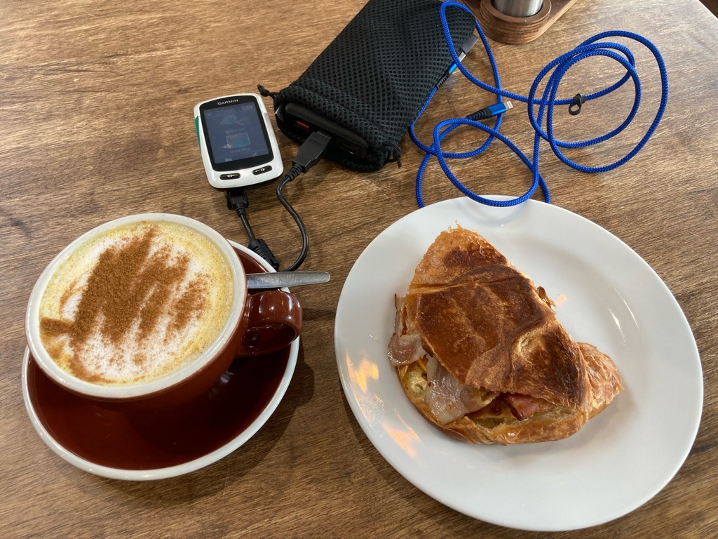
I went to Two Thumb brewery at the end of the day, making up for my abortive trip the day before. I sat in the corner and wrote some of the blog. I used the portable ‘power brick’ \240battery to recharge my phone whilst I wrote. It used 12% of its reserves to fully charge up my phone - useful to know for when I’ll be away from power later in the trip.

Two Thumbs had a beer and burger deal for $25, a bargain compared to the meal I had the night before, and much better tasting. A pint (I presume) of ‘Haze There Delilah’ at 6.6% was plenty for me (not sure I could blame the light headedness on lingering jet lag…)…

5
Christchurch Gondola

Christchurch day two

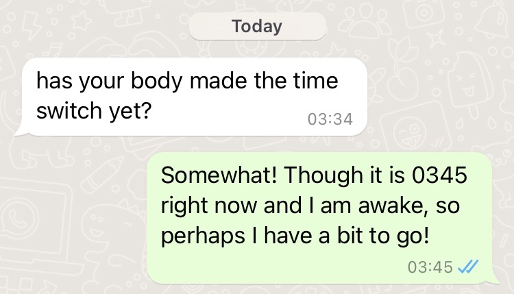
Alas, my jet lag solution appears not to have been as effective as I hoped. I woke up at 3:30 and couldn’t get back to sleep... This predicament was probably not helped by checking my phone, admittedly responding to an appropriate message…!

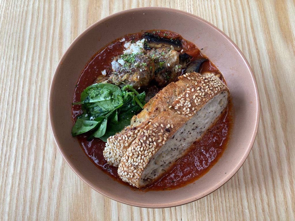
I eventually got up at 7 and walked down to Child Sister cafe for breakfast when it opened at 8, and got some shakshuka, somewhat unconventionally (?) made without eggs, but including pork and beef meatballs.

I spent an hour or so sitting in the cafe trying to plan some of the ride. Given the fact that some of the ferries over the Cook Straight to get to the North Island were already fully booked, I felt I needed to figure out when I’d likely need tickets and book them so that I had something. I’d prefer to just wing it, and turn up on the day, but yesterday’s research made it clear that was a risky option! To figure out what date to book, \240I have to try to figure out a route over the Sourhern Alps, and up to Picton where the ferry departs from. A tricky task, given I have no idea what the bike will be be like, or how many hills there will be. Is 80 miles a day reasonable? We shall see! In the process I discover that the main (only?) road from Nelson to Picton is closed, undergoing 7 weeks of repairs to storm damage, which throws a spanner in the works…

I decide to mull over my ferry plan for a bit before committing. I’ve decided to visit the Christchuch Gondola today, which is located about 5 or 6 miles out of town. There’s a bus to the site, but I decide to walk…I haven’t got many plans for the day, so that will use some time up! The walk is mainly through the suburbs, but there are still some interesting sites to see:-

Another STAY art installation, ‘Passing Time’:-

I presume this ‘vineyard church’ is all over the whole ‘water into wine’ thing….

No idea…

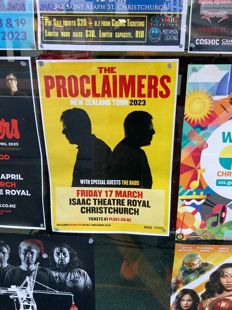
I think The Proclaimers may need to travel considerably more than 500 miles to conduct this gig…

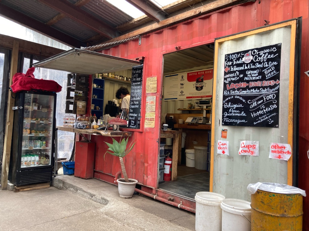
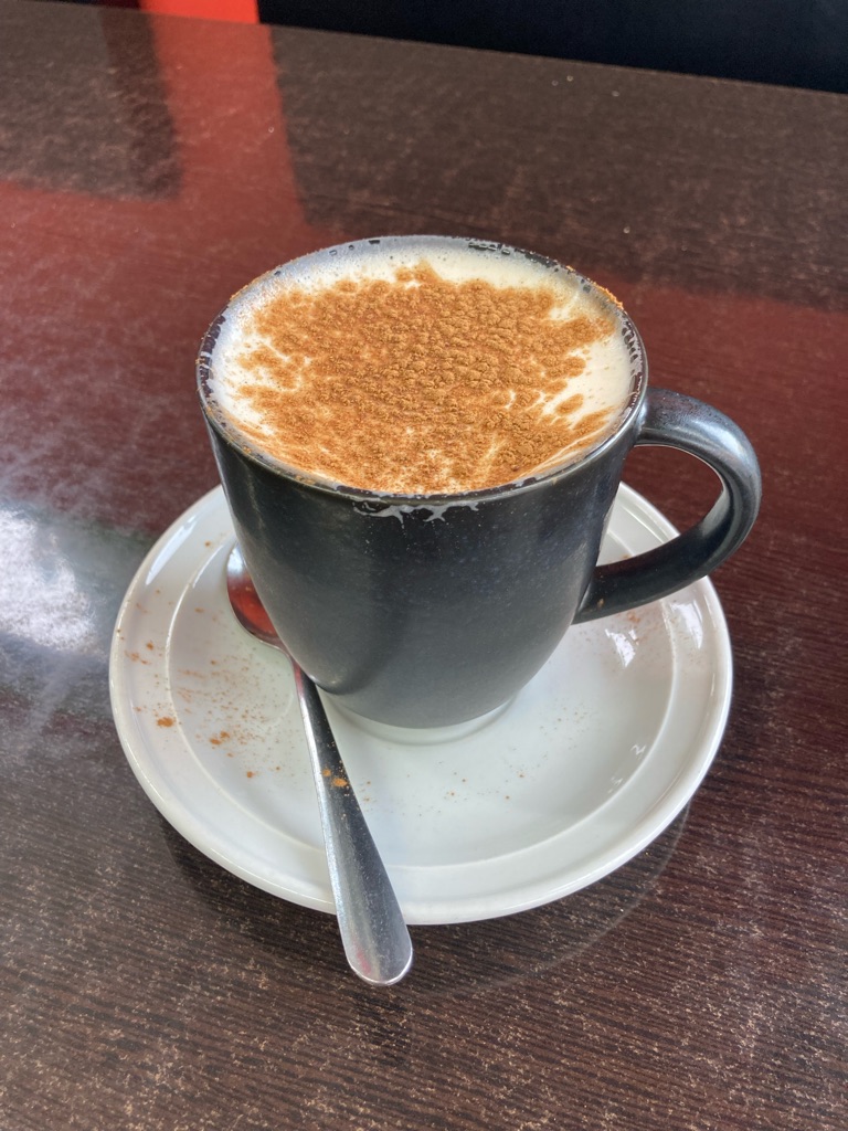
A mile short of the gondola, a few spots of rain started to fall, and began to get heavier and heavier. Conveniently, I was passing the ‘Upshot Cafe’, providing a good excuse to check it out whilst sheltering from the rain! I’m not a coffee connoisseur, but it seemed excellent to me. I decided that buying some of their beans as gifts would be a good idea. In retrospect, I am not sure how well ground coffee in paper bags will keep for the 4 or 5 weeks until I get back to the UK, but it seemed like a good idea at the time. It certainly made my bag smell nice for the rest of day!

Upshot cafe

Eventually it stopped raining, and I got to the gondola base at about midday. It was still pretty overcast, perhaps not optimal for views, but what can you do! I’d seen lots of flyers/adverts to book in advance, but I just turned up and paid without any problems.

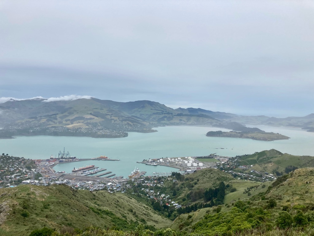
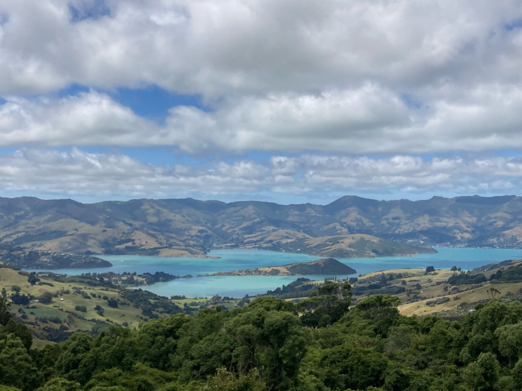
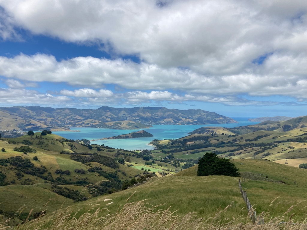
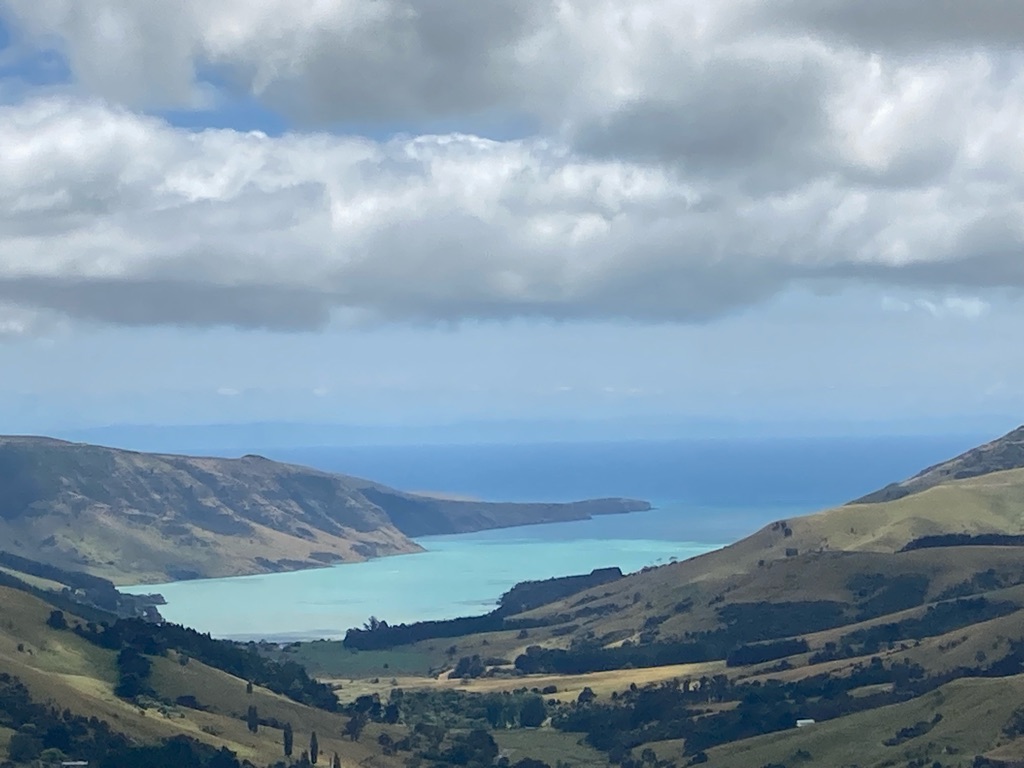
At the top of the cable route, there was a cafe with viewing platforms. It was surprisingly reasonably priced, in addition to having great views on all sides. There was an extenal walkway that was very windswept, and it was still a little rainy. I spent some time inside, reading about Captain Cook’s ‘exploits’ discovering the Banks Peninsula (though he mistakenly thought it was an island), and luckily the clouds cleared a bit which allowed me to get some OK photographs. Apparently both Scott and Shackleton spent time in nearby Lyttleton Harbour before their unfortunate trips to the Antarctic…hopefully not an omen for my trip!

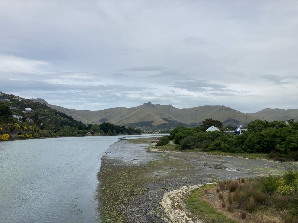
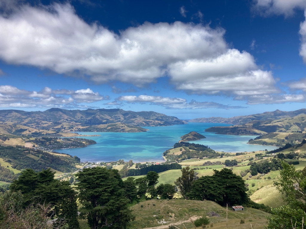
View to the South of Lyttleton harbour, including Quail island:

Lyttleton Harbour

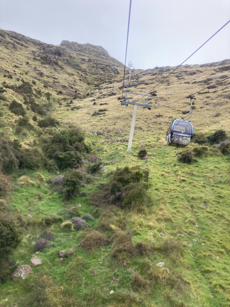
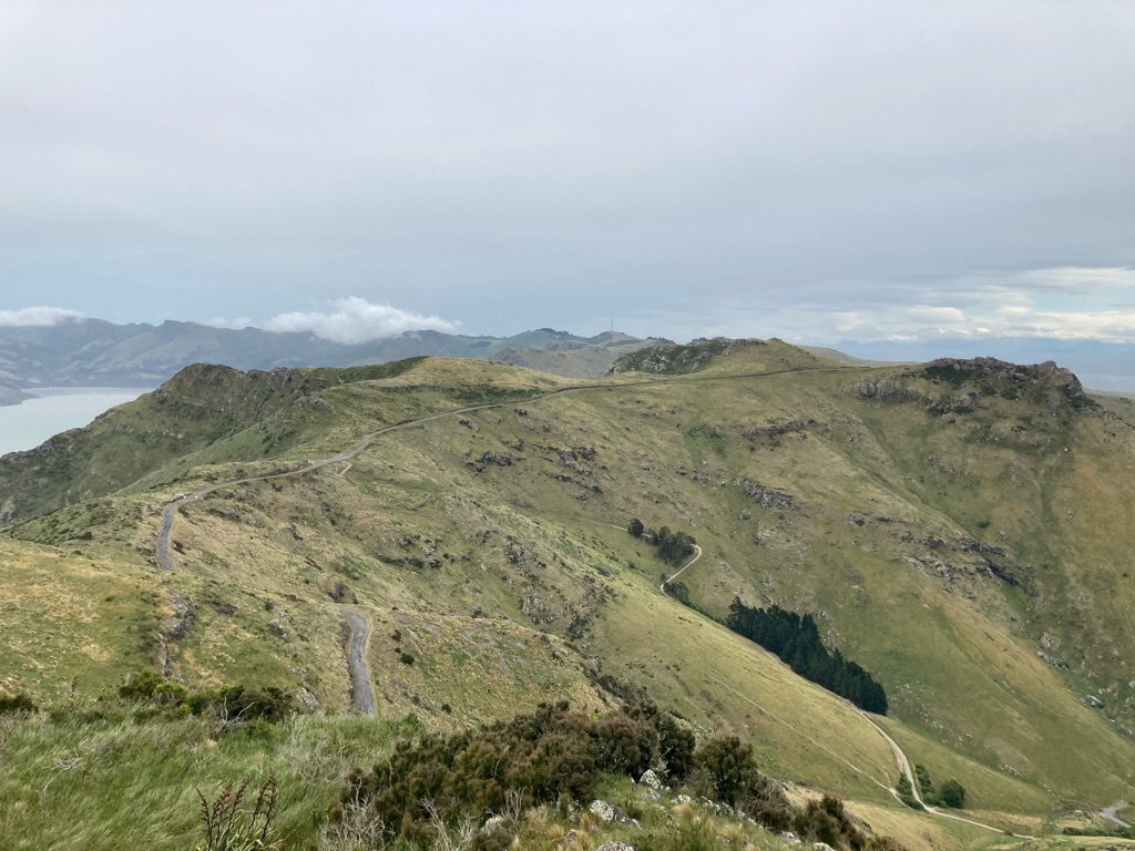
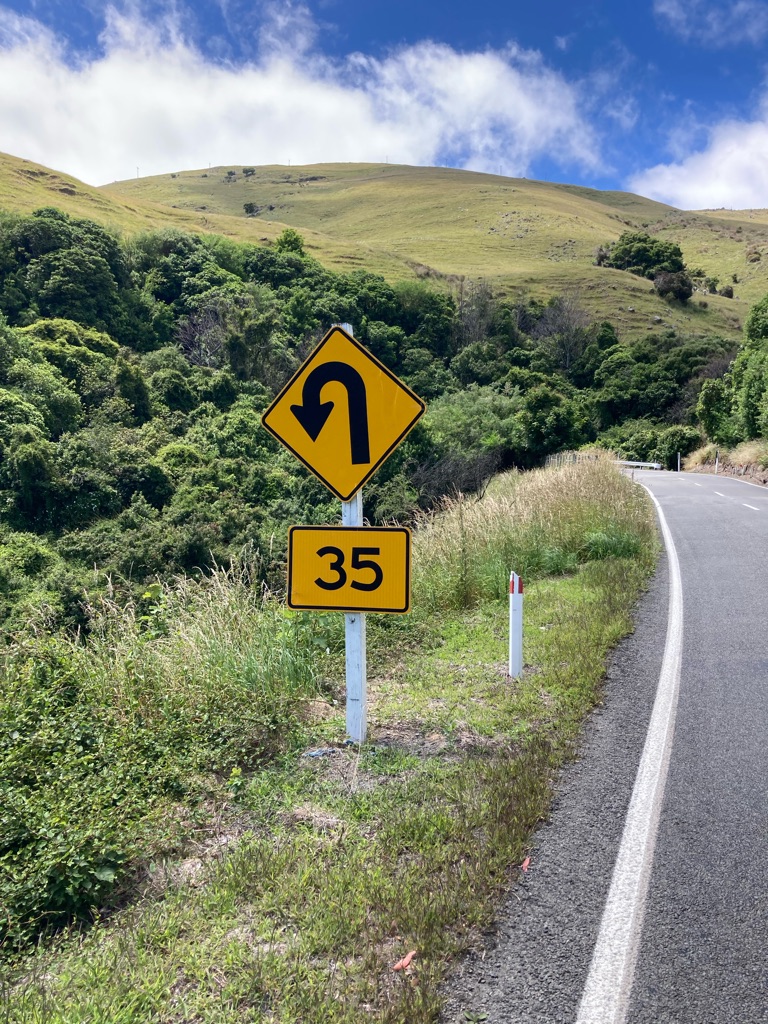
View to the South West from the gondola cade.I think the hill with the tower/mast is called ‘Sugar Loaf’. The big rocky outcrop is called ‘Castle’. I thought the road looked like a good bike ride, all those bends!

View over Christchurch from the top:-

It was quite a windy day, and the gondola rocked a fair bit on the way down. Just as well it wasn’t like that on the way up, or I might have felt the need to walk down instead!

It was only early in the afternoon, but I’d run out of things to do for the day, so I decided to walk over to New Brighton. The hostel staff had told me the beach there was impressive, and that there was a pier. It was about 7 miles away, so that’d use some time (and energy). Yes, I’m bad at touristing (or ‘torturing’ as iPhone autocorrect suggests…). Apple Maps suggested walking route that went through a nature reserve, which was nice, and past a sewage works, which was not…

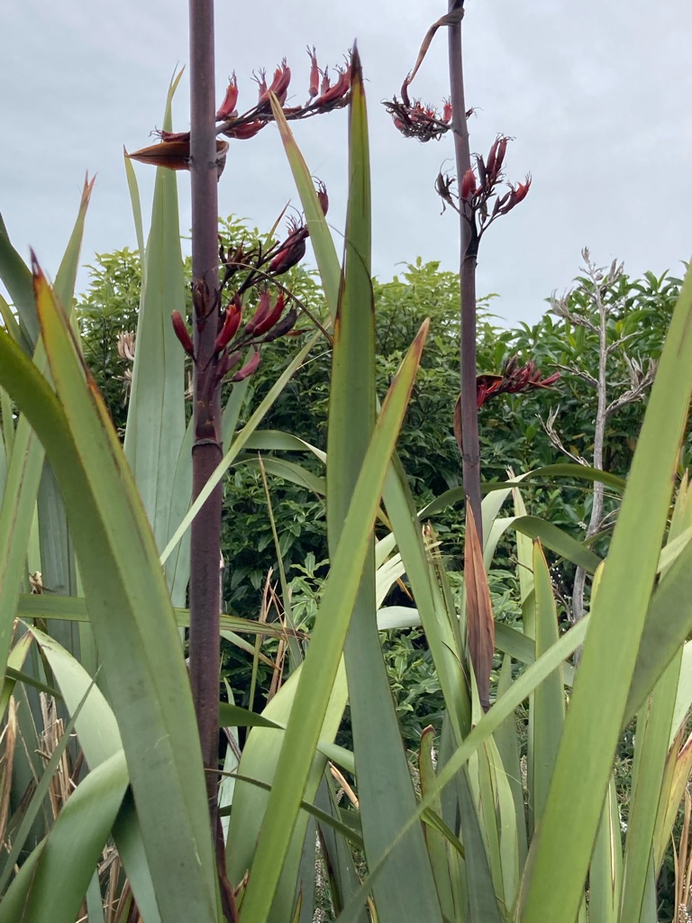
The nature reserve had some information boards about plants. This one is Harakeke, aka New Zealand Flax, used by Māori for making flax:-

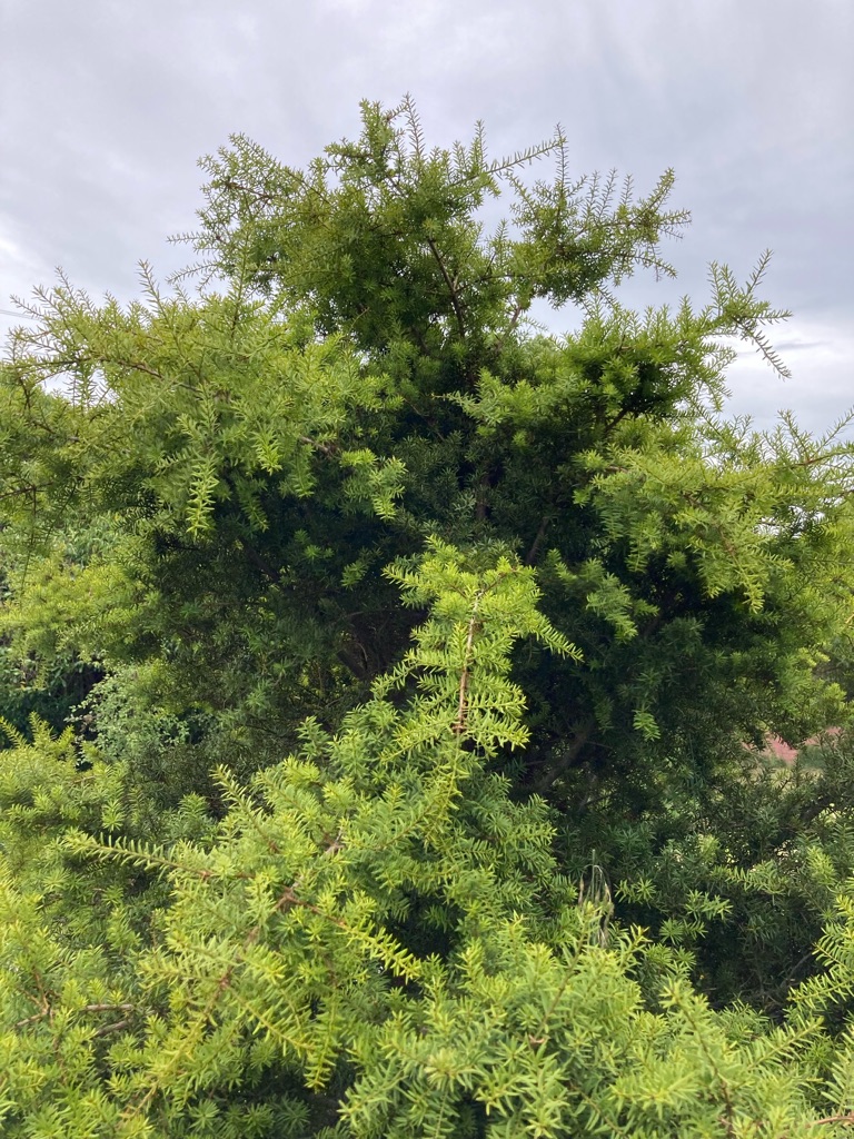
Totara, which provides wood that is used for many Māori wood carvings, as well as for building houses and fences due to its durability:-

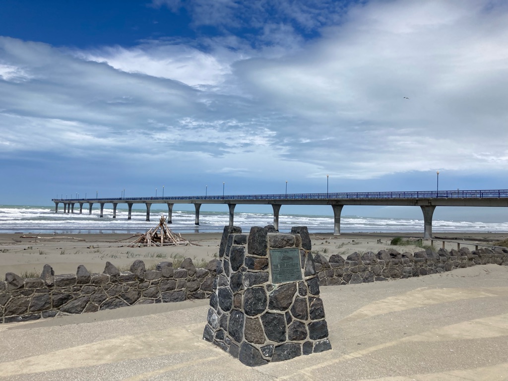
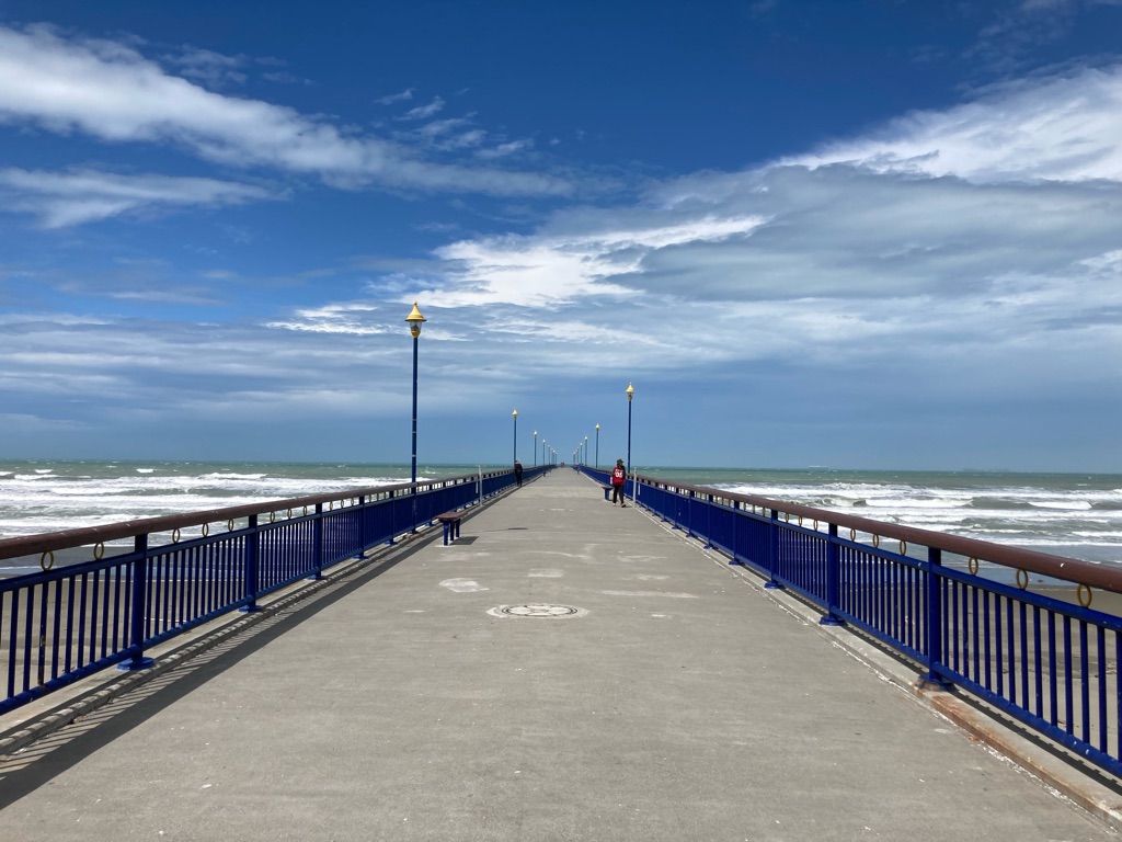
I finally got to New Brighton at about 1530. I also booked my ferry trip during the walk. Technology eh, where would I be without my phone. Hopefully it’ll survive the trip unscathed! By the time I got to the pier, the sun had come out, though it was still very windy, especially on the seafront.

New Brighton Pier

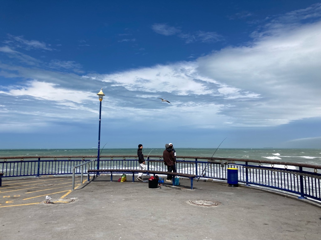
I wonder if this is the furthest East I have been? (I’ve been to San Francisco on the other side of the Pacific, but that’s on the other side of the Ocean so surely counts as West from the UK…and it is ‘behind’ GMT unlike New Zealand which is 13 hours ahead). There were quite a few people fishing on the end of the pier. I think the yellow hatched area on the concrete was to stop people fishing there in high winds!

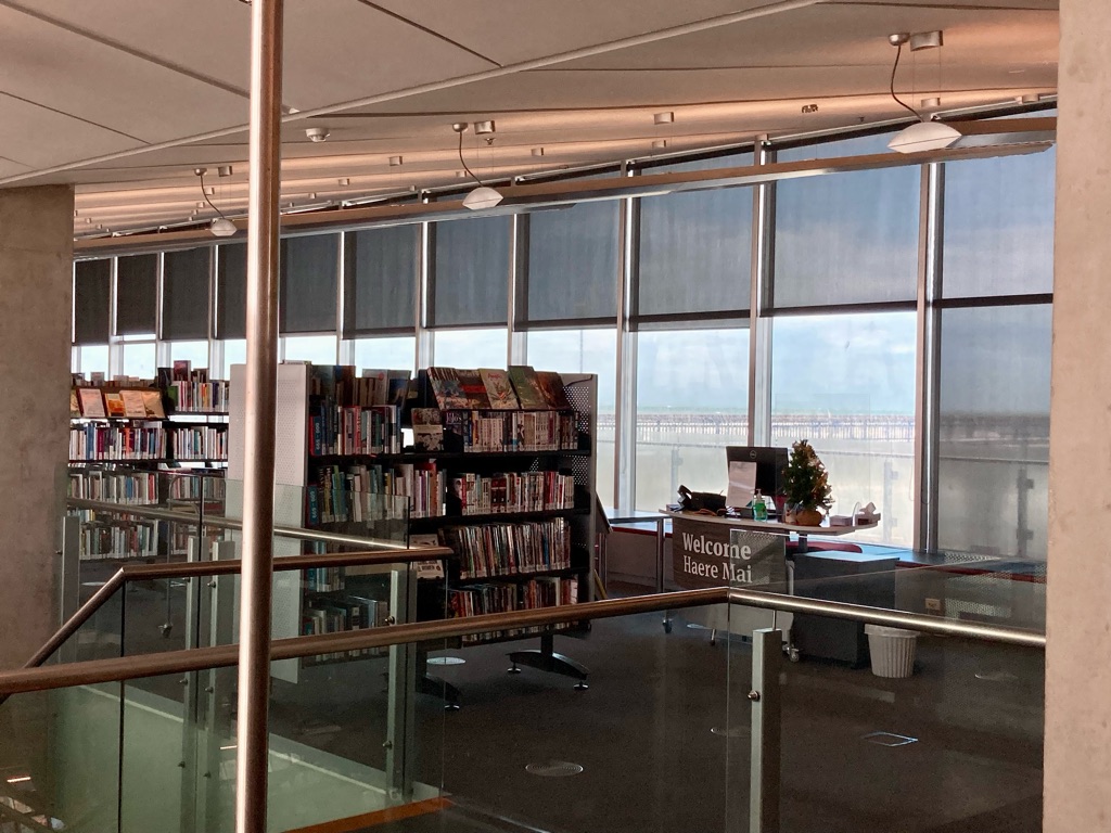
The pier building housed a cafe and a library. Pretty excellent views to contemplate books over!

New Brighton had a ‘Countdown’ supermarket, so I took the opportunity to buy some supplies for the ride - a bit of a fine line between being palatable (and portable) enough, but not that interesting I really want to eat it. I got some noodles, trail mix and cereal bars. I’m hoping/planning to buy interesting food as I go, but I’ve no idea how frequent shops are going to be on my route. I also buy some edible souvenirs and gifts for people to take home - I’ll leave them with my kit at the bike store whilst I’m riding, so won’t need to carry them with me on the ride. Cans of NZ beer looked like great gift options, but I got ID’d at the checkout, and they wouldn’t accept my UK driving licence! I suppose I should be pleased as I’m much closer to 40 than 30 now…

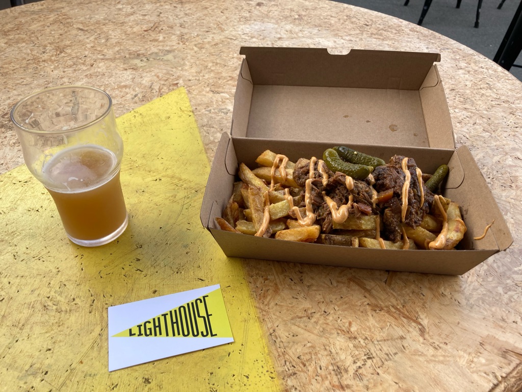
I decided to get the bus back from New Brighton to Christchurch. It was probably only 5 miles to walk to the hostel, but I wanted to have time to prepare my kit for the ride the next day. Once I’d finished organising things in my room, I headed over to the ‘Lighthouse Brewery’, which happened to be quite close to ‘Japanz bakery’ I’d visited the day before. It look me 45 minutes or so to walk the mile or two there. They had a fish and chip van, though somehow I managed to get beef brisket and chips instead. Lots of gravy. A but of an odd accompaniment to a Mango IPA, but I bravely survived. Lighthouse’s NZ Pale Ale was great too. Fortunately no ID issues for me here!

I walked back via Christchurch Cathedral and New Regents Street to see them again. It’s weird looking at places you’ll probably never see again.

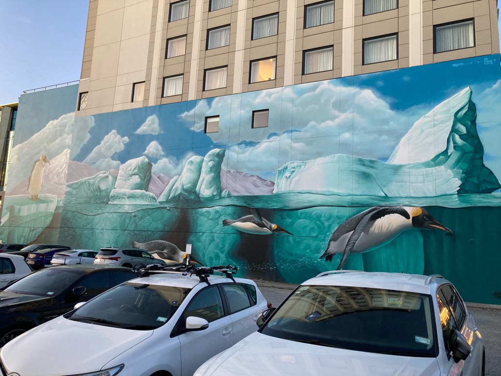
Mural opposite the cathedral - almost looks like the penguins are jumping onto the cars!

According to the iPhone fitness app, the walk back from the Lighthouse brewery to the hostel made my total distance for the day 19 miles. Not too bad! I was in bed by 2145…ready for the big day tomorrow, to pick the bike up from Natural High Adventure Biking, and hopefully start the trip properly and get riding!

6
Springfield

Kia Ora bike!

I woke up at 4am. Oh well! I’d probably still had 6 hours of sleep, and perhaps I got a bit more before giving up and getting out of bed at 6am. I wondered when I’d next sleep in a \240proper bed, or have a decent shower! I’m not sure what the next few days will hold, but one thing I’m certain of is that I will be camping a fair bit. Fingers crossed for good weather…

Checkout from the hotel was by 10, and I’d said I’d get to Natural High, the bike hire shop, by 11. I wanted to organise my kit as much as possible at the hostel, so I took things fairly easily. It was a little chaotic though, as I seemingly unpacked and repacked ever single item, and made sure I hadn’t lost anything. I still had a few decisions to make - whether I’d need a solar battery charger as well as a battery pack whether I’d need an extra base layer, how many pairs of socks, and so on. Everything is useful, but the weight and volume adds up!!

The day before I’d resigned to getting a taxi to Natural High from the hostel, as it was 5 or 6 miles away, which was not a great prospect carrying the awkward hold-all. However, in the process of checking the address on Apple Maps, I realised there was a bus route that almost went the whole way there. $2.10 for the bus was far more preferable than $50+ for a taxi! I checked out at 9, and the next bus was due at 9.46, with the stop only a few hundred meters away. Carrying my ridiculously awkward hold-all there felt somewhat like a CrossFit workout, except that I was more strangely dressed (cycling Lycra…) and there was no one to high-5 me at the end (no bad thing if you ask me ;) ). \240I carried the bag in each arm for 50m before swapping it round, and was very glad to have to wait at all of the road crossings!

The bus arrived after 20 minutes. Watching the route go by as it took me up to Harewood Road, I was very glad I hadn’t tried to walk the whole way there! The bus got to within about 3/4 of a mile from Natural High. It was going to be a bit of a slog to walk the last part, but there was a cafe half way so I thought I’d break up the tiny journey up with breakfast, as I hadn’t had a chance to eat anything yet. I had manhandled the bag about 100m along the road when a car pulled up and offered me a lift! Clearly I was making it look difficult enough to look like I was in need of assistance! In true British fashion I politely declined, but they insisted…5 minutes later I was getting out of the car at the bike store! I certainly wouldn’t expect that at all in the UK…everyone I’ve met in New Zealand has been kind and helpful, exemplified by these people!

I got to Natural High dead on 10 am. I was greeted by Steve. We had a chat about my route plans, and he gave me some helpful tips and route ideas. I also bought a few bits of kit - some New Zealand cycling gloves, and some bike oil to look after the chain and gears during the rode.

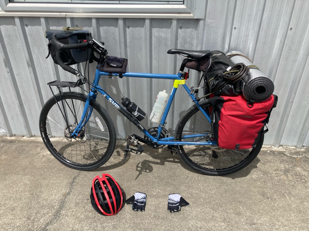
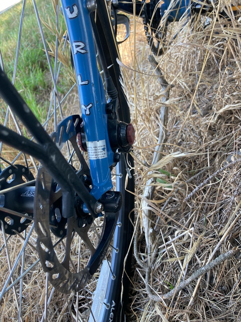
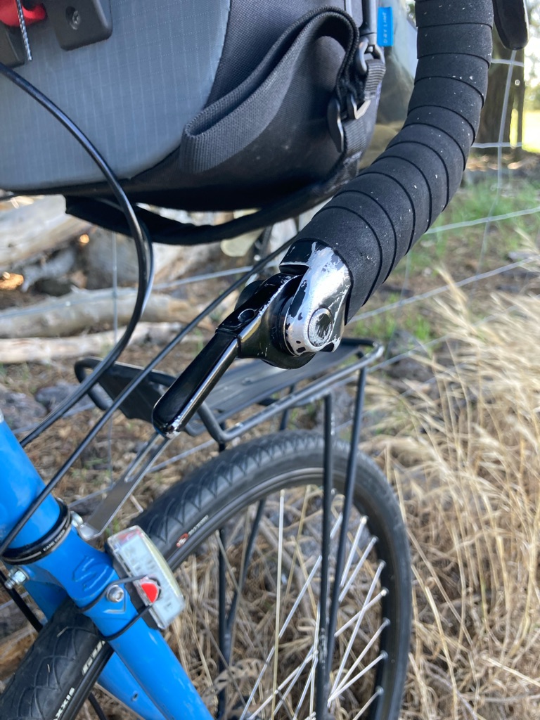
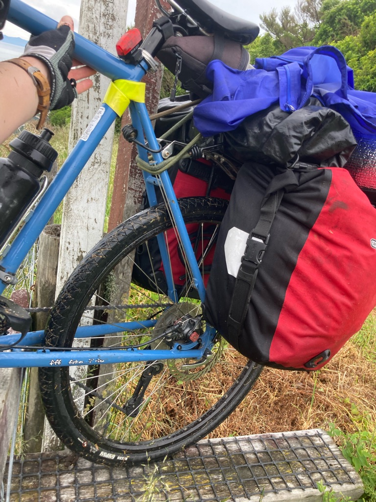
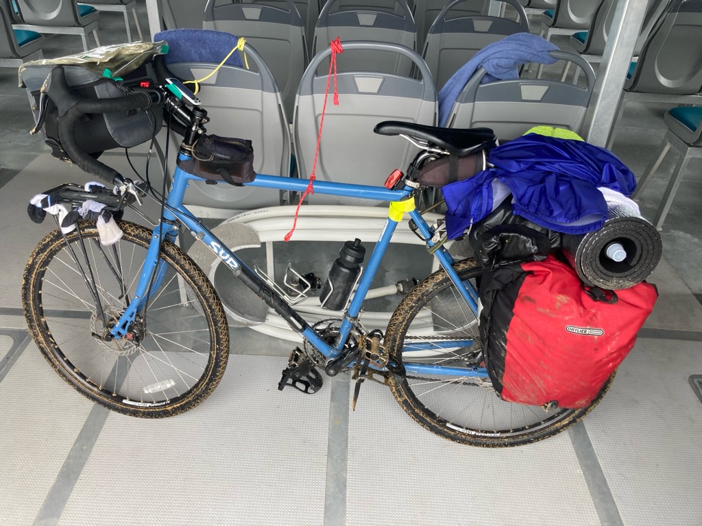
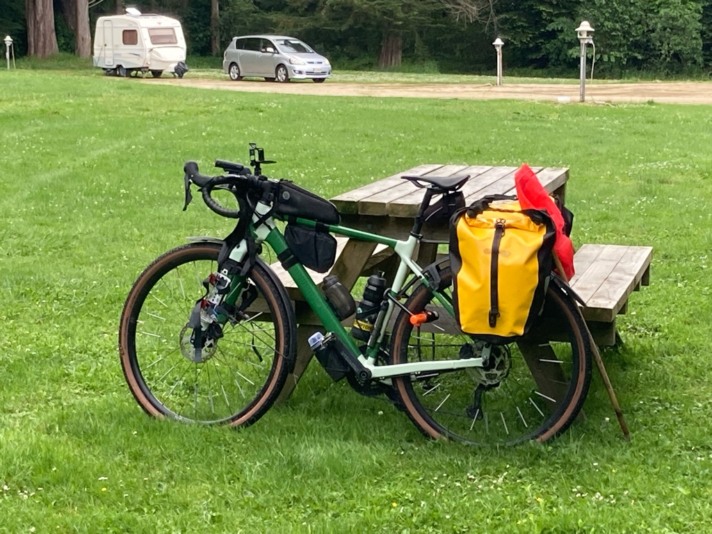
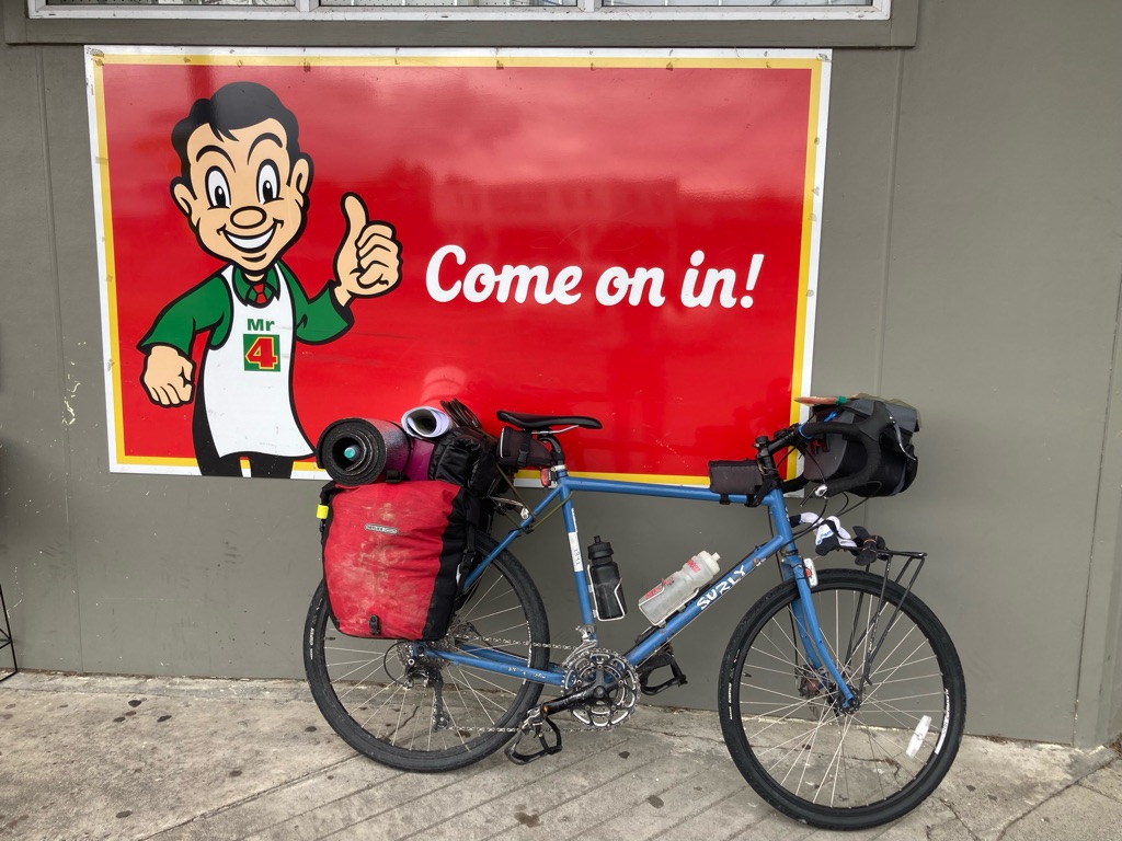
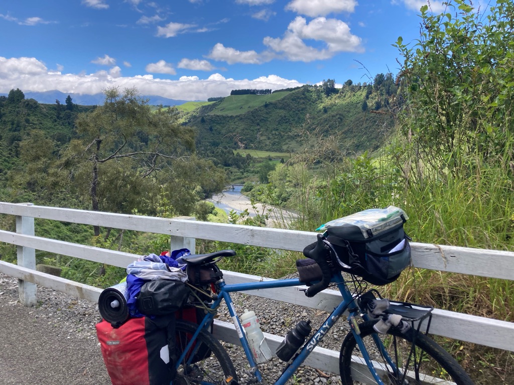
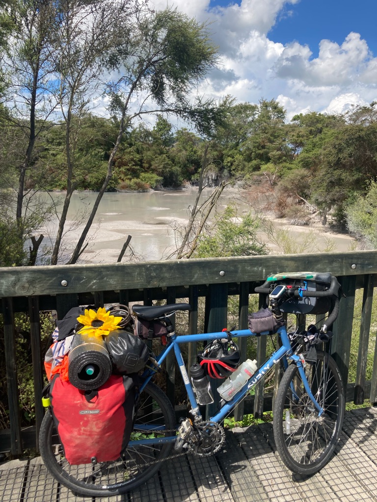
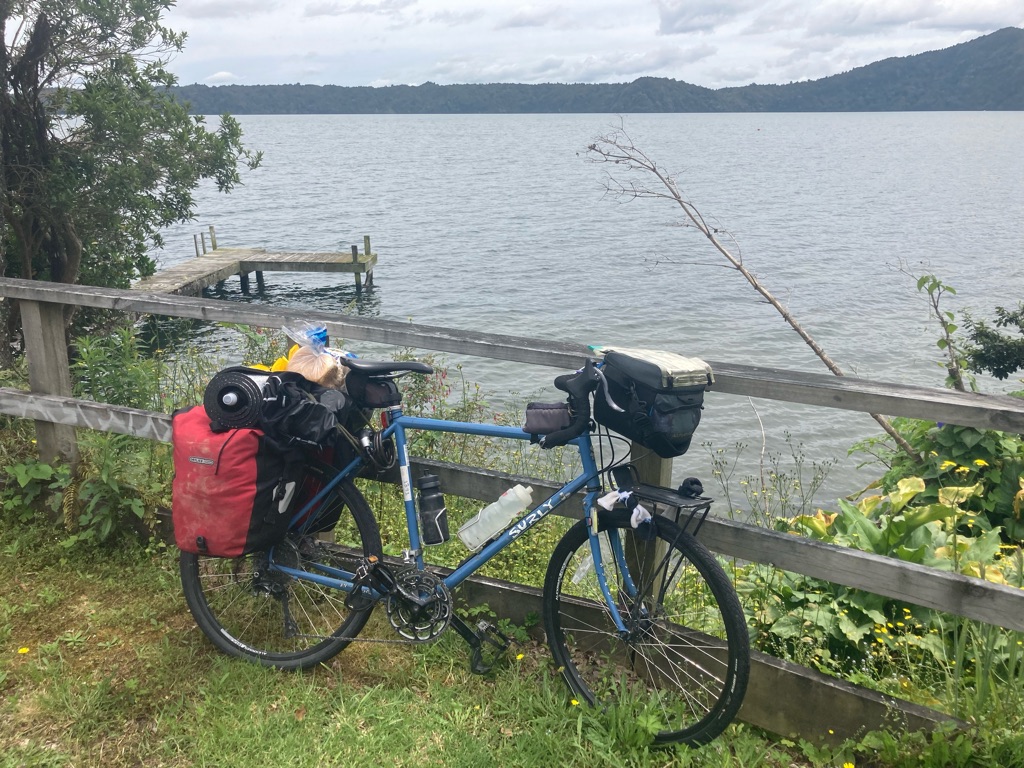
Steve gave me an overview of the bike, a Surly Trucker. These are well known as being rugged touring bikes - I’d almost bought one in the past, in fact. It has disc brakes and bar end shifters, neither of which I’ve used before. Disc brakes are like motorbike brakes and supposed to be better for heavy bikes loaded with kit. Bar end shifters have a simple design, so that they easy to fix if they break in the middle of nowhere (not that I am keen to try this out…)

Disc brake

Bar end shifter

I spent about 90 minutes packing my stuff onto the bike. Midday came and sun was bearing down on me - hopefully not a sign of things to come! I also got pretty hungry as I still hadn’t eaten anything. By 1230 I was ready to go. Steve noticed that the connectors for my handlebar bag were too big - definitely some professional experience enabling him to spot a small thing like that. He lent me some smaller ones, which made a huge difference and will make my life a lot easier over the next few weeks (I had just planned to grin and bear it…)

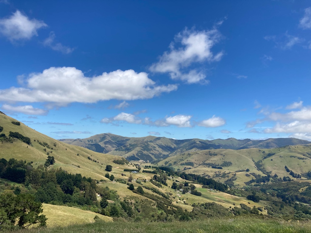
I got on the road at 1240. After a few weeks of stressing over the trip, and all of the planning and travel to get to NZ, it was great to get started! The sun was out, the weather was excellent and I could see the Southern Alps to the West, which I’d be riding over in the coming days. Time to get going!

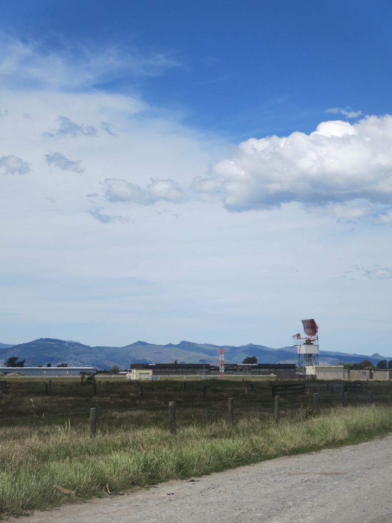
View East across Christchurch airport to Banks Peninsula:-

I had seen there were a couple of cafes 5 miles down the road, so my plan was to head to one of those. It’d be good to have a short ride to get used to the new bike, and also I definitely needed to eat something before trying to ride the 40 or so miles to Springfield, which I’d selected as my destination for the day.

This plan proved harder to complete than I’d expected. The first “cafe”, called Johnny Fresh, turned out to be an organic fruit and vegetable store. The produce looked great, but I definitely needed something with more carbohydrate than what they had to offer!! I rode to the next one, which was situated next to a garden centre and museum, giving me high hopes. Unfortunately this cafe had closed during the pandemic and hadn’t reopened.

There weren’t any cafes on the road I’d be using, but I had to eat something. I had to make do with a service station…eating a sandwich accompanied by petrol fumes on the forecourt wasn’t the auspicious culinary start I’d imagined, but needs must! At least they let me fill my water bottles up. I was a little shy about asking, but something that I need to get over - it’s going to be all about keeping hydrated on this trip!

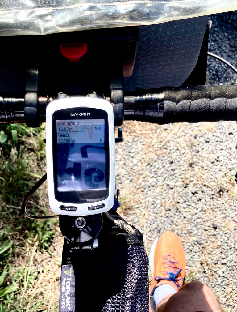
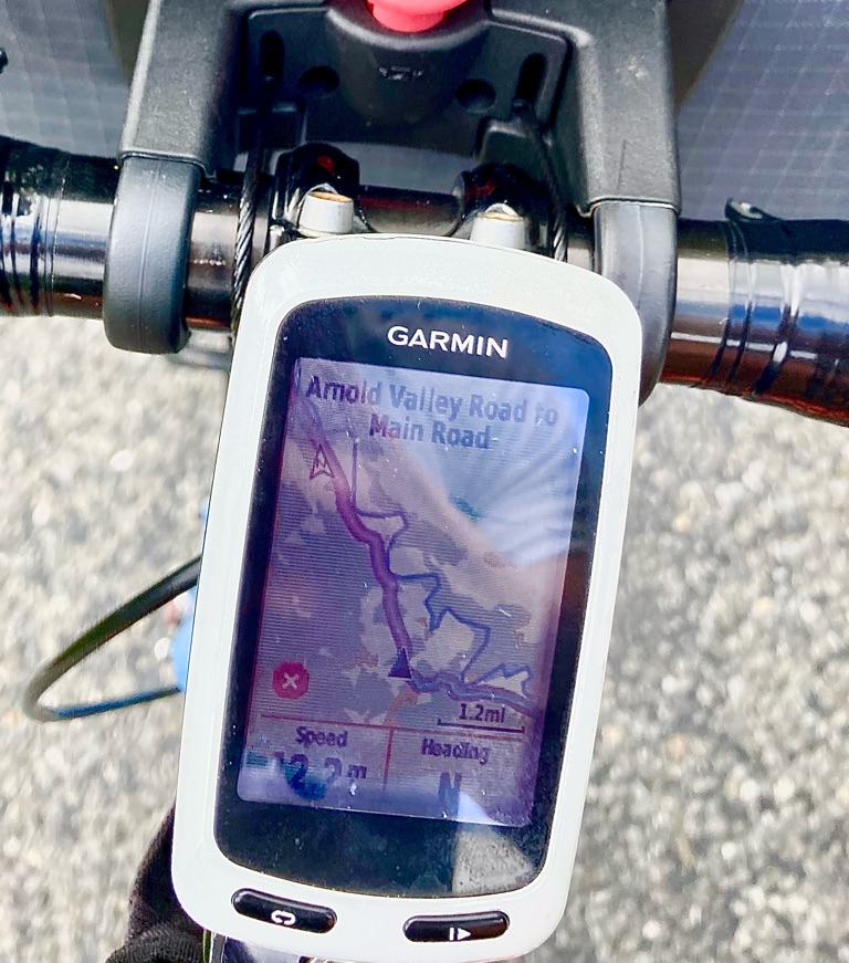
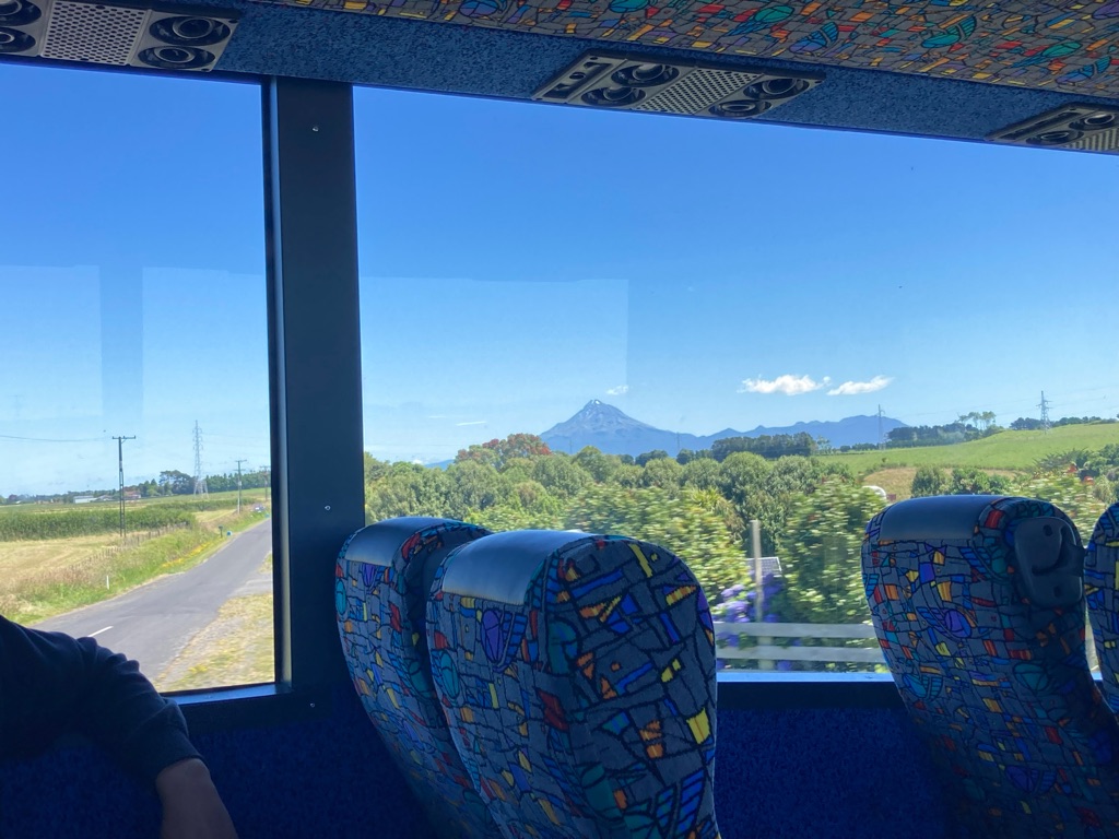
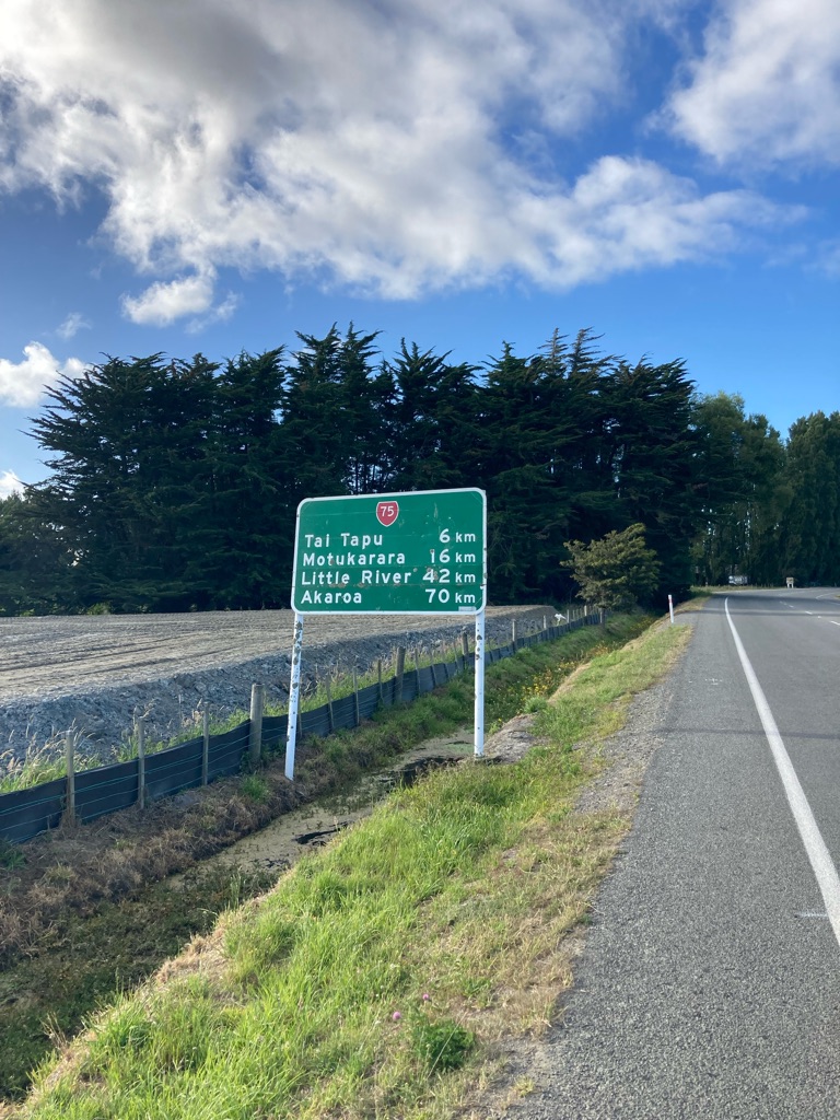
From there, I headed West. Springfield, where I planned to camp overnight, was about 35 miles. (I was amused later in the day to see my GPS show Springfield 14 miles away, and Leeds 11660 miles!). Steve had shown me a road that paralleled the main highway, and would be less busy. It was very straight, with a slight rise most of the way. I found it harder going than I’d expected - there was a bit of a headwind most of the time, and perhaps the bike needed a bit more adjustment to fit me properly. Still, the scenery was great, with the Southern Alps ahead, and gradually getting closer. The road eventually met the TranzAlpine rail route - apparently they will carry bikes on the trains, maybe I missed a trick!

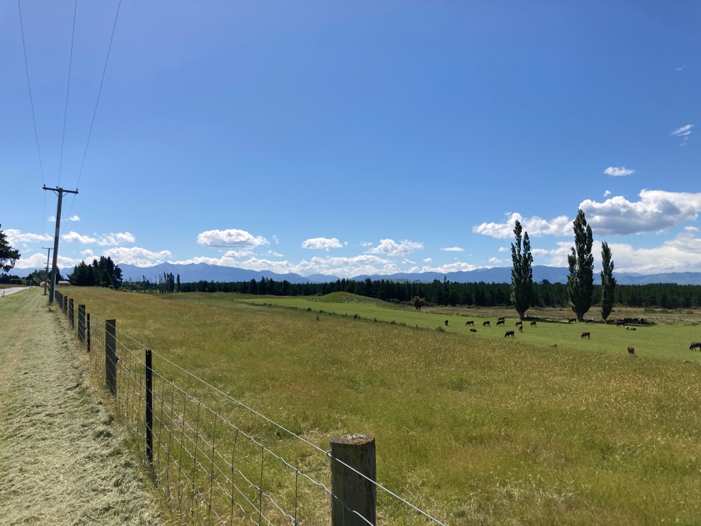
Southern Alps in the distance:-

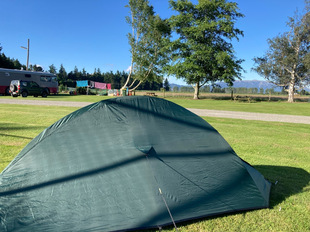
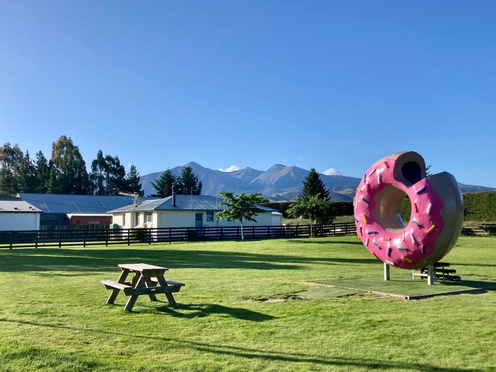
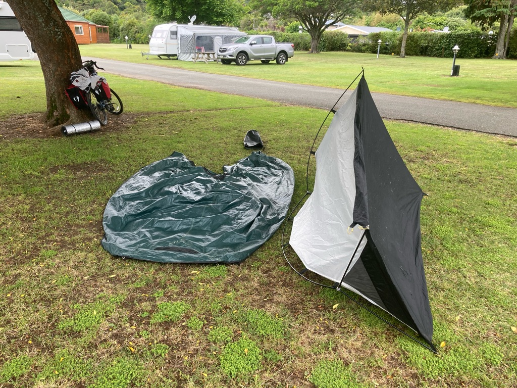
I arrived at Kowai Pass campsite at about 6pm. $11 for one night, very reasonable! Now I had to remember how to put my tent up! I think I did an OK job. The campsite was about 1 km short of Springfield, so I left my kit and rode the unladen bike up to the town. I got a picture of the town’s main photo opportunity, a Simpsons themed giant donut, bright pink and made out of concrete. Apparently the original one had been a victim of arson… A pub was open, and still serving food. By 1930 I had a burger and beer, and my phone and GPS on charge.

The Springfield Donut:-


Distance: 41.7 miles

Ascent: 402 m

7
Jacksons Retreat Alpine Holiday Park

Over the Southern Alps

I woke up at 6.45, listening to birds singing through the tent’s walls. My plan for the route today was to go into the Southern Alps, through Arthur’s Pass (52 miles away) and hopefully get to Jackson’s Retreat (another 20 miles away) to camp there. There would definitely be a lot of climbing on the way, though I didn’t really have much of an idea about the gradients to expect. I’d just have to take it as it came.

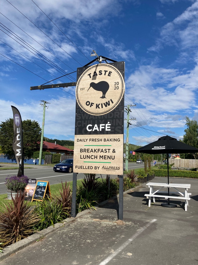
I wasn’t sure if there would be anywhere to stop to get food and water between Springfield and Arthur’s Pass, so I had decided to get breakfast at “The Taste of Kiwi” cafe, which I had seen the night before. It was due to open at 8:30, so I had a fair bit of time to pack up the tent and my kit, and get it all onto the bike. I took the opportunity to charge my phone up too (using a power socket in the campsite’s kitchen), and organised a few things that needed internet - booking a return ferry from Wellington to get back to South Island, and a hostel at the airport for my last night in New Zealand (which seemed an awfully long time away!). I also tried to adjust the bike a bit, as the ride the day before had been a bit uncomfortable…I have a suspicion that the frame might be a little too big for me, but I’ll have to do my best. I drank a whole water bottle and filled it up again - I do not want to waste an opportunity to hydrate!

I got to Taste of Kiwi at 9 (it was a mile or so up the road from the campsite). They had a great selection of food, and the sun was out so I sat outside to eat. I wasn’t sure if there’d be another stop before Arthur’s Pass, so I bought an extra drink and a cake to have on the way.

Breakfast!

I got riding at 0945 or so - later than I’d hoped due to my slow packing. I guess I am out of practice at breaking camp! I made fairly slow progress down the road towards the hills - there was a bit of a headwind, and I kept stopping to take pictures of the scenery!

View on the way out of Springfield:-

Soon the slope of the road began to get much steeper. The bike was pretty uncomfortable at times, and stopped me getting into a rhythm. The seat was very hard, and I had to reach just a little too far forwards to the handlebars. It also felt very heavy - steel frames and disc brakes aren’t known for being light, and it had front pannier racks (made of metal) that I was not using. I started to wonder about whether all of the kit I had with me was strictly necessary…

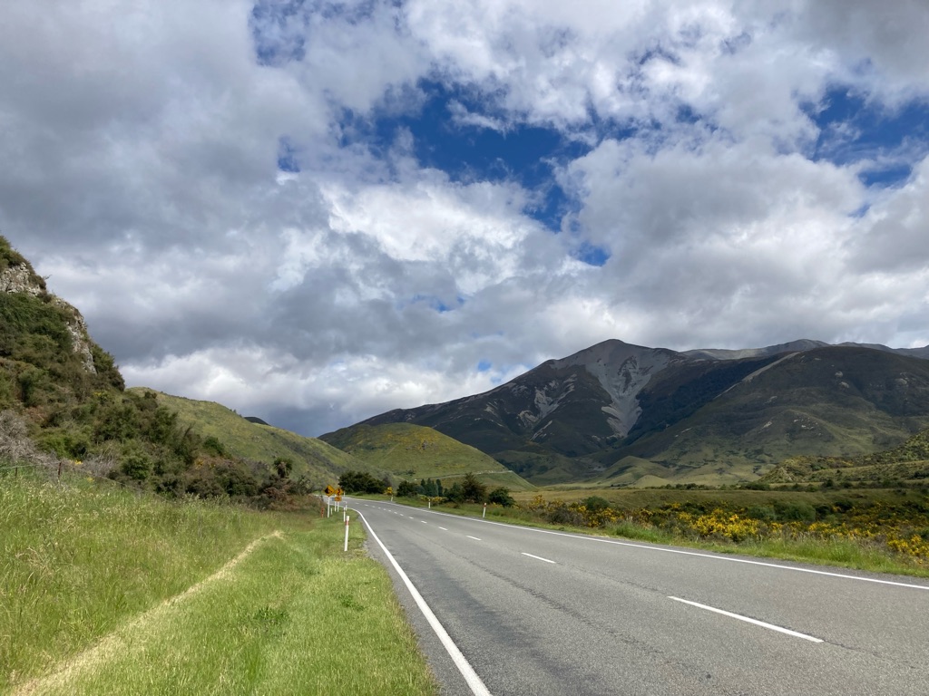
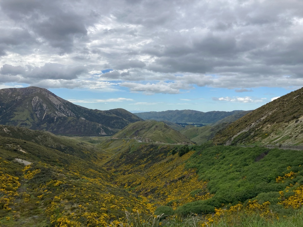
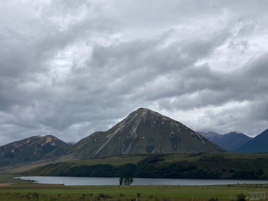
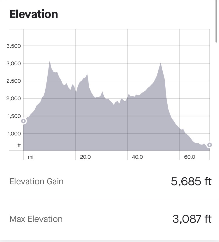
The terrain was stunning to look at, providing much needed distraction. The first main summit was Porters Pass (954m). There were some fairly steep parts, and I ended up standing out of the saddle a fair bit to get some extra force to keep the bike moving.

I got pretty warm on the way up, but after stopping to take some photos at the top and starting the descent, the air rushing by was pretty cooling. The subsequent terrain was pretty undulating, and there was a big headwind. At one point going downhill I noticed that I was going a mere 8 miles per hour, which felt impossibly slow.

View East from top of Porters Pass:-

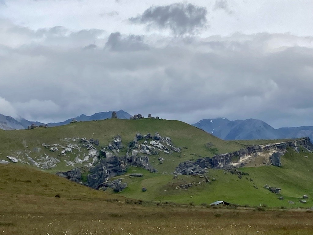
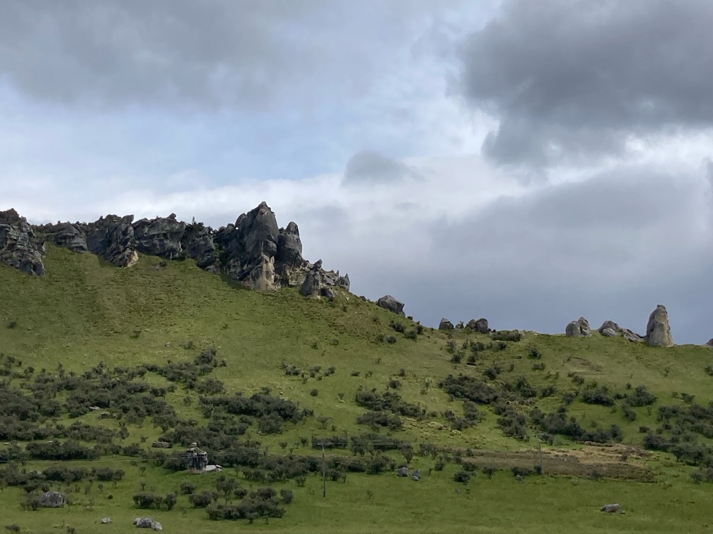
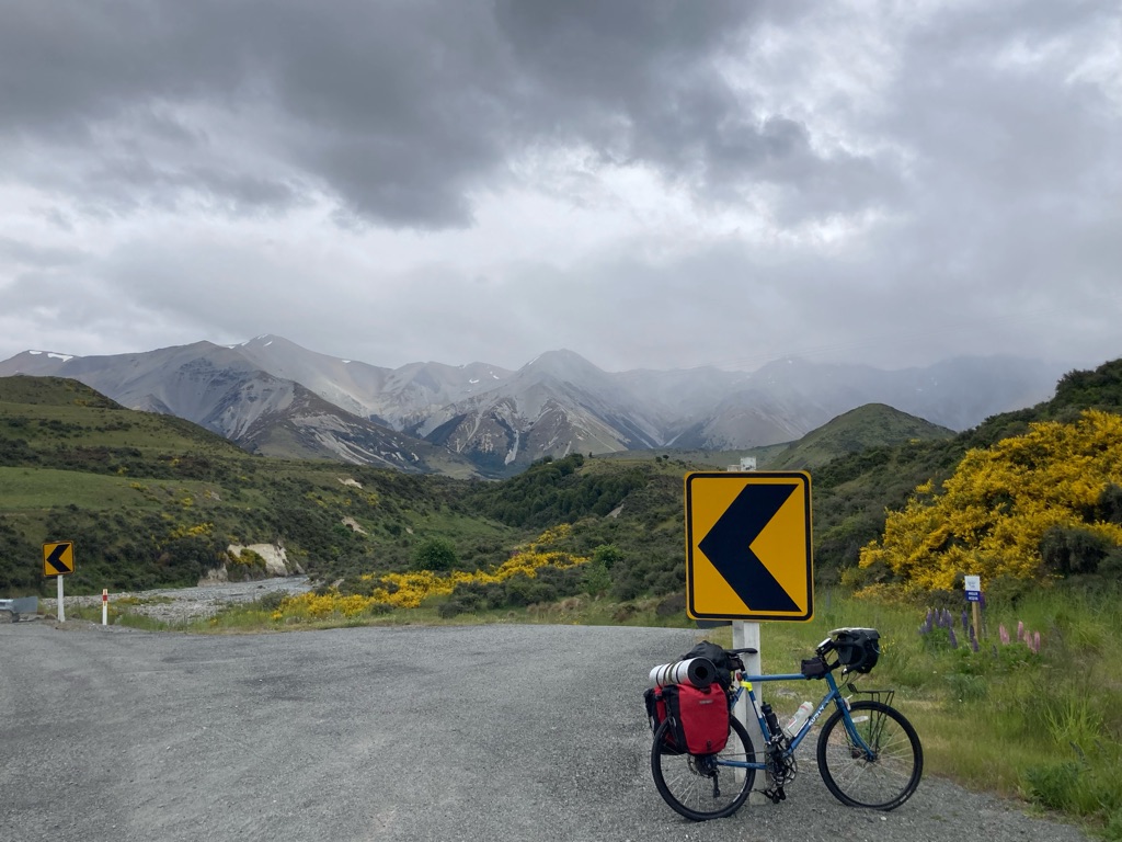
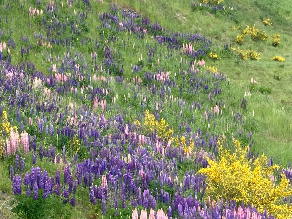
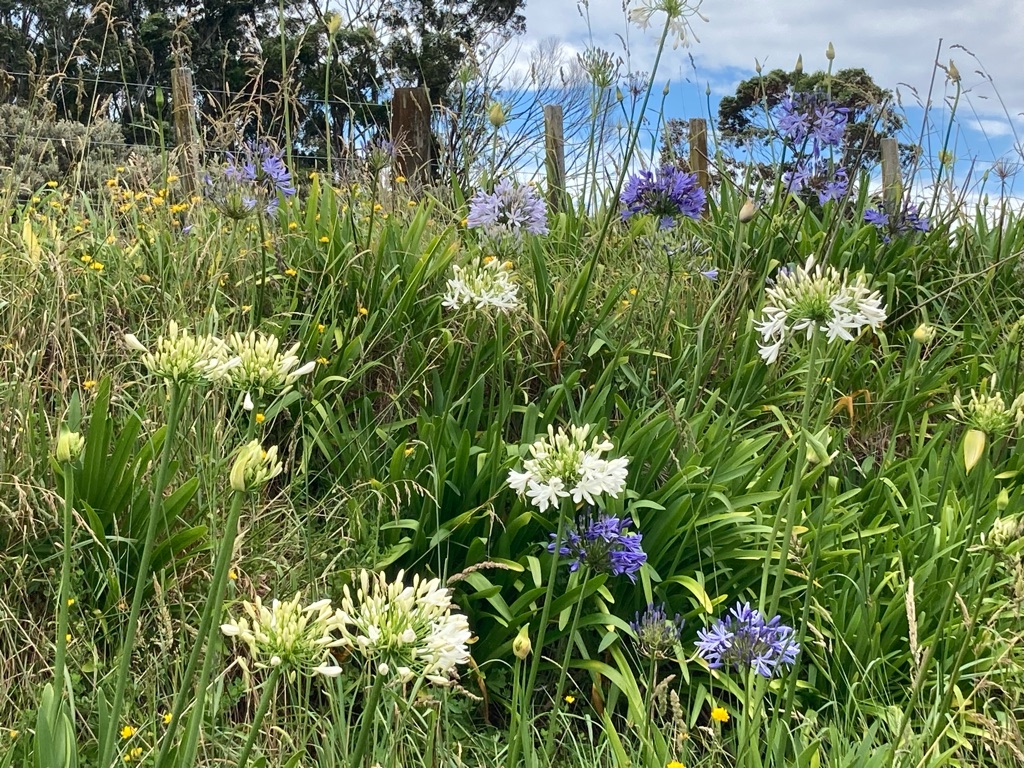
There were a lot of mountains, rock outcrops, rivers, waterfalls and lakes to see. Castle Hill rock formation was particularly notable, with a car park and what appeared to be a walking track to get amongst it. The roadsides sported lots of tall flowers in shades or purple, blue and red, which I later found out were lupins.

Castle Hill:-

Castle Hill:-

I felt like I was going very slowly. It was very hard going, and I needed to eat more food than I’d expected - I’d hoped the cake I’d bought back at Taste of Kiwi would be enough, but I had to start the trail mix I’d bought at Countdown the other day. With the headwind and regular uphills, I began to wonder if it was realistic to get to Jackson’s Retreat. There were also campsites at Arthur’s Pass…


By 1230 clouds had drawn in, and there were drops of rain in the air. I’d already put my warm top on, but needed to stop again to put my waterproof on. The rain got heavier and heavier, but fortunately the waterproof did its job. It even has a hood that I discovered I could wear under my helmet. I thought I might get too hot with a warm top and rain jacket, but this didn’t happen. The temperature must have been pretty low. I also noticed that the bike didn’t have mudguards - all of the water thrown up off the road was hitting my feet, and soon my trainers and socks were completely sodden.

Lupins:

Lupins

Yet more lupins!

I eventually got to Arthur’s Pass at 1550. ‘The Wobbly Kea’ sounded like a good place to eat based on its name, but it was more like a restaurant, so I opted for a different cafe over the road. Keas are mountain parrots and I’d been told that Arthur’s pass was a good place to see them - I was really hoping to spot one, but today did not appear to be my day. The new cafe I’d opted for had some great homemade cakes. I stayed in there for 50 minutes, recovering a bit and enjoying the warmth. My planned campsite was another 20 miles away, and I wasn’t sure that I could manage more hills. I knew that the ground couldn’t keep going up though, because it wasn’t that far to the West Cost and the \240sea! Surely there would have to be some easier riding soon!

Rain and gloom in the Southern Alps

Fortunately, after Arthur’s Pass there was indeed a lot of downhill. Riding the bike was still pretty painful, but the wind and rain had dropped, so my progress was much faster. One section had a sign warning of a 16% gradient - I was very glad to be going down that and not having to climb it. The road followed rivers, and at one point crossed a valley on a huge viaduct. I’d have taken more photos but didn’t want to stop in the rain.

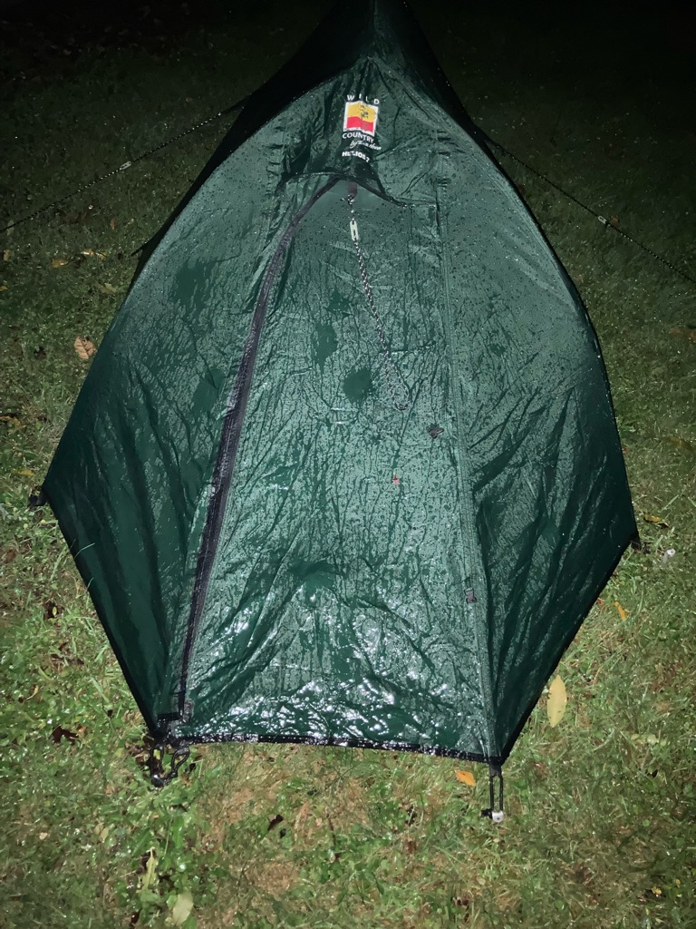
I got to Jackson’s Retreat at about 1815. It was still raining. I’d read that the campsite had covered camping areas, but it unfortunately this proved not to be true. I was also dismayed that the price was $50 - 5 times more than my previous night of camping! The ground was very stony, so it was very difficult to get pegs into the ground, which was a pretty dismal experience in the rain. On the upside, the campsite had a decent shower block that was free to use. It was good to get warm again and get into dry clothes. I cooked some rice in the kitchen area whilst charging my phone and GPS. There didn’t seem to be anywhere to dry my wet gear out though. The rain got very heavy as I sat in the kitchen, and I hoped the tent was doing OK! It eased off a bit at 10pm so I headed back - it was now pitch black in the dark, but I managed to find it without too much trouble.

Everything was still dry inside the tent. I’d forgotten what a good tent I have! Terra Nova tents were all the rage when I bought it, lucky it wasn’t all hype! There were a couple of places on the campsite’s map where you were supposed to be able to see glow worms at night. I decided to try to go to have a look. I walked down the path to where some were supposed to be, but didn’t see anything. Eventually it looked like you had to cross a stream to keep going on the path, which I wasn’t so keen for in the dark. I’d have to find some glowworms some other time!

Distance: 73.6 miles

Ascent: 1744 meters

8
Coast Road Holiday Park

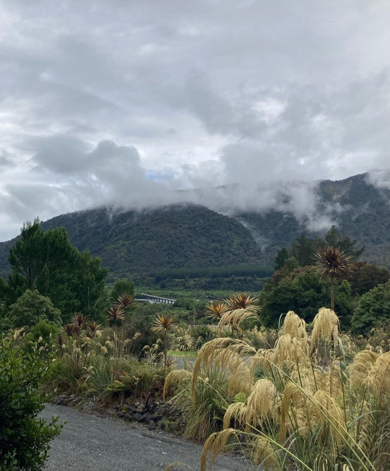
Down to the West Coast

I think that it rained all night. No water came inside the tent, which was excellent. Terra Nova really do make great rents! I woke up at about 7 and listened to the rain hitting the flysheet, and probably dozed a bit more. The forecast for the day was supposed to be a lot better, so perhaps it would stop soon….but that was not to be the case!

I was feeling pretty dispirited. Yesterday had been very tough on the bike, and I’d really been hoping for a break in the weather today. I wasn’t looking forward to getting all of my wet kit together and riding on in the rain, on an uncomfortable bike. Also, I wasn’t sure how far I wanted to ride either - it was about 65 miles to Punakaiki on the coast, which had been my original plan, but now I wasn’t so sure that I could face going that far. Certainly not another day like yesterday. Maybe this trip hadn’t been such a great idea…

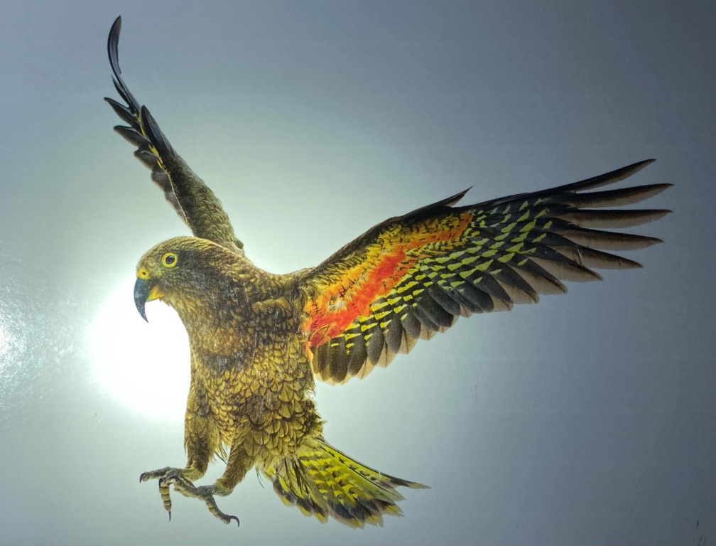
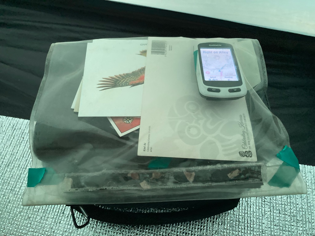
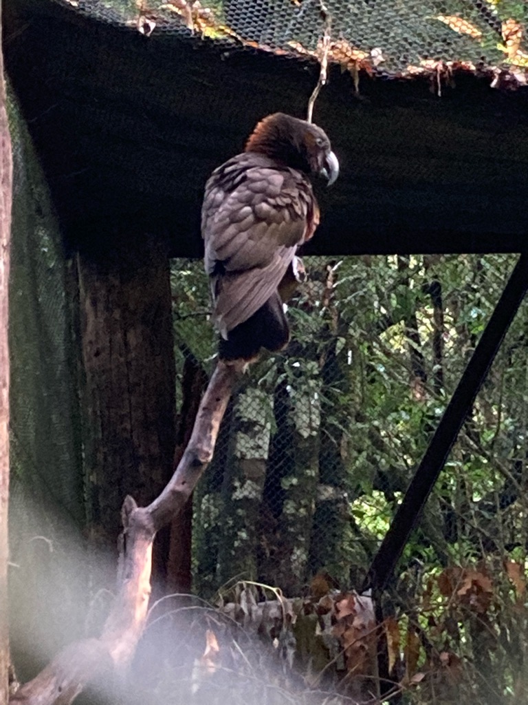
I was sad that I didn’t see a Kea when I was at Arthur’s Pass or staying at Jackson’s. They are mountain parrots that are apparently very inquisitive and like to explore - so much so that the insurance for my bike explicitly excluded ‘kea damage’ from the policy! Maybe they were hiding from the rain like me. Perhaps I’ll get another chance to see one later. Here’s a picture of a Kea from a postcard though:-

I’d been contemplating getting changed in the tent, when it occurred to me that I could go to the campsite’s shower block instead, where it would be dry and I could stand up. Not sure why it took a while for me to think of this, probably just focusing on the rain in the tent, and not wanting to move! I put everything I needed into waterproof bags and walked down there - it was about 100m and the ground was so wet and spongy that even more water was coming into my shoes.

Amazingly, the cycling jersey I’d worn the day before was dry (well, apart from a bit of sweat). I guess being under my warm top and amazing waterproof had protected it. There was a hairdryer, so I had a go at drying out my shoes. The insoles seemed to have absorbed lots of water and wouldn’t dry, but it seemed to work ok on the shoes themselves, which was encouraging. I put on a dry pair of socks, and now had dry feet, more or less.

I’d originally intended to not eat at the campsite and ride somewhere to buy food for a nice breakfast. However, since it was later in the morning, I decided to make some instant noodles. There was some communal hot chocolate and tea, so I had three hot drinks. The hot food and drink made me feel a lot better, even as the rain fell outside. I decided that I’d stay in the kitchen and make use of the electricity to charge my phone whilst I checked a few things.

View from the kitchen:

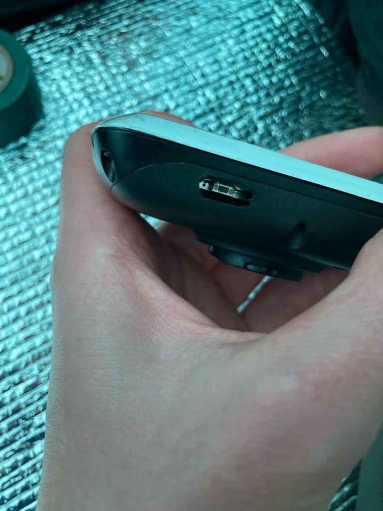
I’d had a bit of a disaster with my GPS the night before, so I spent some time checking it. When I went to turn it off, the waterproof cover over the switch had cracked and then disintegrated. I guess it had got old and brittle...I originally bought it 9 years ago, for a similar trip in Australia. Initially the power switch wouldn’t work at all and I couldn’t turn it on, but eventually I found a way to operate it (prodding it with the point of a Biro!). However, due to the missing cover, I could now see inside the GPS, and all of its electronics - clearly it wouldn’t be waterproof anymore. I suppose I’m lucky that the demise of the cover didn’t happen during the ride yesterday! This could be pretty problematic for the trip, as the GPS is my main tool for navigation, so I don’t want to break it. My best solution for now is to cover the hole with electrical tape, and watch out for rain….

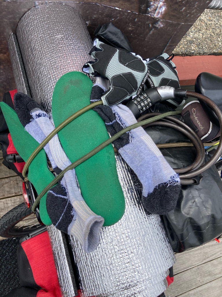
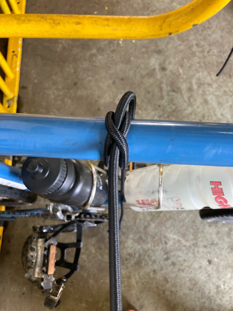
By 1030, the rain had eased off a lot. I decided it was time to go back to the tent and pack up to go. I managed to get everything back in the panniers OK without getting things too wet, and took the tent down. I strapped my cycling gloves, yesterday’s socks and shoe insoles with bungees on the outside of my stuff - perhaps that would eventually let them dry.

The campsite had a walk to a waterfall, so I thought I’d go and check it out. It was the same route as my abortive glow worm trip the night before - I’d definitely made the right decision to turn around then, as it was very rough going! I didn’t get to the waterfall- there was another stream I needed to get across, but I didn’t want to risk soaking my newly dried out trainers!

Mountain stream at the campsite

I eventually got on the road at 11:55…it felt a bit wrong to be leaving so late, but on the other hand, I’d managed to sort my things out, and the rain had virtually stopped…overall it was probably for the best. And a good reminder about the effect of hot food and drink!

My first planned destination was Moana, about 20 miles away. There was supposed to be a lakeside cafe there. The route was to follow Lake Brunner Road, which paralleled rivers leading down to the lake. That meant that the road was mainly flat or gently downhill. I got into a good groove with riding, there was no headwind, and I was making great progress. Soon I was warm enough to take off my waterproof (also strapped onto my kit with a bungee). And of course, the scenery was fantastic.

I got to Moana at about 1330. I felt I’d earned my lunch there! I was feeling much better now.I probably spent a little too long there (the email monster got me), though on the other hand it was good to rest. I still wasn’t sure if I wanted to go all the way to Punakaiki, so I looked at routes and options for camping along the way. I’d found an app called “Rankers” that mapped out locations of campsites in New Zealand, along with information about their facilities and pricing, which was proving to be very useful - and reassuring for route planning.

Moana Lake:-

My lunch!

The route to Greymouth, the town on the West Coast I was heading to, mainly followed a river valley, so again mainly consisted of flat or downhill. The rain had definitely gone now, and I was feeling better, although my legs, particularly my knees were hurting a bit.

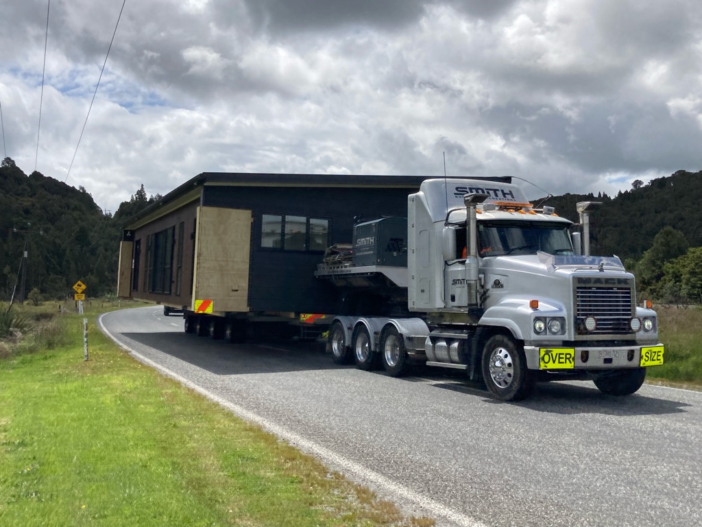
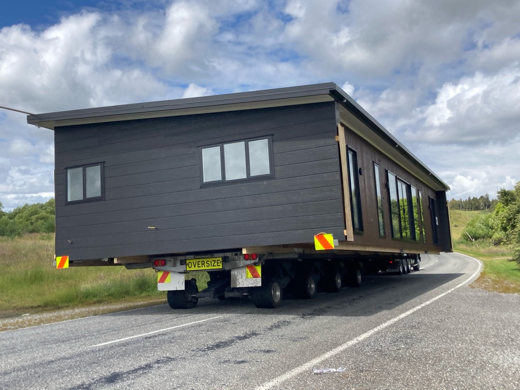
At one point I had to get off the road due to a wide load - a house being transported on the back of a lorry! Gives a new meaning to ‘moving house’…

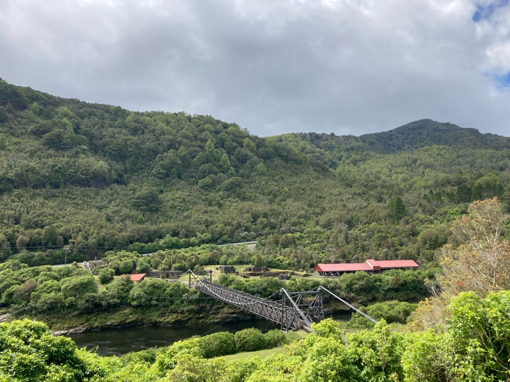
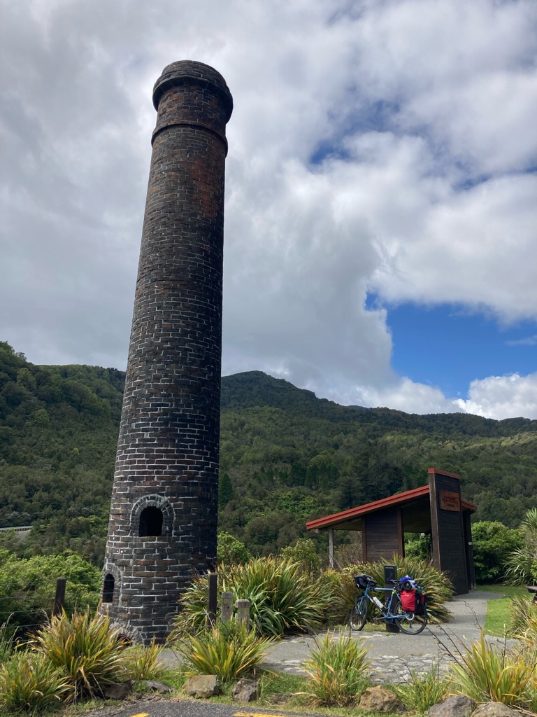
I had a quick stop at Brunner Mine Suspension Bridge, which was next to a historic coal mining site from the late 19th century. Lots of the miners came from Newcastle in the UK, probably the origin of the name of ‘Tynemouth Tower’.

Brunner Mine Suspension Bridge

Tynemouth tower

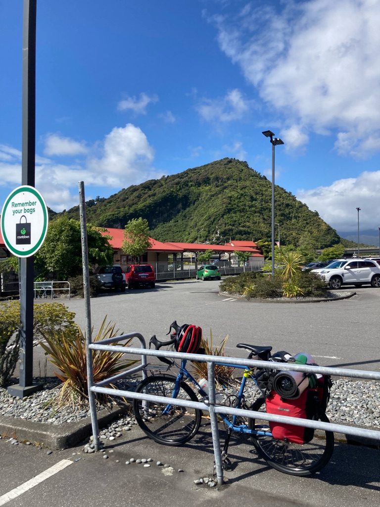
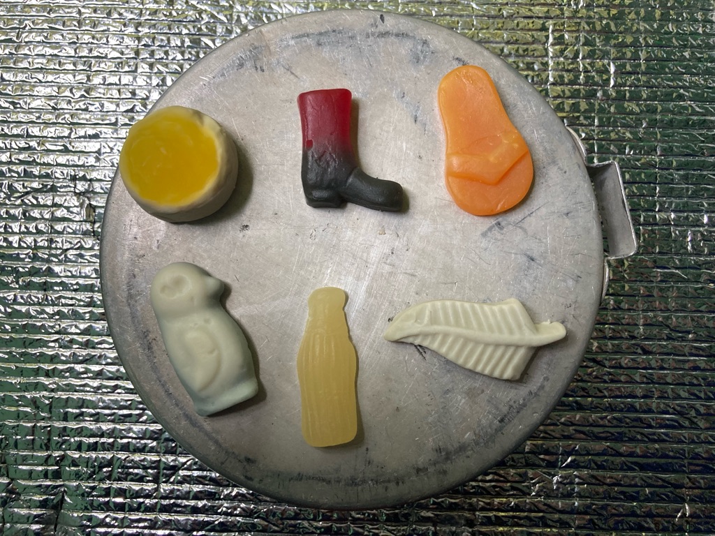
I got to Greymouth, the town on the coast at the head of the Grey river, at about 1630. I was pleased with how things had gone - 45 miles done, and I was feeling OK. All my stuff had dried out in the sun. I went into a “Countdown” supermarket at the edge of town - given that I’d eaten most of my supplies I needed some more. Also I wanted to be less reliant on cafes, as it was getting expensive (I’d been stung paying $3.50 (over £2) for a single chocolate bar at Arthur’s Pass and still hadn’t got over it a day later!). For $25 I got 4 scones, a box of mini donuts, some bananas, some biscuits, 2 pasta meals ($1.50 each and only weighing 80g), and two packets of sweets - felt like a real bargain, even if I wasn’t quite sure how I’d pack it all up!

Countdown car park:-

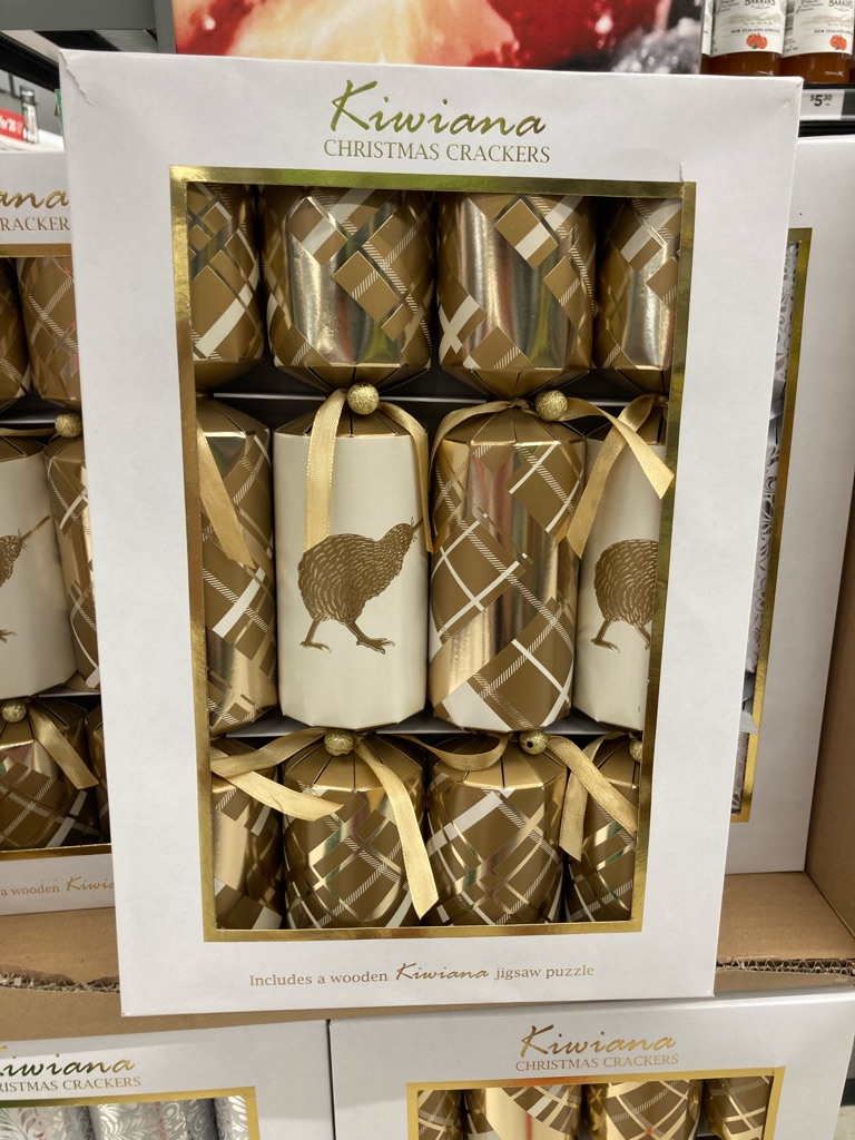
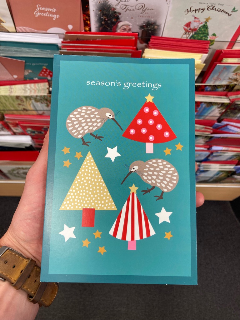
I also saw these Kiwi themed Christmas crackers in Countdown - looking forward to seeing more NZ festivities as Christmas gets nearer!

Christmas is coming!

My aim was now to get to Coast Road Holiday Park, 3 miles South of Punakaiki. It was 21 miles North along road that followed the coast. The sun was very bright now - retrospectively I should have put on some sun cream as I got a little burnt by the end of the day, but my mindset was to get going and not waste time. I had to climb a little hill as I left Greymouth, and the outsides of both my knees really hurt. I think it’s a combination of the heavy bike, and that I don’t fit it that well - I probably have the saddle a little too low so that I don’t have to stretch too far to get to the handlebars. Short of getting taller or lengthening my arms, I’m not sure what I can do!

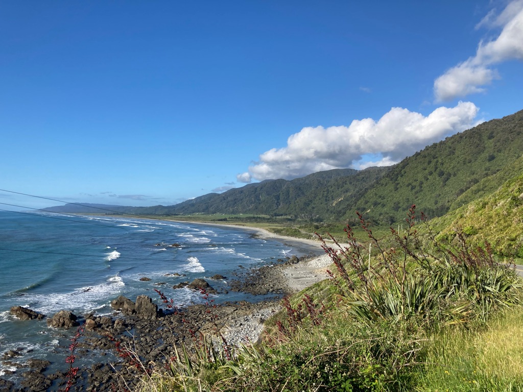
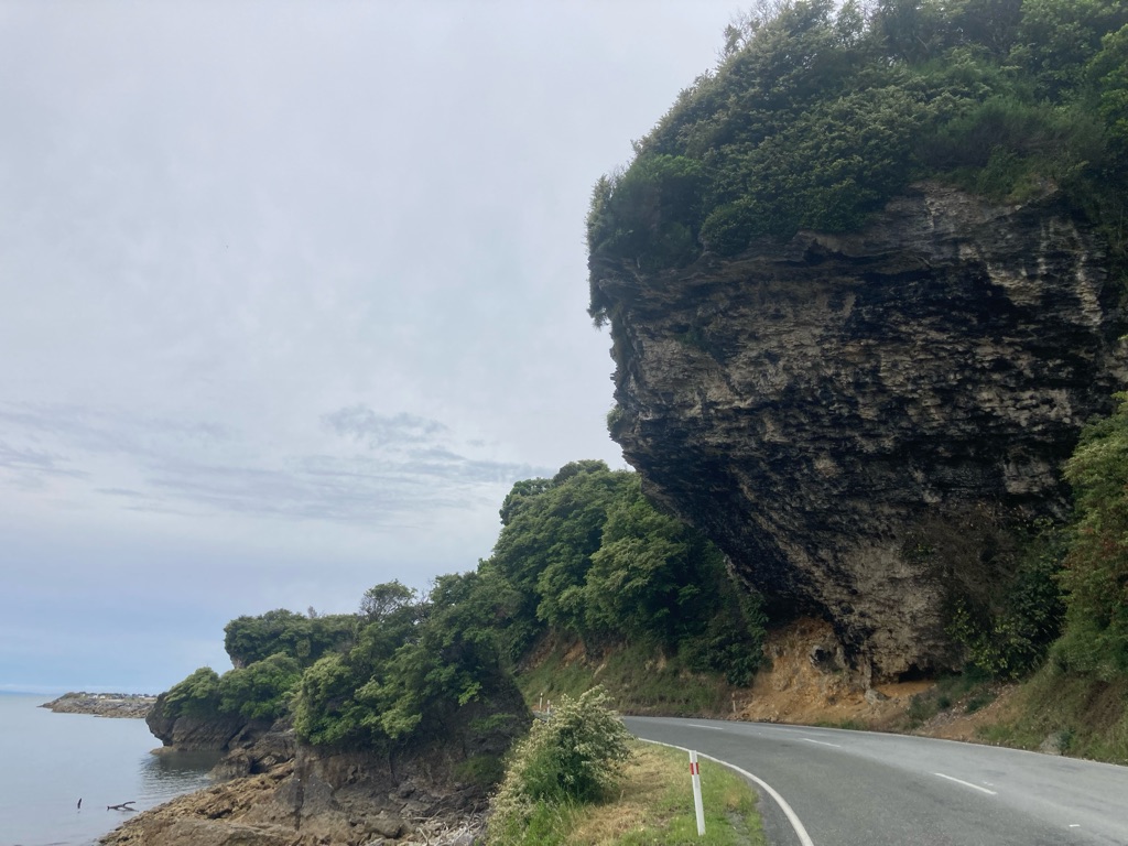
The coastal road had some amazing views of the sea. There were quite a few climbs and descents, mainly around creeks flowing into the sea. The climbs weren’t that big as things go, but they did hurt my knees a bit - hopefully just a case of fatigue at the end of the day. The wind helped me a little, and I got to the campsite at about 1915.

The weather was now amazing, with a great blue sky. The campsite was wonderful, with lots of birdsong, and the sounds of the waves breaking on the beach over the road. I was worried about pitching my tent before I had paid, but I couldn’t see an office or similar. I eventually found the owner, who was very relaxed, though surprised by my cycling ‘exploits’. Half an hour later, as I sat in my tent, they came by and gave me a baked potato, homemade sausage rolls, and some salad! They said I needed it after all of the miles. It tasted great - my scones could wait for later.

Even though I had arrived quite late in the day, setting up was fairly quick and easy. I went for a little walk to try to relax my legs a bit. Kneeling to put the pegs in had been somewhat painful, so they probably needed a bit of a stretch. I wanted to see if I could see any of the birds I could hear, but I had no luck this time. I also drank a litre of water to try to keep hydrated.

I stayed awake until about 2330 writing the blog (maybe I need to write less). I hadn’t ridden as far today as yesterday, but it had been a good day. The easier riding (I averaged over 13mph) and better weather, topped off by the great sausage rolls all contributed!

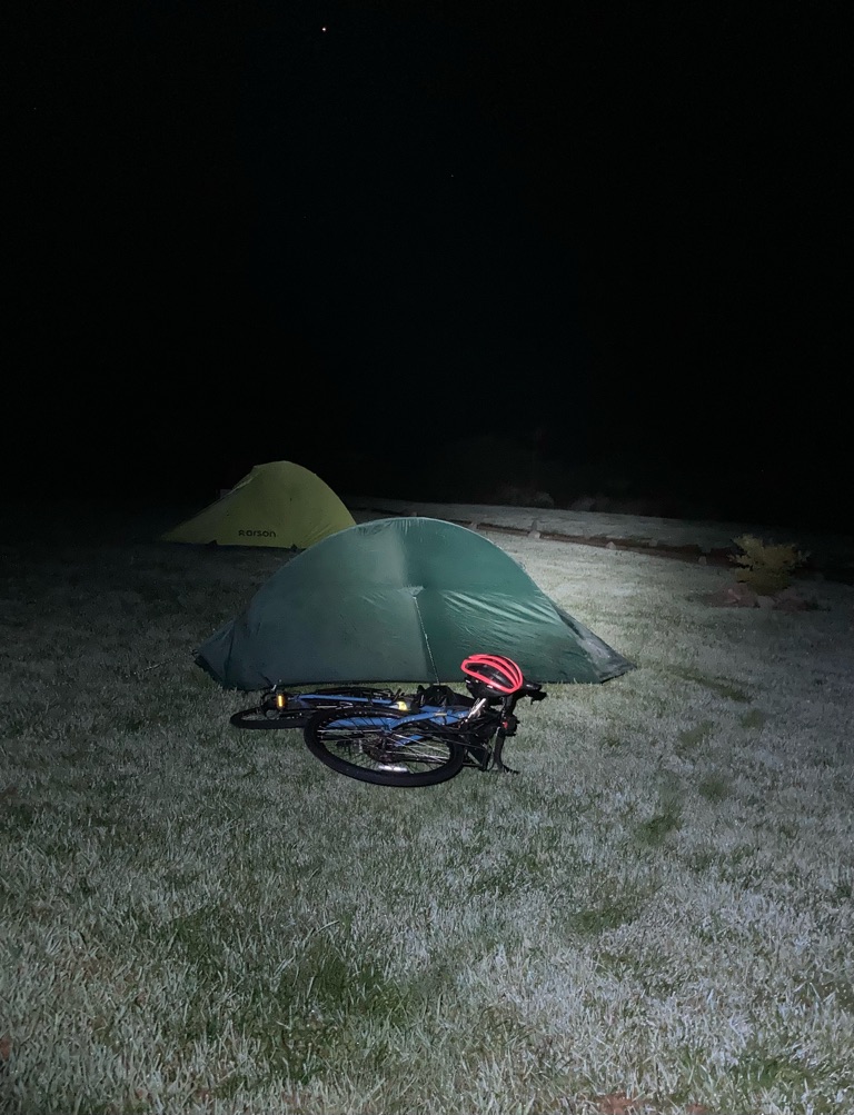
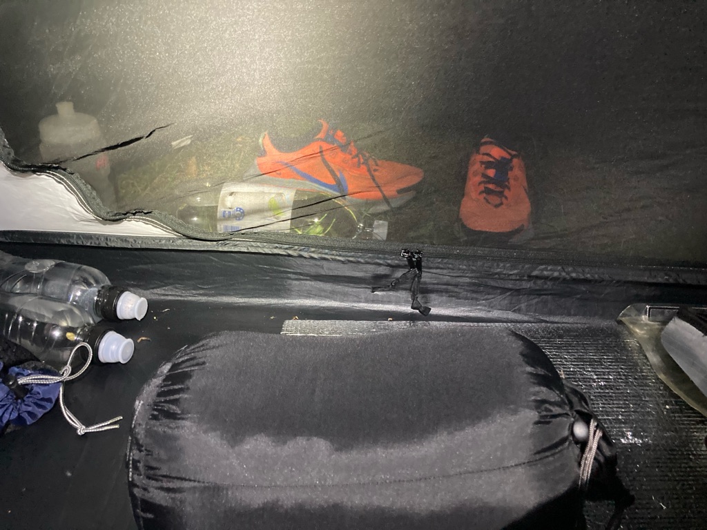
Tent by night:

Distance: 66 miles

Ascent: 705m

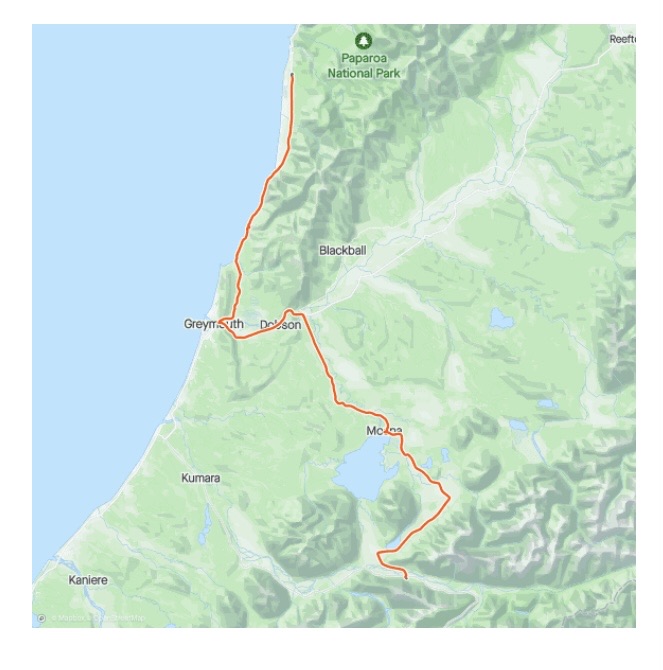
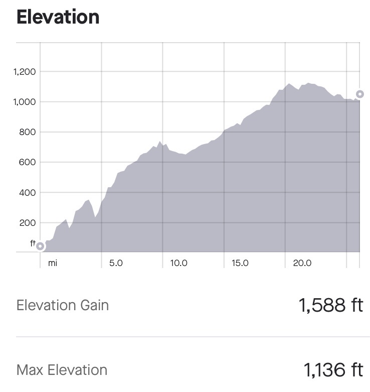
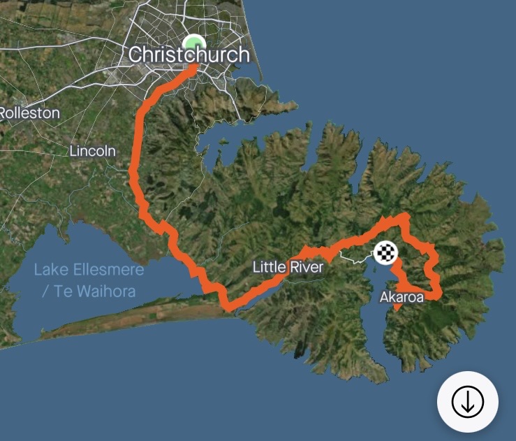
The day’s route

9
Berlins Café, Bar, Campground & Backpacker

Pancake Rocks and the Buller Gorge

Somehow I’d stayed awake until about 0030 (perhaps all that hydrating had something to do with it). I’d decided not to set an alarm and woke up at about 0800. I had quite a leisurely start - there was a lot of dew from overnight so I tried to dry the tent out in the sun. I noticed some fine droplets of water inside the GPS screen, but fortunately it would still turn on, so I left it in the sun to evaporate the moisture. I guess I’ll have to think about how to store it overnight to avoid damp.

The weather was great, and I was ready to \240go at 0930, after drinking 3 pints of water and refilling the bottles. My first planned stop was only 3 miles up the road, perhaps a little overkill, but I guess it’s a good idea to keep the habit of drinking in this weather!

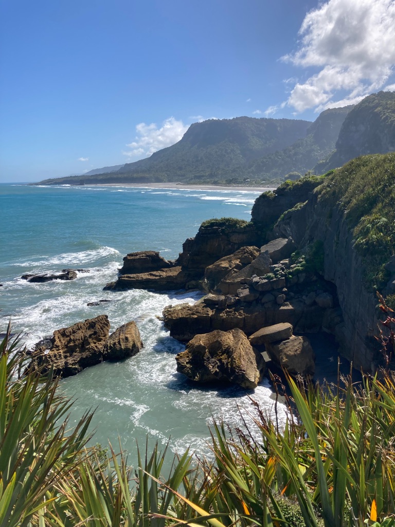
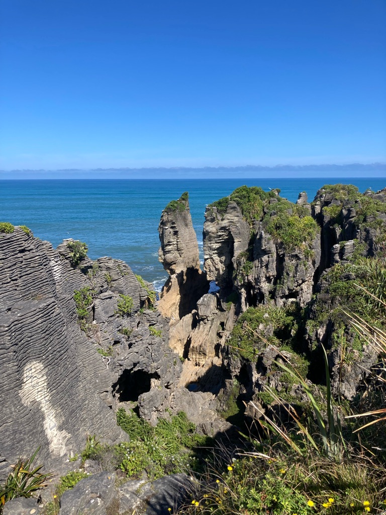
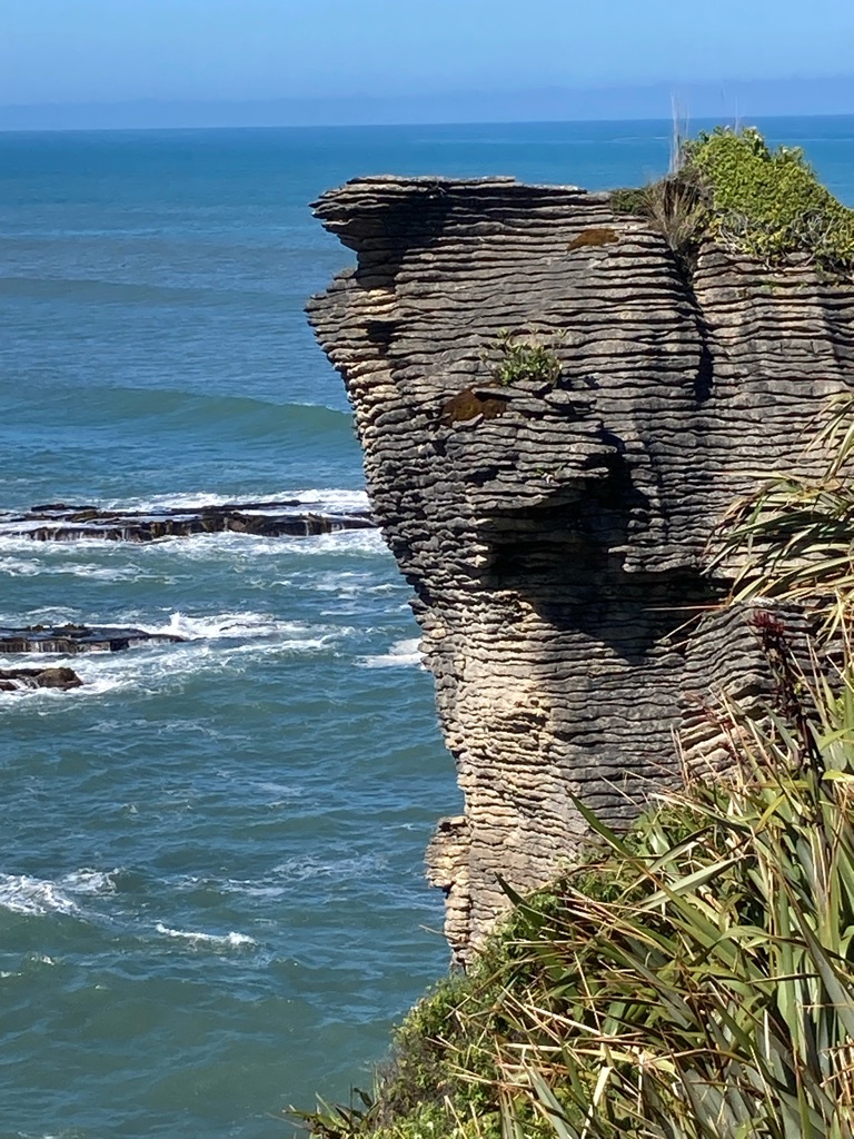
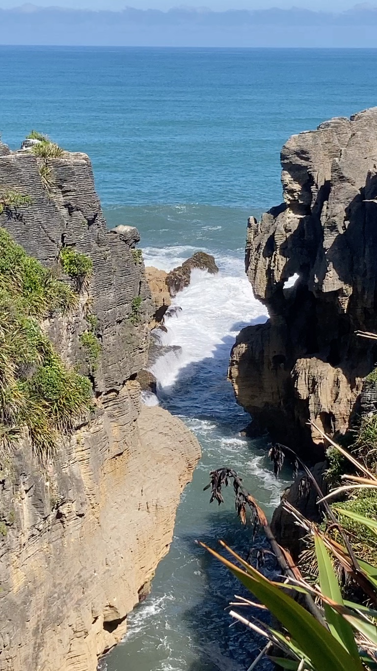
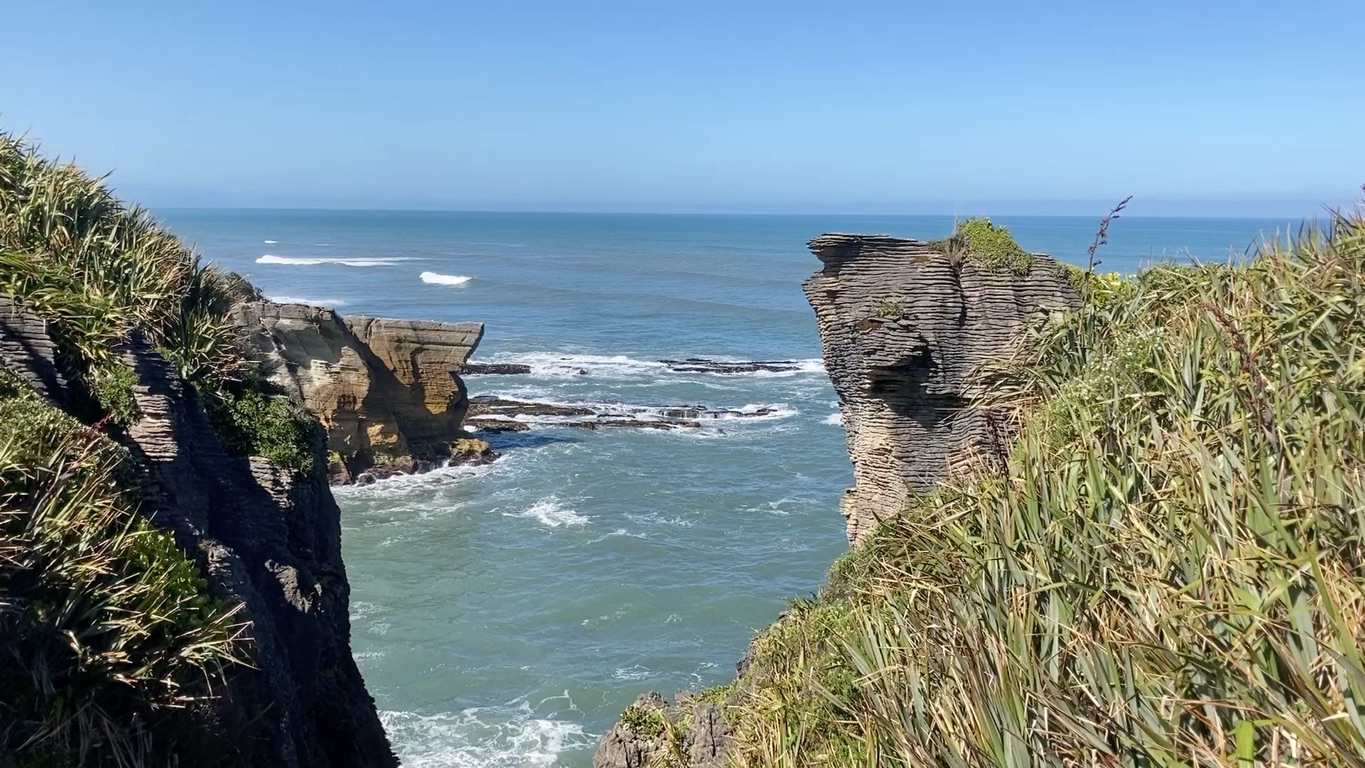
My destination was the ‘Pancake Rocks’ at Punakaiki - “the most photographed rocks in NZ” I’d read somewhere. I arrived there in about 15 minutes. There was a great information centre (also with nice toilets, which were vastly superior to those of the campsite), a cafe, and most importantly a signed footpath to the rocks.

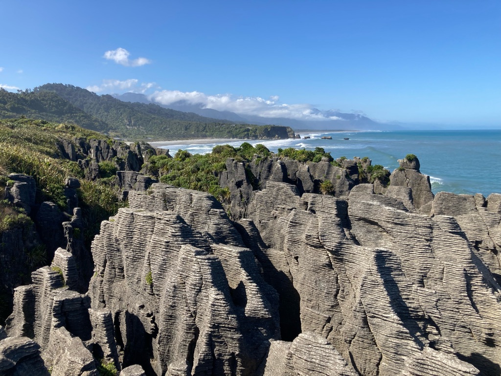
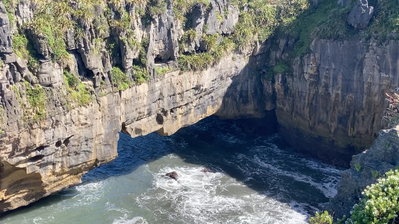
The Pancake Rocks certainly lived up to their photogenic reputation! They are limestone, and have been eroded by the sea, leaving outcrops, caverns, and blowholes (these are active at high tide but that didn’t coincide with my visit).

According to an information board, no one has yet explained the layering/stratification of the rocks.

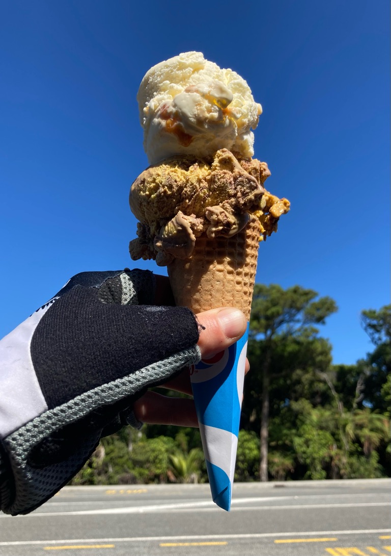
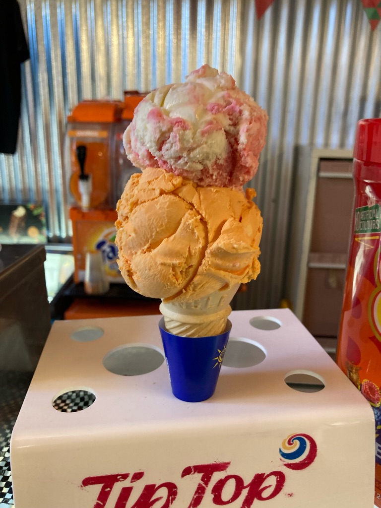
After I had spent about 45 minutes looking at the rocks and taking pictures, I went into the cafe. Unsurprisingly, they had a lot of pancakes on offer!! However, I went for an icecream instead - banana split, and ‘hokey pokey’ flavour, which is a NZ favourite consisting of vanilla and honeycomb pieces. My phone needed a bit of a charge, and the internet coverage was OK so I spent a little time in the cafe. By 1130 I really felt I needed to get on the road, given I’d only gone 3 miles and had a huge ice cream!

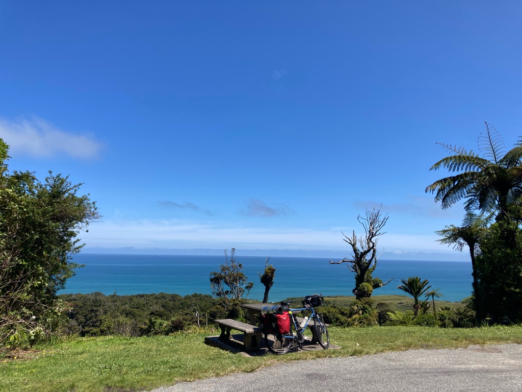
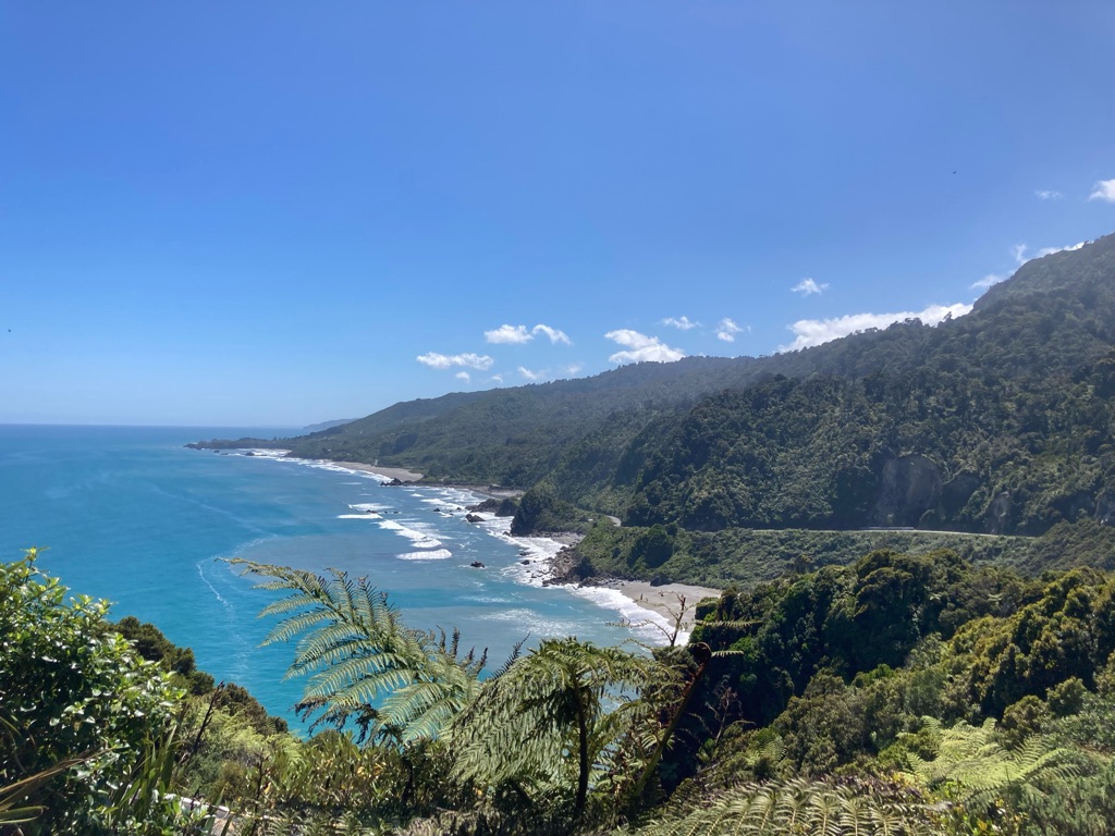
I continued North up the road, towards Charleston. There were great views out to sea, combined with a wonderful blue sky. The road followed the coast, and there were lots of climbs and descents. Sometimes I was down by the sea, and then very soon I’d be back up at 50 or 100m elevation.

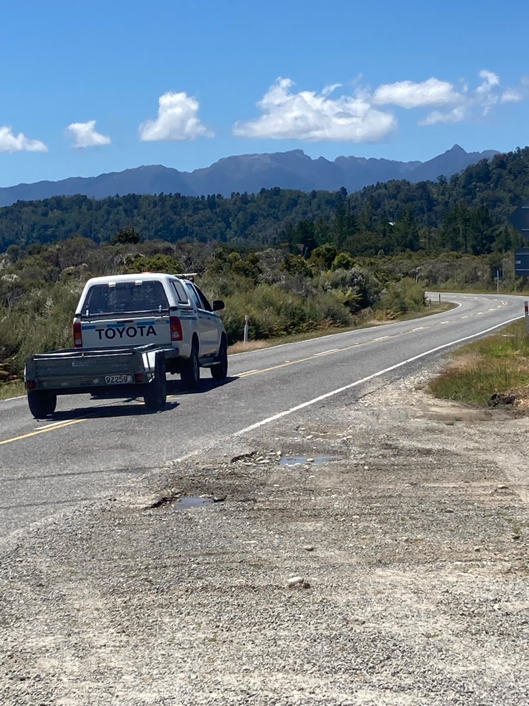
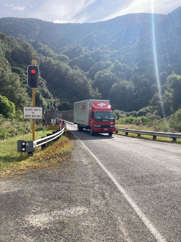
I came up to some roadworks, with traffic lights and a sign saying to expect severe delays. I happened to be behind a jeep towing an empty trailer, and the driver jumped out and said he’d give a lift through the roadworks. I’d probably have preferred to keep riding, but he insisted, and some of the workmen agreed - they weren’t keen for me to get in the way of the single file traffic. So we lifted the bike into the trailer and I got a 1.5 mile lift! It was mainly downhill and rather windy, so probably for the best. I chatted with the driver about my plans. It turned out he worked on road construction, and assured me that the Nelson-Picton road (highway 6) would be open again after 18th Decemeber. Maybe there’d be an option instead of getting the bus - though I’d have to confirm it before cancelling my ticket!

My ride departs

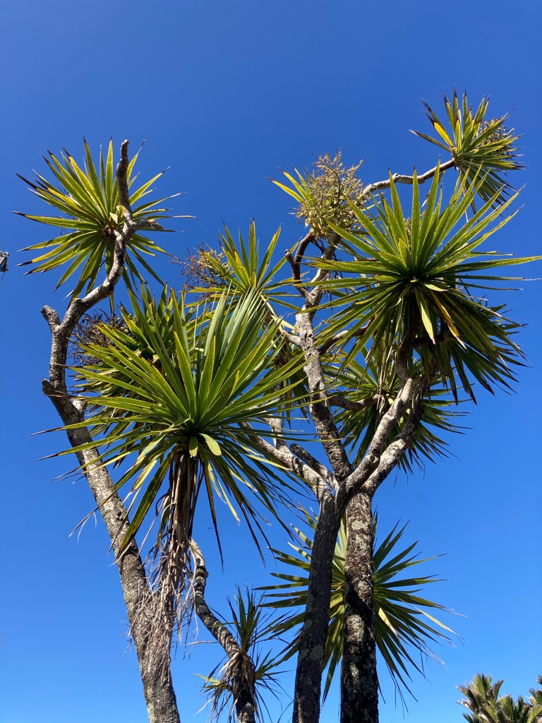
A “Cabbage Tree”:-

I got to Charleston at 1330, having covered another 18 miles or so. It was much smaller than I thought it would be, but there was an ‘Underground Adventure’ centre with a cafe. They had a tour of a cavern with a 400m underground lake, rafting, and glowworms! However, the tours only ran at 9 and 11.30 each day, and lasted 4 hours, so weren’t an option for me. I wanted to have a decent stop to get out of the sun, so I bought some food and spent some time doing some route planning. I was undecided where to head to next, perhaps the town of Westport on the coast. I checked my email and saw that some fellow cyclists in Ngatimoti could offer me accommodation later in the week. I realised I could get there by the 15th by taking highway 6 to the East. After a bit of Apple Maps exploring, I found a place called “Berlins” offering camping and rooms on the road I’d be using. It was about 110 miles from Ngatimoti - so I’d need to cover 50 or 60 on each of the next days, which I felt would be pretty achievable.

Roadside plants.

As I got riding out of Charleston, my knees hurt quite a lot. It was a little tempting to stop, but I had to try to keep making progress. I played some mind games with myself, and decided that I could stop - after 1 hour. As 60 minutes went by, it occurred to me that if I kept going I saw I’d be at a total of 35 miles, so I pushed on a bit more. Then the same again to get to 15 miles short of the destination. Then again for a sign advertising a scenic view in 4 km. I spent a bit of time mentally calculating how many miles 4 km equates to (2.5 miles!). I finally stopped, having made a good chunk out of the distance I needed to go. I wanted to have another proper break, so I set a timer for 30 minutes on my phone. I ate one of the date scones I’d bought in Countdown the other day.

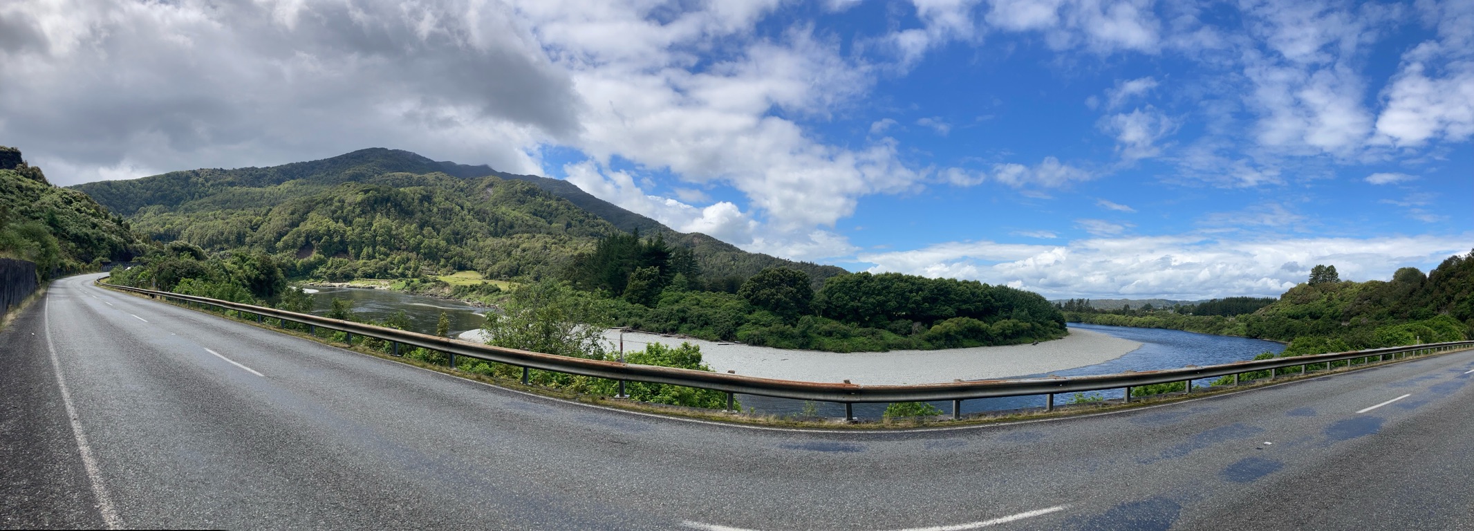
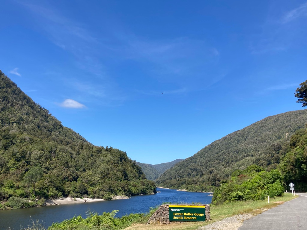
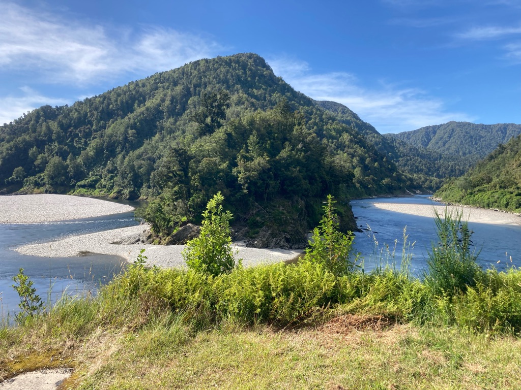
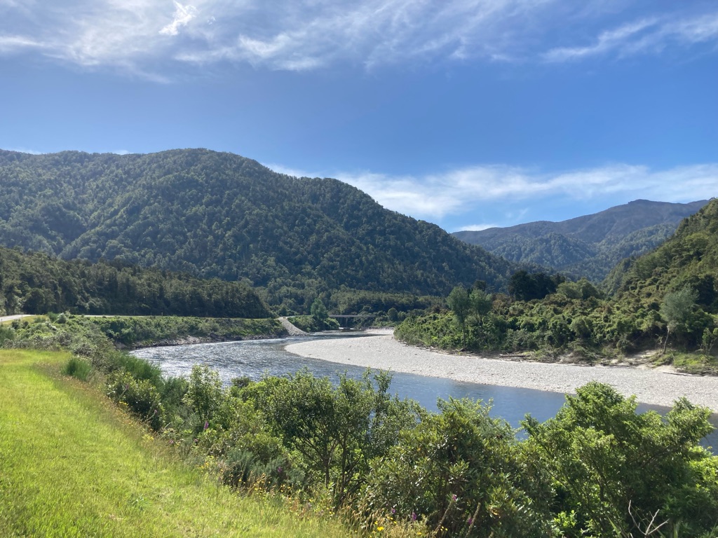
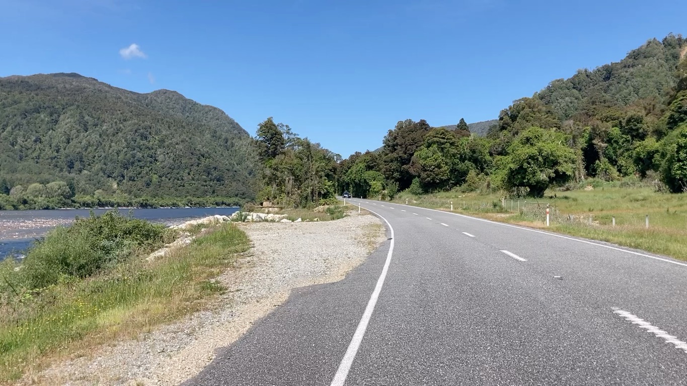
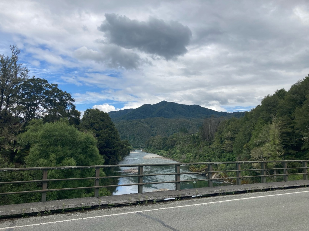
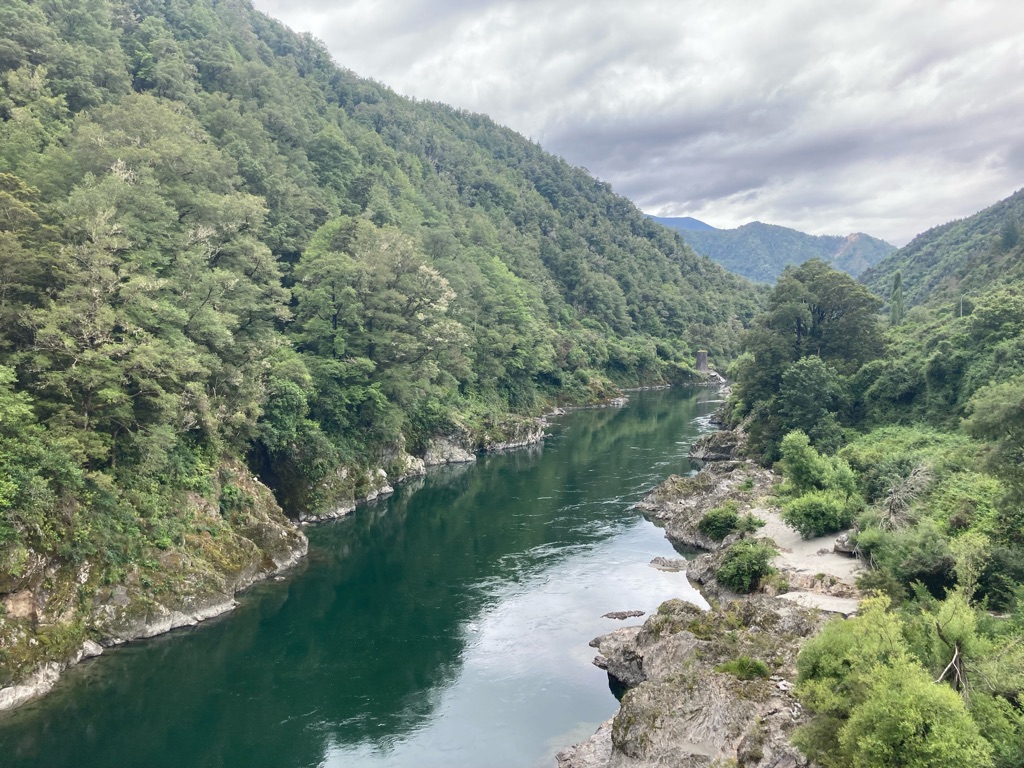
I got going again. The road ran parallel the Buller River, making for great sights, with the steep sided valley and occasional confluences with other rivers and creeks flowing into it.

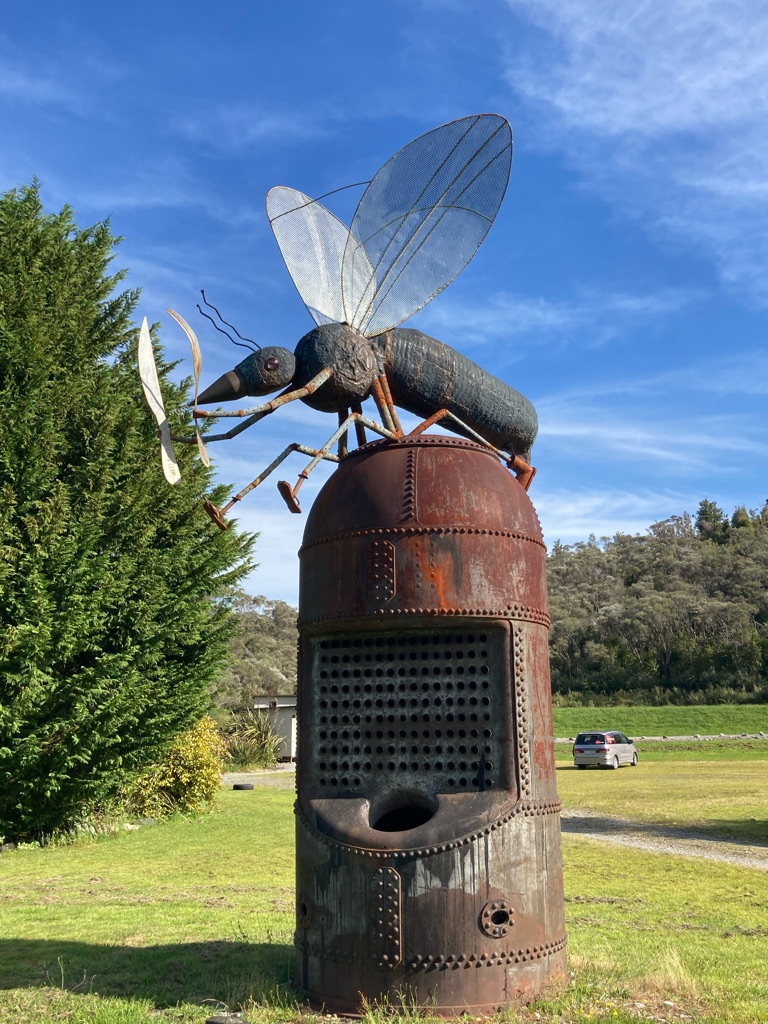
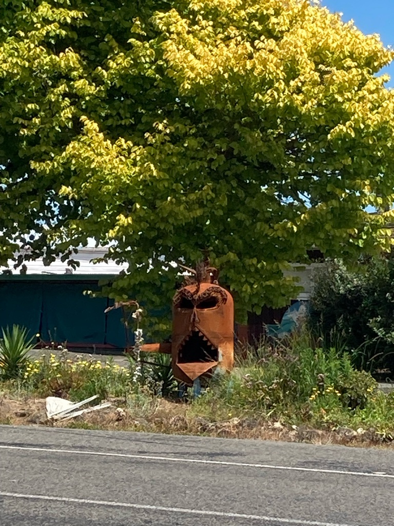
I couldn’t find Berlins in my GPS, and there was no mobile signal, so I didn’t know exactly how far I had left. It was probably 10 or 15 miles on from my stop. I guess it had to be on the road I was on, as that was the only one there was! Eventually, at 1730, it appeared. There was a large sculpture of a fly holding a knife and fork, hopefully not an indication of the standard of the food!

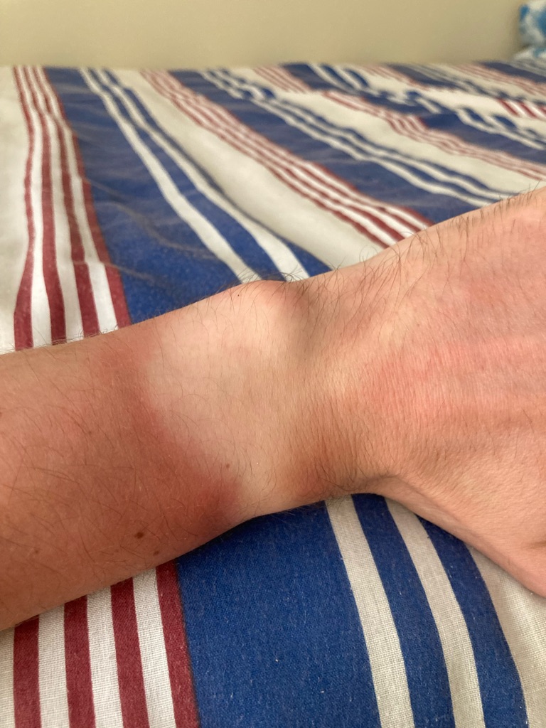
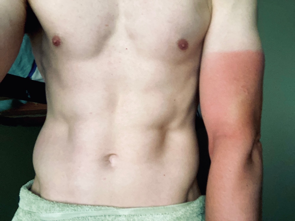
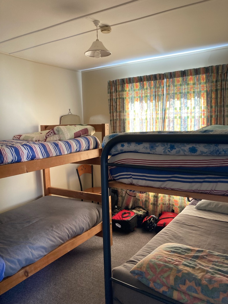
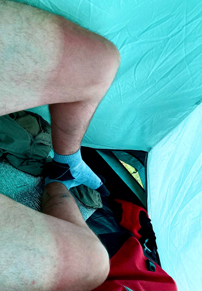
To my dismay, it looked like Berlins was closed -nobody seemed to be about, and there were signs saying it was up for sale. However, I checked the door and it was open. The owner was inside, and fortunately it was possible for me to stay. It was $12 to camp, or $28 for a dorm room. Nobody else was there, so I’d have a room to myself. I went for the room. \240It even came with a towel! Since I’d arrived earlier in the day, I had plenty of time to get clean and sort my kit out - I even washed one of my sets of cycling kit in the sink and left it out to dry. It was great to have a proper shower, and get rid of the last few day’s sun cream, bike grease, sweat and mud off me. I also noticed I had some awful tan lines! Fortunately my slightly burned skin didn’t hurt in the shower, apart from the insides of my elbows - a place for extra sun cream attention from now on.

I went outside to hang the wet kit I’d cleaned to dry. Lots of sandflies buzzed around, and I got quite a few bites - clearly they were the reason for the sculpture! It had definitely been a good idea to get a room instead of camp - $16 extra well spent!

My private room…

I got a meal in the bar, along with some NZ Speights beer. I had high hopes for the salmon burger, but it transpired to be a grey fishcake in a bun. Oh well. The beer was good at least. I chatted with the owner a bit - he’d been cycle touring in Europe earlier in the year.

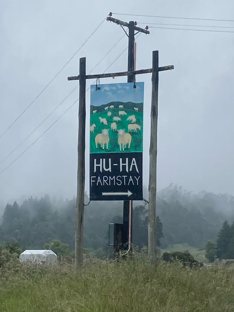
I went back to my room at about 2030, to write the blog, and research places to buy food and stay tomorrow. There’s only one road to Ngatimoti, so there aren’t too many choices. I can find a campsite about half way, but the reviews on “Rankers” say it has lots of sandflies…I guess a problem for tomorrow. I email a ‘bikepacking’ hostel called Hu Ha which is also on the route, and sounds very nice - with a bit of luck they’ll reply sometime tomorrow. It’s a bit further, but probably worth it to avoid the flies!

It was very hot in the room, so I slept on top of the bed in my sleeping bag liner. The blog was done by 2230, so a good night of sleep awaited. I had considered pushing on to a campsite 20 miles further down the road today, instead of stopping here. I probably could have made it there if I’d had to, but it would have been a much less comfortable night, without a shower, beer or a real bed! Correct decision made I’d say!

Distance: 51.5 miles

Ascent: 928 m

10
Kawatiri, Tasman 7072, New Zealand

Sandflies and a swingbridge

I didn’t quite get the night of sleep I’d imagined. No sooner than I’d stopped writing the blog and put my phone down, I heard some other travellers arrive and sit down in the kitchen area outside the room. I could hear everything they said - one was called David and from the US, the other was Line and sounded like she was from Germany. David booked a bus trip over the phone and read his card details out. A cautionary tale about who might be listening in when you aren’t aware of your surroundings! I eventually got to sleep, but woke up at 3 and was probably awake until 5. At least the bed was comfortable. I woke up at 6:40 and decided to get up.

The kitchen has coffee and milk, so I had two cups, and drank a litre of water. David and Line had cooked a meal, and the leftovers were in the fridge - I didn’t hear them cooking so must have been asleep for that bit. Shame I didn’t hear the recipe. I made some instant noodles. A bit of a strange breakfast choice perhaps, but they were the instant type that come in plastic cup - they’ve been annoying me by taking up a lot of space in my kit, so they have to go!! And a good thing to get some food onboard, of course.

I packed my kit up - quick and easy in the comfort of the dorm room. I seemed to have got a little more efficient at it too, it all fittes in pleasingly well. I decided to go a bit Lance Armstrong and take an ibuprofen - perhaps it’d help my knees? I also put my insect repellent in my handlebar bag where it’s easy to get at, along with my sun cream which I had already liberally applied. I had a feeling I’d need both of these today. As I closed the door, I heard a phone alarm go off. Out on the road at 8, excellent!

The ride started really well. The scenery was great, and my knees don’t hurt at all. I’d got more used to the very hard bike seat too, it seemed. My aim was to ride for 90 minutes. I’d hoped there might be a nice place to stop for some proper food, but there wasn’t anything on the map. Never mind, I was feeling great and making good time. I passed Lyttleton campsite after 18.5 miles and 1hr25 on the bike. I reckon I’d have made it OK last night - though probably wouldn’t be so well rested now.

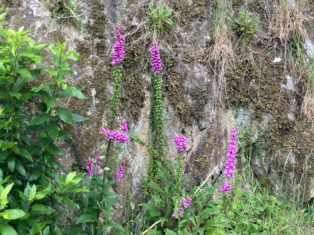
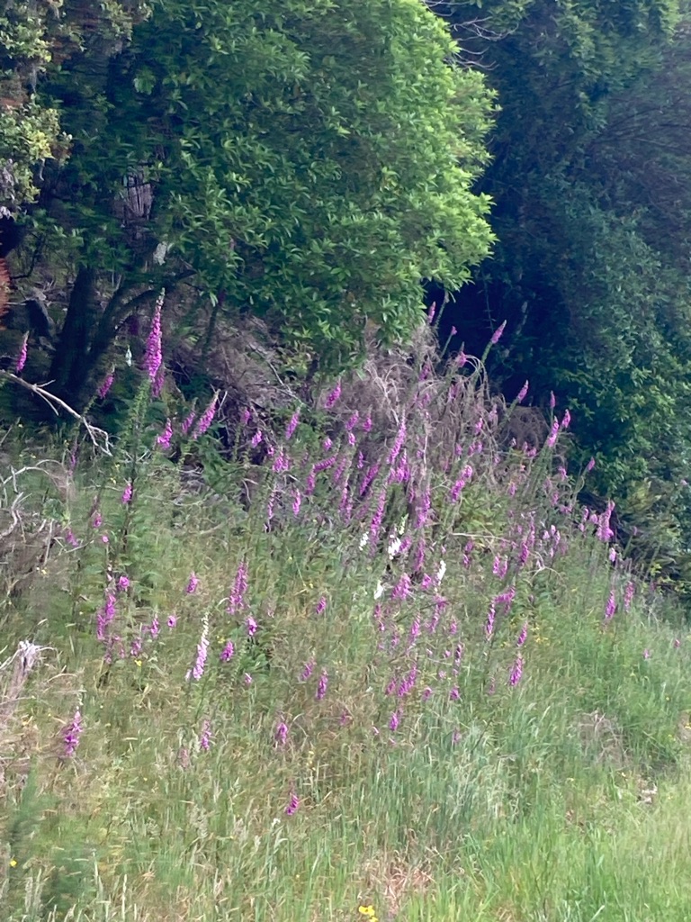
There were lots of big banks of foxgloves at the roadside. I’ve always been wary of these because they are poisonous, I’m not sure why as I don’t usually go around eating flowers! These ones looked nice though (in an aesthetic way!):-

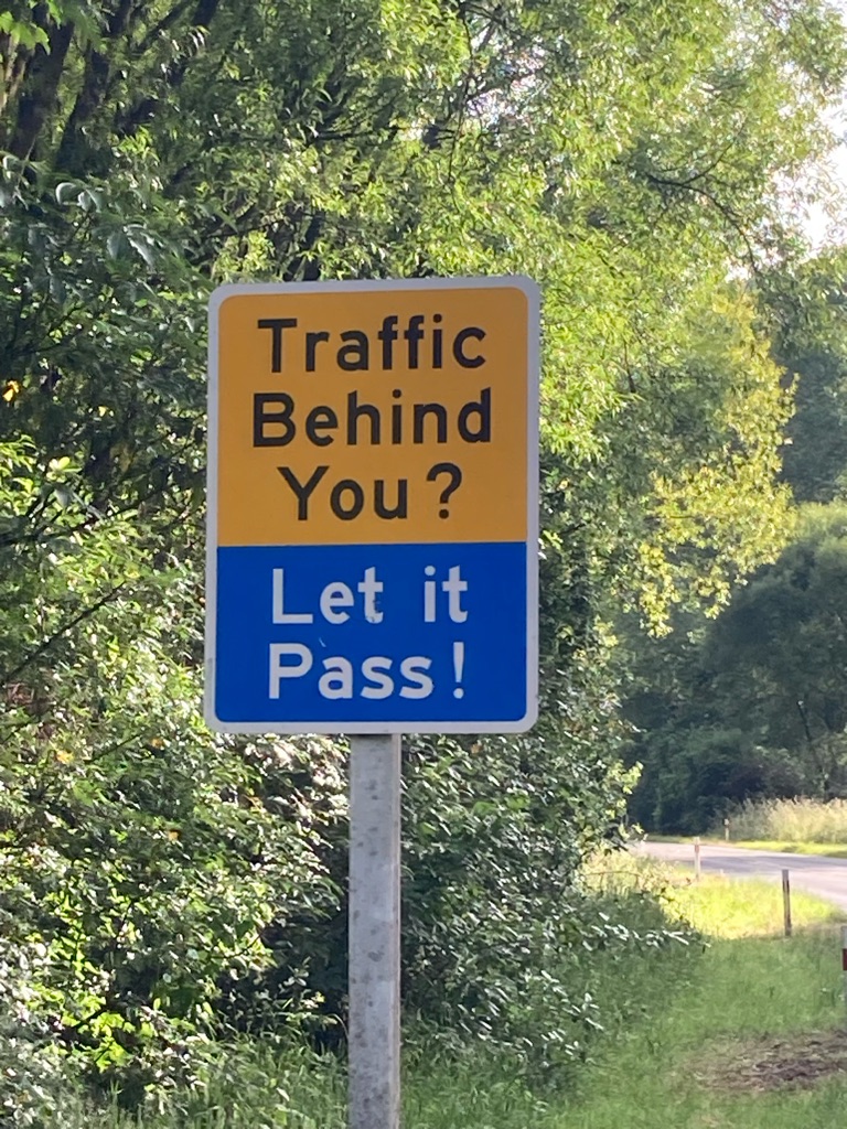
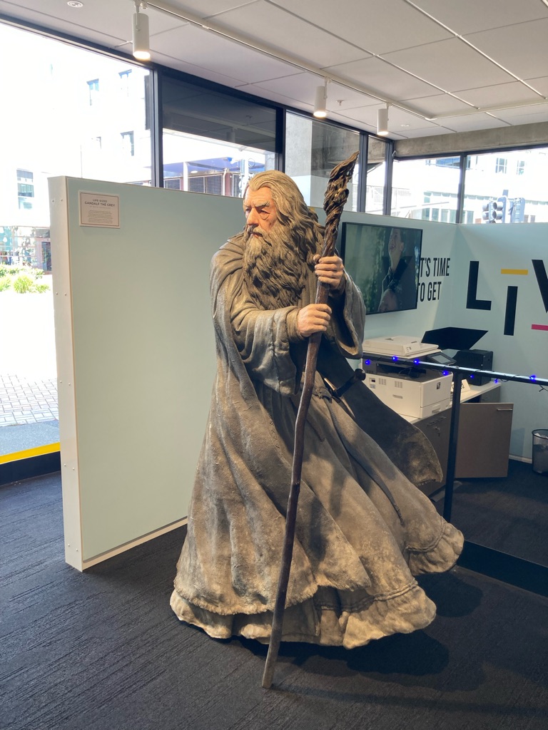
I found this sign amusing - I thought it was ‘Thou shall not pass’ in Lord of the Rings country?! I find myself chuckling away at my own ‘joke’. Hmm…only been on the road 5 days!

I was feeling strong, but I knew I needed to be disciplined and stop to eat. If you leave eating on a bike ride too late you can get into a world of pain! I decided to get to 21 miles and stop after that - I think I’ll likely cover 63 miles today, so that will be a third of it done!

More cows, by a big hill:-

I stopped just before 10am, at a picnic site with a stunning view. Over 1/3 of the distance done, excellent!!! There’s a lot to be said for starting early!!!

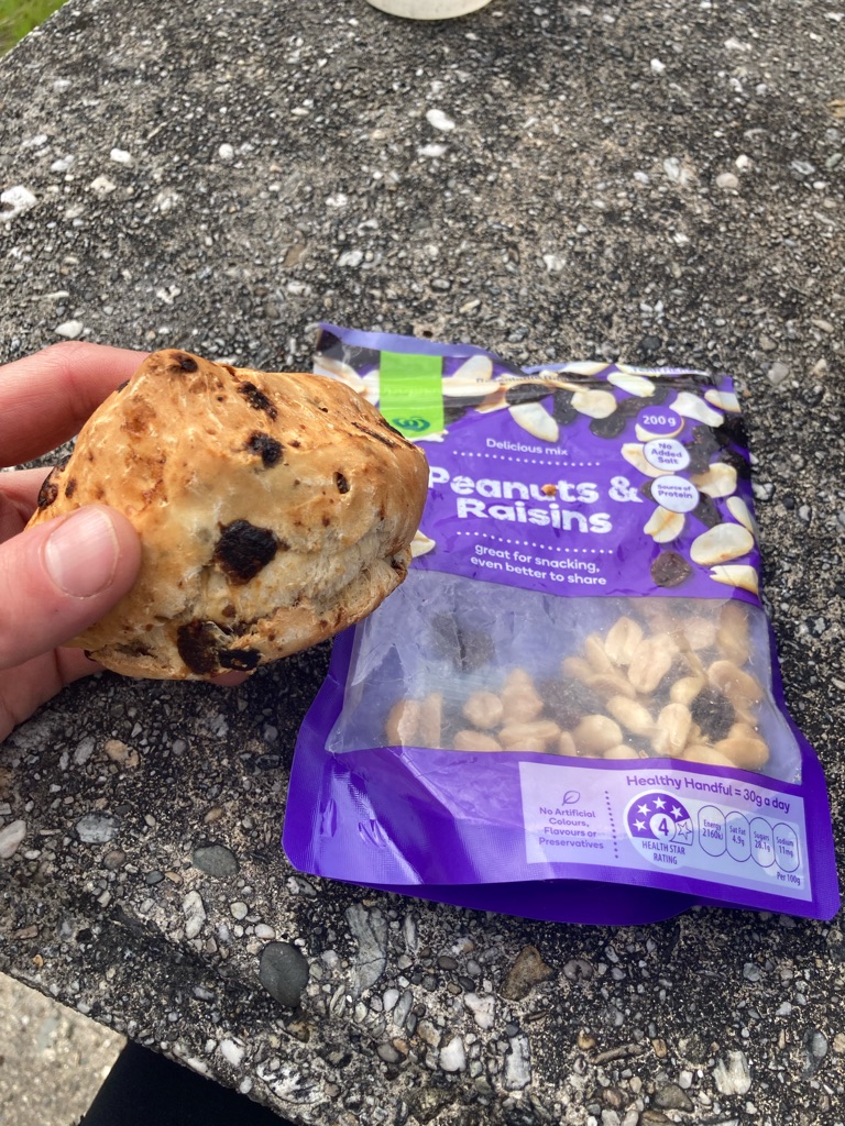
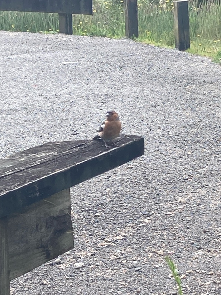
I set a timer for 30 minutes, and ate a scone and some trail mix, which drew the interest of a little bird. I felt mean not giving it some crumbs.

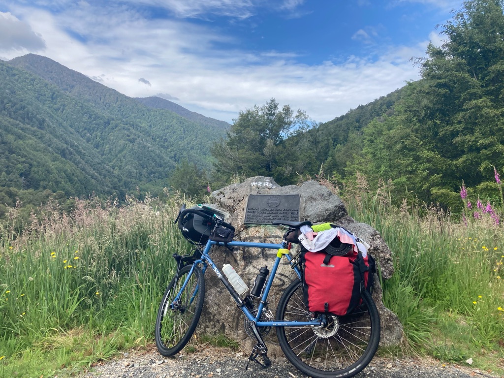
There was a plaque on a stone next to the picnic bench looking out over the view: ‘Thomas Brunner with Kehu and three other Māoris passed here…in a journey of 550 days from Nelson to Paringa and back’. Some trip eh! And no GPS for them.

I started to get bitten by flies. I put some DEET on, but it didn’t seem to work that well against the sandflies. Perhaps they don’t mind the taste, or had the same motivation to eat as me…I certainly don’t like it, and now I felt it on my lips as I continued to eat my trail mix. Not really a way to wash the DEET off my hands here, ah well! I decided to walk around in circles to try to keep the flies off. Not quite the rest I might have imagined!

After almost 30 minutes of “walking rest” I’d had enough of the flies, so I got going again. There were 18 or 19 miles to Murchison, where I knew there were cafes and a supermarket. The route was kind to me, and started with a long descent, which was a nice was to ease back into things. However, my knees started to hurt a bit which was a little annoying. How is that possible after a break?!

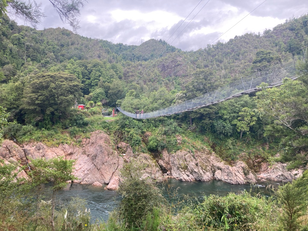
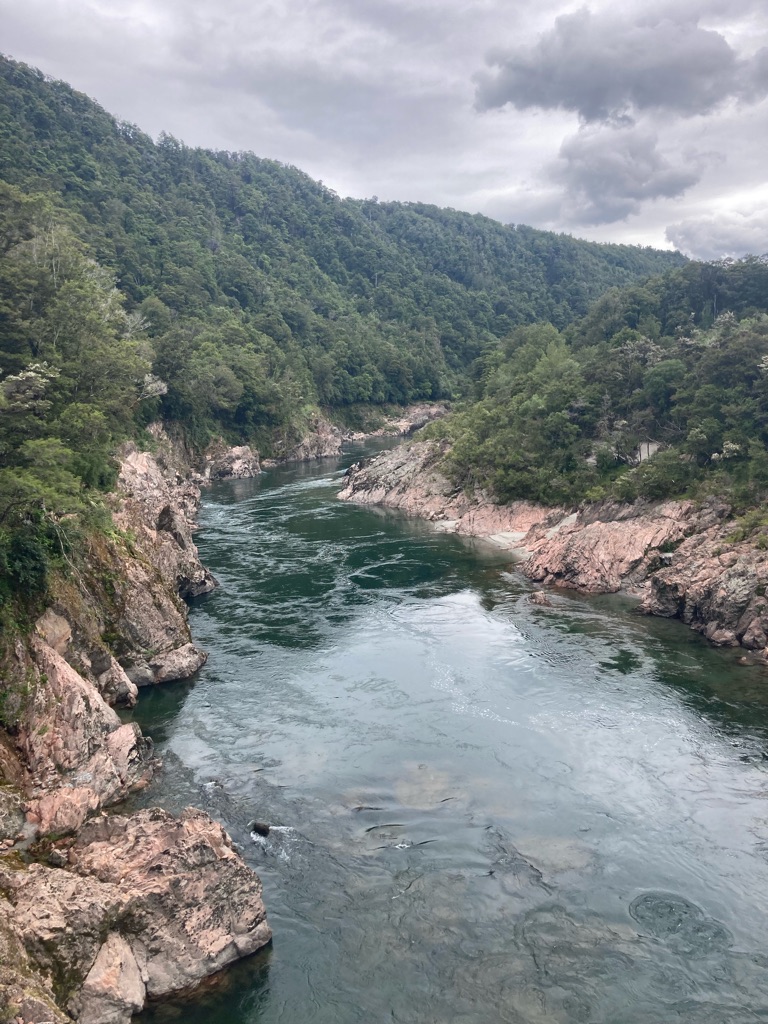
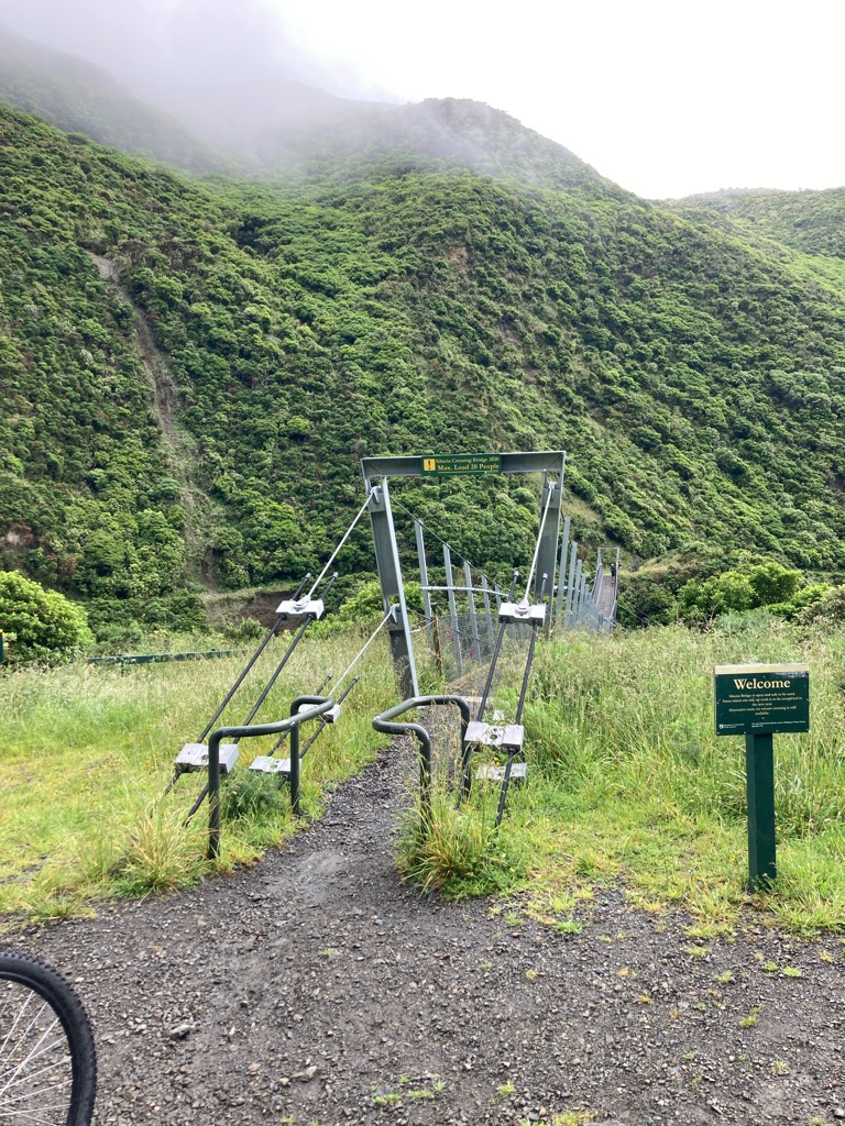
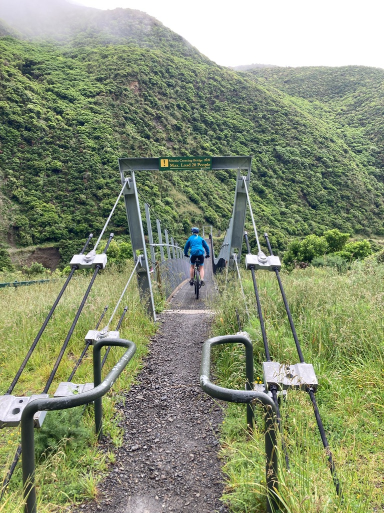
After about 45 minutes, I came across Buller Gorge Swingbridge, ‘The longest swingbridge in New Zealand’. They advertised powerboating on the river, zipline rides across it, and walks around the site. Part of me wanted to keep pushing on, since I’d been making such good time. The other part of me won the battle - perhaps a little look and a walk around would be a nice rest for my knees!

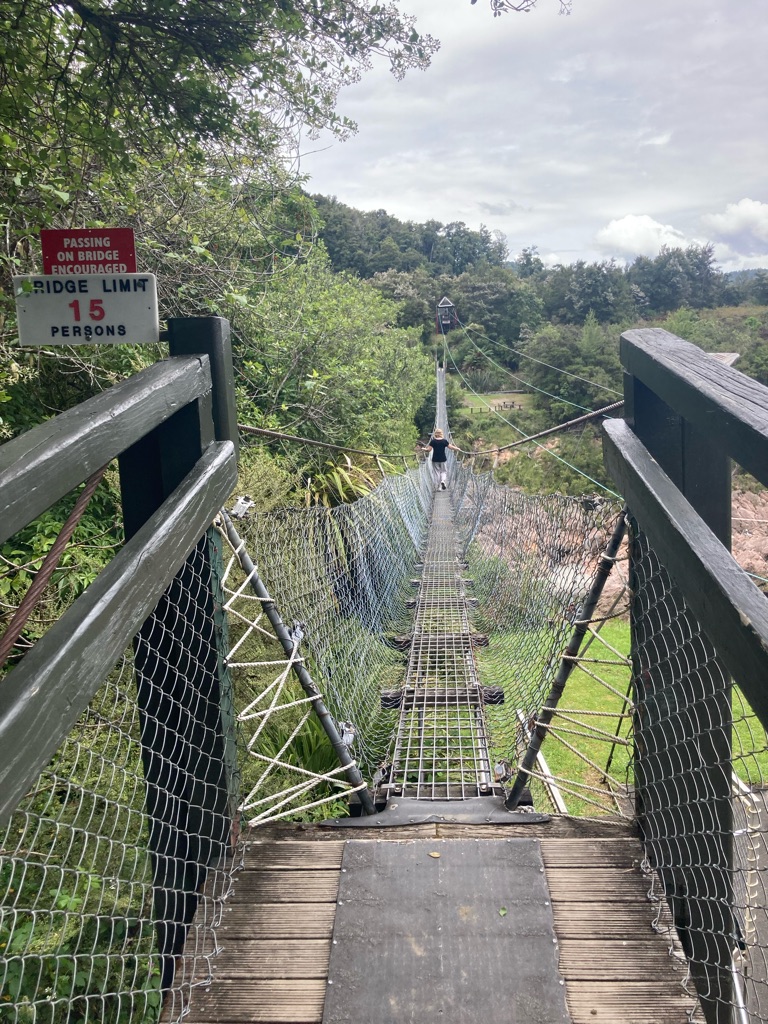
It was $10 for entry, and you got to walk over a cable footbridge spanning the river. That would probably be enough for me, no need for another $40 for 30 seconds of fun on the zipline!

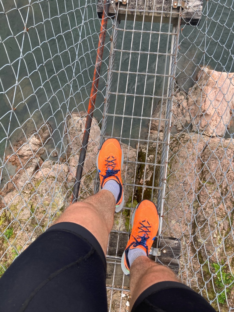
Walking over the zipline (carefully holding my phone!):-

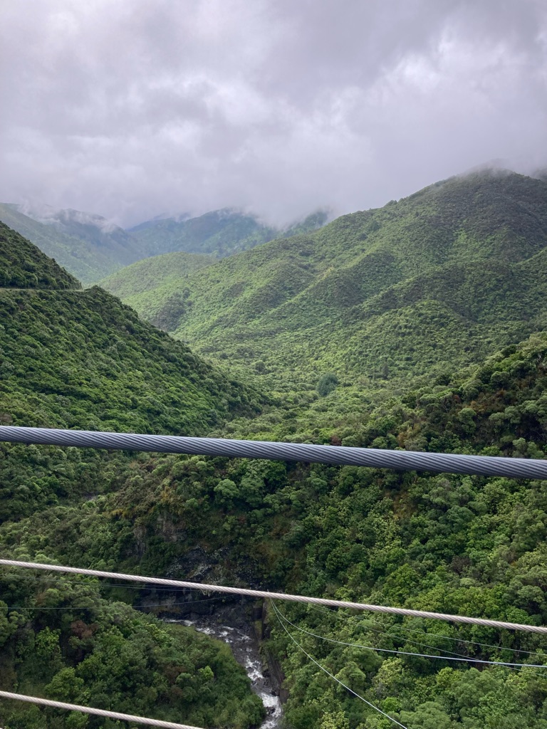
View from the bridge:-

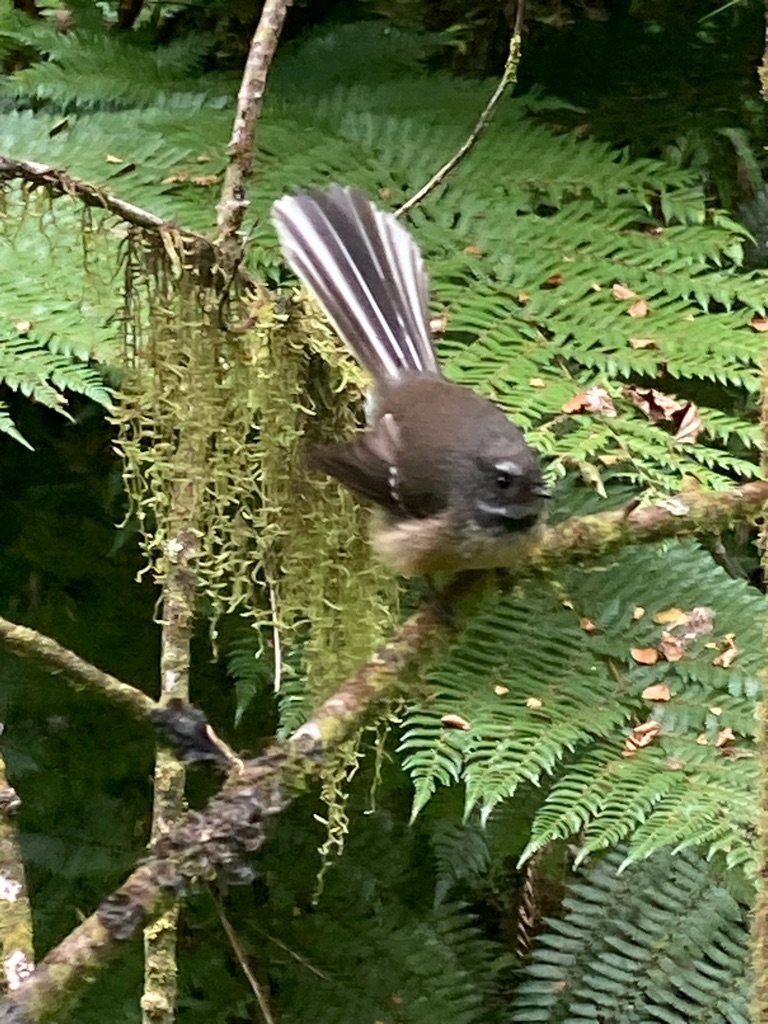
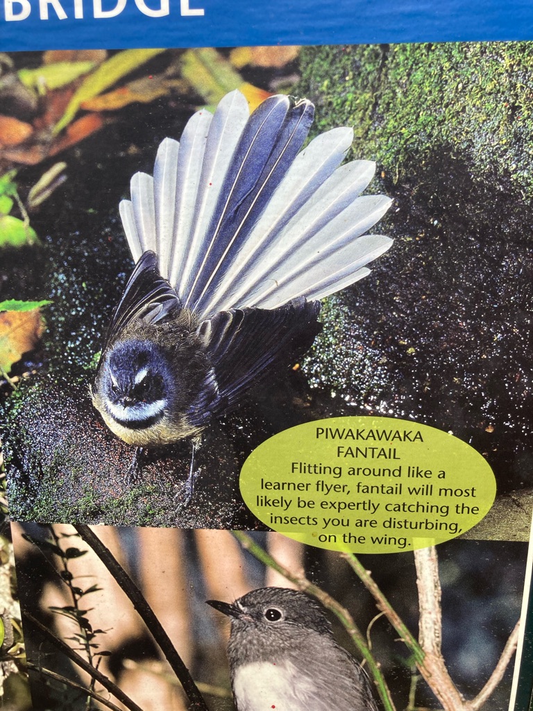
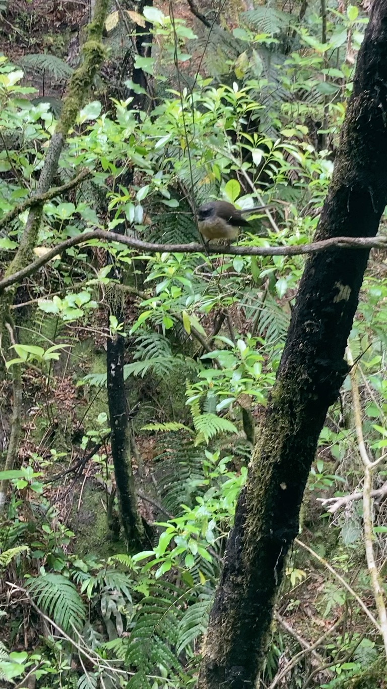
On the other side of the bridge there was a nature trail, which also encompassed some old gold mine workings - the reason the bridge was there in the first place. I managed to get some decent pictures of a bird, which I later identified as a Piwakawaka / Fantail using an information board.

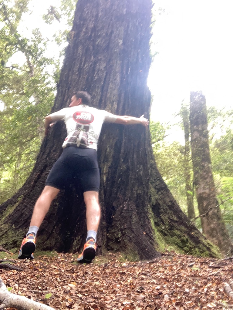
The map also highlighted a ‘giant tree’ to visit. I’m a fan of giant trees so thought I’d go for a look. I thought I’d found it and took a couple of photos with it, only to discover the real one another few hundred metres down the track!

At one with nature, and a not so giant tree

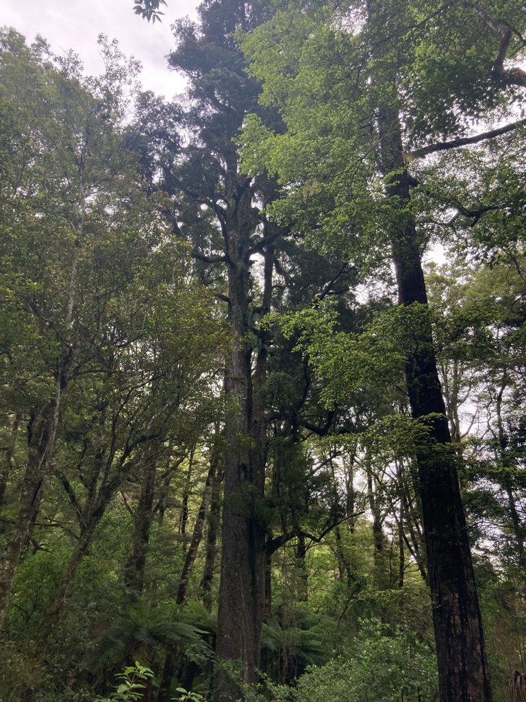
I found the real giant tree a little later. It is a kahikatea / white pine. This one took 300+ years to grow. This type of tree doesn’t have resin so used to be used to make boxes for produce such as butter and fruit as it wouldn’t taint them, unfortunately meaning that a lot of them were cut down.

Old miners cabin:-

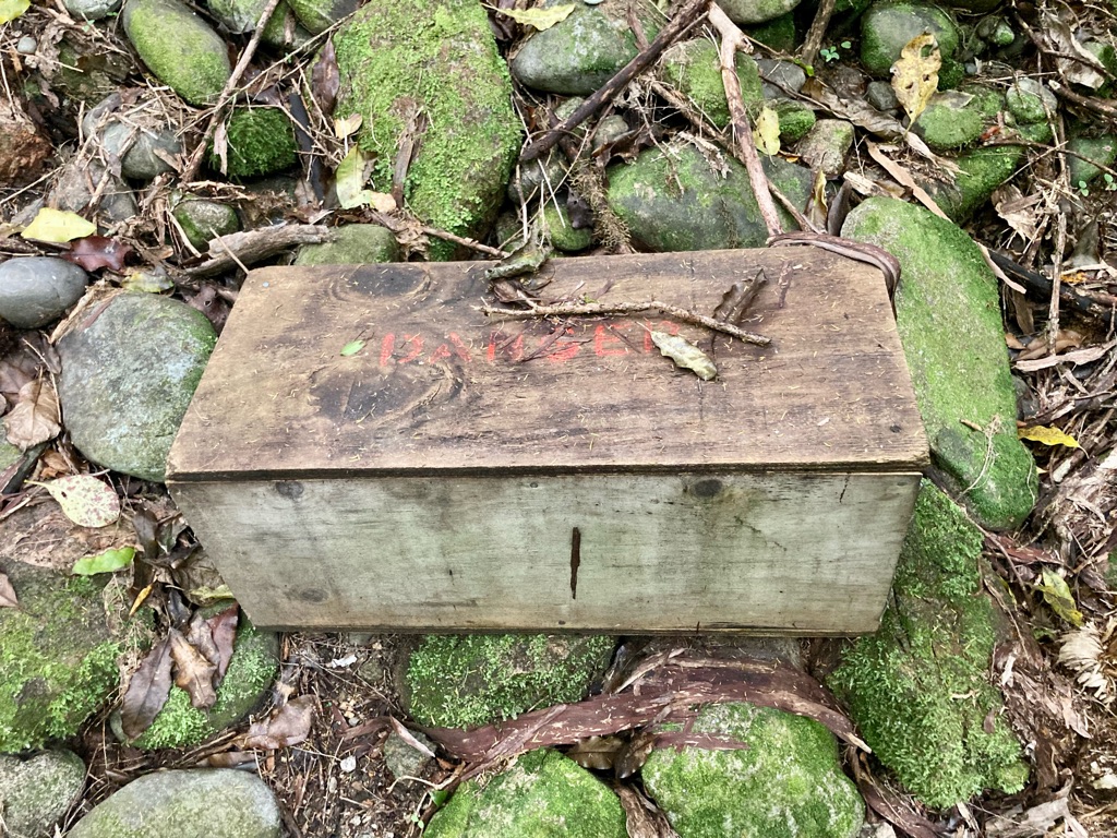
A box marked ‘danger’. Couldn’t resist a look. I think it was an animal trap.

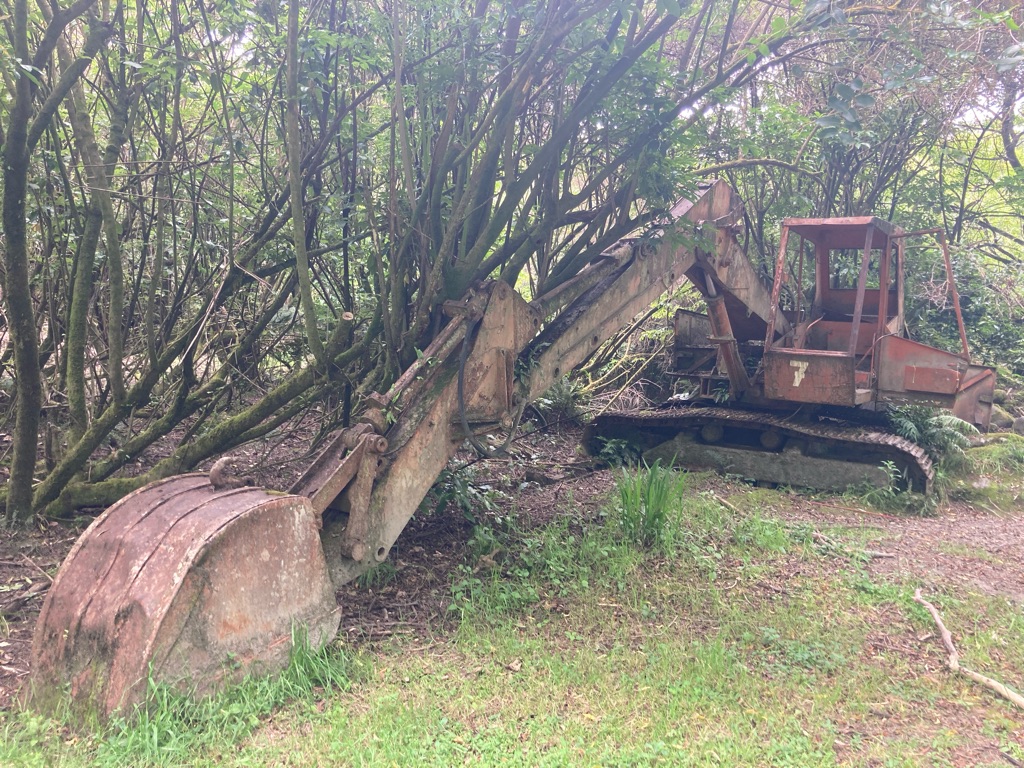
Digger. Not sure that was there in the 1860’s gold rush! I felt obligated to get in the cab, though jumping out of it was a little tough on my poor legs!

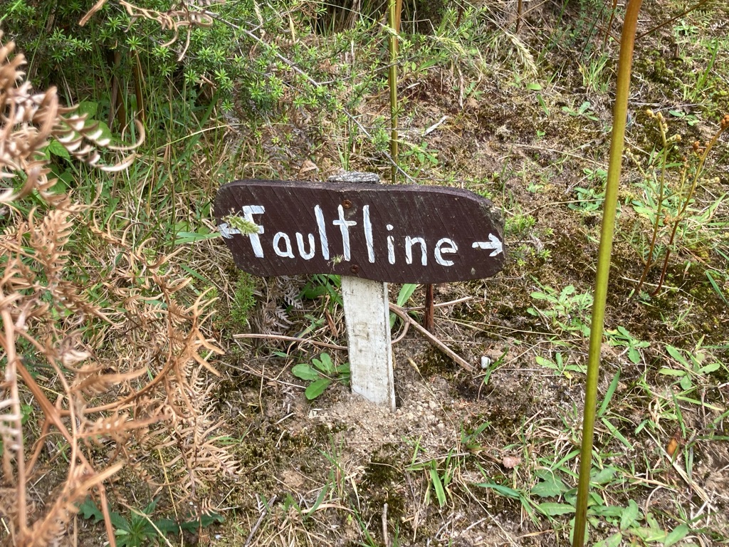
The site was also crossed by the fault line of a huge earthquake on 17th June 1929 - 7.8 on the Richter Scale. The ground moved 4.5 metres. For some reason they marked it with this tiny sign!

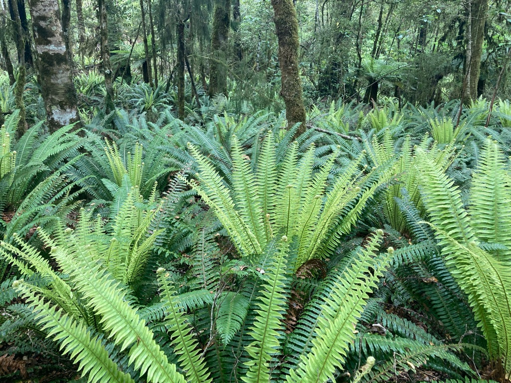
There were a lot of crown ferns (piupiu). Very New Zealand! Apparently the two tone green colouration is because the leafy green fronds are sterile. Māori used to boil the leaves and eat them.

I got going again after about 75 minutes - probably a bit longer than I’d planned stay, but I had enjoyed myself there. Plus, the early start had bought me some time. It was probably only 10 more miles to Murchison where I could get lunch in one of the many cafes on the map.

A few miles down the road, I spotted my first fellow cycle tourist, riding in the opposite direction. I pulled up to say hello. In fact, I used the Yorkshire greeting “Now then”, followed by the New Zealand “how are ya goin’”. Not sure where that came from!!

We had a chat for 2 minutes across the road. He was surprised how far I’d been in the day - though he was in his 70’s , so fair play to that. Maybe that’ll be me one day (along with my aspiration to be like the V80 runner I saw at Kilnsey Show Fell Race this summer!). He’d been riding in NZ for two months and had another one to go - lots of time, though he didn’t seem to want to hang around too much, so we said our goodbyes and he headed off towards the swingbridge. As he rode off, I realised I hadn’t asked him his name or where he was from. I guess I’ll never know - in contrast to my hostel buddies David and Line from last night!

There were some good views of the river on the way into Murchison. I stopped after one particularly impressive view from a bridge to go back and get some photos.

I got to Murchison at 1330. There were almost too many cafes to choose from! I decided on the River Cafe. It had a bike hanging on the wall, so seemed like the place for me! Not sure how it’d fare in the hills here…it needs some tires at the very least!

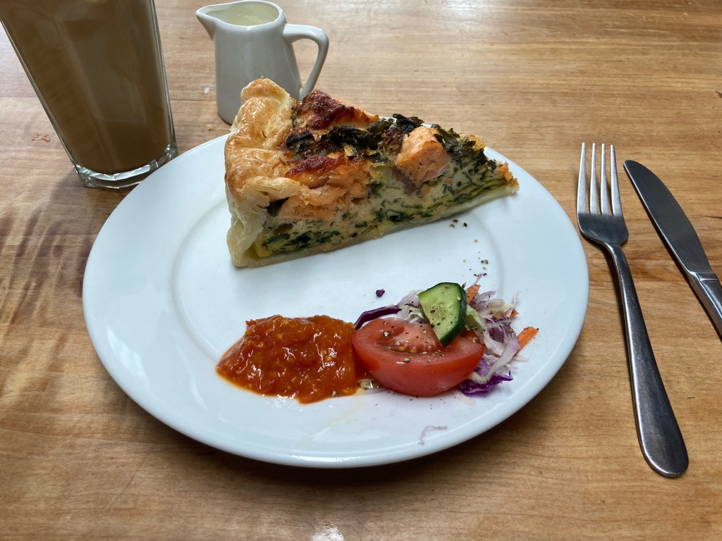
I got a great piece of salmon quiche - unlike last night’s salmon effort, I could see what I was getting before buying! I got an iced coffee too, which came with a jug of cream, which I converted into an approximation of a milkshake by mixing with water and sugar after I’d finished the coffee. The only downside of the cafe was they didn’t want customers to use their power to charge phones, so I used my battery pack instead.

I spent over an hour in the cafe - I wanted a rest, and also I needed to plan where to cycle to next. Hu Ha bikepackers hadn’t replied to my email, so I wasn’t sure if I’d be able to stay at it. From googling, it wasn’t entirely clear if there were cheap options available either - it looked like a farmstay with some expensive rooms (not sure why it was called ‘bikepackers’ though!). The other option was the allegedly sandfly infested campsite, Kawatiri Junction Camping Ground, which was 6 miles short of Hu Ha. It is a DOC (NZ Department of Conservation) maintained campsite - cheap ($10) but with minimal facilities. This one had a toilet and the water supply appeared to be the adjacent river. The DOC webpage for the campground advised bringing insect repellent!

I wasn’t quite sure what to do. I didn’t want to get to Hu Ha and get turned away - I’d probably have to turn around and go 6 miles back down the hill to Kawatiri! Budget campsite it was then. Besides - what would make for a better story in years to come? A comfy night in an expensive farmstay, or epic tales of fighting off swarms of sandflies the size of your palm, honest!

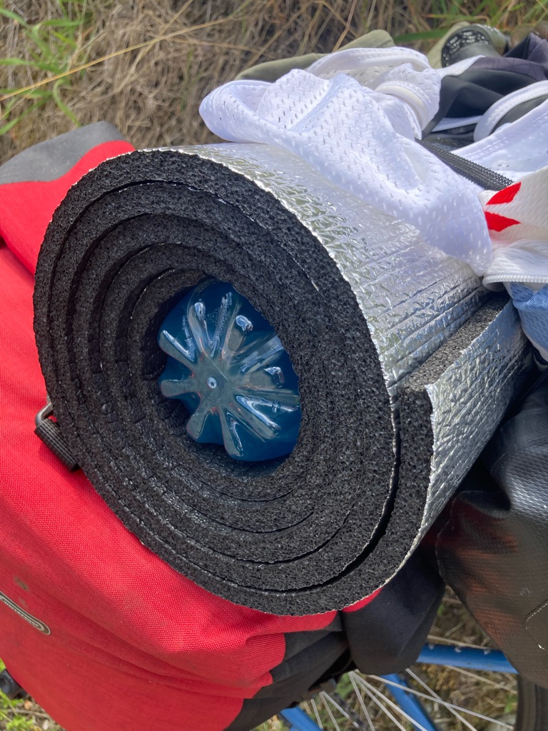
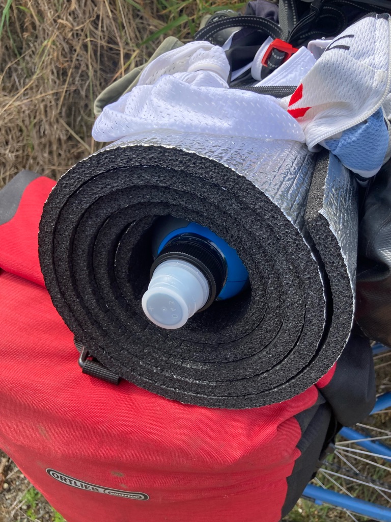
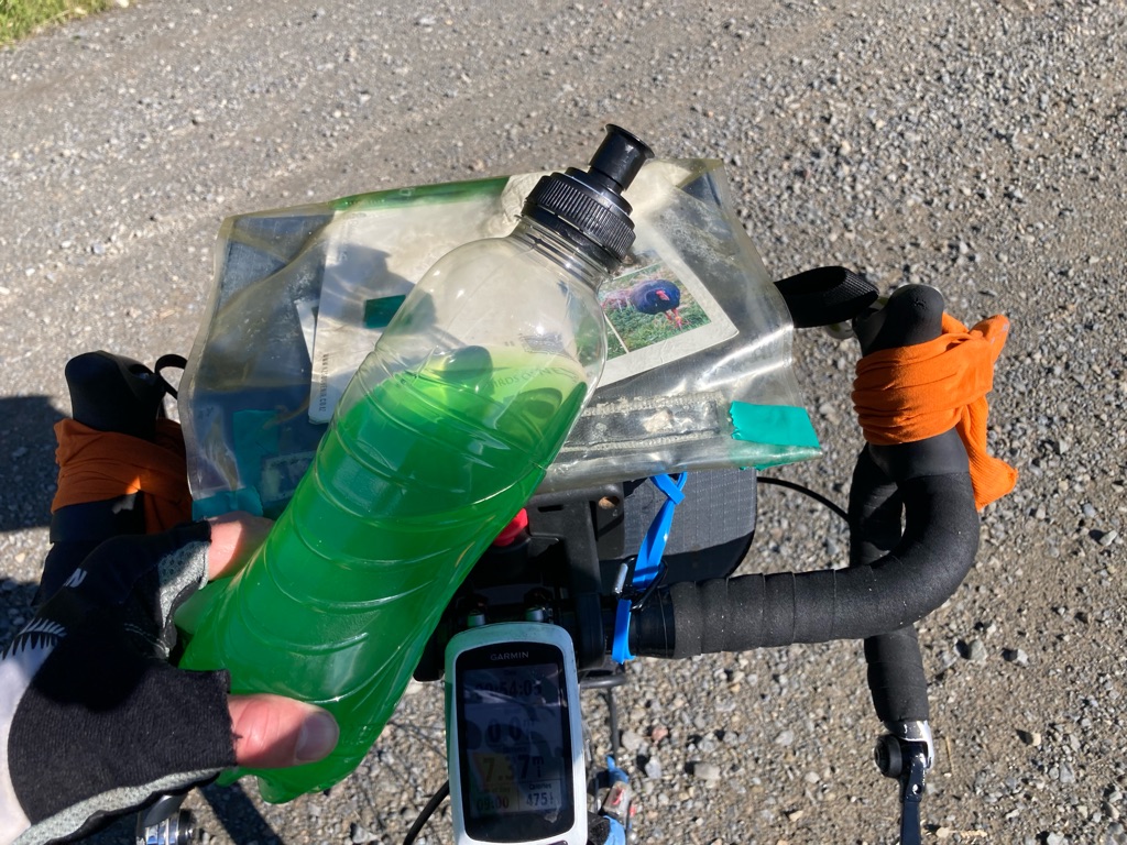
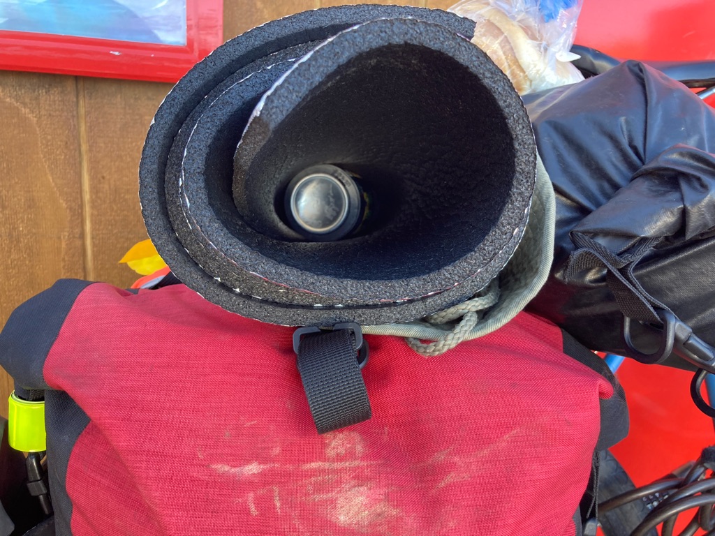
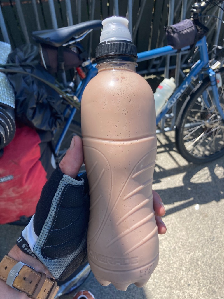
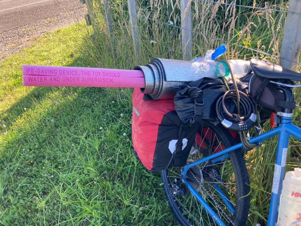
I headed to the Murchison supermarket. I was keen to avoid relying on river water to drink, so I’d need to buy some extra fluids. The cheapest thing on offer was 1.5L of sparking water, for $1.79. I also got a 750ml bottle of Powerade. 1L of Gatorade was the same price - however I already had another 750ml Powerade bottle, which I’d been carrying inside my roll mat on the back of the bike. I’d be able to fit in two bottles of the same diameter. So a matching set of Powerade bottles it was.

I’d drunk over 2L at the cafe, and filled my water bottles. I now had 1.5L soda water, two 750ml Powerade bottles, and my two bike water bottles (1.7 L between them). So, I’d have 4.7 litres to ride to the campsite (20 miles), my stay overnight and for the ride the next morning to the next place I could get water (probably another 20 miles). Probably enough. If the worst came to it, I could stop at a farm, use the river water (I have some sterilisation tablets), or even flag a car down and get a lift (embarrassing of course!).

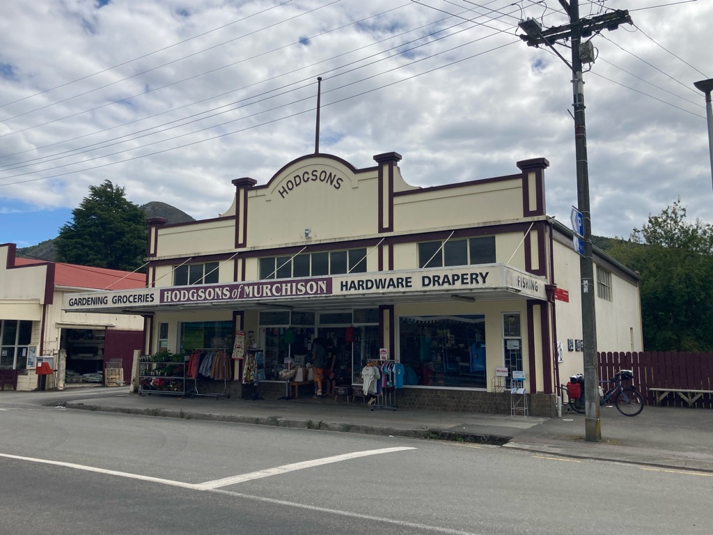
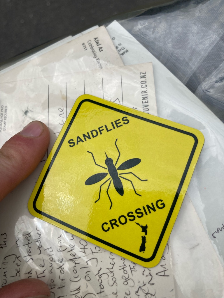
Over the road, there was “Hodgson’s Of Muchison”, a hardware store, so I went in to get some superglue for a little repair I needed to make. The store had some lovely NZ souvenirs and ‘Kiwiana’ - I was sorry I didn’t have space to carry much with me (not to mention the 4.7 kg of water!) - I could have got some lovely gifts. However, I couldn’t respite a ‘sandfly crossing’ magnet - the perfect memento for my upcoming camping adventure!

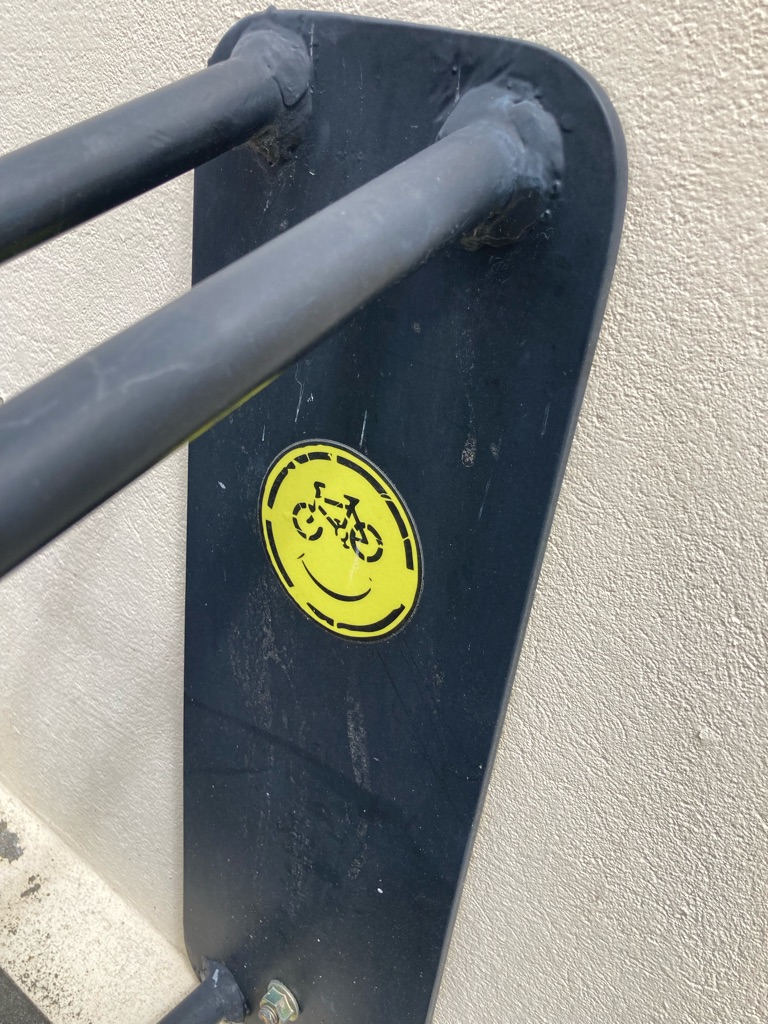
I was ready to go at 1530. I wasn’t sure if there’d be mobile internet coverage for the next part of my journey, so I messaged my nearest and dearest saying where I’d be staying and not to worry if they couldn’t reach me. I also messaged Toby at Ngatimoti, who had offered me a place to stay tomorrow night - my trip was on track, and I’d be there on time, all being well. As I unlocked the bike, I noticed a cycling themed smiley face sticker - whoever put that there raised a smile from me!

The GPS said 22 miles to the campsite. I decided that I’d take it steady, and planned a stop halfway. I didn’t need to rush - even if I took 3 hours I’d be there by 1830, with hours of light left.

I passed several campsites and motels on the way out of Murchison. Hopefully passing them by wouldn’t prove to be a mistake! I knew I needed to get more miles in today though, otherwise I’d have a huge day tomorrow. Sometimes these things just have to be done!

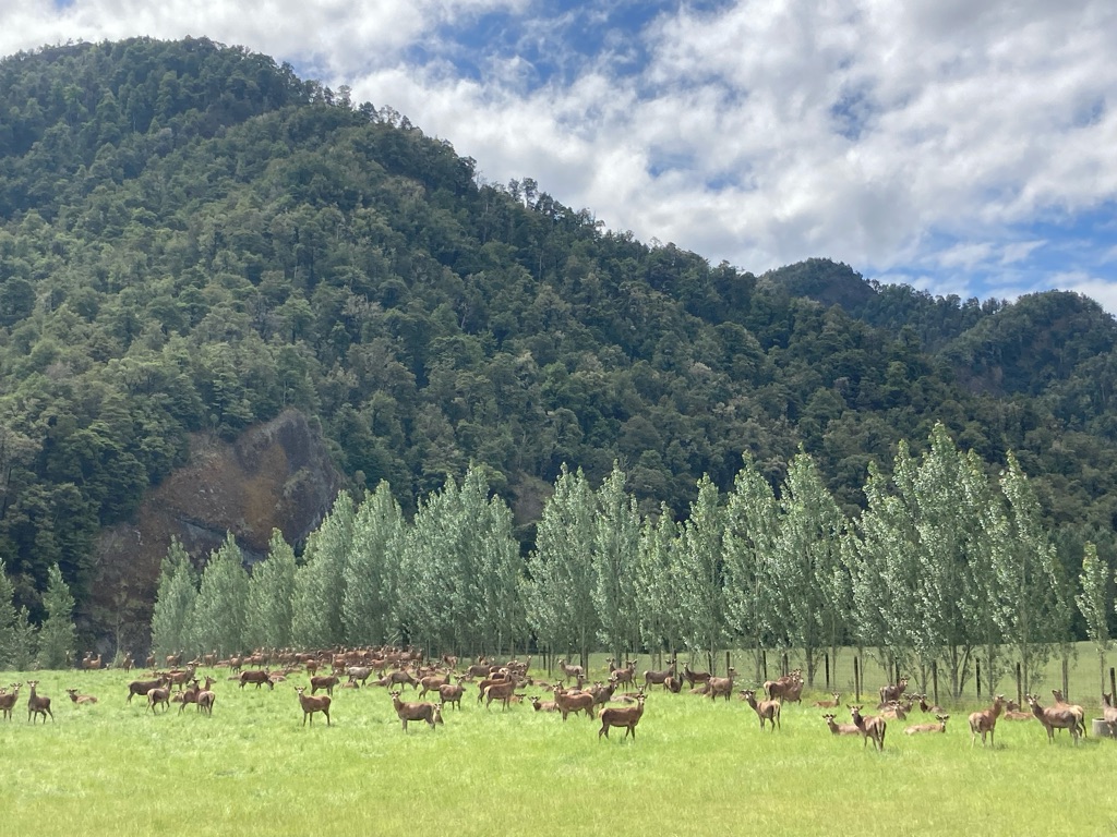
A field of deer:-

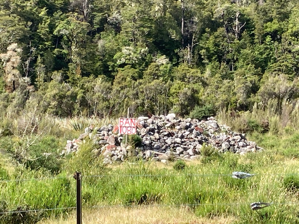
Pleasingly, my legs and knees felt OK! Strange how the knee pain comes and goes. Though I suppose I’d just had a 2 hour break! I got a few interesting photos on the way - ‘ban 1080’ was protesting the use of a poison used for pest control. Perhaps another reason to avoid the river water?! I also saw a road notice display sign - ‘Highway 6 closed at RIA VALLEY , reopens 18th December’. Was that the same as the Nelson to Picton Road? Perhaps my trailer-towing friend from yesterday was right. I’d have to look into it - it’ll be better to ride to Picton instead of getting the bus if I can.

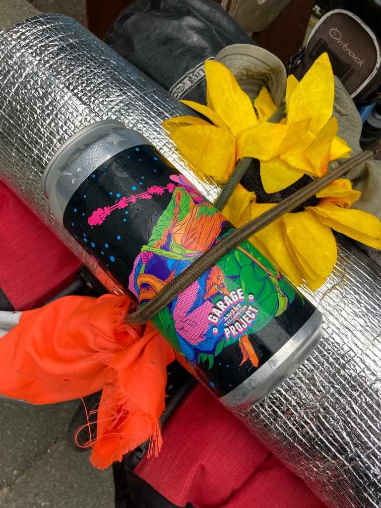
I stopped with 10 miles to go. It was a bit of a dull place, just at the side of the road with a bit of shade, enough space to be out of the way of the traffic, and a handy ledge to lean the bike against. I decided to have some Powerade - to my delight it was still cold, insulted by the shiny roll mat! It was a bit tricky to pull the bottle out from the middle of the mat by its base - I discovered a ‘pro tip’ to put it back in with the neck facing outwards, giving something to grip next time. Nice that the bottle has a cap to keep road dirt off it too, let’s pretend I bought it on purpose for that reason too ;)

I got chased by flies at this stop, so I repeated my walking up and down ‘resting’ to keep them off. I decided to apply some more DEET. As I grimly anointed it onto my face, I recalled the scene from Dune I’d watched on the planeto NZ, with the sardukar warriors daubing their faces with the blood of their enemies.. Bloody hell, all very morbid, where did that come from!? If anyone’s blood was going anywhere soon, I fear it would be mine into the bellies of sandflies!

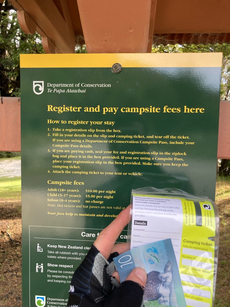
I arrived at the campsite at 1800. Over 1000m climb today, and 5 hours on the bike, not too shabby! I read the instructions on how to pay (required before setting up camp) - this entailed filling in a form, putting it in an envelope with cash, and putting it in a box - and set about choosing where to pitch.

It looked nice down by the river, and the ground was flat, but surely there’d be more flies there? I chose a flat-ish spot under a tree. There were lots of fallen twigs, so I cleared them out of the way to look after my long suffering ground sheet. There was a little bit of wind, perhaps keeping the flies at bay a bit - it didn’t seem too bad given the reviews I’d read about the site. However, as I set to work getting the tent up, I noticed more and more insects flying around me. Fortunately they weren’t as aggressive as the sandflies I’d previously encountered - they were more like gnats. I kept moving which mostly kept them off. A little like the ‘sand dance’ from Dune, I suppose!

As I worked on my tent, a lady approached me. She was a walker from Germany, and was also going to stay at the campsite too. Tanya and I chatted a bit about avoiding the bad European weather at this time of year, but I got the sense she was a bit distracted. It transpired that her phone had run out of battery, so I lent her my power bank - I have 2 with me after all, and it’s got capacity to charge my phone 3 or 4 times over. Also I wanted to stop chatting, because it entailed standing still and the gnats were getting me!

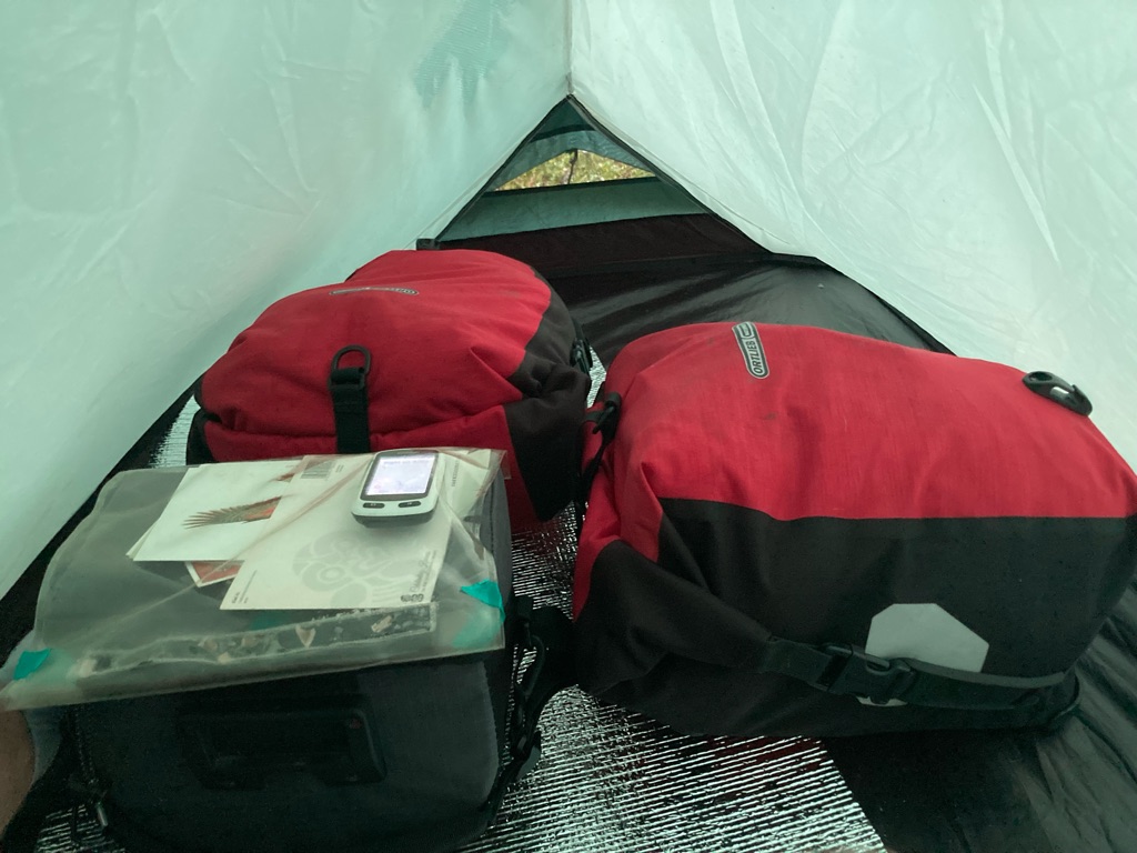
I got the tent up - wonderful soft soil, so easy for getting the pegs in. I decided I’d put the panniers inside the tent as sort my kit out inside it, out of the reach of biting things. In the process of getting myself and the kit in, several flies accompanied me. What followed can only be described as an insect massacre! Just like starship troopers. I squashed at least 30 before I stopped counting. No bites though! Ha! No more flies will be able to get inside until I next unzip the tent. “Thou shall not pass”, no magic staff required!

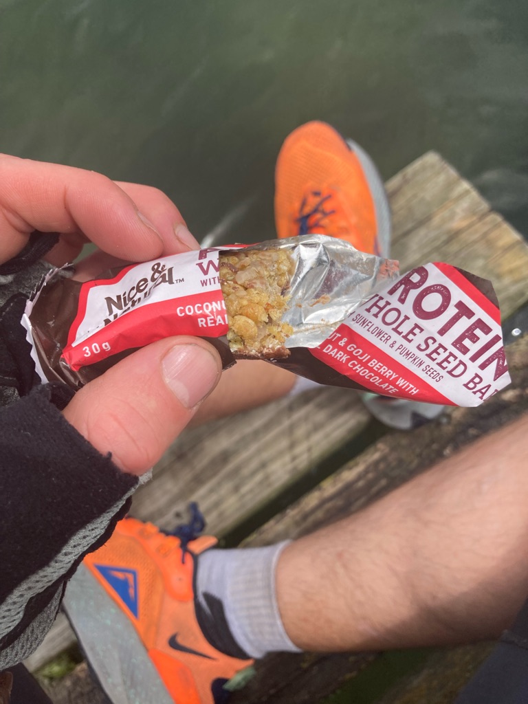
It was now about 7pm. Hand sanitizer was the first thing, after picking all of the sticks off the ground, and squashing the flies. It was lemon scented, so I pretended to myself it would have some citronella-like insect repellent effect. Then I ate some food - scone number three out of the four I’d bought in Greymouth, some excellent cereal bars I’d got in Murchison (NZ seems to do these far better than the UK, my favourite brand so far is “Nice and Natural”), and the last of the peanut&raisin trail mix I’d bought back in Christchurch. They came in a sturdy resealable bag, so I transferred some other sweets in to it - waste not want not! I finished the Powerade off, and had a little water. 3.7 L of liquid left, no problem.

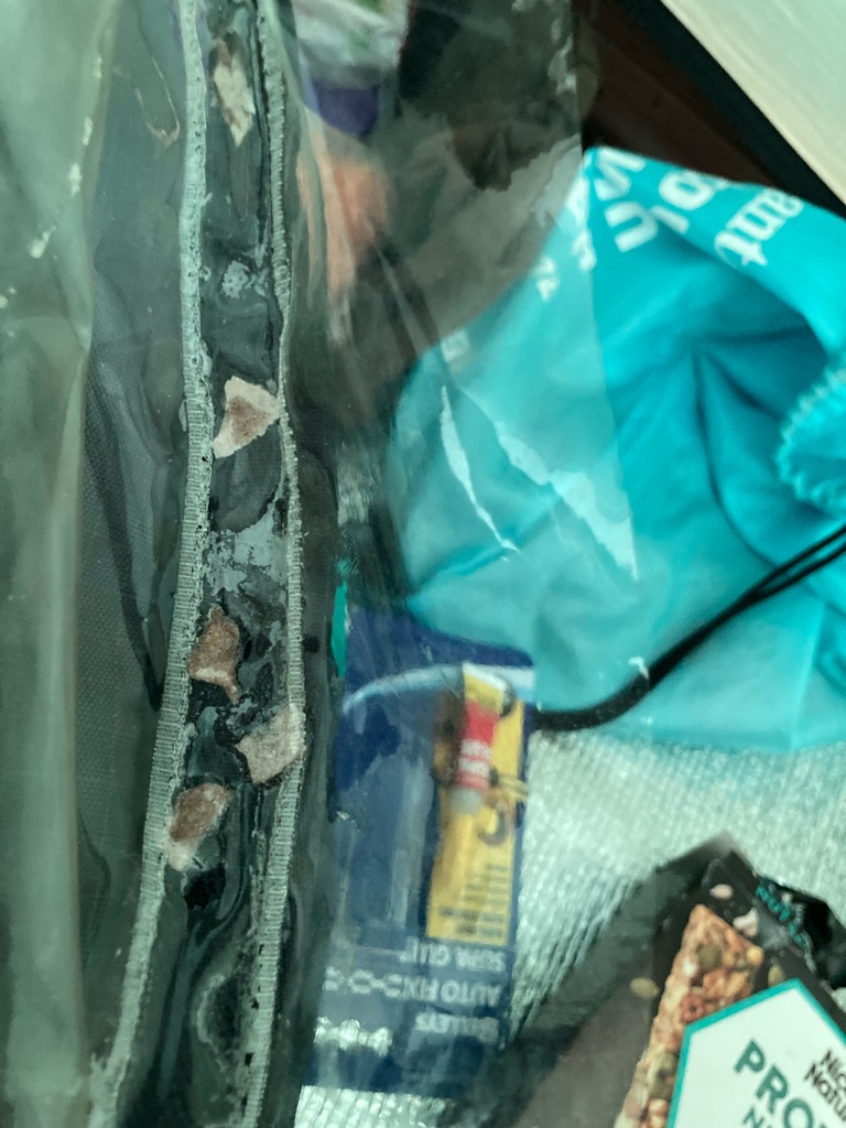
Now it was time for my superglue repair. My handlebar bag has a transparent map case that is sealed by a long velcro strip. The Velcro had detached from the clear plastic, so I couldn’t close it. It’s a really useful space to store things, and waterproof, so perhaps a good place to keep the no-longer-waterproof GPS if it comes to it. So, I really wanted to be able to fix it! Unfortunately, the glue wouldn’t bind the Velcro to the plastic - I guess because they are both quite hydrophobic materials and superglue binds by using water that’s on the surface of things (my materials science degree was useful then…). Hmm, what to do…I tore up some thin slivers of cardboard from the cereal box, and used them as shims between the Velcro and the plastic. This seemed to work, somehow! Hopefully if I’m careful with it it’ll stay together.

My repair attempt:-

Inspecting more hideous tan lines:-

At 2130 it was dark, but Tanya hadn’t given me my power bank back. I felt a bit grumpy, I didn’t want to get out of the tent and let flies in in the process of going to collect it! I’d quite like to charge my own phone now though - and I wanted to leave early in the morning if I could. I put on my trosuers and long sleeved top, pulled my hood up, and headed out. Mercifully there weren’t any flies about. My head torch announced my presence - it is rather bright! Tanya had fallen asleep - fair enough, sounded like a big day of walking.

I spent a bit more time on the blog as the phone charged. This day’s entry is a bit of epic one eh! I’d made some notes and written some of it during the day too, so I was done writing fairly quickly - not enough internet to upload it, but that can wait. I reflected on the day - what a lot of things I’d covered! Got some decent miles in, learnt some things, eaten some good food, and been a bit resourceful. I wonder what will be around the corner tomorrow!

Distance: 63 miles

Ascent: 1030m

11
Ngatimoti School

A Hop Down To Ngatimoti

I had a fitful night of sleep. I’m sure I got some, but definitely spent a long time awake. Kawatiri Junction campground was very close to a road, and there was occasional traffic through the night, mainly sounding like big trucks. Their headlights lit up the tent. I could hear some interesting bird/wildlife noises too - should have recorded some really. There was some light rain for a few hours - I wasn’t worried though, the tent had help up well, and I was sheltered a bit by a tree.

At about 3.30 or 4am I decide I’m a bit thirsty (maybe I didn’t drink enough yesterday?) so have a drink and a snack. ‘Midnight feast’ in the tent, all very Famous Five or Secret Seven. No pemmican for me though (I’m still not quite sure what that is? I imagine something like corned beef) - or was it ‘Swallows and Amazons’ where they ate that? No chums or Timmy the dog to accompany me though. What would I be - “The Odd One” probably. Actually more like “The Young Ones” with my current level of cleanliness!

At about 5.15 the pre-dawn chorus was in full swing. Here’s a recording - birds, the rain and traffic, which sums up the experience of the tent that night pretty well I think!

I lie on my back for a bit. I’ve never been able to sleep on my back, but the ground feels pretty hard, and lying on my side hurts my hips and shoulders. Suddenly it’s 7 am, and my alarm wakes me up! Perhaps I need to work on sleeping on my back - allegedly the best was to sleep for your posture. Mine is terrible anyway, and I’m sure not being helped by my stretched out riding position on the bike. I could hear it was still raining outside the tent. The internet service on my phone was just about good enough to get a weather forecast - rain until 1400 in Murchison down the road, so I guessed similar here. No point hoping it might stop soon then, I’d have to get on and pack up in the rain. Lucky all my kit was inside the tent, out of reach of any precipitation. So much easier to pack into dry panniers. Maybe the rain would keep the flies off too, once I got outside…? I drank the rest of a water bottle. I now had 2.2L left - the 1.5L fizzy soda water bottle, and my other bike bottle. All good. Breakfast was a couple of cereal bars and some cookie bites that I’d bought the day before. Hardly the breakfast of champions, but so it goes…

I considered not putting sun cream on. It was raining after all, and a faff sitting down inside the tent. I did want to do the insides of my elbows though, just to ensure their complete recovery. Once I’d done that, I figured I might as well do the rest of me, since I’ve started. A bit of a mind hack there I suppose.

Now I had to make a decision of some consequence - what to do with the GPS, given all of the rain today. I have a waterproof Tupperware box, and it’d be safe in that inside a pannier for sure…but I wouldn’t be able to use it there. I decided to try putting it inside my superglue-repaired map case, which is waterproof. I folded over some tape and used it to stick the GPS onto the back of a postcard, so that it couldn’t slide about inside the map case. I was very surprised indeed to find that the GPS’s touch screen worked through the map case - that was a bonus! I packed the last of my stuff into the panniers, and put my waterproof jacket on, ready to venture outside.

A water free home for the GPS (I hope…)

All packed!

I opened the tent door a little, to see how the rain was. I was pleased to get a photo of a log truck passing on the highway - have seen a lot of these and had wanted to get a decent picture:-

Now it was time to take the tent down. I wanted to keep the inside as dry as possible. As I moved around the tent taking the pegs out, a cheeky weka bird came and investigated my panniers - presumably it could smell my food? It would have been a great photo, but I didn’t want to stop and get my phone out in the rain. I managed to take the tent poles out keeping the fly sheet in place over the inner to keep it dry. I folded the edges of the the inner onto itself, so that the groundsheet faced outwards. The green flysheet was still on the top, pooling water as the rain fell onto it. I picked up one end and began to roll the flysheet and inner up together, and the water slid off it. I could see the inner was still dry! I was very pleased with myself - I felt like I’d just completed a piece of performative art (perhaps to match the rain dance that someone else had clearly completed…).

I was ready to go at 0840. I was glad I’d got my powerbank back last night, as there was nothing happening over at Tanya’s tent. I set off into the rain - Apple Maps said 48 miles to Ngatimoti, perhaps four legs of 12 miles would be the way to spilt the day up? The waterproof did its job. I’ve said it before, but it was great to have the hood on under my helmet, with its wired peak making a little rain visor for me.

My first obstacle would be Hope Saddle, 8.5 miles down the road, and 624m high. I wondered how steep the ascent would be. The road was fairly flat for the first 6 or 7 miles. I passed Hu Ha - no sign of ‘bike packing’ on their sign, so I reckon I probably would have been disappointed if I’d tried to stay there last night.

The rain kept falling, although it wasn’t too heavy, and the wind was low. There were a lot of trucks about - petrol tankers, wood trucks, goods lorries, many of them with 2 or 3 sections. The road had a wide shoulder so I could keep well out of the way. The climb up Hope Saddle started quite soon after Hu Ha. I took it steady - my knees were feeling OK and I wanted it to stay that way! Apparently the views from Hope Saddle Lookout are fantastic - but it wasn’t to be for me today, sadly! A good excuse for a 10 min break and a snack though.

The ‘view’ from Hope Saddle

The descent from Hope Saddle started off with a lot of switchbacks/hairpins. I didn’t channel my inner Lance Armstrong on this downhill - for me, it was \240all about going slow and steady in the wet, keeping at the side to avoid the trucks. I rode with my hands in the drops covering the brakes. The disc brakes worked very well, certainly better than the cantilever ones on my own bike would have fared in these conditions.

The road soon straightened out, but the descending continued. I was going at a great pace, after the slow ascent. My jacket fluttered as the air rushed past, doing a good job at keeping me warm. Good stuff, Alpkit! The rain let up a bit after a while, and I could smell something slightly sweet and bitter in the air. Eventually I figured it out - fields of hops. Necessary to make all of those hoppy New Zealand Pale Ales, of course! I idly thought that given all this rain, it seemed rather wet for hop growing - in the UK they grow in the South of England (eg Kent) but not the North, leading to different styles of beer (all about mildly/unhopped Northern bitters for me!). What do I know about agriculture though. Maybe it’s the temperature and not the water that’s key for hops. Or the fact that there is a lot of sunlight regardless of the rain. \240I’d better do more beer research whilst I’m here…all in the name of science, obviously!

I knew from my map research that was a cafe 20-something miles up the road from where I’d started. I’d almost been riding for 2 hours, and got past the 20 mile mark (thanks GPS!) so needed to stop soon. Just after 24 miles I reached Kohatu Flat Rock Cafe. I was pretty wet, so I took my waterproof and gloves off outside and shook them off before entering. I spied a table next to an electrical socket by the door, so went for that one. The menu looked great, in the end I ordered their small cooked breakfast, which included a choice of eggs (scrambled for me today) and home made focaccia, which I was very keen to try. I ordered and checked that it was OK for me to use the power.

My food arrived in 5 minutes and looked absolutely fantastic. I’m not always one for getting bacon (or cooked breakfasts really), but was happy with my choice after this morning’s soaking ride. It was nice and warm too!

As got halfway through it, I wondered if it was actually my order. It had an omelette (not scrambled eggs), and where was the focaccia? There was no one else in the cafe though, so never mind. I’d made good time, and only had 24 more miles to cover to Ngatimoti. It was 1145, so I decided I’d stay a while longer to do some internet admin and upload the blog now that I had decent phone signal. I thought I’d better order a drink to justify my continued presence. I casually asked about the missing focaccia, and it turned out they’d forgotten. Shortly, I had that to go along with my newly acquired mocha. The drink came with a ‘Jaffa’ sweet too - a sort of orange flavoured crispy sugar shell that covers a sphere of chocolate. A New Zealand favourite by all accounts.

I also took some time to read some more of Toby and Kate’s blog - WWW.crazyguyonabike.com/tobyandkate . I’d got in touch with them through Warm Showers, a sort of ‘couch surfing for cycle tourists’, and they’d kindly offered to let me stay at their place in Ngatimoti tonight. I was really looking forward to meeting them - their blog describes cycling trips through places like Indonesia, Uzbekistan and Iran, on an epic ride they took from NZ to the UK that lasted two years!

I felt I’d stayed my welcome at the cafe by 1300, so it was time to go. I’d like to think a sodden cyclist sitting in the corner adds to the atmosphere, but I suspect not everyone would agree! I left highway 6, which continues on to Nelson, and took the Motueka Valley Highway, heading North towards the coast.

My knees were Ok, but I really felt the hard bike seat as I set off, perhaps due to my rainwater soaked shorts. I rode out of the saddle for a while to get started. The road paralleled the river, and was generally gently downhill, which made things easier. The rain came and went, but was generally light. The hills to either side of the river valley were covered with misty clouds, making them look like they were steaming.

I got to Tapawera, a little town. It seemed like a lovey little community, with a school, a library and shops stretching along the street. I think I even saw a rugby club. There was a “Four Square” supermarket - perhaps I’d nip in and stock up on supplies. As I locked the bike up, I spotted “The Hop Inn Garden Bar”, complete with bottle shop. Maybe this was worth a look - beer made with the local hops I guessed? Perhaps I could get a gift for Toby and Kate - I didn’t want to turn up empty handed.

I head in, and tell the proprietor I’m looking for a gift. Dressed in cycling kit and a rain jacket, I clearly look like a tourist. “Well, we have these lovely vegan wines, which come with a nice gift bag”. Im sorry to say that that wine is generally wasted on me, and my eyes turn to the beer pumps on the wall instead. What are those like, I enquire? They can fill a bottle up with my choice. “Have you ever tried a dark beer?”. I’m not sure about one like this, I think so? The perfect saleswoman, the attendant pulls me a little sample of each one! Well, I’ve got to adhere to my maxim of keeping hydrated whilst riding… “The bottle is reusable, so your friends can come and get it refilled again, it’s the perfect gift really”. More selling skills, you have to admire them - although there was no real need, I was already decided! I bungee my new 1L bottle of Dark Ale onto the bike. Hopefully the next 18 miles won’t shake it up too much!

I carry on down the road. The rain has stopped, and I’m getting warm, so I loosen my helmet and slip my jacket hood off of my head whilst I ride. It’s nice meandering alongside the river, still mainly downhill. I hope that beer is an OK gift - I think I recall a mention of Tony&Kate drinking Guinness in Dublin on their trip? I have a few photo stops as I ride on.

Good to see some NZ apple growing, I can tick that off the list:-

I didn’t stop here, perhaps I should have with all the sweat, sun cream, and general grimy-ness that’s in my life right now… though my bar of Dove is doing a fine job!

Christmas in New Zealand, complete with flock! (I didn’t stop for this photo initially, but after coming up with that pun half a mile down the road, I felt I had to turn around to go back and take a picture! It even entailed going uphill! The things I do for my readers…)

A NZ nativity scene!

I come to a steep ascent. It feels like the headwind is blowing straight down the hill into me, and I’m crawling up in my lowest gear at about 4 mph. The muscle in the outside of my left shin is stinging like and, I’d really like to take it out of the peddle strap to change position to ease it, but I think if I do that I’ll lose what little momentum I have up the hill. I realise I am riding with my eyes squeezed shut and my teeth gritted! I’m determined to get to the top without stopping. I count my peddle strokes, which morphs into counting my breaths. Not within the ‘normal range’ of breaths per minute, I’d say! Suddenly I’m at the top, and rewarded with a nice descent. This is how I like to spend my time on holiday…

I’ve seen a few cheerful sculptures like this made out of what appear to be old gas cylinders. My favourite so far has been one of yellow ‘minions’ near Greymouth, I regret not getting a photo of that one!

A few flowers:

The rain had completely stopped, and the good speed I reached on the downhill dried out my jersey and waterproof rather well. After another stop at the 40 mile mark, I eventually arrived at Ngatimoti at 1630, and navigated the last part of the route to Toby and Kate’s address using my phone.

Toby comes out to greet me. I hope I don’t look too disheveled! No need to worry though - he’s been a cycle tourer and Warm Showers host for a long time. He shows me a place to lock the bike up, and we head into the house. There’s a lovely guest room made up for me - the start of an evening of generosity! The house is very cool - lots of old wooden furniture, leafy green plants, and retro stuff. The guest room has a great collection of books, most of which are travel and/or bike related. Toby leaves me to have a shower and get cleaned up after the ride. He’s very relaxed about having a total stranger in is house - he goes out to take his dog, Oban, for a walk and leaves me to it! By 1715 I’m in my best (only) T-shirt and shorts, feeling like a new person. I give Toby the beer when he gets back - fortunately I’d guessed a good gift and it goes down well!

We chat about all sorts of things, mainly revolving around cycling trips, gear and travelling. Soon his partner Kate arrives home. We get into the beer. I learn from Toby that the hops I saw are called Motueka - after the valley. Toby cooks pizzas for dinner, and we spend a great evening talking about all sorts of stuff. Kate and Toby have cycled all sorts of places - their trip around Japan certainly gets me thinking about what my next trip could be… They give me a few tips for the rest of my NZ trip as well. We all turn in at about 2130. I spend a while on my phone - following Toby’s suggestions I’ve decided that I need to rebook my ferry to get an extra day in South Island and see more of Abel Tasman National Park!

I’m struck by how welcoming and generous Kate and Toby have been to me, putting me up for the night, giving me a great meal, and sharing inspiring stories. I aspire to be the same!

Distance: 49 miles

Ascent: 526m

12
Pohara Beach TOP 10 Holiday Park

Another big climb (Takaka Hill)

I woke up feeling well rested. I packed my kit - a quick job as I hadn’t needed to get much out. The tent was still packed away on my bike in Toby’s garage - \240I should probably have put it up last night to dry it out, but had forgotten. I had a great breakfast with Kate and Toby, including homemade jams on toast - damson, and grapefruit&lemon marmalade. There’s also fruit - plum apricot hybrids called ‘plumcots’- delicious! I also learnt that UK TV celebrity Noel Edmonds had recently moved to Ngatimoti and bought lots of properties, and established a restaurant called ‘The Venue’. I’d ridden past his coffee and ice cream shop yesterday- I guess I didn’t notice it for what it was, as there was no sign of Mr Blobby!

Toby gave me a route tip to go over a bridge onto west of the Motueka river valley. I also gave Toby and Kate another ‘gift’ of fizzy liquid in a bottle - not beer this time, but the $1.79 bottle of soda water I’d carried from Murchison. I didn’t need it any more, and didn’t want the extra weight. We said our goodbyes, and I got on the road at 0940, waterproof jacket on as it had started to rain again. The ride started off fairly easily, going gently downhill by the river as it flowed down to the sea. I saw lots of fruit and vegetable stalls by the road - apples, blueberries, hazelnuts, and more. There’s a reason one of the routes around here is called ‘The Taste Trail’!

Route for the day:-

My first waypoint was the town of Riwaka, 14 miles away. There was a cafe there, and I wanted to get some supplies to fuel my climb over the big hill on my route today. Kate had suggested I should go to camp at Pohara, due to its great beach, but there was an 800m high mountain pass in the way that I’d need to get over first.. I’d need some energy! Appropriately, I stopped in Riwaka at the \240“Little Dynamite” cafe and bought a ‘cronut’, a sort of muffin shaped thing made out of crossaint, filled with the custard you’d get inside a doughnut.

Cronut:

Little Dynamite didn’t have a toilet, but I wanted to use one. 500m down the road was ‘Mrs Smiths cafe’, which had one. I bought a “Belgium slice” there, which I saved to eat later on the ride.

Gentle climbing started as I exited Riwaka, which soon transitioned into switchbacks snaking up the hill. It was constantly upwards, but pretty steady with an even gradient. I got a couple of photos looking back down the valley, where I could see fields of fruits and trees with overhead netting to protect them from the sun.

At one point I saw a pretty big bird flying around the tops of the trees, I wonder if could have been a kea? It was too far away for a decent photo and I lost sight of it pretty quickly.

At about 450m in altitude, I reached the mist/cloud covering the higher parts of the hills I’d been riding towards. I noticed cars had headlights on now. \240However, due to all of the switchback bends they were all going pretty slowly, and the road had a wide shoulder that I could ride in, so it felt pretty safe. Surrounded by mist, there wasn’t much for me to see. I entertained myself with a feat of manual dexterity that I’m sure would rival the most ingenious kea - taking sweets out of their packet inside the handlebar bag with one hand as I rode along.

I wasn’t really sure where the top of the hill was, or how exactly high the summit was. After about an hour of constant climbing, at 1215, I had a break at “Hawkes Lookout”. I’d now covered 22 miles and climbed 670m according to the GPS. I ate my last date scone, surrounded by the mist. Just like at Hope Saddle the day before, this was not an ideal day to take in the view!

I got going again after 25 minutes of rest. It wasn’t that entertaining a stop with nothing to see, so I thought I should just crack on. Around the very next bend there was a sign that read ‘Ngarua Caves, 800m’. Hmm…that might have made for a more interesting stop than standing in the mist. There was a break in the clouds which gave me a chance to get a picture of the rock strewn landscape. I could see a sign marking the entrance to the caves, but I didn’t want to stop again after just having a break, so I carried on riding.

The sun was rather bright now, and I got quite hot. Since there wasn’t any rain or mist, I decided to take the GPS out of the waterproof map pocket so that I could \240see it better. The unit had got very hot - the map pocket is a real greenhouse! I remember my trip in Australia where I inadvertently “cooked” an mp3 player in it - I’ll have to be careful with the GPS in there.

It was a bit less steep after the caves, and after another 30 minutes, I got to the summit. A sign by the road said it was 791m high, the GPS said 811m.

From here, a very steep downhill began. There were some stunning views down the valley. I took a couple of stops to take photos, and also made sure that I didn’t get carried away and descend too fast. I rode with my hands in the drops, covering the brakes. I still hit 35mph a couple of times - I certainly did not want to go faster than that with bike&kit probably weighing the best part of 40kg!

The huge Takaka River Valley:-

The step descent ended at Upper Takaka, and the road straightened out. It was about another 10 miles to go to the town of Takaka, but there was still a headwind up the valley, and the going was really tough.

I took a break and att the “Belgian Slice” I had got at Mrs Smiths in Riwaka. It reminds me of a cherry Bakewell a little bit. I also sent an email to the Abel Tasman “Sea Shuttle” company - I’d seen they run a mini ferry service that goes back along the coast to near Motueka. They have trips tomorrow, and I think it’d be a little adventure to see the coastline from the ferry - but I don’t know if they’ll take my bike, so I needed to check before booking.

The remnants of the “Belgian”:-

I crawled along towards Takaka. The wind made it very hard, and I was quite tired. I’d seen there was a distillery in the town, which seemed like it might be interesting to check out (and get some free samples maybe?!). However, the main thing I wanted to do in Takaka is go to the supermarket- the campsite I’m going to in Pohara is a ‘Big Ten’ branded site, which will have a kitchen, so I can cook dinner.

As I arrived in Takaka, I spotted “The Quiet Revolution”, a bike shop. I went and had a look inside - always nice to have a chat on trips like this. The owner gave me some stickers from the shop - my kind of souvenir, very lightweight!! I’ll put them on my own bike when I get home.

Takaka has a very touristy/holiday vibe. There were lots of eco-themed cafes, galleries and so on.

One of many art galleries in Takaka

There was a post office too- the first one I’ve seen. That was really useful, as I needed to get some international stamps. I posted the cards I’d already written, and got more stamps for the other cards I’m yet to write. I eventually found ‘Dancing Sands’ distillery down an alley off the main road at 1605 - 5 minutes after it had closed. Oh well, never mind, it would probably have been very expensive anyway!

I missed this one out though, perhaps wrongly…

After a little expllloring,I headed to the supermarket. This one was a ‘Fresh Choice’ - not been to one of those yet. It was very large, and the produce looked very nice indeed. It was a shame I couldn’t carry that much. I attempted to get New Zealand things to try - for dinner tonight, and also for more snacks for riding. I bough ‘Afgans’ and ‘Lolly cake’, both of which I have seen in a lot of cafes. The pack of 6 Afgans is cheaper than the price for single ones I’ve seen in cafes! I bought yoghurt and an oven-cook pizza for tea - a bit boring, but I don’t want to make much effort.

It was another 5 miles to Pohara. I was not riding into the wind now, so it was considerably easier. The sun came out and I could see the sea! I arrived at about 1715 and booked onto the campsite ($30, but at least it had decent facilities). I’d ridden for 5 hours in total today, and covered just over 51 miles. 10mph average, how slow - due to that massive hill I guess! The campsite backed right onto the beach, and limestone cliffs towered up behind. It looked great. No need to worry about my slow riding speed any more!

I went to my allocated pitch and got the tent out. It was still wet, so I put up the frame and the inner, and pegged the flysheet out in the ground and left them to dry out in the sun. I checked my email - it was possible for the Sea Shuttle to carry the bike! However, I needed to call them to confirm, and it was now 1737. I phoned them up, and very luckily someone was \240still in the office! I booked my ticket. That was my \240plan for tomorrow sorted then the ferry was due to leave from Totaranui, 14 miles away, at 1030 tomorrow morning.

The shower block was less than 50m from the beach - I decided I’d have a swim in the sea whilst the tent dried. The beach was beautiful, and completely deserted - I was the only one on it! Just as well, as I have my valuables bag with me - there was nowhere else to leave it.

After swimming, I had a nice hot shower, and also washed today’s cycling kit. I headed back to the tent to find that it was dry, so finished putting it up. I realised I was pretty tired, as I faffed around a lot with my kit. I was hungry too, so I went to the kitchen to make the pizza. I put it in the oven, and realised that I didn’t have any utensils to get it out! I decided that my best option was to clean some metal tent pegs and use them as hooks to drag the pizza from the over. I didn’t have a plate either, but my little billy can lid would just about do. At least I did have a plastic spoon for the yoghurt (‘black doris plum’ flavour from Auckland, and delicious!).

Improvised utensils.

I wrote a couple of postcards whilst I waited for the pizza to cool, and charged my phone and GPS. The GPS only had 5% battery at the end of the ride, as I didn’t stop anywhere and charge it, whoops! Suddenly I heard rain on the roof of the kitchen - I wasn’t expecting that given the sun earlier. I raced out to grab my washing that was \240drying on the line. At least I’d learnt from the other night, and my panniers and other kit were all safely in the tent! I decided to hang around in the kitchen a little longer, hoping the rain would subside as I finish led the blog. Fortunately it did, and I’m back in the tent and in my sleeping bag at 2315. Nautical adventures await over the next few days - Tasman Bay tomorrow, and hopefully the Cook Strait ferry to Wellington and the North Island in the days after!

Distance: 51.4 miles.

Ascent: 1035m

13
Nelson

Trails and tribulations

I woke up and initially thought it was 0640, only to realise it was actually 0540. I was a bit thirsty, but lazily I hadn’t filled my water bottles the night before, so didn’t have much available in the tent. Eventually I gave up trying to sleep and went to get some more water. I aimed to be on the road by 0830, so I could have a fairly relaxed time preparing to leave this morning and didn’t need to rush. The outside of the tent was still a little wet in places, so I left it up to dry whilst I went to get breakfast. For breakfast I had the remaining half of the black plum yoghurt, and another cup of instant noodles. I packed my kit. It was overcast and not that warm so I wore my rain jacket and didn’t put on suncream - the morning ride would be short, and I could apply it later if the sun came out.

The ferry was due to leave at 1045 from Totaranui, and I needed to get there at 1030 to collect my boarding pass. Apple Maps and the GPS suggested it was 14 miles, with a 250 meter climb and descent to the coast so leaving at 0830 should give 2 hours - plenty of time.


I headed out of the campsite to the East, following a coastal road along the bay. It was fairly flat, and views of lovely beaches and karst (limestone) features.

There was a sign to the Abel Tasman monument. It didn’t seem too far off the road, so I left the bike and jogged up 100 or so steps to the monument, which offered some nice views.

View down from the Abel Tasman monument

There were some steep little climbs after 4 miles, I got rather hot so bungeed my rain jacket onto the back of the bike. Further on, the road (Abel Tasman Drive, in fact), then swung south, following along the edge of the Wainui inlet. This looked like a sandy marsh, and there was a lot of interesting plant and bird life.

I’d already seen several Pukeko birds on the ride, but hadn’t got any photos, so this seemed like a great opportunity, as there were a lot. They seemed pretty timid though, and every time I stopped the bike to take a picture they ran away. I tired a few ‘drive by’ shots, rolling on the bike whilst photographing with one hand. Eventually some of the birds didn’t try to escape straight away, and I got some (stationary) pictures that were much better.

There were a few other birds too:-


The GPS pointed me onto McShane Road, which wasn’t “sealed” asphalt but was still OK to ride on. On closer inspection, according to GPS it was actually a 375m climb over the hill. There weren’t that many miles left to ride now, so it looked like it would be a rather steep climb and probably pretty slow. I guess I’d make up time on the \240descent though, which looked to be equally steep. I turned right off the road where the GPS instructed and the climb began. It was a gravelly road, but I could ride steadily enough on it.

Climbing begins…

There were new houses being built by the track. As I got further up, the paths on the ground began to not match what the GPS suggested for my route - there were forks in them that didn’t match. I tired to have a quick look on Apple Maps, but didn’t have mobile service, so that was no help. I knew I needed to get over the hill, so kept going upwards.


The gravel track stopped, giving way to what appeared to be a track going through the vegetation. This wasn’t really what I’d expected - the GPS might suggest this, but I’d used driving directions on Apple Maps when I’d done my planning, and this certainly wasn’t suitable for cars. Perhaps all of this area was still under construction. I started to wonder about the time - would I make it to the ferry? There didn’t seem to be any other route options, so I decided to press on.

It became very steep, and very hard work. I had to get off and push the bike, and grip the brakes whilst paused to stop it rolling backwards. I eventually worked out that if I pushed it from the left side, I could have my left hand on the lever that operated the back brake, and my right hand gripping the seatpost, pulling and lifting the bike forward and upwards. I had to keep stopping and was covered in sweat.

It definitely seemed like a track, but clearly wasn’t well used. There were a several fallen trees across it, and I had to lift the bike over them. The track narrowed further, and was still very steep. The vegetation was scratching my arms and legs, and I worried about snagging the rain jacket, which was still on the back of the bike. I started to wonder if I had gone the wrong way. It was 0955: just 35 minutes until boarding time for the ferry. If I traced my steps back down, there’d no way I could get there on time (and was there even another route I could use instead of this?). Surely I was near to the top? Eventually I saw a wire fence to my left - using my fell running navigation skills, this seemed like a good sign to me - a fence line probably leads somewhere.

The vegetation gave out to an open field. Another good sign of finding a path, \240it must have been cleared on purpose. I must be near the top now, and there’d be a proper track. The clearing allowed great views back down to Wainui inlet, allowing me to get a couple of nice photos, during pauses as I pulled the bike up.

I reached the top of the hill at 1010. There was a cleared area. I saw a gate with a stile next to it, in the same direction as the path indicated by the GPS. There were also power lines matching those appearing on the GPS map - I was in the right place! The main gate was locked, so I had to awkwardly lift the bike over the stile. Despite it weighing 35-40kg, I thought it was a good idea to take a photo part way through the process…

Making the stile crossing look…stylish

The track was grassy, but with ups and downs that meant I couldn’t ride the bike. I ran along pushing it - perhaps it would turn into a proper track soon, and I’d be able to descend quickly and make the ferry?

Definitely a path…

I saw a National Park sign that pointed to Totaranui - 4km. I definitely wasn’t lost then. It now was 1015. The ferry’s departure time was 1045. Could I make it?

The steep descent began. To my dismay, the grassy track did not turn into a proper road - it consisted of muddy, slippery sand. There was absolutely no way I could ride the bike. I ran, pushing the bike - there was no chance of arriving on time if I walked. It was rather difficult - the steepness of the downhill gradient, combined with the bike having most of the weight at the back due to the panniers made it very unstable. We (the bike and I) fell over a couple of times. All of my kit stayed on the bike - the only casualty seemed to be a rather nice shell I’d picked up from \240the beach the night before.

I was that \240lucky I’d chosen trail running shoes for the trip. They have more grip for running through mud than normal trainers, and tougher material to protect from abrasions. They hadn’t suited me for running races at home, but came into their own here, despite their garish orange colour!

The descent seemingly took forever. I had a sinking feeling that I was going to miss the ferry, although I was going as fast as possible. No time for photos now - it felt like every second counted. Eventually the track started to flatten out, and I \240was running pushing the bike. I noticed I was going at 8 mph according to the GPS which was still tracking me, not too bad! 7min30 miles might just get me there in time. I was confronted by a ford: clearly the fell running approach was the only answer, and I ran straight through the calf deep water!

The ground was now flat and grassy. I jumped on the bike and rode - much faster. After about 500m, for some reason the gears locked, stopping me from propelling the bike. Oh dear, I wonder what I’ve done… There was no time to stop to fix it if I want to get to the ferry, so I decided to keep running and push the bike. There was a metalled road now, \240but it was \2401043 by my watch, and it dawned on me that I didn’t know where the ferry would depart from. I could see some sort of National Park building, with the beach beyond it. It was past 1045 now. I was running as fast as I could (whilst pushing a bike and wearing a helmet!).

I got onto beach at 1048. To my dismay, I saw the ferry pulling away from the shore, with its extendable gantry retracting. Oh no, I’d just missed it!! I waved frantically to them, and the ferry started to moving back towards the shore!! Perhaps they’d been wondered where I was, since I’d booked my ticket with a bike in advance. I ran across the sand, pushing the bike as the ferry moved back towards the beach and redeployed its gantry. It was quite a sight, but sadly I didn’t have the presence of mind to get a photo.

Thanking the attendant, as I ran the bike up the gantry, I couldn’t believe I’d made it. I pushed the bike down the cabin to the stern and tied it up. Fortunately all of the passengers are amused by my last minute appearance, and not fussed by my late appearance.

Departing Totaranui

An American guy in a hat started chatting to me. \240I was pretty knackered - I hadn’t eaten or drunk through the whole ordeal, and I’d have much prefered to do that. He’d been doing a solo hike (or ‘tramp’ in New Zealand parlance) which did sound quite interesting though. He had a tiny rucksack - must be great and lightweight kit. I asked what he did for food - he didn’t carry a cooker, and instead prepared instant dried noodles by soaking them in cold water for 3 hours. Blimey. I gave him one of my ‘Afgan’ chocolate biscuits.

My American chum

The ferry trip was great. It was a very smooth ride. I sat on top of the ferry, with the rain jacket back on and hood up to keep out the wind. The beaches and bays looked idyllic - we headed along the coast passing Arawoa, Tonga Quarry, Medlands Beach, Apple Tree Bay, and Marahau on the way to the final stop, Kaiteriteri.

We didn’t get very close to many birds, or see any seals. Kayaking is the way to do that, apparently. Noodle man (I didn’t get his name) was disappointed because you couldn’t hire a kayak alone, all of the companies insisted on providing guides and not letting people go solo. Perhaps with ‘adventuring’ tourists like me about, that is a sensible approach!

Quite a few people got on and off at the stops. There were basic campsites on several of the beaches, and apparently the thing to do was at them and walk in the isolated forest and hills around them, using the shuttle ferry to hop between them. It sounded amazing.

I realised that I looked like a state - there was mud and bits of vegetation stuck to me, and I had grazed and bleeding legs. I tried to have a cleanup in the boat’s toilet, but to little effect - that mud&sand was a sticky combination. I also had a look at the bike’s gears - I was worried about why they had suddenly locked in my final little ride. Had I damaged the derailleur or something by crashing the bike down that hill? I doubted there’d be a bike shop in Kaiteriteri if it needed repairs. Perhaps in Motukea - that’d be a 7 or 8 mile walk pushing the bike though, which wasn’t a great prospect. It looked like the chain had slipped off the smallest wheel on then cassette, so I pulled it back into place. That was not a permanent problem, if that’s all it was. I’d have to see how it rode when I was back on dry land…

The classic bike rider’s ‘gear to the calf’ cut!

I contemplated the events of the morning. Certainly an adventure - it felt amazing to work that hard and it all just about come together to catch the ride just in time! Every bit of effort and keeping on going had saved me the seconds I needed to catch the ferry. I was pleased that all of my kit had kept together too, nothing had fallen off, got lost or broken, despite my running like mad, bumping and lifting the bike over things, and falling over a fair bit. On the other hand, perhaps I’d only just about got away with it…haring down a slippery hill when no one knows what you’re up to perhaps isn’t the cleverest. I could have broken the bike and delayed the trip (or worse). And what for - I could have just waited another couple of hours and paid for another ticket! Not exactly the most level headed decision making. Who knows… I guess it could all have been avoided by not being quite as laid back in the morning and leaving at 0800 instead of 0830!

We got to Kaiteriteri at 1230. There was very dry powdery sand at the top of the beach, so a couple of people helped me push the bike to the top. As I stood with the bike at the road I didn’t really know what to do next. The plan was to ride South down the coast to Motueka and then onto Nelson, but I wasn’t sure after all of the excitement if I felt like doing that.

Disembarking at Kaiteriteri

There again. What else was I going to do? Sit on then beach? I needed to get cleaned up too - especially those cuts and grazes. Some coffee shop didn’t know what a treat it was about to be in for!


I tried the bike. Happily, it rode fine - it seems that it had just been a slipped chain and there was no real damage. As I headed out of Kaiteriteri, a lady riding an eBike zipped past me up a hill. She was insistent that I followed her on a back route towards Motueka (or ‘Mot’ as she calls it). It seemed to be a rather hilly detour, but for some reason I felt that I have to. I was far slower than her, which I felt was reasonable given my lack of electrical assistance! We arrived at her house and she pointed me onto a cycle path. It more or less paralleled the road to Riwaka, the settlement I’d ridden though yesterday on the way towards Takaka hill.

After about 40 minutes, I arrived in Motueka. It was only 7 or 8 miles from Kaiteriteri, and was very flat. It was probably about 1320 by that time. Motueka was the first place I’d been in that was very busy with cars - it took forever to cross the road. The first two cafes I looked at did’t seem to have bathrooms. In the process of looking, I noticed an international postbox and sent the cards I had written at the campsite last night. No point in wasting the opportunity!


I eventually happened across ‘The Village Cafe’ which had two bathrooms. There was a conveniently placed bike rack outside too. Perfect. I locked the bike up, and got my first aid kit and flannel out of my kit - I’ll be needing those! I decided to put the rain jacket on, so that I looked more presentable by covering up my muddy, sweaty T-shirt! Inside, there weren’t any plug sockets so I put the GPS and my phone on charge with the power brick. The food looked nice, and I went to order - but they were closing at 2pm and weren’t serving. I order a ‘healthy banana and chocolate protein shake’ which seeme like a good recovery option. It took a while to prepare, and I had only got 15 minutes left to clean up! I got into the bathroom, which was helpfully spacious and had a liquid soap dispenser, and gave my legs a good scrub with the flannel. I felt like I wouldn’t have enough time to finish the job before closing time, so tidied up, collected my kit and headed outside back to the bike. I gave my cuts and grazes a good clean with some antiseptic wipes, and put some plasters on. Bit of an odd look for the high street, but needs must!

It was about 30 miles to Nelson from here. I’m feeling fresh legged - literally and figuratively, since they’ve just had a good clean, and also a good rest sitting on the ferry and then in the cafe. Might as well crack on then! As I leave Motueka, I see a McDonalds. I’d quite like a coffee to wake me up a bit - McDonalds might be a quick and cheap option. Sadly, I discover the coffees are nearly $5, the same price as nice ones in proper coffee shops here. I can’t bring myself to buy one - however they have ice creams for $2.50 so opt for one of those. The NZ fern leaf design on their bins also catches my eye!

I’m pleased to discover I am the beneficiary of a tail wind, and ride comfortably at 15mph. There are coastal flats to the left of me, and lots of birds. I’ll probably be in Nelson by 1730 or 1800. I hatch a plan to stay in a YHA hostel which I’d noticed in my research before. It’s very close to the bus station I’ll be using tomorrow morning, and I also feel like I’ve earned a night in a proper bed today. There are signs to a few galleries, and since I have plenty of time, I head into “Zappekin” and get a couple of photos.

At one point, in contrast to the shy Pukeke birds earlier, a wader with black feathers and an incredibly long red beak flies towards me, chases me and then stands on then road in front of the bike. No idea why (territorial I guess?), but it makes for some good pictures. Googling later, I think it was probably a ‘variable oystercatcher’. According to Wikipedia, its Maori name is torea-pango, and they are (unsurprisingly) also known as 'red bills'.

The costal highway is pretty busy, so to avoid the traffic I ignore the GPS and take a road through the McKee nature reserve via the town of Tasman and onto Mapua. There are signs for several galleries, wineries, and tame eels - I’m sorry to say I didn’t meet any of them though!

A better haircut than mine…

Looks a bit covid to me…

I rejoined the coastal highway, which was the main route into Richmond and on to Nelson. It was a fast road, and fairly busy, but the shoulder at the edge of the road was wide so I could keep out of trouble easily enough. My plan had been to stop after 15 miles, but there weren’t any places that worked. I guess they are all about galleries and wineries in this neck of the woods! I decided to have a breather after 17.5 miles, next to the Siefried Winery. It was 1615 by then, and the winery had closed at 1600 - no chance for a sample then! There weren’t any grapes on the vines to see either. At least I could say I’d visited a vineyard on the trip.

The rest of the ride was mercifully flat. I went through a new build estate in Richmond which was very smart, and had a shopping complex for locally grown produce. I stopped to have a look, the shops and cafe all looked great, but they had all closed for the day. Everywhere here seemed to shut at 1600 on a Saturday.

“The grape escape”

Richmond, Stoke and finally Nelson had a great system of cycle paths which I could use instead of the main roads. I think they were part of the Taste

Trail.

I arrived at the YHA Youth Hostel in Nelson at 1750, just as a few spots of rain were starting to fall. The final 10 miles had been a bit of a drag - perhaps the exertions of the morning had caught up with me. I got a spot in a four person shared dorm room for $36. The staff were very welcoming, and let me store the bike inside. I put my kit into room and went for a hot shower. It was great to get properly clean, get rid of the final spots of Abel Tasman mud, and change into my (moderately) clean normal clothes. I treated myself to wearing my last clean set of socks!

I checked out the hostel’s kitchen to see what the facilities were like. Unlike the Big10 the other day, there were utensils and cutlery as well as hobs, an oven and a fridge. They also had free fresh bread! I headed into town, to get a proper look at the cathedral that I’d seen on the way in, and to find a supermarket to buy things for the extravagant dinner I had in mind. Good to see a Christmas tree, amusingly (to me) flanked by palm trees!

Nelson cathedral

Walking from the cathedral to the supermarket, I saw an off licence. I nipped in - I fancied a beer with my tea, but wasn’t sure if the supermarket would have any (it transpired that it did). The off licence had a walk in chiller area! (Novel to me, but tether commonplace in NZ).

By the time I got to the supermarket, I was feeling pretty tired. I’d noticed my legs were heavy walking up all those steps to the cathedral! I downsized my cooking plans, and instead brought fruit (including “New Zealand Rose” apples), vegetables and hummus (butternut squash and roasted kumara, which I found out is NZ sweet potato) to have with the hostel’s bread. There were some avocados that I liked the look of, but sadly they were all rock hard! I also got some ham to make sandwiches for the next day, and more of the the great NZ yogurt I’d had, this time going for passionfruit flavour.

Maybe it was the beer, perhaps it was the riding and running, or even the sea air on the ferry - by 2230 I was flagging, so headed to bed at 2245. Tomorrow I had an early deadline, so needed to be fresh!


Leg 1 (Pohara to Totaranui)

Distance: 13.8 miles

Ascent: 497m

Time: 2hr15min

Leg 2 (Kaiteriteri to Motueka)

Distance: 7.3 miles

Ascent: 131m

Time: 0hr36min

Leg 3 (Motueka to Nelson)

Distance: 31.1 miles

Ascent: 349m

Time: 2hr42min

Total distance: 52.2 miles

Total ascent: 977m
14
Plimmerton

Heading to the North Island

Today my time on the South Island had almost come to an end (at least for now - I need to return the bike to the hire shop in Christchurch on 4th January before I fly home). Over the previous 8 days, I’d ridden 445 miles, so I was looking forward to a rest day whilst I traveled to Wellington in the North Island by ferry.


The ferry crosses the Cook Strait, which separates the North and South Islands, travelling between Picton and Wellington (NZ’s capital). Early on in my trip, I’d found out that the highway between Nelson and Picton was shut for repairs due to storm damage, so I wouldn’t be able to ride between them. I had decided to book a journey from Picton to Wellington using the Intercity bus service, which included a bus trip from Nelson to Picton, and then the ferry from Picton to Wellington using the ‘Interislander’ service. The combined ticket seemed like a good bet as way of making sure I didn’t miss the connection for the ferry.
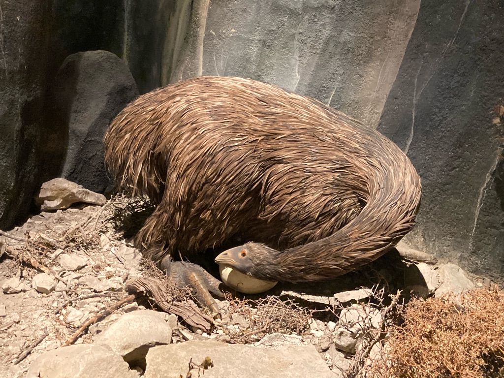
Natural High bikes had warned me that it was possible Intercity buses might refuse to carry a bike if they didn’t have enough space. They suggested that the best way to avoid this was to arrive early, and get the bike in the luggage hold when there was plenty of space. The bus was due to depart at 0845, with boarding from 0800, so I had decided I’d arrive at 0730.

I had set an alarm for 6, but was awake before at 0530. I didn’t want to disturb the others in the dorm, so I went down to the kitchen. As I walked down the stairs, I noticed someone in a sleeping bag on the floor next to them. Seemed a bit strange, there were definitely beds available in the hostel- only 3 of the 4 beds in the room I was in had been used last night.

I made some coffee and toast with the hostel’s free bread. There was some weetabix going free, so I made some along with some powdered milk and water. Not as bad as it sounds! I had plenty of time, so I washed my water bottles in hot soapy water. Probably a good idea to keep those as clean S possible…

At this point, noodle man from then sea shuttle the day before walked into the kitchen. It had been him sleeping by the stairs! He’d hitchhiked to Nelson from Motueka, and arrived late and didn’t want to disturb people. Now he was leaving early. He had a lot of noodles he planned to leave at the hostel, and gave me a couple of packets. Maybe I can try his 3-hour soak cooking trick…

I collected my sandwiches, fruit and yoghurt from the kitchen. Luckily the two people sharing my dorm room were early risers, so I didn’t disturb them when I packed up my kit. I left the hostel at 0725 and was at the station around the corner at 0730 (I’d picked this hostel due to its proximity - all of the campgrounds in Nelson were much further away and I hadn’t wanted an extra delay from needing to ride in).

I figured out which bus I thought was going to Picton. The driver was moving around the bus doing pre-trip checks. I asked if there would be anything I needed to do to prepare the bike or my kit to go on. Luckily, he seemed relaxed about it, and just wanted me to take the front wheel off - easy. At 0800, I was the first person to load my equipment into the luggage hold, leaning it all up against the bulkhead. I relaxed when I took my seat - I’d have been really stuck if I couldn’t get to the ferry.

The direct route from Nelson to Picton was not available, as Highway 6 was shut (it had been closed for the last 7 weeks to repair damage from flooding), so the bus was going to take the long route around, with an expected duration of 4 hours. The journey began by going South West through Richmond - the opposite direction to Picton. The bus passed through Wakefield (where the Motukea hop beer I’d bought Tapawera was brewed), past Kohatu and the ‘Flat Rock cafe’ I’d stopped in, and up to Hope Saddle. The bus struggled up the hairpin bends I’d ridden down in the rain.

On the way up to Hope Saddle.

Today was far less misty than the day I’d ridden through this area, I felt it was a shame that we didn’t stop to go up to the Hope Saddle viewpoint so I could get another photo opportunity! My attempts through the bus window don’t do it justice.

We headed down the hill from Hope Saddle (I appreciated that I really had done a lot of climbing when I rode up it in the other direction!), past Gowanbridge and on to Karatiri Junction, the bug infested rainy campsite I’d stayed at 4 nights before. Nice to see it again (safely behind glass!)

Instead of heading on towards Murchison, the bus turned left, paralleling the Buller River to head East towards St Arnaud and Lake Rotoiti. At 1035, the bus stopped on the shore of the lake for everyone to use the toilets in the carpark there - and also get some photos of the lake, of course!

Next the bus headed North East on the Wairau Valley Highway, finally in the correct direction to get to Picton. There were more great views out of the window. Much as it was annoying to have a longer journey, this extended route really took in some sights! I’d planned to spend the journey writing the blog, but didn’t get much done as I was constantly looking out of the window at the passing scenery!

The bus had a quick stop at Blenheim - lots of people got off to get a connecting coach down to Christchurch. We got to Picton right on time at 1230, an hour before the ferry check in at 1330, and departure at 1415. I went to the desk to find out about what to do with the bike. I needed to pay a $15 surcharge for it - no problem. I’d also booked a refundable ferry ticket for the next day (19th Dec) as a backup plan, so I cancelled - easier to ask a person to do it rather than make a mess of it online.

The ferry terminal at Picton

As I waited in the terminal, it occurred to me it’d be easier to change into cycling kit on the ferry at the end of the journey, so that I could ride away quickly, without needing to find somewhere to change in Wellington. I had identified ‘Camp Elsdon’, a campsite 13 miles or so North of Wellington as where I would stay, so would need to get myself there. I wanted to get riding North as soon as possible - I’d have a proper look around Wellington when I came back at the end of December. Boarding time at 1330 came around, I was led through the stern loading doors onto the vehicle deck, along with 4 people with kayaks on trolleys, for us to secure our equipment. I was pleased with my clove hitch - doing a good knot, very nautical!

We got to underway at 1415. I headed to the 10th floor of the ferry, which was an observation deck, and got some great pictures. It was a stunning trip out of the harbour!

It was rather windy on the deck, so after a while I went to explore the facilities inside. The ferry had a movie theatre, a magic show for children, a cafe, cabins and sleeping quarters, and several lounges. More comfortable than my usual modes of transport! There was even a live band!

Eventually I found some some very comfortable airline style seats, which faced forward out of a window at the front to see the view, and wrote the blog. The whole trip took about 3hours30. As Wellington harbour came into view, it was time for me to change my clothes ready to ride away, so I went and put my kit on in the bathroom. We were called down to the vehicle deck, and as we waited to disembark, I packed my clothes into one of the panniers so it’d be easy to ride off.

It took around 30 minutes to wait for docking to be complete, and the vehicles in front of me in the bay to move out first so that I could wheel the bike off the ferry. The roads outside the terminal were very busy - I knew I needed to head North, but the road looked so large and busy that I didn’t think I could ride on it. The GPS and Apple Maps weren’t really helping me. As I stood on a cycle path trying to figure out where to go, a cyclist dressed in fluorescent green asked me where I was trying to get to. It turned out he lived 5 or 10 km North of Camp Elsdon, and was riding home from work. “Follow me” he said - I had a cyclist guide to lead me out of the city!

We began by riding up a hill, on a cycleway at edge of the highway. I wondered if I’d have found this myself - perhaps, but not this quickly. I was conscious that with my heavy bike and kit, I was probably slowing my guide’s commute home, so I worked hard to go as fast up the hill as I could. Eventually the path widened out, and we could chat a bit. Colin was a firefighter, which is why he was heading home from work on a Sunday evening. I described some of my trip so far, and my upcoming plans. He convinced that I’d be far better off camping on his lawn overnight instead of going to Camp Elsdon. How generous to help someone out you’ve only just met!

We rounded Karehana Bay towards the end of the ride - it was a pleasant view out across the oceans and of Mana Island. Colin said on a good day you could see South Island. We ascended a very steep hill round some bends - a bit of a thigh burner to end your commute home to say the least - and arrived at Colin’s house in Plimmerton. It was high up the edge of a valley, and had a deck that commanded incredible views up the valley North, as well as back to Wellington and the inlet.

The view from the deck at Colin’s house:

Colin invited me in, and I met his wife Miranda. She was a teacher, and had just broken up for the holidays - she wouldn’t be back at work until the new term at the end of January. Of course - it is summer time in NZ now, so a long vacation! They offered me some beef curry, with some fantastic bread - a far superior option to the last of my sandwiches! We chatted about all sorts of things. Colin was a keen cyclist, and also an endurance kayaker - I realised that the pole sticking out of his backpack on the ride was a paddle! He’d cut a long double paddle into two to make single ones that were easier to travel with. He was making a carbon fibre joining piece for them - DIY carbon fibre was something I hadn’t seen before, and appealed to my materials science background…

Colin and Miranda asked me about my plans for the next part of my ride. Beyond heading North, and aiming to get to Rotorua to see the volcanic scenery, my ideas were rather undeveloped. They gave me a huge number of great suggestions - a route from Wellington on a cycle trail instead of going up the road on the West coast, a pass through the mountains running up the centre of the Island, hot springs and campsites near Taupo and Rotorua. What an amazing stroke of luck I’d had to meet Colin, and get all this local knowledge - and that he’d been so generous as to offer his lawn for me to camp on! Colin said he’d never seen a kiwi bird in the wild - but the Pukaha National Wildlife Centre near Mount Bruce had some that you could see in enclosures. This was a useful thing to know - I’d wondered if I just needed to look harder at twilight when I was camping!

I set up camp on the lawn, listening to the call of a nearby Tui bird. What an eventful rest day! I’d really landed on my feet in Wellington - I’d met some lovely people, and now I had a much better plan for the next few days.

Distance: 17.1 miles

Ascent: 254 m

15
Eketāhuna

A crazy kiwi dash!

I woke up at 0530 to the sound of a noisy Tui. Colin had said he’d be gone for work by 0500, and the rest of the family would be in bed. I got up and was ready to go at 0630. I found some hand written notes with more trip ideas from Colin stuck to the bike, what a legend! I took a quick video of the view from the balcony- you can hear a tui’s call in it at the end.

I rode East, and picked up Grays Road, which ran along the North of Porirua harbour. At the end of it there was a public toilet with a tap, so I filled up my water bottles and disposed of my rubbish in a litter bin - goodbye to the last ham sandwich from the hostel, which was more than likely past its best! Soon I was on Paremata Haywards Hill Road, heading towards the town of Upper Hutt. It was about 0730 or 0800, and was very busy - it was rush hour on Monday morning, after all. It wasn’t a fun ride, up a big hill on a busy road, but the shoulder was quite wide, and in places there were roadworks so I could ride to the left of the cones which felt safer.

At the end of Paremata Haywards Hill Road, I was faced with an even bigger one - State Highway 2. I could see from a flyover bridge that there were cycle lane markings on the shoulder, so I guess that riding on it must be permitted. I picked up a cycle track that took me down there.

It was nearing 0830. I hadn’t had much to eat and was feeling pretty hungry. I headed into Upper Hurt, and stopped at “Sugar and spice” cafe, which had an appropriate sign!

Found my brand…

It seemed only appropriate to get a spicy chai latte, along with a bacon and egg roll. Though it actually turned out to be a croissant, not a roll! Apparently this is a common thing, new to me though… \240I charged the phone and GPS with the power brick, and spent 30 mins planning the next part of my route - how to get onto the Rimutaka Cycle Trail recommended by Colin. I had a bit of a chat with the owner, who seemed a little incredulous that I was going to try to ride over “the Rimutaka hill”. It’s often a little hard to judge people’s opinions about what is and isn’t possible…probably not worth worrying too much about what people who don’t ride bikes think. Perhaps I just look incompetent or incapable, of course! After all, I was surprised by a croissant sandwich…

I decided to ride on through through Upper Hutt instead of returning to the the main road, looking for the town of \240Te Marua where I believed I could join the Rimutaka trail. I saw a cycle path with symbols for the trail, which made life easier. There were more than a few spots of rain by this time, so I stopped to put my phone into a waterproof bag. I saw a sign to “Tunnel Gulley”, which I knew was on the Rimutaka Trail route and followed that, along “Plateau Road” which sounded appealingly flat. I was concerned that I might have lost the trail, but after 10 minutes or so I came across a parking area with an information board and a detailed map of the trail. It looked like I had missed the start of the Rimutaka trail (along with an “unmissable” tunnel, which I was too lazy to go back to see…), but I could pick it up here. I took some photos of the map board, which were far better than what I had managed to find on the internet, and headed on.

The surface was fairly decent, with loose coarse gravel. Sometimes it was a little slippery, and I couldn’t go quite as fast as normal. The route was excellent, following the route of an old railway through the hills, with bridges crossing rivers, and tunnels to avoid a couple of big climbs! I couldn’t believe my luck in meeting Colin - I’d have just ridden up the highway without his suggestion (if I’d even gone this way at all - I imagine that left to my own devices I would have just gone up the West coast).

Eventually I reached Summit Yards, the highest point on the trail, at just before 1130. I’d been expecting a very large climb at some point, but it hadn’t materialised. I had a 20 minute break and ate some food.

Straight after Summit Yards, there was a very long tunnel, which was very dark, and I found a bit disconcerting as I couldn’t see the slippy-feeling floor, which now and then had surprising puddles. It was a strange sensation, as there was a slight descent, which made me constantly feel like I was about to fall off the bike! At least I had my lights though.

I exited the tunnel to find a temporary waterfall outside. No surprise that it was so wet inside then…

Soon after, there was a lookout with some great views down the valley, and then a long swing bridge traversing the river. Fun to ride over!

The view from the swingbridge

Looking back at the bridge:

The last 3 miles or so of the trail were a bit wet and muddy. I took them slowly on the touring bike to avoid falling over on the descents. I got overtaken by some kids in mountain bikes, always a good look! Eventually I joined a real metalled road, turned left, and headed North East to Featherston alongside a lake (Waiarapa Moana Wetland). It was about 1300, and had been a while since my last proper cafe stop, and I was feeling a bit tired. I noticed I had a tail wind though - I wasn’t working that hard but was hitting 15mph (fairly fast for me on this trip).

I started thinking about my next plans. Apple Maps said it was 41 miles to the wildlife centre with the kiwi enclosure. I’d probably already ridden that many miles today, and guessed that it’d probably be closed by the time I arrived. That was annoying - I’d probably have to stop short tonight, and then use up time in the morning to have a visit. I’d much prefer to get an early start riding in the morning.

After a bit of Googling, I noticed that the Pukaha website stated its opening times are 0900-1800 in summer. I remembered that now is summer (thanks to Miranda!). Hmm… my usual speed is 12 mph, and perhaps faster with a tail wind, and if I work hard - perhaps I could make it there before closing time and see a kiwi bird?

I reach Featherston at 1315. I don’t see a good place to eat - “Vixen Burger” on the map sounded curious but I didn’t see it, and “Coffee and Books” looked so smart that I thought they wouldn’t appreciate a muddy cyclist like me lowering the tone! I ceased looking for a cafe and stopped by a park which had a bathroom. I’m turning over in my mind what to do next. It’s 39 miles to the Wildlife Centre. 3 lots of 13 miles per hour and a couple of breaks would get me there at 1700, and hour before closing time. I decide it’s worth a try. I allow myself 15 minutes, in which I charge the GPS and eat. I go for the “Lolly Cake” I’ve been carrying for a few days - I’d seen them in cafes and bought a large (and significantly cheaper!) one in a supermarket. It’s a sort of traybake made of malted biscuits that contains “lollies” (soft sugary sweets), covered in desiccated coconut. I think I’ll need the energy for the ride ahead!

I didn’t get a very photogenic picture of the lolly cake… this was the state of it at the end of the day (!):-

I get moving at 1330. The highway runs North East towards a town called Masterton. I’m feeling energetic and I think a tail wind is helping me - I’m delighted that I’m hitting 16 or 17 mph. My dash to Pukaha might just be possible if I can keep this up! I begin to work really hard - head down, hands on the drops, riding a big gear. 30 minute pass and I’ve covered over 7.5 miles - 15 mph!

I ride as fast as I can. In some ways, this is a bad thing as I don’t take in much of the surroundings. Greytown looked lovely as I whisked through it - I think I saw a museum about early settlers in NZ which I’m sure would have been great.

I’m working really hard now - another 30 minutes pass, and I’ve covered another 8 miles!! This is looking like it might actually be possible! It was hardly Beryl Burton chasing down Mile McNamara (and I had lolly cake not liquorice allsorts…), but I was going some! I set myself little targets - get to 19.5 miles (half way), get the next 30 minutes done without slacking off. I have a brief stop at 90 minutes to refill my water bottles - this extra work was thirsty!


Shortly after my break, the gradient began to increase and my pace dropped a little. I suppose you need to expect hills if you are going to a place called ‘Mount Bruce’!


Just as I was nearing the end of my 5th 30 minute block, I spotted this sign and just had to stop for some photos. It summed the ride up perfectly! I’d been hanging on, working as hard as I could, focused on getting to the next 30 minute point - but now I was so close to Pukaha I knew I was going to make it, and a little stop was OK.

Amazingly, I arrived at Pukaha at 1620! My riding time to cover the 39 miles had been 2hrs36 - not bad for my heavy bike! But there wasn’t time to waste basking in the glory of my little achievement - it was time to see some wildlife! Adult entry to the park is usually $24, but because it was so late the attendant gave me the concessionary rate of $12. He cautioned that I might not see much, as the birds would be starting to roost, and the kiwis would probably be asleep. I’d missed all of the demonstrations that occur earlier in the day such as feeding the kiwis. Oh dear…still worth a try.

I felt I had no time to waste, so I headed past some interesting looking displays straight to the ‘kiwi house’. Since kiwi birds are nocturnal, they had an indoor enclosure illuminated with red light. I peered into it for 20 minutes…but didn’t see a thing. My eyes started playing tricks on me - but the information sign said kiwis move constantly, and I knew I was just kidding myself that round-looking things might be the elusive bird. Maybe it was indeed asleep. I consoled myself by watching some information films. I got a few pictures of kiwis from those at least! Apparently only 10% of kiwis that hatch in the wild survive, so they have a conservation programme to help them at the centre.

Capturing kiwis for conservation efforts:-

I was cold in the kiwi house (perhaps due to my cycling exertions…), so I went out in the sun and had a look around the park. It was good - I saw a bush parrot, parakeets and eels.

Bush parrot (“Kaka” in Māori):-

Eels (“tuna” in Māori):-:

Parakeets:-

At 1730 I decided to go back to the kiwi house for one last look. To my delight, I spotted “Nihwa” the kiwi snuffling around the enclosure!! He was much larger than I’d expected - I’d envisioned kiwis being the size of a chick or a sparrow, but Nihwa was about the size of a basketball! He did indeed move constantly, rooting about through the ground and vegetation in the enclosure with his beak. He had a white spot on its head - a little unusual apparently (I think the attendant said its father was a “white kiwi”).

It was fascinating to watch such a curious creature - and really made my day after my intense ride! I only left when the staff came to close up and turned the red lights off! Amazing what an iPhone camera can capture too:-

It was time to go. I went back to my bike (after habitually filling my water bottles), and put my rain jacket on to get a bit warmer. There were 6 or 7 miles to ride up the road to Ekatahuna, where according to the Rankers app there was a campsite. However, Apple Maps did not show it - the next town on was another 10 miles, so hopefully it wouldn’t come to that! The ride to Ekatahuna was mercifully downhill, and several signs announced it as “real kiwi country” as I rode into town. They had certainly had plenty of kiwi sculptures and murals!

The “four square” supermarket was still open (it seems you can never be sure when closing time is in smaller places.. I didn’t know when my next chance to shop would be, so I opted to buy provisions now. I had no idea about the facilities at the campsite, so got things that wouldn’t need cooking - a loaf of bread (a bargain at $1.59!), an avocado (nice and ripe this time), hummus, yoghurt and some snacks to replace the ones I’d eaten. I also cracked and bought a Tupperware cup - I have finally got fed up of not having something to make hot drinks in. The billy can lid is still going to be my plate though!! I splashed out and purchased a bag too, but was dismayed to find it didn’t have handles! The checkout attendant confirmed that there was a campsite in the town and gave me directions. I got riding, clutching the bag in one hand as I went.

I arrived at the camp site at 1900. It was great - a nice woodland setting, with a kitchen block and free showers. The owners came across as I looked for a spot to pitch, and better yet it was only $8 per night. The showers were excellent and hot - ideal to clean off the mud from the trail, and the sweat from my TTT (‘touring time trial’ - surely a contender for a new Olympic event?!).

I met two other touring cyclists at the camp. Quite exciting really, given I’d only met one other so far, for a fleeting two minutes back in Buller Gorge. There was a woman from Berlin, Nathalie, with an incredibly smart looking bike and equipment, and a man from Canada whose rear pannier rack had broken. Both had come from the North and were heading towards Wellington to eventually get the ferry, and were interested to hear about the Remutaka trail I’d ridden earlier in the day. Bizarrely (to me) they were considerably less fussed about seeing the kiwi than I was. They said it had been raining for days in the North Island.

Louis from Canada prepared himself an elaborate chicken salad. I wish I’d known the kitchen was so good, perhaps I could have tried something similar. He also had a bottle of wine, which he’d carried for

200km! Perhaps that extra weight had been the final straw for his bike’s rack!

Tea for me was avocado on toast with hummus and tomatoes - very hipster! Louis was kind enough to give me a glass of wine too, along with some cycling trail route tips of his own.

It rained for bit at around 2100, so I stayed in the kitchen charging my phone and eating the yoghurt I’d bought. Eventually it subsided, and I headed back to the tent. Quite a few midges got in with me, which were very hard to catch, so I applied some DEET ‘perfume’, and spent a long while chasing the finnicky things. After trying to write some more of the blog, I was too tired at 2245 and went to sleep. All in all, another great day done! An amazing trail, an intense time trial challenge, and ticking what surely must be every New Zealand tourist’s main objective off the list - seeing a real kiwi! Just one of those would have made for a great day - hardly seems believable to have done all three.


Total distance: 91.7 miles

Total ascent: 1313 metres

Stats for Featherston to Pukaha 30 minute legs:

1. 7.56 miles

2. 8.02 miles

3. 8.18 miles

4. 6.80 miles

5. 5.87 miles

6. 2.08 miles (Last 5 mins)

Total distance: 38.5 miles

Total ascent: 359 m

Total time: 2 hours 36 min

Average speed: 14.77 mph

16
Totara Reserve Campsite

Wet socks and wet fields

I woke up at 0345. I decided to work on the blog a bit as I’d got behind - there was so much to write up from the eventful days I’d had! I could hear a few rain showers, and as 0500 came and the sunlight emerged, the dawn chorus begin. Lots of insects were buzzing around too - this campsite wasn’t too bad though, only midges and no upsetting bites sandflies.

At 0700 it was time to get up. I noticed the top of my sleeping bag was a little bit wet. To my horror, I realised that a water bottle had fallen over and leaked inside the tent. Fortunately, not too much had come out, and it has mainly been drawn underneath my sleeping mat. None of my other stuff was wet.

I carefully got my cycling kit on, taking care not to displace the water. I got out of the tent, removed everything from the tent (the picnic bench nearby was ideal), and surveyed the damage. Fortunately it wasn’t raining as I did this. I went up to the bathroom and got some toilet paper, and used it to mop up the \240water that was pooled inside the tent - it was good to see that the tent’s groundsheet didn’t leak, I suppose! I wiped the roll mat down and balanced it on its side. I made some tea (no milk though) and sweetened it with some maple syrup left in the kitchen, and drank it as I walked between the tent and the block sorting things out.

I left the tent and the mat to dry whilst I packed my kit into the panniers and had breakfast. I realised I’d made a bit of an error - I’d left most of my food in the fridge, which was in a room that was due to be locked until 8, so I had to wait around for a while...0845 as it transpired. My eventual breakfast was the second half of the avocado, the rest of the tomatoes, hummus and toast. I decided to save the yoghurt for later in the day.

I surveyed my sock situation. I realised that I’d left two pairs tied to the front pannier rack to dry them out, but they’d become dirty and damp during the ride on the trail yesterday. The pair I was wearing, along with my shoes, were damp. My fourth and last “nice” pair I wanted to keep as clean and dry as possible, so wouldn’t be wearing those today. I decided to wash the two dirty pairs in the bathroom sink - wearing them like mittens, I rubbed my bar of soap on them, rinsed and then wrung them out. This time I strapped them onto the back of the bike with bungees. I tried to dry out the damp pair as best I could, by keeping them inside my T-shirt in my armpits. I took the insoles out of the shoes to try to dry them too.

Nathalie and Louis arrived a bit later, so I hung around as they both ate breakfast. They were going to ride together today, as they both wanted to go South. We chatted a bit more about routes - both said they’d been rained on a lot further North - oh dear, I wonder if that is what is in store for me! I left at 0940 as they both worked on their bikes - Nathalie doing a bit of chain maintenance, and Louis attempting to strap up his rear pannier rack onto the seatpost! It was interesting to see how they both travelled - a lot more kit (50kg +), lower mileage, and stopping to do other stuff like hiking. They both had the time though - Natalie had quit her job, and Louis had been travelling 3 or 4 years, interspersed with casual labour.

As I left Eketahuna I spotted another kiwi sculpture. This one looked as if it was staring at me, I think!

I was a bit cold, so I stopped briefly to my on my arm warmers. They are bright orange and for some reason make me very happy! Hopefully they might help a little with visibility too.

Colin had given me a route up towards Ballance which avoided a bit of the highway. After that, there was an option of going on a closed road through Mangaweka Gorge - apparently you weren’t supposed to go on it, but lots of walkers and riders did anyway. However, the route to Ballance went out of the window for me when I saw a sign for the Tui brewery - definitely worth a visit in my book, but it didn’t work with Colin’s suggested route!

I rode North up the highway, through Pahiatua. Seismic issues has a different connotation in the UK!

This plane was pretty cool too. Not every Main Steet has one of those!

I got to Mangatainoka at around 11 only to find that the Tui Brewery was shut. Closed on Mondays and Tuesdays. With such a conspicuous building, at least I knew for sure I was in the right place! Obviously it wasn’t worth an overnight stay, though I did notice a nice looking campsite as I exited Mangatainoka.


As I rode on North towards Woodville, I saw a lot of roadside flowers, including wattles.

A few more NZ sheep:-

To the West, I saw a lot of wind turbines on the crest of the hill. I really mean a lot - I couldn’t count them all! I learnt later that the Te Apiti wind farm has 55 operational turbines, and can generate a total of 91 MW.

This amusing sign greeted me as I entered Woodville. I was disappointed to see that the panel was made out of metal though! At least the legs were wooden…

A sign in the town directed toward an information point, so I thought I’d head that way. I locked the bike outside an art gallery. It was just before 12 and I’d covered 27 miles in the day. There were a few drops of rain in the air, so I stuffed the socks off the back of the bike into my pocket. They were halfway dry, no need to get them rained on now and go back to square one! Across the road was a library, so I headed in to find the information point. It started to rain more, so I asked if I could sit in and eat my lunch (some of the bread and the remaining hummus, plus some yoghurt). I chatted with the staff - they too thought that I should take the shut highway instead of the busy Saddle Road. Hmm - not sure I am adventurous enough to break the rules! It was a nice library with lots of local information - I got a chance to brush up on my Māori (though I’d be far to embarrassed to try beyond “Kia Ora”!):-

The library shut for lunch 1230-1230 so I needed to head out. The “Woodville Pioneer Museum” down the road looked like a great option to make up for the missed opportunity yesterday for a similar museum in Greytown (the “Early Settlers” museum that I had spied from the corner of my eye as I sped through), but sadly it was shut.

I wanted to spend a little time planning my route, and felt I should sit inside given the threat of rain. “Yummy Mummy’s Cheesecakes” (homemade, no less) cafe sounded an inviting proposition, but I’d already eaten lunch. Next door was the “Wind Farm Cafe”. Perfect - clearly they were as big fans of the local scenery as I was! I ordered a large chai latte, which was excellent, and did a bit of Googling. https://www.nzcycletrail.com/assets/Maps/6593f40cd7/28-v3.-Manawatu-Cycleway-2018.pdf showed the route of the Mangaweka trail - I could indeed pick it up at Ashhurst. Even better, it showed that there were a load of campsites along it. I wasn’t sure how far I’d get on the trail today, but I’d be OK wherever I needed to stop. It was raining on and off, and I stayed in the cafe writing the blog. By 1420, I really felt I should leave.

I hoped that the shop across the road from the Wind Farm Cafe would sell some food that would be useful for later, but it mainly sold toiletries and sweets - nothing fresh. I did pick up some “Grey’s” instant coffee with milk though - raspberry macchiato flavour which sounded a little different. Hopefully I’ll meet some kettles soon, and these won’t be a waste of space.

I decided to nip into the gallery before I left. The Rinitawa gallery was in three sections - pieces by local artists for sale, historical items from the town’s history, and a gallery of work by Gottfried Lindeman who had settled in Woodville and painted pictures of Māori.

Local history- Nireaha Tamaki, local Māori leader.

“Sam McCosh’s bicycle”, which he adapted to allow “pedalling” with the arms. Not sure that’d work for me. Painted in Salvation Army colours to go with the fiery quote:-

Local art:

Art:-

I was ready to go at 1445 - it had been a while since my lunch, so I had a cereal bar. Salted Caramel “Tasti” bar, good stuff. As I left the town I saw a shop offering fruit ice cream, and avocados for $1, what a shame to miss that! Though on the other hand, I might never have left Woodville if I stopped again! My next destination was Ashhurst, 6 or 7 miles away, with the “Saddle” hill in the way. The sun was out, and I got pretty hot peddling upwards - I had to roll my arm warmers down to my wrists. My shoes and socks felt like they were almost dry on my feet too, hurrah!

At the summit, I was right amongst the wind turbines - an interesting perspective on these cool pieces of engineering.

The descent commanded great views. This one is probably the furthest I’ve been able to see in my time in NZ.

I got into Ashhurst about 1550, just in time to see the bin collection:-

Another Christmas kiwi spotted:-

As I rode out of Ashhurst to pick up the Mangaweka trail, I saw a Four Square supermarket, so went in to get some supplies. Another avocado ($2.50, not $1 sadly), a box of berry and chia porridge oat sachets, and yet more snacks. Outside, I noticed some free newspapers, so picked one up and strapped it to the bike with a bungee - might come in useful for shoe drying at some point. I packed the rest of my new provisions into the panniers. As I was leaving, I saw a couple of cycle tourists with packed mountain bikes - they looked in a hurry though, so I didn’t chat with them beyond a quick nod in greeting.

I looked at the weather forecast for Apiti, a town about 25 miles up the trail - 50% chance of thunderstorms at 1700! Maybe I wouldn’t be going that far then! There were plenty of campsites to choose from before there. Within 5 minutes of getting going, rain drops were falling. I stopped and put the socks away - got to keep those dry, so close now! The GPS went back into the waterproof map case too. There was a campsite in Raumai in about 4 miles, and another at Totara in about 14. Maybe I could get the tent up at Raumai before it got bad? That proved not to be the case - before I had reached Raumai, the heavens had opened and I was soaked to the skin. All my kit was in waterproof bags, so I wasn’t worried - I might as well keep going to Totara and get more miles in, since it wasn’t that late. I hadn’t done that many, given my slow start and extended lunch break…. There was a bit of a headwind, and it was uphill, so I didn’t go so fast. Not many pictures either, since I had my phone in a waterproof bag too…

The rain eased off and almost stopped at 1730, when I was a few miles short of the campsite. Lots of water going on here:-

Totara Reserve campsite was down by the river. I felt sad descending to it, as I knew I’d have to ride back up the valley side tomorrow! There are two camping grounds in Tōtara Reserve, one large site (Kererū) on the northern side and a smaller site (Kahikatea) across the road. Ah, decisions! I rode to Kereru first. There was a modern looking shower block, BBQs on a concrete platform, but the grass was absolutely sodden from all the rain, with muddy pools sitting on it. I wasn’t up for putting the tent up on that! I headed up to Kahikatea. To my dismay, the ground was similarly waterlogged. However, I spotted a cabin with a raised wooden veranda near to the entrance gate - with a bit of effort, the tent could go on that. It looked like a good spot - the wooden floor was still dry, so clearly the rain didn’t get in. No one else was there, and since it was pretty late, I felt that it was unlikely anyone else would come. I might be putting away a dry tent tomorrow, with a bit of luck! I put up the tent, with the assistance of a few rocks:

I realised that I was pretty cold and starting to slow down. I stripped of the wet arm warmers (they’d been awesome in the rain), and replaced my soaked cycling jersey with my warm top and the waterproof. I wore the hoods up on both! Next, I booked into the campsite online ($16), and kept on with organising my stuff. I took off my soaking wet footwear, and performed the ‘newspaper trick’ on my shoes.

Next I took off my wet shorts, dried with a towel and put my trousers on. It was about 7pm and I’d finished setting up, and everting was dry. What to do with my evening? Alarmingly, my phone wouldn’t charge - it had detected water in the lightning charging point and said it needed to dry out. My wet hands might have caused that, perhaps? I wrapped it in paper towels and put it in my pocket. The campsite warden arrived. She was happy because I’d already paid online. I had been worried that my set up on the veranda would be frowned on, but she liked it and thought I’d been ingenious! However, there was a problem- she’d come to close Kahikatea campsite. The river was forecast to rise by 2.5 meters overnight due to the rainfall, and the campsite would flood at 2 metres. “You’re right at the top here, so probably will be OK, but I’d really prefer you to be at Kereru, that only floods at 3m. You can stay if you want though - there are automatic sirens that will go off and wake you if the water gets high, and you’ll still have lots of time”. She gave me the key code to get into the campsite showers and headed off. I didn’t feel I needed one - I was pretty clean from my rainwater shower 90 minutes ago!

I was still pretty cold, and also tired and hungry. I really didn’t want to move. The warden said I could stay and chance it, perhaps it’d be OK? I got into my sleeping bag and ate some food - bread with the avocado I’d brought in the afternoon, which was fantastic. I also had some “kiwiana” themed sweets (or, lollies to be proper in NZ. I think they are supposed to be a fern leaf, gum boot (Wellington connection?), pavlova (there’s a rivalry with Australia over who invented it!), jandals (sandals), and a penguin. Not sure why there wasn’t a Kiwi though, or what the bottle is about!

I was feeling much better after my food. And proably thinking better too. I decided I should move sites. Moving now in the light and without rain would be easy - preferable to a potential scramble in the dark and wet at 2am, when the river was predicted to be at its highest. Since my veranda setup hadn’t caused a problem, I figured I’d be OK on the covered BBQ stand, given the warden’s previous reaction. Noone else was about anyway. I gave myself the luxury of an ‘easy’ move - instead of packing my panniers in an organised way, I did two trips on the bike. Setting up the tent on the concrete was tricky- no way to put pegs in at all. I used a combination of bungees, guide ropes and rocks to hold it in place. I put the roll mat under the groundsheet to protect it from the concrete. It all took quite a while - I didn’t want to end up like Noddy and Big Ears’ infamous ‘camping on the beach’ escapade!

Second campsite of the day…

As I worked to set up, a couple of 4x4s arrived. Their occupants were going to stay here too. They’d been 4WD driving and were all covered head to toe in mud. One of them eventually came over and asked if I had the code for the shower. I gave it to him- hopefully they had paid and I wouldn’t be in trouble with the warden. My new 4WDer friend came back a while later, and gave me a drink. Knowledge is power eh!

I’d got everything set up by 2115 and it was starting to go dark. The iPhone was happy again and would charge. My two pairs of cleaned socks were dry! I got into the sleeping bag and worked on the blog. I was expecting the rain to return, but apart from a few gusts of wind, nothing came. All I could hear was the rush of the river, and what I think is the call of a morepork (Ruru), a small owl that lives in forests in New Zealand.

Total distance: 53.7 miles

Total ascent: 723m


17
Waiouru

They say it’s just like Yorkshire…

I woke up at 0630. The expected deluge, or flooding river, never materialised as far as I am aware. The most uncomfortable part of the night was sleeping on concrete, which unsurprisingly was very hard, despite the roll mat. It was a nice morning, the sky was clear and blue, thiugh the shade of the trees in the valley made it a little chilly, so I worked in my waterproof. I found that I could turn on the electric BBQ, so had a go at toasting the last of the bread! It worked out ok- shame I didn’t have an avocado left from the night before.

Improvised toast

Packing up was a little slow, as I had to undo all of my efforts to secure the tent, and move the rocks back to their original positions. My shoes were still a bit wet, so I decided I’d try riding without socks in the morning - I would have to watch out for blisters and sunburn on my ankles! I was ready to go at 0800.

I was pleased to find that the GPS didn’t make me go back up the hill I’d descended the previous night. I crossed the Pohangina river instead - there was still a bit of a climb to get out of the valley though. At the top, I was pointing North and the morning sun was shining from the East onto my right side, so I readjusted my drying kit on the bike to make the most of the sun. It was a nice road and had great views - the hills were looking verdant and the was sun shining. A couple of people have said to me that New Zealand’s North Island is like North Yorkshire in the UK - presumably as there are sheep and it is quite green. We don’t have terrain like this in “God’s Own County” though:-

After a while, the track turned to gravel. It wasn’t too bad, but riding on gravel isn’t my favourite. Going up hill, the back wheel can slip and you lose traction, and downhill it can feel like the bike has a bit of a mind of its own. So I tend to go a lot slower. I realised that another disadvantage of not wearing socks is that it lets grit into your shoes! There were still great views though.

I had a quick stop to drink. Without the label on the bottle (removed to make it easier to get inside the roll mat), the green Powerade looked rather like fairy liquid to me! As I drank, I decided I preferred ‘blue’ flavour to ‘green’ flavour. You can also see my arm warmers tied onto the handlebars, Aerosmith style, to catch some drying sun!

Totally appetising…

I got going again, and entertained myself recording a few videos on the move - taking advantage of the zero traffic conditions:-

I had to have a little stop to let these sheep past. I suppose that is a little like Yorkshire… \240Hopefully they were on the way to somewhere for a wash, they looked pretty dirty to me!

I got to Apiti at 1025. I’d covered 18.6 miles in a little over 2 hours of riding time after leaving at 0800. And the not-insignificant matter of 700m of elevation gain. I sat in the shade, to let my limbs, and my skin, have a rest. The sun was well and truly shining, so I put sun cream on, and then took my shoes off, removed the insoles, and left them to dry out more. Almost there in the drying battle, hopefully! There wasn’t much to Apiti, it was a just little farming village. There was this war memorial though - what must it have been like to leave a place like this to go and fight halfway round the world:-

I decided my shoes were now dry enough to wear some socks without soaking them. It felt great on my feet - small pleasures eh! I left at 1115, and spotted this kiwi and a pair of moas on the way out (the tavern was closed). Apiti appeared to have a tractor museum too. Maybe I was being unfair in my original estimation!

One resident seemed determined to escape Apiti though:-

My next destination was Mangaweka. I’d heard from multiple sources that the cafe in the campsite there was good. The route there was about 22 miles, with what looked like 300m climbing. Maybe I could make it there for lunch some time after 1315 or so? There was not a direct route to Mangaweka - several times the road would parallel a river, descend to a bridge at the bottom, and climb back up the other side. So I had a fair few fast descents (on a good sealed road now, thankfully), followed by some steep, punchy ascents (as punchy as you can be on a heavy bike, at least!)

View from a typical \240bridge at the bottom of a valley:-

Looking back down on the same bridge after climbing out of the valley. The bike’s handlebars are hooked on the fence to stop it rolling back down the hill!

It was pretty tough going. Approaching 45 minutes since my break, I started to think a little pause might be nice. But, I was at 25.8 miles, so maybe I should go around the bend and get to a nice round number of miles and only stop at 26 miles. Now 2mins30seconds more and I’ll be at 50 minutes of riding. Soon it’ll be an hour. As 3 hours of total riding time ticked over, my distance was 28.50 miles exactly. 9.5 mph I calculated in my head - not surprising with all these hills! Soon I was near the top - that did indeed seem a reasonable place for a breather. I’d covered 11 miles more and climbed another 400m in the hour and three minutes since my break. Helped on by a little agricultural Christmas cheer on the way:-

I stopped for a little longer than I had planned - about 25 minutes. I was expecting a long descent over the next 11 miles or so to Mangaweka. No sooner had I turned the first corner, I found that the road was blocked by sheep! I cursed myself for waiting so long. I got a bit closer - there was a huge number of them:-

The farmer on the quadbike motioned to me - I was fully expecting her to tell me to expect a long wait. However, she leaned in and said I should ride through the her. I thought she was joking. “No, you’d be doing me a favour - it’ll get them moving”. Alright then - this will be interesting! I started to move forward and the sheep started to run along and out of the way. I wasn’t going that fast, but had just about enough speed to balance the bike with one hand as I filmed and took photos.

I’m pretty sure I haven’t seen this many sheep before…

Getting the hang of it a bit more:-

There really were a lot of sheep! As if that wasn’t enough, at the end I came across some cows too! You wouldn’t get this sort of herding experience in Yorkshire!

After I’d moved through the hundreds of sheep, I was left with a long descent through the Rangitikei River valley. It was very dramatic - extraordinary scenery really. An upcoming descent:-

Rock slides:-

Soon I got to the Mangaweka camping ground. It looked like a brilliant spot, nestled in trees by a river bend under the shadow of huge cliffs…too early for me to pitch though, it was only about 1415 and I needed to do more miles today….

Mangaweka camping ground

I realised I’d overshot the cafe, so headed back over the bridge to find it, which gave me an excuse for another photo:

The cafe was combined with an adventure/rafting centre and had good views over the river. I felt I’d need some proper food to fuel my afternoon riding. I went for a ‘patty melt toastie’, which I hadn’t had before - a beef burger in a toasted sandwich.

I stayed a bit longer than I had planned (there’s a pattern forming here…). I needed to figure out where to ride to - perhaps Waiouru, 30 miles up the road? That’d get me up to a decent mileage on the way to Rotorua - but there didn’t seem to be a camping ground near it. Also, there appeared to be another big hill en route. Well…what else am I going to do with my afternoon anyway? I’d figure out the accommodation when I got there - perhaps today was my time to try ‘freedom camping’ in the woods?

Just as I was preparing to leave, it began to rain heavily. The waitress thought I was mad as continued to pack up my kit and got my rain jacket on. Amusingly (to me), she was from Manchester, surely she should have been used to cracking on with things in the rain! Fortunately, I’d had an unintentional lucky break, and locked the bike up under cover, so all of my carefully dried kit hadn’t got wet. I stuffed it all inside the waterproof bag with the tent. Almost as quickly as it had come, the rain eased off rapidly, and soon I had to take off my waterproof as the effort of the climb out of the valley got me.

I soon arrived at the junction of the road with State Highway 1 which would take me the 30 miles up to Waiouru. Wiithin 30 seconds I saw more cars than I had during the whole of the day so far! Time to change riding mode, screw the metaphorical nut and concentrate!! For the most part, the road had a decent shoulder to ride on though. For first 12 miles or so, on the way to Taihape, it was mainly steady climbing, though with some fast downhills- I hit over 30mph a couple of times. There wasn’t much to see, the most interesting thing to report was a piece of fluorescent orange material stuck in the hedgerow. I stopped to have a look - after shaking the bugs off, bungeed it onto the back of the bike, to make me a little more visible.

I got to Taihape at 1640. There were 18 miles to go - still a long way, and by the looks of it with three or four hundred metres of climbing. However, I felt OK about it. Surely that would take less than 2 hours and I’d get to Waiouru before 1900. A few drops of rain were falling, so I stopped for 20 minutes sitting in a bus shelter, and snacking on an enormous cake I’d bought at the Mangaweka Campground Cafe. I didn’t eat all though - it was a monster!

As I left Taihape, I was seen off by a statue of a giant gumboot. Why not eh! I feel we need more sculptures like this in the UK!

The next part of the ride was tough. The climbing seemed constant, and sometimes I was riding into a headwind. I crawled on forward using the lowest gear, sometimes only at 5mph, being overtakenby trucks and cars. There wasn’t a huge amount to see, and I focussed on the riding stats from the GPS - how many miles I’d done, how many were left. I’d been riding for 5 hours 40 minutes and decided I’d try to push on to 6 hours before having a break. It seemed interminable. As 6 hours came up, I crested hill, and got a bit of rest on a downhill, so kept on going. Since Taihape I’d been riding 45 minutes, but had only gone 7.5 miles. I kept on going though, sometimes just focused on getting to the next road post. Eventually I got to 70 miles, and had a break.


Given the lack of campsites in Waiouru, I planned to look for a quiet spot to camp in - so called “freedom camping”. It wasn’t to be though - signs warned that either side of the road was used for military training. I hadn’t seen these anywhere else in New Zealand so thought I’d better adhere with their stern \240instructions. I rode on to Waiouru, where I saw the NZ National Army museum. They allowed camper vans to stay in their car park for free - not tents though. Oh well. The only option available \240was to use one of the cheap motels. I had to ride around trying to find one that was open. I was tired and had got cold riding around in circles in Waiouru, so acquiesced to paying $60 for a room - my most expensive night so far! That matched the fact that today I had ascended more height than any of the other days of the ride - 2220 metres according to the GPS!

The Oasis Motel was very dilapidated. You get what you pay for I suppose. They let me lock my bike inside though, and the showers (shared) worked OK and were hot, even if they did need a good clean. It was good to have a proper towel that I would not have to worry about drying, and I took the opportunity to wash one of my sets of cycling kit. I got a beer from the bar, and wrote the blog up lying on the bed. It was probably good to have a decent rest - tomorrow I’d be riding “The Desert Road”. They certainly don’t have one of those in Yorkshire!

Total Distance: 76.2 miles

Total Ascent: 2220 metres

18
Taupo DeBretts Hot Springs

The Desert Road, Mount Doom, and several varieties of water…

I woke up at 0600. I hadn’t been entirely convinced by the cleanliness of the motel’s bed, so I’d slept inside my sleeping bag liner. I don’t want to contend with bed bugs on top of sandflies! I set about sorting my equipment out, looking forward to getting a good start on the day. The room had a kettle, tea and UHT milk so at least I could have a hot drink, despite there being no kitchen. I went to the shared bathroom, only to discover the lights didn’t work (just an empty fixing with no lightbulb), and there was no toilet paper - totally unsurprising for this top quality establishment! I headed back to my room to get my own loo roll (always a good idea to have your own supply on a trip like this). As I shut my room door, I realised I’d made a big mistake: I’d left the key on the bed and I had locked myself out!! It was 0615, and all I had was a teaspoon and the clothes I was wearing - boxer shorts and my warm hooded top. A great look, barefoot and showing off the tan lines on my legs. Oh dear…somehow I suspected this place would not have a 24/7 reception desk! I milled around for 15 minutes, wondering what to do. A man emerged from a room marked “private” at the end of the corridor. I asked him if he worked there - he did not, he was a resident. “The staff are usually back at 11am after people have checked out”. He seemed a little amused by my attire, which in fairness was very understandable. I guess I was in for a slow morning. All that wasted riding time! I headed off to look around, perhaps I’d find some other staff? Five minutes later, the man returned. “Guess what? Your lucky day - I have a master key”. My lucky day indeed! I was soon back in the room, with only 20 minutes wasted. Bit of a learning experience there!

I did my usual pannier preparation. I’d bought a big bag of dried dates so decanted some of them into one of the resealable bags I’d kept. I made some of the goji berry, coconut and chia porridge by pouring boiling water onto it in a coffee cup. Another hipster culinary success! I thought so anyway, I had three sachets!

I left at 0740. I wasn’t particularly sorry to say goodbye to the Oasis motel, but at least I’d had a chance to charge up all of my devices, wash some of my clothes, and have some warm food. And get a few stories, of course! Collecting the bike from its storage room, I noticed a newspaper from March 2021 - that’d do nicely for future shoe drying.

The bike’s bedroom

As I rode out of Waiouru, to my left I saw the imposing and snow covered peaks of Mount Ruapehu: the largest active volcano in New Zealand and the highest point in the North Island, with three major peaks: Tahurangi, Te Heuheu and Paretetaitonga.

Mount Ruapehu

My route today was simple - continue along SH1 to Taupo. There were no turns. Today I was going to ride the famous “Desert Road” from Waiouru to Turangi. I didn’t know what to expect - sand and camels seemed unlikely (though I suppose I’d just left “The Oasis motel”…). According to www.dangerous roads.com (I’m not making that up!), the Desert Road “gains its name from being completely remote…the winds not only dry the desert, but blast exposed plants, causing wind burn at any time of the year and often freeze-burn during the cold months”. Mega. I guess that is why they put an Army Training Area next to it! The view to the right of the road (looking East) did seem somewhat reminiscent of the Brecon Beacons in Wales…

The start was an ascent of around 300m over the course of 10 miles. It made for slow going. There was a stiff cross/head wind, and soon I stopped to put on my happy orange arm warmers. It was moderately busy with trucks and cars, but the shoulder was very wide, and the road was so long and straight I knew I’d be easily visible, so I felt safe. Soon there were great views of Mount Ngauruhoe - the famous stand in for “Mount Doom” in the Lord of the Rings films.

I was pleased I got my Mt. Doom picture, as soon after the clouds came in and there were no more chances. As I got to the highest point of the Desert Road (1078m apparently), it began to rain. On with the waterproof! However, the wind started to help me, and there was now a 500m descent over the next 15 or 20 miles to Turangi! Happy days! The road surface was excellent, and I cruised along at over 20mph a lot of the time. I stopped a couple of times eat some dates - appropriate for crossing a desert, I think?! There wasn’t that much to see (hard to top the cinematic, snow covered volcanos!), and the rain fell quite hard so I didn’t want to get my phone out to take many pictures. This one somewhat sums it up, although it doesn’t capture the effect of the spray thrown up by passing trucks!

On the outskirts of Turangi, I came across the National Trout Centre. Worth a look, I thought.

My enthusiasm waned a little when the price to enter emerged - probably a little much just to get a picture of some trout in an aquarium, even if they were very big. It was free to look at the hatchery outside though. I think you can just about make out some trout swimming about in there…?

I was rather wet, and walking around outside the Trout Centre had made me pretty cold. I’d been riding for nearly 3 hours, so was keen for some hot food. I had one thing in mind: it was time to try out New Zealand’s famous pies! I spotted the “Turangi Bakery and Cafe” as I rode into the centre of town - “over 40 varieties of homemade pies” a sign proclaimed. Found my place then!

I went for a steak, egg and bacon pie, along with a hot chocolate. The pie was served warm, and it was nice just to hold the bag in my hands for a while, as I sat in the corner warming up. The pie itself was absolutely fantastic!! Definitely of the most satisfying meals I’ve had here. I felt I’d wasn’t it this morning.

I stopped in the cafe for an hour, charging my phone and writing the blog. I didn’t really need to rush - Taupo was only 30 miles more (I’d covered 39 in my three hours this morning), and the route there was flat. Just as I prepared to leave, I got an important email I needed to answer, and would take a bit of time. I thought I’d better justify my continued presence with another purchase, so went for another Antipodean delicacy, a cream Lamington. Again, delicious - though I’m not sure I had the fully authentic experience, as it was so large, I used my spoon to eat it to avoid making a huge mess!

I left Turangi at about 1330. A two hour break, but I was warm and had got some useful things done. The rain had stopped too! Now it was time for the ride to the town of Taupo, at the North end of Lake Taupo/Taupomoana. State Highway 1 more or less follows the Eastern side of the lake, passing through Motuoapa, Motutere, Hatepe and Waitauanui. It was very flat, and easy to ride along. The sun came out and the lake looked great.

Lake Taupo

Now, that’s some lakeside glamping!

I adjusted last night’s washed clothes, which I had strapped onto the back of the bike. They had got a second rinse from the downpour on the Desert Road, but were starting to dry out again.

I spotted what I think were some cormorants sunning themselves on rocks at the edge of the lake. Despite surviving by eating fish, cormorants do not have waterproof feathers, so they stand around drying themselves in the sun. Doing pretty much the same as me really! I did my best to get some photos and videos.

After 90 minutes of very pleasant riding from Turangi (I think there was only one hill when the highway separated from the edge of the lake), I decided to take a break. I was feeling good - I’d done over 60 miles, there were probably less than 10 left to Taupo, and it had only just gone 1530. I stopped at a place with a stone seat. The sun was shining, and had warmed the stone up. I spread my kit out on it to dry. I got my sleeping bag out as well - seemed a good time to give it an air and some sunlight. I took my wet shoes off and left them in the sun with some of the Oasis motel newspaper in them too. I sat with my sun hat on, researching Taupo and writing more of the blog (little and often!).

My 30 minute timer went off. The sky wasn’t looking so blue any more...rather grey in fact. Was that rain across the lake? It was definitely time to pack up and go. My cycling jersey and shorts were dry, what a result! Into the waterproof bag with the tent they went. My shoes, socks and cycling gloves were well on the way too. As I got riding, I could hear the rumble of thunder. During my research stop, I’d decided on camping at Debrett’s holiday park on the South side of Taupo. It was a little more expensive than other places, but with the advantage of on-site hot springs!! G-man (I’d started calling the GPS this now and again. Perhaps “not-aqua man” might be better, given its (his?) recent leakiness…) said it was 6 miles to Debretts - maybe I could beat the weather?

Some ominous clouds…

The answer to that question was a resounding no. Within about 2 minutes of me setting off, I was being pelted by torrential rain. The GPS went inside its bag - I’d have to do my best to remember the route. The rain lashed down, with thunder and lightning. Where did that come from?! I didn’t get a picture of it, but it was easily the heaviest precipitation I’ve experienced in New Zealand so far. So long to my newly dried shoes! The rain subsided once I’d got into Taupo, and I stopped for a nav check. I think there’s thunder on the video:

As quickly as the storm had come, it stopped. It was interesting to see the weather moving in front of my eyes - the dark clouds had come from the South West on my left, blown me along a bit as I went into Taupo, and now left me behind as they continued North. After a little uphill section on Napier Street, I found Debretts. I’d seen online they were very booked up (NZ summer holidays), but I wanted to try as Colin had recommended it, and all of his suggestions had been top notch. Fortunately they had space in their overflow area - it was a bit messy according to the staff, but that didn’t bother me. They gave me a photographic map of the site, and off I went to find it. I rode round and round in circles, as the paper map disintegrated in my wet hands. Eventually I found the right place, only to be met by another Debretts staff member - they’d decided they’d use this area for campervans, and wanted me to move elsewhere. Fortunately that wasn’t too far. As I got there, the GPS ticked over to 70 miles for the day. Perfect…69.5 would have felt a bit wrong, and I might have needed to ride around the car park to get to a nice round number! I thought about pitching- the weather app said 50% chance of showers over the next hour, and then no more rain. Why bother with the chance of a wet tent? I wondered if the staff might decide to relocate me again, so I locked the bike to a \240helpfully positioned flagpole by my pitch, and made myself scarce - seemed like a good time to try out one of my “raspberry macchiatos” from Woodville in the damp kitchen! I liked it quite a lot - of course, that might just be down to it being hot and sweet at the end of my ride!

The weather looked like it’d be OK by 1830. Just to be on the safe side, I waited a little longer, passing the time by cooking one of the ‘Chicken and Asparagus’ pasta meals. It turned out Ok, despite only using water instead of milk. There was a tin of peaches going free in the kitchen that made an ideal dessert - never one to pass up free fruit. I put the tent up, and arranged some of my things as the sun shone gently. It was looking to be a leisurely evening.

At 1930, I decided to head to the resort’s spa. As I was camping on the resort, my entry fee would be half price, at $14. I didn’t know what to expect, other than knowing it was fed by naturally warm spa water sourced from the Onekeneke valley. As I walked down the path towards the spa, I could see steam rising in the vegetation.

There were two public pools, and a series of private pools, both of which were included in the entry fee. I went for the public pools first, as they were lower in temperature. The water smelt slightly of sulphur. I felt like I was properly on holiday, the only thing I needed to remember was to book a slot in a private pool before 2030. I sat in the bubbling water, letting the cavitation massage my legs. I guess they deserved it after all of their recent work - they’ve taken me 752 miles on the bike in the trip so far!

I headed over to the private pools at 2015. The ambient air temperature was just cool enough to feel nice. The pool I was allocated 39.8 degrees centigrade - it felt like a hot bath. A bit of a different experience to that of this morning’s trout, I imagine… I’m not usually one for sitting around not doing much, but it was very relaxing to float on my own not thinking about anything in particular. Eventually the athlete in me decided I should do some stretches in the water though! The temperature in the room was such that I didn’t really need to use my towel to dry very much.

I left the spa at about 2100, feeling very serene. And clean - apparently the silica in then spa water is a natural exfoliant. A beer was in order. I headed to ‘Bistro Lago’, the bar and restaurant belonging to the adjacent Marriot hotel. I confused matters by ordering a half pint of “Emerson’s Reverb”, a NZ IPA - halves were not on the menu, much to the consternation of the barman after he’d served it to me. I got it for the happy hour price of $6 - then reduced to $5 when the poor guy didn’t have the right change! Nice to escape hotel bar prices!

I watched the sun set over Lake Taupo from the bar’s terrace as I completed the blog for the day. A bit of a contrast to what I’d be doing on midwinter’s day back in the UK!

Total Distance: 70 miles

Total Ascent: 913m (and 1306 m descent!)

19
Te Puia - Rotorua, NZ

Onwards to Rotorua

I started my day by undoing my relaxed spa-induced state from the previous evening! As I lay in my sleeping bag, my mind turned to my plans for the upcoming days. My next planned stop was the Big10 campsite at Blue Lake around 10 miles South of Rotorua, but for the days after that I had not figured out what I would do. I’d seen an exciting looking running race, “King and Queen of the mountain” up Mt Maunganui in Tuaranga on the East Coast, scheduled on 26th December. It appeared to be a 5km run up and down a big hill - I don’t think I’ll be in a state to worry the fast competitors, but it appealed to the runner in me! I’d have enough time to get to Tuaranga, but Wellington is at least 325 miles from there (with a lot of hills in the way), so if I ran the race, I’d need to get a bus to take me some of the distance back. I wouldn’t be able to ride all of that quickly enough to get back to Wellington by my target of 30th December.

At 2330, I started researching Intercity bus options in my tent. The problem was that there didn’t seem to me to be any routes that could work - either they were already completely sold out, or the services did not take bikes (one was an overnight from Rotorua to Palmerston North, which would have been cool). Instead of giving up for the night, I got sucked into my phone, exploring all sorts of options. Could I ride to Auckland and get a train down to Wellington? (No - all booked). Hire a car? (That felt like cheating, and putting the bike in it could be rather messy…). There were so many options, and I was gripped by unhelpful perfectionism/catastrophising. By 0100 I was feeling frazzled, and wasn’t at all sure how I’d make it back to Wellington on time. I booked a refundable ticket from Rotorua to Napier on 24th December as a backup - certainly achievable to get to Wellington from there in the time I had (perhaps even too much time…), but a lot of the journey would be on routes I’d already covered.

The only upshot of my route planning was that I discovered a new app, Komoot, which creates route elevation profiles and lets you select different modes of transport, including road cycling, touring cycling and mountain biking. It seems like it will be really useful - to date I’ve been using Apple Maps and guessing what the hills might be like…

Sleeping was hard, as my tent was next to a lamppost that was on all night. I was annoyed with myself, as my late night would result in a late start to riding. I’d also run the battery down on my phone to 10% so would have to spend time in the morning charging it. Luckily I had an eye mask from the flight I’d taken to NZ, and eventually got to sleep.

I woke up at 0600. Perhaps I’d got 4 hours of sleep. The newspaper had done an OK job drying my shoes, but they still had a bit to go. I finished them off with the hairdryer in the bathroom. The air from it was so hot that I had to let the shoes cool a bit before I put them back on! And people were supposed to point that hairdryer at their head?

I was tired, so I took the morning slowly, and made breakfast of porridge, coffee and another “raspberry macchiato” - the sachets are quite bulky to it was good to use one up. 8 sachets left now! I was feeling a bit more level headed. I sat in the kitchen charging my phone, and researching routes. I eventually found I could book a bus ticket for the 27th December going from Tuaranga (where the race would be) to New Plymouth on the West Coast. That would leave me around 220 miles North of Wellington, with 3 full days of riding down the coast to arrive there by my target date of 30th. If it was too hard, there’d be buses half way from Whanganui to Wellington.

Boring but important admin out of the way, it was now 0745 and I needed to pack up. I still wasn’t fully awake - I left my water bottle in the kitchen and couldn’t find it, and as I walked back from the tent I saw I’d dropped one of my prized New Zealand cycling gloves on the floor. Could have easily lost that! Maybe it was because I was distracted by these ducklings!

I was ready to go at 0855. “Huka Falls” was my first destination, 4 or 5 miles away. The GPS seemed to have a good route there, but led me to track with a locked gate marked “Private”. There was a way around on the “Eastern Taupo Arterial” road - a bit annoying as it’d take me past the Falls and I’d have to double back on myself. The road was very busy and fast. As I approached a bridge, I really didn’t like the look of the traffic, so I went outside the barrier and crossed over on a footbridge. It was covered in broken glass, luckily no punctures!

At the bottom there was a wooden sign pointing to a bike path to Huka Falls. That seemed a better option than the busy road. As I rode along the path, it became muddier and steeper. I realised I was on a mountain bike path. Soon I was pushing the bike along, feeling frustrated about how long it was taking me to get to the falls. On the plus side, it wasn’t like my race over the hill in Abel Tasman to the ferry! And it wasn’t raining!

After climbing the switchbacks, I met the road and was soon at the Huka Falls viewpoint. Even though I was a long way away, I could hear the noise from it. The drop is 11 metres and 220,000 litres of water flow down it every second!

I was feeling tired from my poor night of sleep. Another thing was nagging my mind - I hadn’t been sent a confirmation email for the new Tuaranga-New Plymouth bus I’d booked earlier in the morning. I had got one for all of the other buses I’d booked. What if something had gone wrong? I rode distractedly to Aratiatia Rapids, 3 miles up the road, and another tourist spot. It is a hydroelectric power dam that releases water periodically. I arrived at 1045, but unfortunately the ‘tourist spills’ when they release water were at 1000, 1200 and 1400 that day.

I rode back up from the Rapids to the state highway which led on to Rotorua. It was about 1115. I’d only ridden about 15 miles, and there were over 50 to go to the Big10 campsite at Blue Lake. It was hot, and I felt tired and a little nauseous. Doing a map check, I discovered I could have chosen a better route to Rotorua along “Settlers Road” and not on highway. Picking that up now would mean retracing the way I had just been…more annoyance with myself! I realised I hadn’t drunk any water since starting, and hadn’t put suncream on either. Oh dear - I could see I was in “the incident pit” here! Lots of little errors were piling up. I decided to take a break to sort myself out. Sun cream on, water drunk, food eaten. I decided on the next section of the route - I’d concentrate on getting to Golden Springs, a town 15 miles down the highway, and not worry about the whole distance to Rotorua right now. I noticed a bright yellow fabric sunflower on the floor across the road. Like a shiny obsessed magpie, I picked it up and attached it to the back of the bike!

The section to Golden Springs was fairly simple - a shortish climb and then a gradual, straight descent, which was much needed! For the first time in the trip I decided to listen to music whilst riding, to help me focus a bit.

Golden Springs had a holiday camp, and I’d hoped it would have a restaurant/cafe that I could use for a break. When I arrived, there didn’t seem to be anything, so I rode another 5 miles on to Reporoa - the map indicated it homes the “Awaken Cafe” which seemed appropriate! I was feeling quite good on the bike as I approached it. It was a really hot, sunny day, but all the cafe had to offer was coffee and cakes. I still felt a little sick, and really didn’t fancy what they had - \240however the shop over the road did milkshakes. Perfect! After I’d had one of those, I went back for an ice cream too! I’m not sure what the shop assistant thought, but it was a blazing hot day! To rest my mind about the bus, I decided to phone Intercity to check my ticket - I’d taken a screenshot of the order confirmation code, so they found the booking easily. I’d mistyped my email address! Clearly this was one of those days!

I had another 30 miles to go to Rotorua. There was a big-ish climb to do on the way. Not as big many of the others I’d already done, but I really did not relish the prospect of it this afternoon. I decided to just try to ride for an hour, without working too hard, and then have a break. After a while, I saw signs to “Waiotapu Thermal Wonderland”. I almost rode past the turning to it, \240just wanting to make progress to Rotorua, but at the last moment decided to turn off to it - it was just a little detour, and who knows, I might not be back here any time soon! I didn’t know what the wonderland was. As I unsuccessfully tried to Google Waiotapu (no signal), I got some idea though - I could smell sulphur in the air!

The first thing I passed was a creek, with people swimming in it. Warning signs outlined the danger of amoebic meningitis from the water, as well as hazards in it such as syringes and other paraphernalia. Not one for me then… “Lady Knox Geyser” was marked on the map, and there was a visitor centre building, but the gate was shut and I wasn’t enthusiastic enough to investigate more. A little further down the road, some cars were pulled up. I could see a few lakes marked on the map. I locked and hid the bike behind a rock, and walked through 100m or so of forest, and found a steaming green lake.

After taking a few photos, I continued down the road, and saw another road branching off, and signed “Mud Pool”. I came to a bubbling pool that was 40 or 50 meters across.

A sign said the temperature of the “acid sulphate” mud is 60-80 degrees, with the steam reaching over 100. The clays include alunite, kaolinite, cristobolite, pyrite and silica. (Quite hard to type all of that on an iPhone!)

Seeing those pools was well worth the diversion! I made sure to keep drinking, and continued on towards Rotorua. The uphill continued, but eventually I reached the top. On the final stages of the way into Rotorua, a cycleway paralleled the Highway which made things easier. I reached a roundabout, with the Te Puia Māori cultural centre on one side, and Rotorua Thermal Holiday Park on the other. It was about 1715, and another 10 miles to the Blue Lake and the TOP 10 campsite I’d planned on staying at. I decided to stop at Rotorua Thermal Park - it had been a hard day, and I’d had enough. I’d also seen that Te Puia ran a “Geyser by night” tour, so this seemed like a convenient location!

Entrance to Te Puia

I was allocated a space on a rugby pitch in the Holiday Park, and set up the tent. I was pleased, as all of my socks and shoes were dry! I booked the Geyser tour online. It started at 2045, so I had plenty of time to explore the campsite. It had kitchens (no utensils or pots though), showers, and hot thermal pools! They weren’t quite as fancy as DeBretts the other night, but entry was included with the $22 camping fee so I could hardly complain!

After a soak, I had a shower, and made myself a coffee in the kitchen. The geyser tour was due to run until 2300, and I didn’t want to flag after my short night of sleep and long day of riding, so an evening coffee seemed reasonable! It was now about 1945, so I rode the (unladen) bike to a supermarket two miles away to get some food to eat before the tour. I found the oysters interesting (I haven’t seen that in a supermarket before!), not a convenient option for me though!

The tour at Te Puia started just as it was going dark. The guide took the group (about 20 of us) in through a back entrance. In the distance we could see steam riding from the Pohutu geyser.

We passed a small grey mud pool, with a large warm lake behind it which had been used by Māori for swimming.

The guide described “Teku Teku”, Māori wood carving used as a way to record history, for example of ancestors, or about significant sites. In this carving the man is holding a lizard - the place of the lizard.

Next we came to a cooking pool. It was 2 or 3 metres in diameter. It was called “Brow of the lizard pool” (the red colour in the picture is an artificial light). Cooking was done by suspending a “tukohu” in it - an open basket woven from flax (Harakeke). The holes in the bag allowed the boiling water to drain off. Other food can also be cooked with hot volcanic rocks under ground with steam - this is called hangi.

The guide prepared us a steamed pudding in the geyser. I didn’t catch the ingredients, but I think it had a bit of a flavour from the sulphur. There was a spare portion going, so I wasn’t shy about having it!

Flax cooking bag - tukohu

We walked on through the woods, past a kiwi bird sanctuary. We dimmed our torches to avoid disturbing them. We were rewarded by hearing kiwi calls through the trees! We then arrived at the main geyser viewing area. There are 5 main geysers on the site, Pohutu being the main one. Waikite geyser used to be the main one, but it stopped being active in 1969, as human geothermal energy generation reduced the underground steam pressure. The Te Puia geysers are fairly predictable, and the guide thought we would need to wait 20 minutes. Fortunately we could sit on hot rocks as we passed the time, watching steam and bubbling water come out of smaller outlets.

Finally the main geyser became active and didn’t disappoint!


As we left the park, we passed a wharenui, a Māori meeting house situated in a marae (a communal sacred place). It was covered in wood carvings - apparently it included several different styles from different areas/tribes.

The geyser tour finished at about 2310. I \240rode back to the campsite (fortunately I’d remembered to bring my bike lights), and was in my sleeping bag by 2335. It had been a long and demanding day, but worth it!


Total Distance: 60 miles

Total Ascent: 874 meters

20
Matata DOC Camp

A relaxed ride to the coast (Matata)

Christmas Eve on the beach at Matata…

After a big day yesterday, I had an easier day planned today. With two days to get to Tauranga for the running race, I had a lot of time. A direct route from Rotorua to Tauranga was only around 40 miles, so my plan was to take an indirect route there over 2 days, via some of the region’s famous lakes and then the coast.

After I woke up, I did some campsite research, and found a few options on the coast at Matata, around 40 or 50 miles away. Since it was on the coast, the route would be mainly downhill! I couldn’t tell whether there were any shops or places to get food that would be open (it was Christmas Eve after all, and Matata is a small place), so I decided I’d need to buy food in Rotorua. “Murphy’s holiday park” just outside Matata had a lovely website but was fully booked, so I went for a Department of Conservation site in the town that was more basic, but only cost $10. I booked it online to secure a place. I made some hot drinks in the campsite kitchen, and researched and booked accommodation for Tauranga. There were some great looking holiday parks and campsites there, but I boringly went for a backpacking hostel for two nights - it’d be useful to have somewhere more secure to leave my things whilst I looked around the city. Plus, the hostel I chose, “Wanderlust”, was right next to the bus station I would need to arrive at early when I left on 27th.


I departed Rotorua Thermal Holiday Camp at 0915. I decided to go and look in the city before I left. A couple of people I’d met had said not to bother, but I felt that I should whilst I was there, and was intrigued by “Sulphur point” I could see on the map.

I rode down a long road that had many motels and hotels, all advertising their fantastic thermal spas! Actually, I rode beside the road - Rotorua seemed to be very well equipped for cyclists, with an abundance of dedicated cycle paths, underpasses and shared pedestrian paths with marked lanes. I arrived at “Government Gardens”. It was smart and well maintained.

Near the entrance to Government Gardens

There were surprisingly few people around, but I did spot these croquet players!

I went onto Sulphur Point, on the shore of Lake Rotorua. The rocks were a dirty grey, with bits that were yellow and black colour, with a few holes giving off steam and bubbling noises. Some of the vegetation was black - presumably from sulphuric acid carbonising it like fire does. A sign said that the yellow and black colours in the rocks were sulphur crystals from rising Hydrogen Sulphide gas - black from 112 degrees, and yellow from 98 degrees. The milky/murky colour of the water in the bay was from sulphur particles suspended in it. One thing my photos can’t capture is the smell!

There weren’t many people at Sulphur Point, and I nipped through it quickly on the bike - just my style of quick, efficient tourism; tick it off the list, get it done, and go! As I left, I found a public bathroom - next to it a was a steaming lake. I guess you don’t get that in every park….

Now it was on to Matata. There was a FreshChoice supermarket directly on the route I’d picked out of Rotorua, where I would get my Christmas Day food supplies. Unlike Government Gardens, it was packed - clearly now was festive shopping time! I bought more NZ Rose apples, a banana, two avocados, a bargain loaf of bread and some snacks. I left and headed North East, past Rotorua airport and towards Lake Rotoiti. As I didn’t have that far to cover today, I rode at a leisurely pace. I passed “Hells Gate”, a tourist site where you could see a geyser and have a mud bath, but didn’t stop to try. After I had ridden around 20 miles, it was 1215 and I fancied a break. I sat on a little pier that went out into the lake, ate another excellent New Zealand cereal bar (“Nice&Natural”) \240and watched the birds and someone riding some sort of powered surf board.

A man came along to have a swim. He lived in a house on the shore of the lake and said he had everything he needed here - he hadn’t even been to the South Island!

The riding was pretty relaxed, as the road by the side of the lake was flat. There wasn’t much traffic, but I saw a police car doing speed checks.

At 1330, I reached 30 miles, and had another stop at East end of Lake Rotoma. There were a few people having barbecues and doing watersports. All very relaxed.

There were a few different route options to get to the coast and Matata after the Lakes. I opted for Matahi Road instead of the main highway. This took me on a climb away from the lake, through some tropical looking trees, and provided a view back over the water.

I passed a boundary marker between Rotorua District and Whakatane District. Whakatane is a bigger town further South down the coast - I had considered camping at it instead of Matata, but it was further, and would give me a longer ride to Tauranga the following day. At one point the GPS suggested a route via a gravel track - not for me today, it was all about the sealed road suggested by Apple Maps! I was all for protecting my rest day, and having an easy life!

After the little climb, the road was quite undulating. There were a couple of Christmas displays, and some interesting flowers to be seen on the way.

As I got nearer to the sea, the descent began. I passed the “BOP sun club” - Bay of Plenty - and could make out an island in the sea. I was almost there!

I got into Matata at 1550. I decided to check out the shops before heading to the campsite, to find out my options, and make sure not to get caught out by the closing times. My fears were unfounded - there were two mini shops (almost identical to each other, with lots of stuff for tourists and campers), a bar that served food until 2000 and would be open until midnight, an off licence, and two fish and chip shops. I was excited by the fish and chip shops - this felt like something I needed to do in New Zealand, and this looked as if it would be a great opportunity! I was in a celebratory mood, so bought myself a 750 ml bottle of chilled Tui beer from the off licence. A bargain at $5!

The campsite was just over the road, right by the beach. I took my time setting up the tent, rehydrating with my beer. It was sunny, so I aired out the sleeping bag and some of my clothes. This was the life - a short, flat ride, get in early and have a beer in the sun!

Some Christmas flowers, New Zealand style. I believe this is Pōhutukawa, aka the “New Zealand Christmas Tree”. It’s a coastal evergreen in the myrtle family and flowers during December.

By 1730 I was all done, so I headed to the beach for a quick swim. I’d asked the campsite manager if it was safe, he said that people swam in it, but the surf could be pretty big. He wasn’t wrong, but I managed to have a good splash about! The water was great - nice and warm, and negated the need to pay for a shower at the campsite. There were spectacular views of the Islands of Moutohorā and Whakaari (White Island). Sadly, White Island was the site of the 2019 tragedy when unexpected volcanic activity occurred on it, resulting in 22 deaths.

Moutohorā Island, seen from the near-deserted beach.

Last orders at “Aunty’s and Uncle” fish and chip shop was 1830, so I walked over. (Strange punctuation for the name, but that’s how the sign was written!). They had snapper, guinard and tarakihi. I opted for snapper and a half portion of chips, for $10.

I had to resist the urge to eat it all before getting back to the beach…worth it for the photo though! Certainly different from my usual Christmas Eve!

Total distance: 50 miles

Total ascent: 749 metres

21
45 Cameron Road, Tauranga 3110, New Zealand

‘Tis the season to be jolly!

I woke at 0530 on Christmas morning. Not in anticipation of running downstairs for presents, but due to the dawn chorus as the birds woke up. I rested a little more, although I’d probably already had a good eight hours of sleep. Now, that really is a Christmas gift (apologies to anyone with small children…)!

I had another relatively easy day of riding ahead - 45 miles or so, on a flat route up the coast. There was no rush so I look it easy. I had my Christmas breakfast on a viewpoint overlooking the beach. Avocado and tomato on bread, good green and red festive colours there!

I sat at the beach writing the blog (I had a fair bit to catch up as I hadn’t had time on my day in Rotorua, and hadn’t been inclined to write the day after). I returned to the tent at around 9. The sun had moved round, so I spread out the tent and roll mat \240- it was excellent to get them completely dry, as I wouldn’t be using it them for the next two days. The campsite manager came over to have a chat. He was being friendly, but I suspect he was making sure that I was leaving- apparently the site was fully booked today, so I guess he wanted to make sure he got his pitches back!

After filling my water bottles up, I left at 1015. As I rode out of town, I saw that the Matata beach shop was open until midday. I continued on the road, Northwards up the coast. I passed Murphy’s holiday camp, and then further on, Pikowai camping ground. Pikowai was sandwiched between the beach and a railway, and appeared to be absolutely packed. I think that I made the right decision using the Matata DOC campsite, neither of these had a fish&chip shop on hand!

Pikowai campsite

There was light traffic - just cars and the occasional caravan, presumably taking people on Christmas errands and trips. No big trucks or tankers as it was a public holiday, great! Several people had warned me that traffic around Tauranga can be very heavy, so this was probably the ideal day to be riding there.


The road eventually moved a little inland, away from the coast. It paralleled the train track a lot - I fancied a picture of a locomotive, but didn’t see any (public holiday again!). I’d decided on riding leisurely today, so idled along at around 12 mph. There wasn’t much to see. An hour of riding passed by, and I decided to get past 15 miles before having a break. According to the map, there weren’t any attractions of note to see along the highway, not even a little town. Apple Maps displayed “Pukehina Beach shop” a little way off though. I wondered if it might be open until midday like the one in Matata - it was 1130 now. It’d be a 5 mile diversion, and I’d have to ride back the way I’d come after visiting (which greatly displeases me when riding!). Why not though - I had plenty of time. If I got to Tauranga too early, the hostel might not be ready for me to check in anyway! I set off on my little diversion. This Pukehina Beach sign I passed en route certainly made a strong claim for New Zealand, given all of the amazing places on offer!

I got to Seabreeze Park. Across the road from it stood the Pukehina Beach shop. The door was open. Excellent! I headed in, and found it was a near carbon copy of the shop in Matata. An ice cream for the beach was the order of the day. Amusingly, the tubs of different flavours were all unlabelled, and the attendant didn’t know which was which. I did though - I’d had a few “Tip Top” ice creams by now, and was working through the different options! I got caramel fudge and passionfruit, an excellent flavour. I wonder why there is not kiwi fruit flavoured ice cream? I’d definitely try that out!

Ice cream on the beach on Christmas Day! Perhaps that is unremarkable for my NewZealander readers, but for a Brit and Yorkshire-dweller, virtually unimaginable… (actually, I can imagine it quite well. It’d be a very cold experience!). Before I headed off, I checked my email, and was excited to see an email from the president of Tauranga Athletic club - she would bring a running singlet to the race registration for me to buy tomorrow!

As I rode away from Pukehina Beach, I idly thought about kiwi fruit (continuing my ice cream musing). I’d certainly seen them used for a \240lot of NZ branding, and in supermarkets. However, I think that during my trip I might have seen more kiwi birds (one) than kiwi fruit in the wild (zero) so far! As I rode along, I noticed there were a few orchards alongside the road. I stopped to have a closer look at one, and lo and behold, it was a field of kiwi trees! It’s funny what you can spot if you look more closely! (At least, I was pretty sure they were kiwi fruit - they are much bigger than the ones I’m familiar with. I did wonder if they might possibly be feijoa fruit, which are popular in New Zealand - and also something I hope I get the chance to try during my trip! Later in the day I learnt Te Puke is the ‘kiwi fruit capital of the world” - so I guess if anywhere were to have the biggest kiwis I’ve ever seen, it would be here!)

Kiwis

Further down the road I saw a fence marked “A1 Avocados”. I looked at the trees there. At first I couldn’t see any fruit - leaves looked familiar though. I wondered if it was the wrong time of year for avocado to be on trees, but eventually I spotted some “low hanging fruit” at the bottom of the tree.

Avocado

All this fruit and vegetable growing. Those avocados and kiwis looked gigantic too. It is the “Bay of Plenty” I suppose - all of this \240sunshine (and rain!). My route took me inland through the town of Te Puke - certainly seems to be a “big fruit” industry here…. ;)

Te Puke was quiet to ride through and all of the shops were shut. Unsurprising for 1330 on Christmas Day. The sun was hot overhead, and I had ridden a hour or more since my ice cream at the beach, so I wanted another stop. I couldn’t find a nice shady bench in town, so in the end I just gave up and sat under a tree at the edge of the road. It was nice to have a break - water and a couple of cereal bars (one was salt and caramel flavoured, made by a NZ company called Tasti, and was delicious. I must remember to buy more of them to take home!). It was 1415, Tauranga was only 12 miles away, and check in at the hostel had only started at 1400, so there was no rush!

I wrote some blog, and checked my email. It was a particularly hot day - I was glad I’d bothered to fill all of my water bottles at the campsite. My lips stung a little, and I wondered if it was the effect of the sun, so I put a little more lip balm on. I sat in the shade for another 45 minutes, before heading off again. I passed this yard of diggers and earthworks vehicles - perhaps smartly lined up for their day off!

As I approached Tauranga, I left the Highway and rode through the suburbs of Papamoa. It had a bit of a tropical feel, with palm trees and the occasional driveway with a boat parked in. i was dsappointed Santa didn’t have a life jacket, there again he’s probably got the build to float in cold water for longer than most of us…

There were a few tsunami escape route signs too. Necessary when you like by the sea in a seismic area…hopefully they won’t need to be followed any time soon!

I opted to go through Matapihi and across Maungatapu Bridge to cross Tauranga Harbour and get to the city centre where the hostel was located. It probably would have been shorter to continue West past Tauranga Airport and towards Mount Maunganui - but I’d be going there tomorrow for the race, so why not check out a different bit of the city? I did become \240slightly “navigationally challenged” due to discrepancies between the GPS and Apple Maps (probably confusing them by taking a longer route), and I’d probably got a little \240muddled myself from the hot sun.

Mt. Maunganui…could be a big run tomorrow…

I arrived at the Wanderlust hostel at 1620. It was open, but very quiet. I asked the receptionist if any shops or bars would open later (some pubs are open on Christmas Day in the UK, not that I have ever been), but she said it was unlikely. This tallied with what I’d seen in the city centre as I rode in, it was virtually deserted. I locked my bike inside the hostel in their store (nice and safe) and headed up to my room - a shared bunkbed dorm with 12 beds. Not quite the same as the idyllic settings I’ve become accustomed to over the last few weeks!

The hostel was very clean and in a good state though. I went to the kitchen and had a couple of cups of sweet tea (no milk, but plenty of sugar) to rehydrate myself. There were a few other hostel guests about, and it seemed to have quite a subdued mood - I suppose lots of people away from home on Christmas Day. Not me though. I was feeling chipper as it was time for a shower! I treated myself to using a small bottle of shampoo I’d been carrying, had a shave, and also washed my socks and today’s cycling kit. I was actually contemplating using the hostel’s washing machine for all of my clothes the next day, but wanted to do these clothes now so that they had time to dry if I didn’t get to do my planned wash.

Clean and in fresh (relatively…) clothes, I wondered what to do. I decided to have a bit of a walk, and see if any supermarkets, restaurants or shops were open. I did have pasta, noodles, bread and another avocado, so wouldn’t go hungry, but I fancied something a bit different - either making use of the hostel kitchen, or eating out somewhere. I’d seen a few Asian supermarkets, and signs to a Sikh temple, perhaps there’d be some non Christmas options. I walked a mile or two, but nowhere was open at all…until I came across a Pizza Hut! I’d have preferred something a bit more attached to the area, but this looked like it was the only option. I was convinced by the price though - an amazing $3.99 for a “regular” 6-inch pizza for one. I probably haven’t had Pizza Hut for about 25 years, but it seemed to taste just like a remember it. It was very hot, so I walked down the street with it as it cooled, and ate it overlooking Tauranga Harbour. Another novel Christmas Day experience!

I entertained myself by sending pictures of myself eating ice cream on the beach to my friends in colder places back home, and sitting on the hostel balcony writing the blog. It came to 2200. Back in the UK, it was now 0900 on Christmas Day morning, so I gave my parents a phone call. Amazing technology we have these days! It was great to catch up, and am pleased they don’t seem to be missing me too much over the holidays!

No big Christmas presents for me today - but who needs those on a trip like this! A poster on the communal kitchen wall read “Travel:- the only thing that you can buy that makes you richer”. Very backpacker hostel! There’s something in it though, I suppose, about investing in yourself. I decided to buy myself a Christmas gift, and enter an ultramarathon race that I’ve been contemplating doing for a while - the “Stanza Stones”, from Marsden to Ilkley in my native Yorkshire. I’ve never done a race like that before, and am not sure if I’ll be able to run the 50 mile distance. I’ve never really understood how people do those sorts of races - they seem like an incomprehensible challenge to me. But there again, I’ve just ridden 900+ miles over 16 days, and think it’s a good idea to do a 5km hill race tomorrow!

Total distance: 52.3 miles

Total ascent: 384 metres


22
Mount Maunganui

R&R (resting and racing) in Tauranga!

I didn’t have the greatest night of sleep. When I got into the dorm room, someone was snoring very loudly. After about an hour of trying to nod off, I got up and retrieved my ear plugs from my kit which eventually helped. People came and went from the dorm through the night - there was a Christmas party for the long term hostel residents and staff, and it seemed people stayed up quite late. I woke up at about 2 am with a dry mouth, probably from the air con (at least the temperature was OK, on the plus side), and had to battle through the snoring again to get back to sleep. It really was noisy, and sounded rather unhealthy to me! Ah well. I woke up again at 0500 and by 0540 concluded I wouldn’t be getting any more sleep. I headed to the balcony, and lay in a hammock there, whilst I had a cup of tea and watched the sunrise - was a pretty cool view really! I made use of the time to finish the latest blog post.

So. It’s race day! It’s only a bit of fun of course, but it still gives me a little bit of a “mindset”. What will my legs and lungs let me get away today with after all of this riding?! For breakfast I made some toast from my bargain loaf of bread, which is still going strong - there are old jars of honey, peanut butter and marmite (a NZ brand, different to the one familiar to me in the UK) left by departing hostel guests, so I have a smorgasbord of toast toppings this morning. I’m sure people buy marmite as something they feel they should try on holiday…and duly decide to leave it behind. I thought it was alright though…the true contrarian, I’ve always been a little on the fence about marmite.


Mount Maunganui was about 3 miles from the hostel, so I decided I’d ride the unladen bike there, to save time instead of walking. I packed my things for a day out into a little bag. As I prepared to leave, I noticed someone vacating a locker as they checked out, so I took it over - great to have a secure place to leave valuables, so that I wouldn’t need them out and about with me. When I’d arrived at the hostel I had been dismayed to learn that they only had 6 lockers for the whole place, so felt lucky to snaffle this one!

I didn’t need a GPS for this route - simply ride over the bridge, and head towards the massive hill! I set off at about 0920. Many more people were out and about, and the shops were open. The route took me through an industrial area next to the port, with hundreds of shipping containers ready to be loaded onto cargo ships. Mt Maunganui, at 232 metres, looked pretty big in comparison though!

I got into the CBD, where there were lots of shops and people. It was about 0945, so I stopped at a little shop, and got a banana - always good to have some pre-race energy, even if it did cost $1.50! Nearby there was a public bathroom, complete with a bike repair kit. Most of the big roads, including in the industrial area, and over the bridges, had cycle lanes - the city seems to cater for bikes pretty well.

The next thing to do was find the race registration, which was described as “opposite Mt Drury” on the website. I soon found some gazebos with some “Athletics Tauranga” flags. It was about 10 am, so I had ample time before the 11 am start. I went to register for the race - they knew who I was, and had a club T-shirt ready for me. I’d been hoping for a vest, but never mind, the main thing was that it fitted and I had something to run in! I studied the route map on their information board, where they also had newspaper clippings about the race from the past 50+ years - always great to take part in a race with a bit of a pedigree!

As I stood around, I noticed someone in a yellow and blue Beverley AC running vest. Another Yorkshire person! Lucy and her family were in New Zealand to go to a wedding and see relatives.

The junior race started at 1030. As I watched all the kids run off down the beach, I noted the commentator describing their trick of running on the wet sand where waves had come up, as it would be firmer going than the soft sand further up the beach. Not something I typically need to worry about running through mud and bogs at home on the moors and dales!

The junior race starts

The senior race started at 11, so I exited the shade of the gazebo and headed on to the sand to the start line at five-to. It’s always a strange feeling turning up at a race and wondering what the course will be like, and how fast the other people will be. There were certainly some tall, lean people standing around me on the start line!

Waiting on the start line

Could I claim a “King of the Mountains” victory for Yorkshire, like Sean Bean representing Yorkshire Tea (https://m.youtube.com/watch?v=8cipMoGKXGE ) ? As the starting whistle went off (a stand-in for the starter pistol, which anticlimactically failed three times!), any notion of me triumphantly bringing the trophy back to Yorkshire was dispelled, as a couple of runners zipped off along the sand in front of me. I suspected that my race was going to be more like the fate of Sean Bean as Boromir in the Lord of the Rings ( https://m.youtube.com/watch?v=dc6aciIhO6c )…

And we’re off!

The race started off with about three or four hundred meters of running along the sandy beach, before heading onto hard ground and beginning the climb, then turning left sharply and onto a much steeper section, which started to be interspersed with more and more steps. Apparently there are 576 steps on the way to the top of Mount Mauganui, but I confess that I didn’t count to verify that statistic…

The race route

The was no time to look properly at the view - for one thing, there were a lot of tourists walking up, so I had to concentrate not to run into them! Also, I didn’t want to look up - every time I did, I could see the hill towering above on my right hand side, which was dreadfully imposing!


I held onto third spot for a while on the ascent, but as the steps continued, I lost a few places and was 5th or 6th by the time I got to the summit.

Stock photo view from the summit of Mt Maunganui. The start of the race was by the tree covered spur off the beach.

It was all downhill from there…in keeping with my usual fell running efforts, I normally do OK on the way up but am rubbish at descending, and generally get caught up again on the “technical” bits. It was a fairly steep descent, mainly gravel path with a few flights of steps and switchbacks. My most adventurous running was to take some of the steps two at a time. That almost sounds like a scientific protocol to induce DOMS! It did cross my mind that if I injured myself, it might be somewhat problematic for the riding onwards…oh well, a bit late to worry about that now!

Lucy showing off her downhill skills on the way back to the beach!

The route came back on to the beach, and it was an energy sapping slog across the sand to the end, occasionally jumping out of the way of waves and the small children splashing around in them. The sun was high overhead, and blazing down. It’s a cheap joke, but the runners in the “Te Puke” seemed appropriately dressed! As an extra sickener, the finish line was just beyond the start line. Classic. Due to my smart new Tauranga T-shirt, I was cheered down the final straight like a local! I finished in around 25 minutes, probably somewhere around 15th overall. Not bad after all that biking, running in a pair of cycling shorts, and with zero preparation!

Not quite a local legend…

Lots of water was on hand for the finishers, which was much appreciated. After drinking and standing in the shade for a few minutes, I headed back up to the road, where there were 4 or 5 food and ice cream stalls waiting. I saw one offering “real fruit ice cream” - the fruit was mixed into the ice cream in front of you, by what looked like a big auger screw. Apparently “real fruit ice cream” like this is a New Zealand “thing”. There was no kiwi fruit option, so I went for strawberry, which was fantastic - incredibly creamy, but with lots of fruitiness too. I don’t think I could put enjoying it so much solely down to my running exertions!

Ice cream time!

The prize giving was scheduled for 1230, so I sat under the Athletics Tauranga gazebos, drinking more water and trying to stretch out my legs. I knew I wouldn’t be winning any prizes, but it was a nice atmosphere to hang around in. Daniel Jones was crowned “King of the Mountain”, as well as the overall winner - he had been a frequent winner over the years. They also gave out “spot prizes”, where they pulled the race numbers out of a hat, giving random people who’d competed in the race prizes. Quite a nice incentive to get people to hang around for the prize giving. Lucy lucked out and won a fetching towel patterned with pink flamingoes! Nothing for me, but I did have my T-shirt.

I rode back to the hostel at a leisurely pace. I didn’t have much planned for the afternoon, but my first objective was to have a nice shower. I knew I’d worked hard in the race because I had a little trouble standing one-legged as I got dressed afterwards - a reminder that I’d just done some serious downhill running! Nothing to worry about though, I know that it passes. I remember having an extreme version of this after my first fell race, up and down Beamsley Beacon - a somewhat analogous race to Mt Mauganui, but with more rocks and nettles, and far less sand and sunshine! I’m that sure all the best running races have alliterative titles.

Now seemed like a good time to do some laundry. The hostel had washers and dryers - $4 for a wash and $1 for washing powder. I didn’t have enough clothes to fill the machine, so offered to other people in the hostel kitchen, but noone was interested. Although I don’t have that many things, I counted it all in and out. Two cycling jerseys, two pairs of cycling shorts, one pair of cycling gloves, two bright orange arm warmers, four pairs of socks, three pairs of underwear, one pair of trousers, one pair of swimming trunks, one cotton T-shirt, one Athletics Tauranga T-shirt, one hooded warm top. I wore the only clothes that I hadn’t used so far - black running leggings, and a green baselayer top. Both of these were embarrassingly branded “Cambridge University” from my uni running club days (10 or 15 years ago…) so I kept a low profile! The wash was done in 30 minutes. No need for the dryer today - the sun was baking so I hung it all out on the line, and sat inside out of the heat, drinking more to keep hydrated.


I did a little bit of research into tourist activities in Tauranga that l could do in the afternoon. I’d seen a surf school on the beach at Mt. Maunganui, and the hostel had various flyers - one for an evening time kayaking trip to see glow worms which sounded quite fun. In the end though, I decided not to do anything - I preferred to have a proper rest day, do my admin, and not rush about.


One thing I needed to do was make a trip to a pharmacy. I hope this isn’t too much information, but I’ve got a few saddle sores from all of the riding! I’ve never had them before, so had to investigate how to treat them. Dr Google to the rescue. They say it’s best to prevent them - having a well fitted bike and comfortable saddle (erm…not much I can do about that!), keeping your cycling shorts clean and dry (I do have two pairs that I alternate…), and taking rest days (at least I’d achieved that…notwithstanding this morning’s run!). To treat them, you can use sudocrem, nappy rash cream, or apparently anti-acne cream. Mine weren’t too bad really, but I guess it’s a good idea to stop the chance of them getting worse. Apple Maps pointed me to a couple of pharmacies, however the first two I visited were shut for the holidays. The next one I went to was more like a health centre, with an X-ray clinic, a dentist and so on. Everyone was wearing masks, and I felt rather self conscious for not having one, but fortunately they had free disposable ones. They didn’t have a pharmacy, but gave me addresses of ones that were open. They were both 4 or 5 miles away…I wasn’t really up for the best part of a 10 mile round trip, so I’d have to wait to get something elswhere when I got the chance.

Next on the list was grocery shopping, to get more supplies for the next days of riding. “Pack’nSave” was the closest - I hadn’t been to one of these, and hoped it wouldn’t turn out to be a wholesaler where you had to be a member to buy stuff. I thought I’d give it a try and started to walk down Cameron Road towards it. Then I had a stroke of luck - I saw “Jonh’s photo pharmacy” on my left, and it was open! I headed in and bought myself a tube of benzalkonium chloride antiseptic cream. Hopefully that would do the trick for those pesky saddle sores!

One for the holiday photo album for sure…

“Pack’nSave” wasn’t hard to spot - it looked like a giant yellow warehouse!

There was a huge amount of choice inside - shame that I could only buy a small number of things to carry with me on the bike.

I tried to buy NZ things I hadn’t tried before - different cereal bars and snacks. I was tempted by these dates based on the packaging (maybe a good accompaniment to the camel chocolate back at Dubai airport…), but opted for prunes instead.

I got manuka honey smoked ham to make sandwiches for the next day - cheap here but I imagine rather exclusive back in the UK! I got more fruit, though no sign of feijoa. I also bought an enormous passionfruit sponge cake which was only $4. Probably a bit impractical to transport, but I couldn’t resist the bargain!

I walked the mile or two back to the hostel. It was late in the afternoon, but still very sunny and hot, I was pleased to have my floppy hat with me! The forecast looked like it would be this way for the next few days, something to bear in mind for riding.

Back at the hostel, I made ham and avocado sandwiches for the next day, and then spent an hour or so repacking all of my kit. Storing and using it all in the hostel had mixed everything up, so I thought it’d be better to sort it all out now in slow time, instead of doing it tomorrow morning and disturbing people in the dorm. It was good to get all of my things back to their rightful places, so I knew where everything was. All of the clothes that had been on the line outside were bone dry from the sun, and I washed my water bottles in warm soapy water - everything was in order for the next days of cycling.

It was more or less dinner time. Handily, all of the entrants into the King and Queen of the Mountain race were given a $15 voucher for “Miss Gees”, which was about 200 metres from Wanderlust according to the map! I headed around, only to find it was closed on Mondays. Ah well. I looked around at other places, but didn’t feel like I needed variations on beer, burgers and chips which is what seemed to be on offer at most places. I decided to be cheap, and went back to the hostel - more marmite, avocado and tomato on toast, along with some of the passionfruit cake was more than enough!

Passionfruit cake - $1 a slice!

I wrote a bit more blog, and headed off to bed at about 2300 - the first person in the dorm. Aside from the run, it hadn’t been the most action packed day, but resting up and sorting my life out a bit had definitely been worth it. There were going to be some big miles between New Plymouth and Wellington this week!

Distance ridden: 6 miles

Distance run: 3 miles

Ascent run: 232 metres!!

Distance walked: 6 miles

23
Stratford

Bussing and biking from Tauranga to Stratford

I had a better night of sleep. It turned out that the hostel was next to a noisy bar, so I slept with earplugs in. This did make me a little apprehensive as to whether I’d hear my alarm go off - the worst morning to sleep in, and miss my bus! I wasn’t too worried though - with all my kit packed, I could be out of the door in 5 minutes. As it happened I woke up at 0545 anyway. More than ample time to meet my target of being gone by 0730!

I sat on the balcony for a bit with a cup of tea, then had my usual breakfast of half an avocado on toast with some tomatoes, followed by the last slice of the passionfruit sponge. What a great buy that had been. I got dressed in my ‘normal’ clothes - considered wearing my cycling clothes so I could make a quick getaway (ride away?) when I arrived at New Plymouth in the afternoon, but decided more time in cotton and out of Lycra would be better. At 0720 I had all of my kit packed into the panniers and ready to go, so moved them from my room on the first floor to the lobby. When I got down there, I had a bit of a shock - the area where the bike was locked up was closed off behind a security shutter! This could be problematic…though I didn’t panic too much, as I knew the office was due to open at 0800, and I’d still have adequate time to get to the 0855 bus. I headed back upstairs to get the second half of my kit, and when I returned a staff member had arrived, and opened the shutter for me. No dramas! Another little lesson learned there though!

The bus stop was by the Tauranga Art Gallery on Willow Street, a two minute walk away, so I wheeled the bike over. I probably arrived at 0745, 70 minutes before the 0855 departure time, but that was fine - I wanted to be first in line in the queue to avoid any hassles getting the bike on. I found a bench in the shade and worked on the blog. Also, I got a message from one of my dear friends saying they had got engaged - congratulations Lydia!!

The bus arrived at 0820. No other passengers were present. The driver got out, and looked rather displeased by the bike. “They’re always really difficult in these buses”. Then he walked off, presumably for his break. I guess he hasn’t said I couldn’t get on? I waited somewhat nervously. He eventually came back at 0845. “Have you paid extra to take that bike?”, he asked. I hadn’t - there isn’t an option to do that when you book the tickets. I offered to pay more if I needed to. He didn’t respond, but opened the luggage bay and left me to it. There weren’t that many other passengers, so there was plenty of space. I was actually a bit worried that it might slide around a bit, so I tried to bungee it to some uprights and pack my bags around it. Finally, I took my seat - the driver had been a bit grumpy, but the bike and I were on board now. It was due to be a two hour drive via Matamata

and Cambridge, to arrive at Hamilton at 1100, where I would transfer onto the 1155 bus to New Plymouth. I still had my mask from the pharmacy yesterday, so I put it on. Probably a bit pointless given I’d just spent 2 days in a hostel mingling with many tens of people, but I suppose it can’t hurt.

Appreciating the bus seats being nearly as bright as my shoes!

We arrived on time at Hamilton. It was a big station, with 10 or 15 bays for buses. 4 were allocated to Intercity. It didn’t feel particularly organised, there were 3 or 4 coaches there, but without signs showing their destinations or any staff. Rumours were circulating amongst waiting passengers as to which coach was going where. There were a lot of people, and I was concerned there’d be too little space to accommodate the bike - but fortunately the majority of them got onto a bus destined for Auckland and its airport. The driver for the New Plymouth bus (well, coach really, it was very large) arrived at about 1140, fifteen minutes before we were due to leave. Several other passengers had now arrived, and got ahead of me to load their luggage. When I finally got to the driver, he said “You know we’re not supposed to take bikes?”. That is not actually true according to what is on the terms and conditions of the ticket, but I didn’t think that would be a productive thing to say - taking bikes is certainly at the driver’s discretion so I needed to be nice! Fortunately he then said to wait and he’d fit it into the front luggage container. There were only about 15 passengers on a coach that could probably carry 100, so there was loads of space. The only wrinkle was that the adjacent bus was parked so close that the luggage bay door couldn’t open. It was past 1155, but the driver was unconcerned, he was now having a chat with his pal. The other bus moved off and I got the bike stowed, shut the bay door, got on, and took a seat. I’d got away with another bike transport by bus! Just as well, as I’d have been in a tight spot otherwise.

Hamilton bus station

This journey was scheduled to take four hours. With my trip plans up to New Year and the ferry back to South Island arranged, I thought about what to do afterwards, from the afternoon of 1st January until the 4th, when I needed to be in Christchurch to return the bike to Natural High Adventures. The most obvious option was to ride down the coast from the ferry terminal at Picton to Christchurch. It was about 200 miles, and would take in the coastal town of Kaikoura, where there is a brewery and it’s supposed to be possible to see penguins. A couple of people had said the coastal road is fairly busy and not that inspiring though.

The other idea I had was to explore Akaroa on the Banks Peninsula, to the South East of Christchurch. I’d been warned this area was particularly hilly, but I was interested in seeing Akaroa - many people had recommended it, it had a French history and a character that is a little different to other parts of New Zealand. I used Komoot, my newly discovered route planning app, to see how hilly it would be. It looked like there were some 50-60 mile routes with 900-1000 metres of climbing - pretty similar to what I’ve been doing, so I thought it’d be manageable. Nice looking campsites too.

There’s a famous coastal train, the Coastal Pacific, that runs from Picton to Christchurch, for $159. Unfortunately, it was sold out on 1st January, the day I needed to book it. I thought that might be the end of my Akaroa plan, but then discovered Intercity buses had a route. That would not be quite as scenic as the train, but it was cheaper ($79). It felt somewhat ironic booking another bus trip as I travelled on one that for a moment looked like it might not transport me! There’s less pressure with this final bus trip though - if the driver decided not to take me at Picton, I’d still have enough days to ride to Christchurch instead.

The bus to Christchurch would arrive at 1935 - fairly late to ride out of town to a campsite. It might be a late night setting up the tent and so on after that. I looked for hostels on booking.com - a shared dorm at the Bealey Quarter, where I stayed when I first arrived in Christchurch, was the cheapest option. Even better, for some reason I got some sort of bonus credit (perhaps due to my previous stay?) and the price to me worked out at $21. Cheaper than some places I’ve camped!

My sleep debt caught up with me, and I nodded off some time after 1345 and woke at 1430 as the bus went over a particularly large bump in the road - ironically just down the road from the town of “Awakino”. The coach was now heading South along the West Coast. I could see the brilliant blue sea, and across it Mount Taranaki, a volcano that stands 2518 metres high. Fortunately I’d just be riding past it over the next couple of days,, as opposed to anywhere near the top!

Mount Taranaki viewed from the North over the sea.

The vegetation was markedly different now, looking distinctly tropical with palm trees and lush plants - a contrast to the short grassed, rugged environment the bus had passed through on higher ground inland earlier. There were some lovley looking bays and coves too, though not so easy to photograph from the bus…

We got to New Plymouth on time at 1600. I sorted out the panniers and bungeed my kit back onto the bike at the roadside. We’d stopped at a bus station in the city centre, and I quickly found a public toilet close by, on Devon Street West. Fortunately it was rather spacious, so it was easy to change into my cycling kit. The sun was out, so I put sun cream on whilst standing in the street. As I did so, a gust of wind picked up, and slid my helmet along the ground onto the road. Devon Street ran East-West, and this gust had come directly from the South…looked like I’d be in for a headwind on the ride this evening then…

Speeding was not going to be an issue for me this evening…

I wanted to get a milkshake - seemed like a good combination of fluid and energy, exactly what I needed to get going on this ride. I hadn’t drunk much on the bus until the end of the journey as there were no stops to go to the bathroom, so I was worried I was under-hydrated now. Fortunately there was a Countdown supermarket directly on the way to the highway I planned to ride on. By 1705, I had my drink and was ready to start the ride proper.


It was hard going. It was uphill out of New Plymouth, and the wind was blowing directly into me from the front. According to Weather.com it was gusting up to 24 mph. Sometimes I was only able to ride at 4 or 5 mph. Fortunately after all their rest, my legs were pretty fresh, and every now and again I could stand out of the saddle and stomp on the pedals a bit to get some momentum up. I wanted to get to a campsite at Stratford, which was around 22 miles to the South. I figured that even if I only averaged 10 mph, I’d arrive at 1930 with plenty of light.

You can see the grass bent over by the headwind…

I wanted a to get a some food. Stratford Holiday Park had cabins and a kitchen, so I was confident it would have a fridge I could use. Stratford had a Countdown, but I was worried it might be closed by the time I got there. As I passed through Inglewood at 1815 with 12 miles down, I saw a “New World” shop that was open. I was excited to find that they had feijoa and apricot flavoured yoghurt! Buying 1kg seemed a little excessive, but it was only $5 or 6. The carton was so large that I had to rearrange my stuff a little bit to accommodate it, but it felt worthwhile for the opportunity to try it!

Finally some feijoa…

They also had a tiny selection of single cans of beer in a chilled refrigerator. I bought a 330ml can of “Pernicious Weed” made by the Garage Project brewery in Wellington, and stored it in my roll mat “fridge”. Would it keep cold until I got to Stratford?

Riding continued to be challenging- progress was slow due to the constant headwind and uphill gradient. I felt OK though - I just kept in a low gear and accepted that I wasn’t going as fast as usual. I knew it was important to get some miles in tonight - it was about 230 miles from New Plymouth to Wellington depending on route, and the prevailing wind was Southerly - so I could well have a headwind to contend with all the way down. If I’d just camped in New Plymouth I’d have wasted time, and would just have had to cover it the next day.

Elevation profile for the ride from New Plymouth to Stratford.

I eventually got into Stratford - it transpired that then Countdown was actually open. Never mind, I had what I needed. I got into Stratford Holiday Camp at 2000 - covering the 25.9 miles had taken 2 hours and 40 minutes - less than 10 mph! The camp office was closed, with a notice saying to pitch and speak to the manager in the morning. As I started to look for a suitable place for my tent, a man came up to me. He wasn’t the manager, but was looking after the place overnight. He had no idea how much it cost to camp, so I couldn’t pay him. He said the staff would be back at 9am the next morning. I must have looked dismayed - “What time are you hoping to leave?”, he asked. “I planned on 7am - I like to wake up with the sun”. I had decided that I would need to leave as early as possible tomorrow, in case it was a long day with the wind. “I tell you what - if you’re gone by 7, you can have a free night”. I didn’t need telling twice - that sounded great to me!

I pitched the tent - as I did so, I noticed the ground was quite damp, probably due to the little stream in a valley below the campground. There weren’t too many bugs though. I was tempted to forego a shower, since it was quite late and I wasn’t particularly dirty, but the facilities were great, so it seemed silly to waste the opportunity. They had a good washing line (and it was rather breezy, which I may have mentioned…) so I hung up my towel to dry out overnight.


My evening meal was avocado on toast with tomatoes. I’d got the avocado in Countdown for $1. It was huge and tasted great. It looked so delicious and impressive that I decided it warranted photographic documentation:-

I reached peak hipster by drinking my beer (which the roll mat had done an admirable job at keeping cold) from a mason jar decorated with a Beatrix Potter rabbit motif! As I did so, I noticed it was 8%! At least I only had a small can. It was pretty hoppy stuff. Apparently the “pernicious weed” in it is “Humulus Lupulus”.

Reaching peak cool.

Dessert was the feijoa yoghurt. In keeping with the huge carton, there were no small bowls in the kitchen, which encouraged me to have a rather large portion. No problem with that though, it was very tasty imdeed! It was a bit like passionfruit, peach and guava, but I guess some of that could be due to the apricot mixed with it. Further feijoa research is required I think!

A group of 10 or 12 people were finishing their meal at the same time, so I wrote a postcard whilst waiting for a sink to become available to wash my things (it hadn’t been possible to write cards on the bus, the ride was too bumpy). The group was talking about hiking routes on Mt Taranaki, though I didn’t hear if they got to the top (if that’s even possible).

I didn’t spend time writing the blog - I wanted an early night so that I could get up early enough to be gone by 0700. I was in bed at 2230. Tomorrow was going to be a big day, if things went to plan…

Distance: 25.9 miles (2hrs40 , 10mph)

Total Ascent: 472 metres

24
Bulls Motel & Holiday Park

A big day down to Bulls

I woke up at 0430 whilst it was still dark, which was ideal for my early getaway plan. My multiple phone alarms were redundant! I nipped to the bathroom, and as I got out of the tent noticed that it was soaked with condensation - not problematically so, but I suspected it would mean I’d be putting it away wet later. I dozed a little more and got out of my sleeping bag at 0530 as the sun came up and the dawn chorus was in its full-throated flow. I packed my kit and had breakfast of the remaining avocado, tomatoes and toast. I’d considered not using the kitchen to save some time, but I had enough to spare, and it seemed a shame to pass up the opportunity to use a nice toaster and kettle. Small pleasures! My washed cycling kit and towel had dried on the washing line overnight, so there was no need to attach them onto the back of the bike - straight into the panniers instead. The tent was still wet, but I have a waterproof bag for it, so into that it went. I was ready to go at 0655 - except that I wanted to visit the bathroom and there was now a little queue. So, I set off at 0710. So long Stratford Holiday Park, you were great, and I didn’t even get to use your swimming pool!

It felt like it was going to be a very nice morning as I rode away from Stratford. The town name reminded me of Stratford-upon-Avon in the UK, famous for being the birthplace of Shakespeare. As I rode, I composed my own version of Sonnet 18 ( https://www.poetryfoundation.org/poems/45087/sonnet-18-shall-i-compare-thee-to-a-summers-day ) , a bit of iambic pentameter as an ode to my blustery journey:-

Shall I compare thee to a breezy day?

Thou art more hilly and more undulate.

Rough winds do slow the daring cyclist’s way,

And miles increase at all too slow a rate…

Yep, this is the sort of thing I think about as I ride… Now and again I find that time on the bike is a good place to memorise things by rote - I scribble things down on post-its and say them to myself over and over again. Always good to be able to reel off a bit of Shakespeare. Just look at the entertainment it can provide… The most recent poem I’ve learnt on the bike is “The Jabberwocky” by Lewis Carroll. This is primarily because if you ever try to describe it to someone who has never heard it, they’ll probably think you’re somewhat odd (well, that’s what happened to me anyway…I’m sure it was the poem’s fault and nothing else). At least they’ll have a good “chortle” about it though, I suppose!


Back to the ride though. This morning was decidedly different to the previous evening. There was hardly any headwind! And, I got the reward for all my pedalling uphill last night, as I was presented with some long, straight descents. The sun was shining, there was hardly any traffic - this was great! I zipped along and amazingly covered over 16 miles in my first hour!

Mount Taranaki

I felt that I should make most of these good conditions, and not stop too much. I felt certain the wind would show up sooner or later in the day. I planned to ride through to 90 minutes before my first break - but as I passed through Hawera, I needed to use the bathroom and there was a convenient park with a public toilet. Since I was off the bike, now seemed like the time for a snack, so I finished off the rest of the feioja and apricot yoghurt. Hmm, 1 kilogram of yoghurt eaten in less than 12 hours, surely that is some sort of record?

My good progress continued - after 2 hours I had covered just short of 30 miles! Perhaps Tāwhirimātea (also known as Tāwhiri), the Māori god of weather was in my corner today. I pushed on to Patea, and decided to have a proper stop at 0950. As I got into town, I saw the Aotea Waka (boat) Memorial - it was unveiled in 1933 to commemorate the journey of the Aotea Waka’s journey over the ocean from Hawaiki to Aotearoa. (In Polynesian mythology, Hawaiki is the original home of the Polynesians before dispersal across Polynesia. Aotearoa is New Zealand). The waka (boat) carried Turi, his wife Rongorongo and their people, and they came ashore near Kāwhia and travelled down the coast to Pātea where they initially settled. I’m sure Tāwhirimātea had a hand in looking after them!

Aotea Waka Memorial.

In the two and a half hours of riding I’d done since leaving Stratford, I’d covered 36.5 miles. My initial target destination for the day was Kai Iwi beach campsite, around 70 miles out from Stratford - so I’d done nearly half of the mileage for the day, and it was not even 10 am!


I chose a spot next to Patea’s “Garden of Tutunui” sculpture. The fibreglass whale bones represent Māori legend Tutunui, who was the pet whale of the great chief Tinirau. Of course, I couldn’t help be reminded of Whitby by these giant bones. It was far too sunny for any goths or vampires here though! However, the sunlight helped me out, as I spread the tent out on the grass to dry out. At the end of my 30 minute stop, it was virtually dry!

As I left town, I snapped a picture of the Patea TipTop dairy. I’ve stopped at a few of these ubiquitous little shops, which sell snacks, and typically excellent ice cream. They’ve been a welcome part of my trip, so I thought I should document them. They all seem pretty similar to each other, and Patea’s seemed like a representative example. Although it did boast having the best lollies in Sourth Taranaki, so perhaps I am selling it short!

The next town down the road was Waverley, 10 miles on. The riding went a bit slower, as wind was picking up and there were some hills to climb - typically the road would descend, cross a river and then ascend again. There wasn’t anything too extreme though - this was a highway so it had to be reasonable enough to work for heavy laden lorries. As I rode along, I could see wind turbines, pointing right at me. It’s almost like some engineers had recognised that this is a particularly windy place….

I arrived at Waverley at 1140 with 47 miles done. I was keen for an ice cream - “The Rainbow” dairy looked promising but was shut, however there was a Four Square with a chiller cabinet. I’d have preferred a scoop of ice cream, but it was not to be. I went for a Whittaker’s Peanut Slab - I had high hopes from the fancy gold lettering, but I was a little disappointed, it was sort of like a chocolate ice cream choc-ice with pieces of peanut in. As I ate it I saw an international postbox, so dispatched my latest card - good to have that one on its way in a somewhat timely manner.

It was hot, and I wanted to keep my fluid levels up, so I went for a “Mammoth” milkshake. The tag line in the bottle “If a job is worth doing, it’s worth smashing” had particular appeal to me - that’s how my morning had gone!

The shop also had pavlova kits - meringue desserts that are very popular in New Zealand. I didn’t go for one though…a little fragile for the ride!! Meringue isn’t really my favourite, but perhaps I need to try it out here to get convince me otherwise…

My next target was to get to mile 60 for the day. 13 miles up the road from Waverley was the pleasingly named settlement of Pakaraka, at which I arrived at 1325. There wasn’t much to see or do there - just a few houses - so I sat on the floor in the shade away from the road. Another particularly pleasing thing passed in Pakaraka- I noticed that I had just \240ridden my 1000th mile in the trip! An entirely arbitrary achievement of course, but satisfying nevertheless.

I ate some lolly cake (I’d bought another slab of it a few days ago), put my devices on charge on the power brick, and studied the map. Apple Maps said it was another 140 miles to Wellington from here … that could be quite a lot to cover in the next two days, especially if the wind changed its mind. It was relatively early in this day though. There were lots of camping grounds to the South along the Highway. The Rankers app showed that the town of Bulls had one, 40 miles down the road. Could I do that 40 to make it to 100 miles today, and then leave myself a manageable 100 to do in the two days after? Sounds like a challenge…after 30 minutes I got going.

Mount Taranaki from the South.

The next big town was Whanganui. As I rode towards it, I saw two cyclists in matching kit in the distance. They were going a little slower than me, and really battling up the hills, so I drew closer and closer. I pulled alongside and said hello. “Where have you come from?”, I asked. “Germany” said the woman in the pair. They didn’t seem to want to talk too much, eventually I ascertained they’d come from Hawera and were going to Whanganui. Either they didn’t want to talk too much, or didn’t speak much English, so I wished them well, sped back up to my usual speed, and left them behind. I guess there is a different dynamic to riding in a pair or group…you can’t just do your own thing like I do! I bet they are having a great time though.

It was mainly downhill from there to Whanganui. I passed a nice looking berry farm with ice cream and considered stopping, but figured there’d be another.

Whanganui is a large town, and on the outskirts I came across a big Countdown supermarket in a big complex of shops. 1.5 litres of chocolate milkshake was something like $5, so I had to have it! I picked up an avocado for $1 and more tomatoes - I still had lots of bread left so that was dinner sorted. I asked the lady at the checkout whether there was anywhere in town to get fruit icecream. “Well, if you go up the hill to the North there’s a great place, that’s the only one I know…” - oh well, I’d missed my chance then! I wasn’t riding back up there! Outside the supermarket, I drank half of the milkshake and decanted the rest into one of my empty 750ml Powerade bottles - into the roll mat it went to keep it cool.

Across the road was a liquor store. I went in to look for an evening beer (there was still space in the roll mat!) - but as I looked, I spotted a bottle of feijoa and lime cider, made by NZ’s “Orchard Thieves”. Not my usual sort of thing admittedly, but I felt that in the spirit of exploration I should try it!


One of my water bottles was empty, and I needed the bathroom. McDonald’s made an ideal stop - in addition to getting a bargain ice cream there too of course, now that real fruit icecream wasn’t on the cards for the time being.


I got riding again. It was rather slow through Whanganui as there were lots of traffic lights - I rode down Victoria Avenue which seemed to be the main shopping street. At the end, I crossed a bridge over the Whanganui river and turned right to get back toward State Highway 4. As I turned onto the Highway, disaster struck - the bottle of cider slipped out of the roll mat, hit the road and rolled along. I thought it had smashed, but went back to get it. The bottle was still intact, but cider was fizzing a little out of the now loosened top. It didn’t seem like a compete loss, so I tried to bash the lid a bit to seal it again, and back into the roll mat it went.

A little further on, I spotted a cylindrical piece of pink foam by the roadside - either a piece of insulation, or a swimming pool ‘noodle’ float. Its diameter seemed similar to the bore of the roll mat. Returning to my magpie tendencies I picked it up - it was indeed a pool noodle - and stuck it in the right hand side of the mat. Now I had a bright pink object sticking out into the road - a bit more visibility to traffic. Perhaps my offer of cider to the road had resulted in me being “touched by his noodly appendage” and given a talisman to hold the traffic off?! Or perhaps there are just a lot of swimming pools around here…

“Life Saving Device”

I kept riding. There were a few things to see, in particular a rose garden, but I tired to keep going - I needed to if I was going to get all of those miles in! I could see the Ruahine Range to my left (East, as I was heading South) - the mountains that run North-South along the centre of the North Island, a couple with snow on their peaks. At 1700 it was still very hot, and I could feel the sun glaring on the backs of my legs. Usually applying sun cream once a day is enough for me, but since I’d been out since 0700 I decided to stop to put more on. During my stop, I drank the milkshake, and it was still cold - delicious! All the riding had shaken it up and made it a bit foamy too.

The rose garden

The long day was taking its toll, and I was feeling tired and felt likeI needed a stop (again…). The position of the sun made it hard to find a spot in the shade, in the end at 1750 I stopped in a little side road and made friends with some horses. There were around 12 miles to go to Bulls. I knew I could do it, but took 20 minutes to rest, eat and drink a bit, and recharge my phone and the GPS. I wouldn’t want to lose the evidence of my ride from my devices running out of power and giving up!

Continuing on, it still felt tough. I broke it up by setting small targets for myself - keep going until my total riding time got to 8 hours, keep going until I am 5 miles out, keep going until the top of this rise. The last few miles into Bulls were downhill, and my speed picked up a lot - so much so that I heard a crash and turned to see that I had dropped the bottle of cider again, and had lost the noodle entirely!! Amazingly the glass bottle was still intact, and the lid in place, but there was only about a quarter of the cider left inside the bottle. I’d been looking forward to it, so to replace it I bought a beer in a liquor store on the outskirts of Bulls with 1 mile left remaining to the campsite. It was a “double brown” from Auckland - much more conventional, and not in need of extra refrigeration for its short journey!

Unsurprisingly, the town of Bulls had a lot of bovine themed statues. I think that in this one, the rather tired and limp looking flag represents my state far better than the raging bull!

I arrived at the campsite at 1930 - more than 12 hours after I’d started riding in the morning. And, I’d covered 102.5 miles today!I haven’t done that many rides over 100 miles long, so this was a satisfying achievement - on top of it being the longest ride in the trip. I felt like I’d got into a great position for the ride down from New Plymouth to Wellington- only 100 miles to go now, and two days to do them in.

The camp reception was shut. It’s almost like these places don’t really expect people to rock up after 1800…. The staff had left a note instructing late arrivals to pay them on the following day, so I didn’t feel bad about heading on in and finding a spot. There were 5 or 6 tents in place already (lots of walkers, from Germany), so I found a space on the end of their row. I wanted to eat and sit down after all of those miles, but I forced myself to be disciplined and get my admin done first - I put the tent up, washed the roll mat (to get rid of cidery stickiness) and put it out to dry in remaining sun, had a shower and washed my clothes. I did put the beer and cider in the fridge for later though, can’t be having with warm drinks! The shower was nice and hot, and unmetered - I thanked my lucky stars (or rather, that I’d been organised…) that I hadn’t got burnt in the sun to, so that I could enjoy the hot water instead of dealing with nasty stinginess!

Contemplating if the bottle is half full, or half empty. Full for sure, on this trip!

I hung up my washed cycling kit, socks and travel towel in the remaining sunshine of the day. It was quite late, so they probably wouldn’t get all the way there, but at least it’d be a start.


I finally got to making dinner at 2115. The kitchen had a toaster, fridge, oven and kettle, but no plates or cutlery. Avocado on toast again, prepared with a leatherman \240knife and served on a billy can lid, high dining indeed!


About 150ml of the cider remained in the bottle for my celebratory drink. I prised the lid off with the leatherman. It wasn’t too bad, the main thing I got from it was sweetness - more like a light pear cider than a cloudy apple ‘scrumpy’. I don’t think I could pick out much I could ascribe to feijoa, but I’m sure that the Orchard Thieves cider company would say I hadn’t served their product at its best!


DB Breweries’ (Auckland) Double Brown was OK. Not too much to report - a much more traditional brew, not crazily strong (a responsible 4%), or super-hoppy like the NZ craft beers I’ve been trying. Certainly can’t go wrong with a cold beer at the end of a day like this!

Total distance: 102.5 miles

Total ascent: 1286 metres

Chocolate milkshake consumed: 2.1 litres

25
Paekakariki Holiday Park

Pushing on to Paekakariki

I woke far too early at 0300, feeling a little dehydrated. I could hear what I think was the call of a morpork owl (so-named as it sounds a little like “more pork” to some listeners), and also a fair bit of traffic on the road - a little surprising, but I suppose it is the main route for the area. I probably slept more, but got up at 0445. I could hear rustling and movement in the tent next to me, so I tried not to make too much noise. It was still dark, and the tent and my washing on the line were still wet. There wasn’t a particular rush, so I went to the kitchen block to charge my phone, and worked on the blog as I drank sweet black tea. My phone alarm went off at 0530 as I stood in the kitchen - just as well I wasn’t still in the tent to disturb my neighbours!

Eventually I made myself my now staple breakfast, yes you guessed it, avocado on toast! By 0650 I’d written enough of the blog, so I went back and see if the tent had dried at all. As I walked over, I met this black cat, who seemed distinctly unimpressed by my presence - I can never remember if they are supposed to be good or bad luck, but either way the tent had dried a bit, so I could get on and pack up.

I was ready to go by 0745. There was still no sign of the staff at the reception, so I made an envelope out of a piece of paper and left it containing some cash in their key deposit box. Now when I saw police cars out looking for speeding drivers I wouldn’t need to worry that they were also looking for a free-loading bicycle tourist!

I got out on the road. I was feeling a little tired after 30 minutes, no doubt something to do with the previous day’s exertions, but I kept going. It was flat and easy riding, so I wanted to aim for at least an hour. After that ticked by, I kept going a little longer until 0900, when I took a 10 minute break. I’d covered 16.5 miles, not too bad! I noticed that I’d stoppped under a sign to the NZ National Rugby museum. Unfortunately it was about 25km away in Palmerston North, and a bit much of a diversion.

A welcome, if underused cycleway. And what cool clouds!

Apple Maps told me that “Noho blueberry farm”, which did real fruit icecream was another 16 miles on, so I selected that as my next waypoint and started riding again. As I passed through Foxton, I saw signs for the De Molen windmill. It is a replica of a 17th century Dutch windmill. Not a bad idea in a windy place like this! The windmill is operational, and you could buy flour milled there at a shop inside its base.

There was also a Māori waka, but undortunately it wasn’t open - they had displays and demonstrations about flax weaving. I sat on a bench in the shade, spread my not-quite-dry kit out in the sun, and wrote a bit more for the blog until about 1030.

I returned to my quest to get to Nohu Blueberry Farm. Further googling seemed to imply it was now shut for rest of December. I hoped that was just the pick your own fruit part, and not the ice cream part. However, as I rode, I saw Lewis Farms - this definitely was open, and was advertising its ice cream, so I decided to stop. I didn’t want a repeat of my missed opportunity outside Whanganui yesterday!

What can I say, Lewis Farms make a great strawberry icecream! I also learnt a somewhat pedantic fact, that strawberries are technically not berries, because strawberry seeds are on the outside of the fruit, but ‘true’ berries have their seeds on the inside. Yes, I am very fun at parties… They had a range of honeys available too.

The ride next took me through Levin - a long strip of a town, with lots of cafes and shops of all types stretched along the road. There was something for everyone - a Burger King, a McDonalds and a KFC. Perhaps they’d tried to get some extra seasonal character for the town with their giant Father Christmas statue - the biggest I have seen so far in my time in New Zealand. Santa’s pose of raising his hat set against a blue sky and blazing sun made it look like he was feeling the effects of the heat a bit! I reckon a Lewis Farms strawberry ice cream would have sorted him out…

Not sure who this was on the way out of town, they seemed friendly enough though…. I do like how lots of houses and farms in NZ have little totems like this outside.

Beyond Levin, I tried to generate some culture in myself, and stopped in at Ohau Winery which was just across the rail track and off the road. The vineyard had been originally planted in 2006, and the first wine produced in 2009 - apparently relatively well established for NZ. They seemed to have won a lot of awards. They had a sparkling Sauvignon Blanc, which seemed interesting to me.” - \240I didn’t know such a thing existed (but…I’m clueless about wine). I’ve got a couple of friends partial to a white wine (who doesn’t…), regrettably it would be a little tricky for me to bring much of this back to the UK though! I’m sorry to report that no free samples were on offer! On I went.

I felt that I was in need of another stop, so decided that the next town, Otaki - probably around my 50 mile mark for the day - would be an ideal place to visit a cafe.

However, it was not to be… a new expressway has been built, and I ended up on it. A cycleway was marked on it, and the lane was very wide so it was safe - but there was no way of getting off until an exit came, and I certainly wasn’t about to cross all of the lanes and the central barrier to turn around! My cafe stop would have to wait! On the plus side, the road surface of the expressway was new, in a great state and very smooth, so riding was very fast - I covered the next few miles very quickly! It was a little boring though - there was not that much to see, and it was rather noisy when traffic passed, though thankfully there was not too much of it.

The expressway

I was glad when the exit to Waikanae came and I could escape. I rode into town, now with 58 miles down, and only 10 to go. It was just coming up to 1430 - why rush to the campsite?

My first port of call was Waikanae post office to buy a postcard, with which to use up my remaining stamp. Next door was the “Olive Grove” cafe. I ordered a chocolate milkshake, which arrived in a big metal cup to keep it cool - the best milkshake I’ve had in a while!

As I drank, I charged my phone and did some internet research. I had a stroke of luck - I checked on the Coastal Pacific train website, and a ticket was now available for me to get from Picton to Christchurch on New Year’s Day. At $179, it was $100 more than the bus, but for the peace of mind that they would definitely carry the bike, and in addition to the reportedly amazing scenic views, the extra cost seemed well worth it! I booked the train ticket and cancelled the bus - sorry Intercity buses, but thanks for the refund!

I was tempted to get a second milkshake given how good the first one was, but went for “apple shortcake” instead, which was also very good. As I ate it, I wrote my postcard, to post it in the international postbox conveniently located outside, and worked on blog. It was just as well that the cafe closed at 1530 or I may well have stayed much longer!

Apple shortcake at the Oive Grove cafe

Just around the corner was a Countdown, ideal to get supplies for the evening. I’d been planning something different to avocado on toast for tea, and by chance they had some reduced spinach that needed to be eaten that day, which gave me an idea. As I exited Waikanae, I stopped in at “Lord’s Liquor”, to purchase today’s post ride beer. They had a mind boggling range of NZ craft beers…in the end I chose two, mainly based on the fact that the smaller 330ml cans were about $5, but the 440ml cans were $10 or $11, so I’d get more for my money. Highly discerning, I know - though it did mean I could choose two. The shop assistant approved of my choices at least - one of them (“Duncan’s Whippy IPA”) happened to be his favourite.

The GPS suggested to follow some trails instead of the Highway for the last section of the ride to the campsite. The first mile or two were nice, on a well sealed path that gave some nice views - better than the Highway which ran at the base of the hill.

As I got closer to the camp, the path turned into gravel, and had a lot of ups and downs. It was narrow and slippery, and I had to get off and push the bike - the downhills felt too narrow and dangerous, and the uphills too steep to get traction. It was frustrating that I was within a mile of the campsite, but going so slowly at the end of the day. My legs felt tired too…ahh GPS, why do you do this to me?! After 10 minutes or so, a better road appeared, and I found myself in the back of Queen Elizabeth park on the edge of Paekakariki. Soon I was in the holiday park. I found the kitchen before the reception, so pre-emptively put my beer and other supplies in the fridge.

Beer number one - “Mouth Party”

The holiday park was very full - peak summer holiday time, with great weather. It was 1700 and they would only accept walkers and cyclists ($20) now - just as well! All of the usual pitches were taken, so they suggested a spot on the other side of a steam that meandered through the campsite. When I got there, I couldn’t find a bridge, and after my recent gravel track efforts was in no mood for wading through the water with the bike. I probably didn’t pitch exactly where they intended, but I was out of the way and I suspected it was so late in the day and busy that they wouldn’t be checking.

I got the tent up and spread it out in the sun. I unpacked my things and had a bit of a sit down as I waited for it to dry. My little site was right next to a kid’s adventure playground, and they were having a great time running around and splashing in the river. Proper summer holiday stuff!

My secluded spot.

With the tent up, and after a lovely shower, it was time for dinner. I’d begun to recognise that I only have a few days of riding left - a shortish one tomorrow, and then two next week to get from Christchurch to Akaroa and back - so I could use up some of the food supplies I’ve been carrying. Tonight I went for a packet of $1.50 pasta, brightened up with the addition of the bargain spinach, which I successfully wilted in the kitchen’s microwave.

I had it with my second beer, “Duncan’s Whippy IPA”. It was brewed in Kapiti, about 15 miles away - can’t get much more local than that. It suited the weather, not too hoppy and quite sweet, from mango, vanilla and lactose (I believe that this is because yeast can’t metabolise lactose, which makes sweet beers - the same thing is done in milk stouts).

I was pretty tired by 2100. I had a bit of a wander around the camp, with rather heavy legs. Just as well I would only need to cover 30 miles or so to Wellington tomorrow. I couldn’t find a TV room or anywhere to sit down, so headed to the tent to lie down and write the blog. Despite all of the adventuring kids outside, I soon fell asleep - not that much writing got done!


Total distance: 69.1 miles

Total ascent: 488 metres

26
Brooklyn

Biking down to Brooklyn, bringing beer

I woke up at six. The sun was up, and it looked like it would be a fine, hot morning. Unlike the previous evening, Paekakariki camp site was very quiet. I was the only person in the kitchen for quite some time, and sat drinking cups of tea and hot chocolate whilst I wrote the blog until about 8 am. I’d got a little behind with writing over the last couple of days as they had been quite long, but today I had more time as I only needed to cover 30 miles and arrive in Wellington by 4 or 5 pm.

I had bought a reduced yoghurt in Countdown the day before, which was my main plan for breakfast. Peeling off the reduced price label revealed that it was called “Lust and Envy”. It was dairy free and coconut based, and had an interesting consistency, a bit like firm clay. It was very creamy and could only be described as very tasty indeed, but the whole tub (6 servings) contained 66 g of saturated fat! I’ve been a voracious eater over the last few weeks, but that did seem rather excessive, so I left a lot of it. Who knows what this yoghurt would be like if they included the other five deadly sins…I suppose the others are a little less marketable…

Since it was a sunny morning, and I wouldn’t be using the tent for the next three nights, I took the opportunity to give the it a good dry after I had removed my kit from it and packed it into my panniers. It was about 0900, and the kids had now returned to the adventure playground and stream next to my pitch. Some of them were excitedly shouting that they had spotted some eels in the water, so I went to have a look. They were very tame indeed (the eels, not the kids), and didn’t seem to be too upset by the children poking them now and again!

“A creel of eels, all ripples…” - a bit of Sylvia Plath for you there. Probably with a different sentiment though!

I was ready to leave at about 0940, now with a nice dry tent. I took the coast road out of Paekakariki, getting some wonderful views of the sea and beach, as I pedalled along rather languidly.

The road soon went inland. There were some nice roadside flowers - I think the blue/violet ones were “blue morning glory” and the red/orange ones were “Monks Cress” (also called “Garden Nasturtium”). Though, I believe they are both considered invasive/a pest in New Zealand as they were non-native species introduced as garden plants that subsequently escaped.

A hill climb soon followed, at the top presenting a view onto Pukeroa Bay.

From there, I joined a cycle path which paralleled the ride and took me into Plimmerton - the town where Colin and Miranda, whose lawn I’d camped on during my first night in North Island, lived. I stopped in the Karamu cafe, and had a hot chicken, bacon, avocado, spinach wrap.

I idly wondered whether Colin and family visit this cafe - perhaps at the end of a bike ride? Although, personally I don’t usually go to cafes close to where I live at home - I always visit ones that are halfway out on my bike rides! It made me think of home a bit - I’m looking forward to a trip encompassing “The Joyful Cafe” near Ilkley when I’m back - the name alone makes me happy, let alone the thought of their excellent cakes! I wrote a bit more blog in the cafe as I waited. As I paid the bill to leave, the waitress gave me a mini “Moro” bar. This is another commonplace New Zealand chocolate bar, with nougat and caramel in - a little reminiscent of a Mars bar, but I’d say nicer!

Before I continued on towards Wellington, I had a little errand to complete. Since I was passing though Plimmerton, it only seemed right to drop a gift off for Colin. I had the pleasure of riding up the very steep hill to his house again - an interesting choice of dwelling for a cyclist! But, I’d say the view makes up for it! I dropped off a bottle of sparkling Sauvignon Blanc I’d bought back at Ohau Winery the other day.

Wine delivery by bike courier? Surely there’s an app for that….

As I rode back down the hill back into Plimmerton, and round the edge of Karehana Bay, I noticed that the wind had picked up significantly, and was blowing directly towards me. As I rode through Paremata, Porirua and Tawa, the headwind became stiffer. There was a well marked cycle path, with regularly spaced signs pointing to South Wellington and showing the remaining distance. The Southerly was very strong, and I was crawling along. Every time I turned across it, it felt like I might get blown over, and when passing rivers, water was whipped up at me like rain. I was getting the “Windy Wellington” experience. I was suffering a bit of a sense of humour failure - the slow progress combined with tricky navigation in the city was frustrating- so I stopped at a shop and bought a Whittaker’s chocolate bar. “Hokey Pokey Crunch” flavour to get the full NZ experience! It was far better than their icecream I’d tried in Waverley- reassuringly solid and chunky! The Whittaker’s family started making ‘good honest chocolate’ in 1896 and are apparently the only chocolate makers in New Zealand who roast their own cocoa beans.

Now I had a big climb up Middleton Road to Johnsonville. It was pretty steep - I remember Colin zipping down it in the other direction as he led me out of Wellington! Soon I was on to the descent down Ngauranga Gorge on State Highway 1. It felt a little precarious as the cycleway was narrow in places, and faced the oncoming traffic, so I descended very slowly, holding constant pressure on the brakes. At least I didn’t meet anyone coming the other way!

Ngauranga Gorge

I was now at sea level, and the road was nice and flat. I passed the Interislander ferry terminal I had arrived at, seemingly an age ago (in fact, only 12 days, back on 18th December). Soon I was riding through the city, surrounded by cars at times, but things were made easy by the prominent cycle lanes. I took a little of the city in, but didn’t stop as I had the whole day to explore tomorrow.

It was about 1600, and I’d said I’d arrive at my hosts by 1700. That gave me some time to make a quick stop at Garage Project, a craft beer brewery in Aro Valley. Just the place to pick up a nice gift and not arrive empty handed! They had a fascinating canning machine that mechanically crimped shut a can that had been filled with your choice of freshly pulled beer.

After riding up a steep hill into Brooklyn, I arrived at Andrew and Sally’s house at 1645. They had been cycle tourists for decades, visited all sorts of fascinating places, and liked nothing more than generously helping out other like minded adventurers! They’d been reading the blog, and brought me some Yorkshire Tea as a welcome

gift!

I entered the house, I was greeted by Hannah and Julian, who were also l staying at Andrew and Sally’s place. Amusingly, Hannah and Julian and I had briefly met each other at a supermarket in Ashhurst…small world eh! They were travelling on mountain bikes, and had spent a couple of months touring through North Island.

I showered and sorted my kit out, and at 1800 we sat down to eat - some lovely roast lamb, coleslaw with kohlrabi, and potatoes, followed by fruit cake and a Malaysian rice pudding. The Garage Project beer, “January Fresh” was a good accompaniment, I’m happy to say!

Another alcoholic bike delivery!

The best part of the meal, and the rest of the evening, was the conversation. The others were all very seasoned travellers, recounting trips through Iran, Turkey and other fascinating places. It made me realise how many interesting places there are close to me - France, the Netherlands and Italy all sound great places to tour, and apparently the North of England has world renown for gravel bike packing (if I can ever overcome my aversion to non-sealed roads, perhaps I should try it!). I learnt a few other interesting things too - that I’d been pronouncing (and probably spelling) feijoa incorrectly, and that it is out of season at the moment, explaining why I haven’t seen it much. And also that the world is smaller the you think. Julian was from Bussleton in Western Australia, and I mentioned I’d ridden through there when I rode there in 2013. My main memory from it was meeting and staying with a couple who were penny farthing enthusiasts - and Julian knew who they were! What are the chances?! I guess it says something about the cycle touring community!

Dan and Catherine from Bussleton, and their penny farthings, back in 2013…

I headed off to bed (a real bed no less, with sheets and pillows!) at 2145, ready to spend New Year’s Eve exploring Wellington!


Total distance: 33 miles

(It took me 4 hours 4 minutes, averaging to a little over 8 mph, which says something about the strength of the headwind! Thank goodness it wasn’t like that the whole way down from New Plymouth!! Apparently it wasn’t even a particularly windy day for Wellington…!)

Total ascent: 751 metres

27
Wellington

The bright lights of Wellington

After a great night of sleep, I woke up at 0600. I didn’t want to disturb others, so I sat in bed and wrote yet more of the blog. I could hear others moving by 0730 so got up.

The sky was blue and it was a nice looking morning. Andrew said that it was quite common to have good weather like this after a strong Southerly wind like there had been yesterday. Wind and weather is the thing in Wellington - Andrew had windpredictor.com app on his phone which gave very detailed predictions about wind speed and direction. Wellington is very windy because of the funnelling effect for wind down the Cook Strait between the North and South Islands.

We had a great breakfast - peach jam on toast, and muesli, all of it home made. Andrew said he had the time to make this sort of thing now that he was retired, but I feel like I’ll have to make the time somehow to do it myself! Of course, I complemented my breakfast with some Yorkshire tea!

At 0950, I left to ride down to the city centre. Julian went to a mountain bike trail, and Hannah had already been to the places I wanted to see, so she headed off elsewhere.

My first stop was civic square. Wellington town hall was closed for earthquake strengthening, but the central gallery was open so I had a quick look at some art. Maybe I’ll understand it one day…

Joanna Margaret Paul (NZ artist) - “Thoughts without words”. Combines an interior scene, an exterior scene, and a still life.

Joanna Margaret Paul - “Unwrapping the body”.

My next planned destination was Te Papa Tongarewa, New Zealand’s National museum and definitely the main tourist attraction to see in Wellington. However, as I walked across, I noticed a tourist information point, so headed in and got a few tips - after Te Papa I’d head to the Wellington Cable Car via some of the famous streets in the city, get a ride to the top of the hill to see the Botanical Gardens, and then head down to the “Beehive”, the seat of New Zealand’s parliament. That would leave me in position to visit the Wellington Museum, and perhaps time to look at the waterfront a little more. A worthwhile little stop - and I got a handy paper map!

Getting some wisdom from the helpful staff at tourist information!

I got to Te Papa at about 1100. Te Papa Tongarewa means “container of treasures” in Māori, and the museum really lived up to its name. It has 6 floors, with displays about the history and natural environment of New Zealand, with an emphasis on recognising Māori as “tangata whenua”, the original people of the land.

Wharoa (gateway) carved from totara wood for the 1906-7 NZ exhibition in Christchurch. It must be about 5 or 6 metres tall!

Cannon from the Endeavour, the ship that Captain Cook sailed in in 1768, eventually reaching New Zealand. The Endeavour circumnavigated New Zealand over the course of 6 months, in which time there were clashes with Māori. The museum did a good job in putting artefacts like this in context. Celebrating Captain Cook as another Yorkshireman is a bit complicated…

Poamanu (greenstone) - a type of jade that has a lot of significance in Māori culture:-

Greenstone / poamanu

There were a lot of displays on how the landscape of New Zealand has been changed, and things had been lost by Māori and the country - particularly as a result of colonialism and “breaking the land” for farming, with Herbert Guthrie-Smith describing the destruction of the natural landscape and loss of indigenous plants and animals as a “sad, bad, mad, incomprehensible business”. There were some more abstract ways of representing these effects such as this sculpture of a bull, as well as detailed exhibitions on things such as the Treaty of Waitangi signed in 1840 between the British and 500 Māori chiefs - and how it was interpreted and subsequently largely ignored by the British later.

Māori war canoe (waka taua). The circular features at the front are the sacred eyes of the canoe:-

Waka Taua

Postcards! Glad I didn’t need to write that many during my trip.

Video display with a series of New Zealand people describing part of the land that mean things to them. There were 7 or 8 videos, I thought jumping off cliffs was pretty cool!

Te Papa houses the National Art Collection, and also more recent, modern commissions, always fun for an interesting photo or two!

After a fascinating hour and a half, I left Te Papa, and went in search of a snack. En route I saw the Panhead brewery pub - I have drunk a couple of these on the trip.

I stopped at “Kaffee Eis”, a gelato shop. There seemed to be a few of these in the city and they appeared to be a bit of an institution. I furthered my feijoa sampling quest with some feijoa sorbet (along with an orange and chocolate chip flavoured scoop). I wasn’t quite keen enough to try a whole scoop of liquorice sorbet, though its jet black colour was cool.

The “Bucket Fountain” on Cuba Street:-

I got to the Wellington Cable Car (running for over 120 years, since 1902) stop on Lambton Quay at about 1315. I decided to lock the bike up and leave it there so I could walk around unencumbered. The $6 price to go up was worth it - it avoided a lot of walking uphill, and also have some great views over the city.

Love the spherical aberration on this photo from the iPhone panoramic capture!

At the top I walked through the botanical gardens. There was a Henry Moore statue, and also a nice looking rose garden.

Thirty minutes or so later, I arrived at the Beehive - New Zealand’s seat of parliament. They have daily tours, but I’d just missed the last one. I got some pictures of the nearby cenotaph, and also the children’s playground in the parliament grounds - not sure we’d have one of those in the UK…

Beehive

Cenotaph

Parliament building garden sculptures

Parliment playground

I had a brief stop for lunch, and got some Japanese noodles. Probably a little more food than I needed, but they were great! There were a lot of Japanese, Korean, Vietnamese, Thai and other South East Asian restaurants; I’d have liked to try more. Sally talked about a Malaysian restaurant she went to a lot, which sounded great!

Udon noodles for lunch

Across the road there was a stationery shop, so I checked out some New Zealand Christmas cards…I’m devastated I didn’t see these before I had sent all of mine this year!

Next, I collected the bike and rode it to the Wellington museum. This one was focussed on the history of the city, very much with a maritime theme.

Wellington Harbour Board crest:

Wrecks in the Cook Strait…with the Tasman Sea meeting the Pacific Ocean, it can be a very rough and windy pace. The museum had a big display about the Wahine disaster, when a ferry sank in the 1960’s with great loss of life.

Lion Brown beer over the years…can’t say I have seen this one on my travels.

Kiwi bird display - surely essential in any NZ museum! I learnt that kiwis are unique for birds as they have nostrils at the end of their beaks.

“A cameo appearance” - recognising the contributions of unseen women, and women’s suffrage, situated in what was the boardroom of the Wellington Harbour Board. Important, notwithstanding that New Zealand was the first country to introduce voting rights.

It was pretty much time for me to head back to Andrew and Sally’s, but I had a quick look along the waterfront. I saw a band practicing for a New Years concert later in the evening at Whairepo Lagoon, and a bit further down, Freyberg Beach and Oriental Bay where lots of people were playing on the sand.

I spotted this building decorated to honour the Havana Coffee Works, the \240first coffee roasting company in Wellington, set up in the late eighties. Wellington has an established cafe culture now, apparently they were the catalyst for it. I read about this company in the Wellington museum, so it was cool to spot it on my ride home!

Wellington museum - “Voltair Mk 1” coffee roasting machine built by the founders of the Havana Coffee Works. Apparently it caught fire a lot!

I returned to find that my cycling kit had been washed and dried! More amazing generosity from my fantastic hosts. Looking ahead to the next day, I took some time out to pack my panniers and kit - I would need to leave early to get the ferry, so doing it now was a good way to avoid extra rushing in the morning.

A while later Tommy and Tine arrived. They were a German couple doing a long distance walking tour. They had some amazing stories, including a bike trip from Germany to China over the course of two years! They also brought along a pack of Parrotdog beer - I am glad to see that I am not the only one with those tendencies!

Talk turned to how to celebrate new year. All of the walkers and cyclists were accustomed to waking up with the sun between 5 and 6 am, so there was some skepticism as to whether we could all stay awake until midnight. My mind turned to my 0600 start the next day - I certainly couldn’t afford to miss my ferry back to the South Island!


Andrew casually mentioned that it was possible to see glow worms in the local park when it was dark. I could pass on missing fireworks, but this seemed too unique an opportunity to pass up! Hannah, Tommy and Tine agreed, so at 2230 we put on our jackets and were ready to go!

Hannah, Tine, Tommy, Andrew

Andrew led us out down Ohiro road and into Central Park. We descended a muddy footpath over wooden steps and footbridges down into the valley. Soon we could see a few pinpricks of green light in the damp earth at the sides of the valley. It looked surreal to me. As we went further down into the valley, there were more and more glowing lights to see. I tried my best at iPhone \240photography- most of the time, the lights were too faint to capture the full scene of the valley side covered with hundreds of tiny green lights - but up close you could get a few.

Glow worms

A few times, Andrew shone a light on one of the glowworms, and it was possible to see the network of sticky threads they produce and use to catch their prey. Fascinating!

Glow worm threads

It was just about possible to see the worms moving, usually retreating away from the bright light being shone on them.

A wriggling worm…

It had come to about 2330…it was so close to midnight that it seemed that we might as well see in the New Year. Or perhaps that was Tommy and Tine’s plan all along, as they produced a bottle of sparkling wine! We walked from Andrew and Sallys house up Todman Street to the back of Brooklyn War Memorial, which is on a hill that overlooks the city and the coast. We got up there at about 2355, and could see lights all around Lambton Harbour. At about a minute to midnight, some people in a house at the side of the path came out and set up a firework. The countdown came, and suddenly there were fireworks right above our heads! Incredible really - you couldn’t have organised it if you tried.

Naturally, spending NYE with some people from Germany, the conversation turned to “Dinner For One” - I was so pleased to avoid something like that this year, and instead spend it with a bunch of great people I wouldn’t have imagined meeting even a few days ago. As we watched the city’s fireworks display down in the harbour below, I knew I’d not forget these new acquaintances for a long time to come!


28
Christchurch

A scenic trip back South

I woke up at 0600 after getting to bed at 0100, following our New Year’s Eve festivities. I’d be spending all of today travelling on a ferry and a train, so I didn’t need to wear my cycling kit. I quietly moved my kit out of my room and into the kitchen, ready to load it onto the bike. I had some muesli and tea for breakfast, and was joined by Andrew after a little while. It was good to get the chance to thank him again before I left at 0700.

Home made muesli, perfect!

It was a quick 3 mile ride downhill to the Interislander ferry terminal. The city centre was very quiet as I rode through it - though the police had set up a roadblock doing random alcohol breath tests on any passing cars. I saw this piece of graffiti too - it seemed particularly appropriate for the start of a new year!

“We have the power to change the future”. Happy 2023!!!

I got to the terminal and checked in before 0730. This time, I didn’t have to push the bike into the hold of the ferry and secure it myself - as I was connecting onto the Coastal Pacific train, they loaded it onto a special van, and it was all out of my hands. The crew would take care of transferring the bike from the ferry to the train when we arrived in Picton on the South Island - all being well, the next time I would see it would be 12 hours later at Christchurch.

“Kaitaki”, the ferry which would take me to South Island

I returned to the departure lounge to wait. The check-in queue was now very large, so I was glad that I’d arrived so early. It was a little chilly, and I was feeling my lack of sleep a bit, so I bought a hot chocolate, and was given a free mince pie to go with it! They also had some classic art Interislander postcards to give away, so I picked one of those up. Free and light - exactly my type of souvenir on this trip!!

Boarding the ferry was easy, and I knew exactly where I wanted to go: the viewing area on floor 7 with reclining seats.

I passed most of the time on the three and a half hour journey writing the blog, and messaging friends back in the UK who were still a few hours away from midnight and the start of their 2023. My mind turned to my own trip back to the UK - my flight out of Christchurch was at 0600 on 5th January, so I had less than four days of the trip left! There are train strikes planned in the UK when I return, so I booked a coach to take me home from Manchester airport instead.

It was a calm crossing, and it was nice to occasionally watch the coast pass by. I got a few decent pictures as we passed West Head, and entered Tory Channel at the beginning of the North Island, and sailed along it towards Picton.

West Head

Arriving at Picton

After disembarking the ferry, it was a 5 minute walk over to the train station, and I arrived at 1230 to check in. It was so easy to have someone else move then bike on my behalf! Departure was scheduled for 1345, and the check in staff said I could leave and come back at 1315, but I didn’t want to take any chances, so just stayed on the platform and watched the train being prepared. Much less stress than getting the bus!

The engine joins our train

I got onto the train at 1315, and was pleasantly surprised to find that I had been allocated a window seat, on the side of the train that would be facing the sea and get the best views. It really felt like I would be travelling in style, with huge wide seats, lots of space to store my bag, and even USB sockets to charge my phone. (Or perhaps I just have low expectations from all of my bus trips…). Headphones were provided for an audio guide that provided commentary on the passing scenery, and I read through the menu to see what was on offer from the cafe.

We got underway as scheduled. It was a lovely, scenic train ride. The conductor pointed out scenery and features as they passed by, and it felt like there was always something to look at.

We passed through some huge fields of vines outside Blenheim. Blenheim is in the heart of New Zealand’s largest wine producing region, Marlborough. Some of the fields we saw apparently stretched for 10km from the trackside to the sea. That’s a lot of wine….

I had lunch of braised beef - ordered at the cafe on the train, then heated and delivered to your seat! I got a Christmas pudding too - the first of the year?! They needed to use them up now that December had ended, so they were half price.

Later we passed Lake Grassmere. It has been artificially transformed into a series of seawater evaporation ponds to produce salt. Lagoons there are used as concentrating pools, where the hot sun and wind evaporates sea water to leave salt, which is collected and sold. Only 5% used is for baking and food - most is used industrially. Lots of the water had a pink tinge from algae that grow in it.

I mostly spent the the time looking at the great scenery out of the window, listening to the audio commentary of the route, and working on the blog (remembering all of the things from my busy New Year’s Eve felt like no mean feat!), and generally relaxing. I had a plan and route ready for my trip to Akaroa and back over the next two days, and had all of my accommodation booked, so there wasn’t much to worry about. The train got a lot of waves from people as we passed them, and we even got an impromptu vehicle escort at one point!

New Year surfing at the famous Kahutara, a “point break” just outside Kaikōura.

We arrived ahead of schedule at Christchurch, just before 1900. The bike was the last thing to be unloaded. Since it was only 3 or 4 miles to my hostel at the Bealey Quarter from the station, I didn’t need to change into my cycling gear, and just rode in my ‘normal’ trousers and T-shirt. It was a gentle ride through Christchurch, “the garden city” as I’d learnt it is called in the train.

I was booked into a dorm room at the Bealey Quarter, unlike my first stay there at the start of the trip when I had my own private room. No free tea, coffee and hot chocolate this time! I did consider visiting the nearby Two Thumbs Brewery again, but I had spotted on the ride in that it was closed this evening, presumably because it was New Years Day. Anyway, I was feeling pretty tired. Instead of going out for food for dinner, I cooked one of the packs of instant noodles I had - might as well use them up, since I only have a few days to go and have been carrying them all this way! I also ate the huge golden kiwi fruit which I hadn’t had a chance to get to yet.

Kiwi fruit on a dinner plate for scale…

I was in bed by 2130, on the top bed of a double bunk. It got a little noisy, as some of the other occupants turned up a little worse for wear…I was so tired that I fell to sleep pretty soon though. A good end to a restful scenic day, and preparation for my two day ride to Akaroa.


Total distance ridden: 7.2 miles

Total ascent: 58 metres

29
Duvauchelle Holiday Park

Allez, Allez, Allez - Akaroa!

Akaroa Harbour

I woke at 5, after a fairly solid night’s sleep, thanks to my earplugs. I didn’t want to disturb the others in the dorm, so I took advantage of the power socket by my bed, charged my phone and got fully caught up on blog. I got down from the bunk (I had the top one) at 0545 and changed into my cycling kit. My first little job was to go out to the bike and tighten up its brake cables - over the course of the trip, all of my breaking had resulted in the cables slipping a little, so that when I pulled the levers they weren’t as responsive as they needed to be. I hadn’t adjusted disc brakes before, but it turned out to be easy - just a matter of using the Allen key on my multi tool to loosen the nuts that grip the brake cables, pulling the cables a little tighter, and retightening the nuts again. I rode around the car park to check the brakes were working and was good to go.

I had some of my porridge for breakfast - again using things up as I neared the end of the trip, and also because it was a public holiday. Initially I had researched a couple of Christchurch cafes that I might be able to visit for breakfast as I rode out of town, but I had realised they’d probably be closed today. There was free milk in the hostel kitchen, so at least I had a more interesting coffee than usual. Following that, I moved all of my kit from the locker in the dorm into the corridor outside, and packed it out there so that the noise didn’t affect the people still sleeping (not that they’d done the same for me last night!).

All ready to go!

After putting on suncream and returning the room keycard, I was ready to ride away at 0710. My aim for the day was to ride to the town of Akaroa, which was originally a French settlement established in 1840, and apparently still reflects these origins today.

My route to Akaroa

There was very little traffic in the city, and the only thing that showed me down was traffic lights. My first waypoint was Tai Tapu, about 10 miles South from the city centre. As I rode there, all of the shops, cafes and bakeries that I saw were closed, confirming that I’d made the right breakfast decision in going for porridge.

Decided against a stop here…can’t be too careful!

The road was very flat, and I achieved a good pace (13-15 mph) without needing to work too hard. To my left I could see the hills and rocks of the Banks Peninsula, where I’d be heading later in the day. The Banks Peninsula is the South Island’s most prominent volcanic feature, and is very rocky and craggy, in contrast to the rest of the flat Christchurch area. Akaroa Harbour was one of the two main eruptive centres, though no need to worry as volcanic activity has been extinct for 5 million years!

I continued on past Motukarara, where the GPS suggested I could join the “River Trail”instead of using the road I was on. I had a look, and although it was flat, the surface was loose coarse gravel. I wasn’t up for that today, so back to the nice smooth Highway 75 it was for me! I kept on going, passing the end of Kaituna Lagoon, then turning North East to parallel Lake Forsyth (Wairewa). There was a bit of a headwind here, though nothing too bad.

The road towards Lake Forsyth

Black swans bobbing on Lake Forsyth

I arrived Little River cafe at 1010, after covering 35 miles. I was very pleased to see that it was open, given that so many other places were shut - I guess they’d decided they didn’t want to miss out on the holiday tourist trade, so I was happy to indulge them! It had been a very flat and easy day of riding so far, but I knew that next up would be a 700 or 800 meter ascent on to the Summit Road that runs around the North of Akaroa harbour. I hadn’t really had a proper break since setting off, so I decided to sit in the cafe for a while and order some food. I went for a halloumi and vegetable Turkish flatbread - pretty nice, but a little expensive, particularly as the cafe included a 15% surcharge due to it being a public holiday. At least it was open, I suppose, and I got to sit in the shade. It did seem a bit unnecessary though - they were doing a roaring trade!

Turkish flatbread at Little River

I spent some time studying different route options with Komoot. After the first major climb, which is unavoidable if you want to get to the town of Akaroa, you can choose to descend towards the town of Duvauchelle, or you can continue climbing (albeit more gently) on the summit road. The higher route would add on about 10 miles and perhaps another four or five hundred meters of climbing - but perhaps with the chance to see more views. I still had a lot of time left in the day, so I decided I’d see how I felt at the junction. As I left the cafe, I realised I was still a bit hungry, so got an icecream. It was gargantuan - perhaps that’s why they needed the 15% surcharge today. I tried some new Tip Top flavours - ‘gold rush’ (containing NZ favourite ‘hokey pokey’ honeycomb pieces), and ‘candy cane’ (I guess a festive Christmas option, which was sort of mint flavoured, despite the pink colour).

I’m a little surprised the cone could support the weight of all of that!

I also purchased a passionfruit and pistachio slice - all of the cafe’s cakes looked great so I thought this would be a good snack for the road later on.

Little River cafe

I wasn’t sure what to expect of the climb. It didn’t look too bad on the map - but when I’d mentioned to Steve at Natural High that I was thinking about riding to Akaroa, he’d said it was very tough and given me details of a bus transfer company called “The French Connection” who would carry bikes. As a rule of thumb, I think I should heed the advice of other cyclists, so I was going to proceed with caution - there a few variations on the route to Akaroa following the main climb, so I had some options if it was too hard. On the other hand, Andrew in Wellington had said he’d ridden around the “Summit Road” along the top of the hills around Akaroa harbour, and that the views were great. So it was possible, at least. I put some music on and got riding!

What do you mean, surely it’s not all downhill after 35??

I needn’t have worried! It was a great climb. There was a fair bit of height to cover, but the road had lots of gentle switchbacks, and the gradient was manageable and steady. In line with Akaroa’s French history, it was very reminiscent of riding in the Alps in summer - get in an easy gear, and just keep going. Although I didn’t ride continuously, as I kept feeling the need to stop and take photos! The terrain was fabulous, and it’s always satisfying to look down on where you’ve climbed from.

Looking back down on the climb up from Little River. You can just about make out the road.

As I rode, one of the songs on my random playlist that came up was ‘Compliance’ by Muse. I interpreted this as a musical version of Tour de France rider Jens Voight’s refrain “Shut up, legs”:-

Compliance
We just need your compliance
You will feel no pain anymore
And no more defiance
We just need your compliance

Muse have a concert lined up in Huddersfield next year (no wait…this year) - I really must get organised and book some tickets!

Eventually I got high enough on the road to see over the peaks to see Akaroa Harbour. It was a great day to be up there - lovely weather, and the colour of the water in the bay was perfect azure.

Akaroa Harbour

At 1240 I got to a road junction, just after the completion of the main climb, where I needed to decide whether to head straight down to Akaroa, or stay up high on the Summit Road and do more climbing and miles (probably another 600 metres climb and 20 miles of riding). It was an easy decision really - what would I do for the rest of the day if I arrived at the campsite in Akaroa before 2pm? My legs were feeling fine, and I had plenty of energy. Why do a longer, harder route? I’ll have to channel my inner Edmund Hillary to answer that: “because it is there” - particularly appropriate as he did some of his preparation for climbing Everest in this area (although…it appears that quotation should really be attributed to English climber George Mallory who died attempting to scale Everest some 30 years before Hillary’s successful attempt).

Time to do some (cycle) touristing!

Riding around the Summit Road afforded more great views of Akaroa Harbour, and also eventually Pigeon Bay, which is on the Northern part of the Banks Peninsula.

Akaroa Harbour

Pigeon Bay

The climbing continued, though less steeply than before, and soon I passed 1000 metres of ascent for the day. The road eventually swung around Duvauchelle Peak, and I could see down to the settlement of Little Akaloa and its bay on the East of the peninsula. This seemed like a good place for a little rest, as I’d probably been going for 90 minutes or more since my last break at Little River Cafe. In fact, it was the perfect time to eat the passionfruit and pistachio slice, which was great. I’ll have to add that to the list of things I need to try to make when I get home (which, amongst other things includes lolly cake, date and citrus scones, and peach jam). I added to the joy of the excellent views and wonderful cake by putting on my happy orange arm warmers - it was a little breezy up here, and I knew I’d have some descending fairly soon.

Passionfruit and pistachio slice

The Summit Road continued to offer great views as I rode on. Right on the top, it was very windy indeed - a North Easter was blowing in across the Pacific, and tended to push me into the middle of the road. Better than towards the edge and a long fall down, I suppose!

Some basalt features, and about the only car I saw on the Tourist Route all afternoon.

Akaroa Harbour from the East. The spit in the centre includes Takamatua hill, 205m. Akaroa town is on the shore of the bay on the left of the image.

Eventually the descent towards Akaroa began - probably five or six hundred meters down over about two or three miles. Nothing like undoing all of that hard work to get to the top in the space of a few minutes! I didn’t go that fast though, as every now and then the wind picked up, and I wasn’t up for a crash this close to the end by being blown over. I was pleased that I’d given my breaks a tweak in the morning, as they were now very responsive. It would have felt a bit hairy riding down with them in the state they were in yesterday.

The Akaroa TOP 10 campsite was just outside town. I arrived there at about 1505. It was clearly very busy - I could see it was packed with tents, and there was a queue of vehicles waiting at the office to book on, which I duly joined. After 15 minutes, I got to the front of the line, and went through the process to book on, providing all of my contact details. It came to pay, and the price was $60! My shock must have shown on my face, as the staff member said “it’s because it’s peak holiday season right now”. Maybe so, but I wasn’t going to pay that to camp for a night - a Charles De Gaulle “non!” sounded in my head. I’d go and look for somewhere else - my legs still felt OK with 60 miles down, and it wasn’t even 1530, so I had plenty of time. I could probably ride back to Motukarara camp area where it only cost $10 to stay, if I really needed to!

The campsite queue

I left and rode off towards Akaroa - there wasn’t a campsite there, but I did want to have a look at the town, just to see how French it really was. It was very very busy, filled with tourists and cars - I was glad I hadn’t paid $60 to stay close to it, as it would have been wasted on me! I went around in 10 or 15 minutes and got some photographs. Touristing done!

What are the gendarmes doing about those criminal campsite prices?!

19th century house

Apparently 60% of properties in Akaroa are holiday homes.

Akaroa lighthouse, built in 1879. Akaroa was a whaling centre, but is now a tourist town and the only sea mammals bothered are dolphins photographed on boat tours!

I knew that there was a holiday park that accepted tents at Duvauchelle, 5 or 6 miles further up the shore of Akaroa Harbour. Sadly the road there didn’t track the edge of the water, but instead went inland several times, which entailed extra climbing. I was feeling a little dehydrated so made myself drink more on the way.

Elevation profile for the day’s ride

I got to Duvauchelle Holiday Park at 1610. It looked pretty busy, with lots of tents, vans, and a big field of vehicles with trailers carrying boats. There was a sign saying they were full, but I thought I’d ask as I’ve often found that sites are willing to squeeze people in if they’ve arrived under their own steam. That proved to be the case here - it was $28 for me to camp. Still on the more expensive end of the scale. I briefly thought about carrying on to Little River, where I’d noticed a campsite when I passed through. That was 13 miles and 600 meters of climb. I could probably do that this evening…but then what would there be left for tomorrow?! And I was a little dehydrated. Duvauchelle Holiday Park it was then. I’d have been right in there if it was $20, and I’ve certainly wasted a few $8’s on frivolous things like beer and ice creams in the trip, so what does one more $8 matter… I got the tent pitched - when I was doing so, the North Eastern wind was pretty high so I did my best to line up with it, and sheltered behind the vehicles in the adjacent pitches.

Looking North East

The office staff had told me there was a shop 10 minute’s walk up the road. Being an impatient fellow, I rode the unladed bike there instead. The shop, Duvauchelle General Store was open, but a little disappointing. I’d decided that for dinner I would eat my last pack of Noodle Man’s giveaway instant noodles, and envisioned making them more interesting via the addition of some vegetables. Sadly, there was not a single item of fresh produce in the shop! They had tinned goods, packets of pasta, flour, sweets and chocolate, and fridges full of soft drinks and - happily - beer. I got myself a 750ml bottle of Speight’s for, wait for it, $8! I also bought a tin of canned fruit, which was more upsettingly priced at $4. I cursed myself for not visiting the Four Square I’d seen in Akaroa, but had been too eager to get out of tourist-ville to stop. As I went to pay, I noticed the shop had milkshakes and thickshakes. I ordered a strawberry thickshake - probably one of the items in the shop with the most organic matter it…

$6 milkshake - money well spent!

I had a pretty relaxed evening after that - a hot shower and a shave in the wash block, washing my cycling kit from the day and hanging it out to dry, writing the blog in the sun, before making dinner at about 1950. I remembered that I also had a tiny tin of shredded chicken flavoured with sweet chilli, which made a nice addition to the noodles - and 150g less to carry tomorrow!

Around 2130, just as the sun was starting to sink, I noticed a few light spots of rain in the air. I did the classic camper’s rush around, gathering in my drying washing from the line, and getting inside the tent as quickly as possible to avoid any impending downpour. Luckily though, it never came. I did get a nice photo of the clouds drawing in around the sun as the day came to a close…perhaps a metaphor for my trip, with only one day of riding to go!

I felt pleased I’d decided to visit Akaroa instead of riding down the coast to Christchurch from Picton. Volcanic hills outweighs fields of grape vines in my book. With apologies to Muse, it’s lucky that I showed some defiance (not compliance) to the route suggestions from the bike shop!

Total Distance: 69.3 miles

Total Ascent: 1586 metres

30
Amber Kiwi Holiday Park & Motel

Back to Christchurch

Memorial Arch in Christchurch City Centre

I woke up at 0430, to the sound of very light rain against the tent. I worked on the blog in my sleeping bag for a while, then went to kitchen to do more. I’ve started to look forward to my early morning hot drinks - today I had a raspberry macchiato (the second last sachet), a turmeric and lemon tea, and the last of my hot chocolate. As with my food, I’m running down my remaining supplies. I spent a little longer than usual in the kitchen - it was good to get the latest blog entry out of the way, and also I didn’t have that big a day of riding lined up - or was only 50 miles back to Christchurch, and according to Komoot the hill climb out of Akaroa Harbour was more of a gradual climb than it had been on the way in. I also fancied another stop at Little River Cafe, and suspected that if I set off too early, then it would be closed when I arrived! Breakfast was porridge (also using it up), and I was ready to leave at 0830.

I decided to take a different route out of the Harbour - I went around to Barrys Bay and then took the Christchurch-Akaroa highway. It meant a little more climbing, but I thought I might as well for the sake of going to a different place and a bit of variation.

On the way up out of Akaroa Harbour

The climb was pretty comfortable really, again there were switchbacks that levelled out the gradient, and it was steady away climbing without anything too upsetting.

Looking back at the harbour

I was at the top of the climb 50 minutes after I’d left the campsite. And that was it - that 500 metres or so was the last big climb of the trip! It was now downhill all of the way to Little River. I didn’t go too fast though, and took a line a fair bit away from the side of the road, to give myself more margin of error. It was a fast and bendy road, and there were a few cars about, so I was keen to stay intact! Towards the end, the road straightened out and the wind was behind me, so the last few miles flew by. I got to Little River at 0950, passing the interesting looking Silo Stay hotel as I entered the village. Interesting but expensive, I’m sure…

SiloStay - decorated with suspended bikes, for some reason!

Little Rover Cafe was open, but there was a big queue, so I decided not to get anything. I was feeling energetic and just needed a little break, so I sat outside and ate some of my own snacks - the mince pie from the Interlander, and another “Tasti” cereal bar. There was a stiff breeze and I felt a little cold, so I got the arm warmers out. Before leaving, I had a quick look in Little River Art Gallery - nice to get a second chance after missing it yesterday.

Is it art? I know what I like when I see it….

Is it feijoa? No, it’s some figs.

“Turquoise Taonga Aotearoa” - yours for $4200. I’d probably go for 840 ice creams instead.

After my relatively short stop, I got back on the road, riding along the edge of Lake Forsyth. The North Eastern wind was right behind my back for several miles, which was nice, and I went along rapidly. The sun came out too, and the arm warmers rapidly became redundant so I pushed them down to my wrists. When the Highway swung to the right towards Kaituna Lagoon, the wind started blowing across and around me, making riding a lot harder. Unlike the day before, the road was busy with tourists on their way to and from Akaroa. There were several boats and caravans being towed, which swayed and swung in the wind. The road didn’t have a particularly wide shoulder either, so it wasn’t the most relaxing ride, fighting the wind and watching out for traffic.

Soon I was thinking about stopping, so I set myself a target until 2 hours of riding for the day had elapsed. As this happened, 24 miles ticked over, so 25 was the next target, then 30, and then I was only 4 miles short of Tai Tapu, so what not keep going? I remembered Tai Tapu had some cafes, so I promised myself a stop there. I arrived ther just as 34 miles for the day ticked over. The general store offered a range of cakes, homemade pies, and real dairy ice cream. I went for a black doris plum ice cream sundae - poached plums, homemade black doris plum ice cream, plum syrup and meringue. Great stuff!

Possibly my last ice cream of the trip. Nice to go out in style, I suppose!

Reviewing my route, I realised that somewhere on the last stretch between Little Rock and Tai Tapu, I crossed the “milestone” of 1250 miles in total for the trip - pretty much 2000 kilometres. I can do that in my head - a 10km run is roughly 6.25 miles, so 20km is 12.5 miles, so 2000km is 1250 miles, easy! (I just checked properly and actually 2000 km = 1242.742 miles). That’s a good one to tick off on the last day! All very arbitrary of course (off the top of my head I don’t know how many days of riding that took…), but at least it is a figure people understand if they ask. It sounds big anyway…

I decided to ride on the “Old Tai Tapu Road” to get off the Highway for a bit. It meandered along the river, so was a little longer, but I wasn’t really in a hurry now, there were only about ten miles left to Christchurch. About a quarter of a mile down the road from the cafe, it occurred to me that I hadn’t seen the plug adapter for my charger as I moved out. I checked in my bag for it and it wasn’t there. I rode back to the cafe, looked where I’d been sitting, and asked if an adapter had been handed in. It wasn’t there. I suspect that I left it in the kitchen back at Duvauchelle Holiday Park. My first proper kit mistake of the trip - not that it mattered too much, as I have all the charging cables, and the power brick is at full charge. I think it could recharge my phone three or four times over. The adapter was only for New Zealand and Australian sockets anyway, so it’s not like I’d have used it back in the UK anyway. Oh well! I set off again down Old Tai Tapu Road, and passed “The Bicycle Thief” I’d seen signposted the day before. Luckily they were shut so the bike and I were safe!

Soon I was on the outskirts of Christchurch. It was still windy, but the buildings broke it up a bit, and there were lots of cycle paths too, so I did not have to contend with the roads. I navigated towards the Amber Kiwi Holiday Park - handily the GPS recognised it, so I had turn by turn directions and little chance of getting lost.

Some Christchuch graffiti, tidily contained to an electrical substation box.

I got to Amber Kiwi Park without any trouble. It was $34 to camp for one night. The site wasn’t the greatest - it was in the middle of an industrial estate, looked a little dated and didn’t have any exciting facilities like a pool. It was the closest camping place to the centre of town though - there were others further away that might have been cheaper. I didn’t mind the prospect of riding to them, but I quite fancied the idea of being able to head into the city tonight, so I acquiesced and paid to stay at Amber Kiwi. They’d done a good job on the flowers at least!

Amber Kiwi Holiday Park

Avocado everywhere you go…

It was only 1410, so I didn’t pitch the tent, as I had a little plan for the afternoon. When I was last in Christchurch, I’d read about some Filipino bakeries that served purple donuts and baked goods, which get their colour from yams. I was keen to try this out, as I’ve never come across it before, and the \240 “Philippines Bakery” was only three or four miles away. I rode over there, only to find it was closed for the holidays.

The Philippines Bakery is closed…

No matter - there was a second option, “Pandero” bakery, whose website said it was open until 1700. Alas, when I arrived, it was closed too - with no sign of when it would reopen. Pandero was located in a mall of South East Asian food places. There were a lot of ‘bubble tea’ shops, many of which were open. I’ve never had one of these, so now seemed like the time! I was clueless and had to ask the server at “Tastea” what the different drink options were. I decided to get a ‘milky ube’ - mainly because it was bright purple!

Purple milky ube

The server told me to shake it before drinking it to mix it up. The black balls in it are “tapioca pearls” which you can suck up through the special wide bore drinking straw they give you. It was very nice. As I drank it, I Googled “ube” to find out what it was. It transpired that ube milk tea originates from the Philippines! Ube is also known as purple yam. I might not have got a purple yam donut, but at least I got an equivalent drink!

No bugs!

A Countdown supermarket was over the road, so I picked up a few things for tea. Nothing new and exciting, just things I’ve enjoyed eating in my time here - a NZ Rose Apple, an avocado, some yoghurt and some “Belgian” biscuits. I rode back to Amber Kiwi, pitched the tent, had a shower, and made myself some dinner (yes, avocado on toast, of course!).

It was now 1830 - what to do with the evening? I’d seen that there was a free stand up comedy/improv night starting at 2000, so I thought I’d go for a beer somewhere before heading over. “Punky Brewster” was a mile down the road from Amber Kiwi and looked fun…sadly when I arrived it was shut.

Not to worry, “Volstead Trading Company” bar was only half a mile up the road, and advertised a range of NZ beers. This was closed too…I thought this was summer holiday time! Trip Advisor recommended “Pomeroy’s” for its range of beers, which was a few miles away, but at least near to the comedy place I wanted to go to. I passed Two Thumbs brewery on the way - that could have been a backup, but was closed too. Unsurprisingly, Pomeroy’s was not open as well - shut from 25 Dec to 9 Jan.

Surely I wouldn’t need to resort to visiting a liquor store or supermarket! I decided to head into the city centre - much more touristy, and surely not missing out on holiday season trade! I passed the comedy place en route. What a surprise, that was not open for business either!

I arrived at Riverside Market food court on Oxford Terrace in the city centre to find it was somewhat busy. Not heaving, but at least not shut and deserted! A fast food place advertised its craft beer selection - finally I had a chance!

Finally!

I was very pleased to see they offered Christchurch based brewer Chinchiller’s “Tart Side of the Moon” - a feijoa flavoured sour! I definitely had to try a half of that! It was surprisingly sweet for a sour, not too bad for me really. Next I had a half of Duncan’s Raspberry Sour - again, not actually that sour, and easy to drink. Maybe sour beer is nicer in sunshine, they aren’t really my favourite thing back home. I wrote the blog as I nursed my drinks. True to form for my night, Shaka Bros fast food closed at 2000, so that was the end of my beer drinking there!

That’s a lot of beer for a burger place!

“Empire Chicken” a few shops down was open, and served Three Brothers beer, another Christchurch brewery. I got a half of their West Coast Red IPA - a bit more conventional than the last two, but very nice! Three half pints was the limit of my end of riding celebratory pub crawl, so at 2100 or so I decided to leave. Everything was shutting up by then anyway. Hoyt’s entertainment complex was just down the street, so I went for a quick look - the staff at the Bealey Quarter had said it was fun. It was an entertainment complex with a cinema, bowling alley, arcade machines, air hockey and mini golf. Not quite my thing for tonight- but I did appreciate that they had a bathroom after all of my beer drinking!

Holey Moley…it’s a bar with mini golf!

I rode back to Amber Kiwi. Night had fallen, and I think this might be the second time I’ve needed to use my bike lights on the trip (the other was in Rotorua after the nighttime geyser tour). I got back to the campground at about 2200. I think that I probably rode another 10 miles around town this evening on my grand tour of closed pubs! Those mile don’t count towards the grand total for the trip though, because the bike was unladen. Got to maintain those standards! I checked my email as I got into my sleeping bag, ready to spend my last night under canvas (well…waterproof nylon). Ah…time to check in online for my flight! Just one day in New Zealand left!

Total Distance: 55.5 miles

Total Ascent: 727 metres

31
JUCY Snooze Christchurch

Job done!

There was a fairly strong wind that continued through the night, though the tent was protected from the worst of it by a wall around the camping area. I woke up at about six. There wasn’t a rush at all today - all I needed to do was take the bike back to Natural High Bikes in North Christchurch, and check into my hostel, “Jucy Snooze”, situated right next to the airport for my flight the day after. I prepared my default avocado breakfast, today with the added bonus of paprika, collected my washing from the line (fortunately it hadn’t blown away!), and researched some things to do in the day.

Natural High closed at 1700. If I went there straight away, I’d just end up hanging around for the day with nothing to do. I had a 35 kg baggage allowance for the flight, and had only used half of that on the way out, so I felt that some souvenir buying was in order. Also, according to the GPS, my total mileage for the trip stood at 1277 miles…just 23 more to get to a nice round number! It just had to be done - easy to achieve with 2 hours or so of relaxed riding. All very arbitrary of course (not least as 1277 is likely a lower bound, as once or twice at the beginning of some rides I forgot to start the GPS and missed out on some miles!), but I suppose you could say all of tourism, adventuring, and leisure are at some level…

After letting the tent completely dry in the sun and breeze, I did my final bit of packing, and left Amber Kiwi at 0850. My first destination was Japanz bakery, which I’d visited when I was in Christchurch last time. It was so nice the first time round I thought it justified a return visit, and it was only 3 miles away. I bought another of their buns and saved it for later (since I’d only just had my toast).

Another Japanz purchase

Around the corner from Japanz there was a large Pack’nSave supermarket. I’d vaguely planned on visiting a supermarket later in the day to get some gifts to take home, but I changed my mind - there were lots of bargains to be had here! I bought a reusable bag and bungeed all of my purchases onto the back of the bike.

My stop was “Ballantynes”, a department store in central Christchurch. I’m not sure if it’s quite the same level of institution as Macy’s or Harrods, but it’s certainly a part of the city’s history, having been there for decades, and reopened to much fanfare following a rebuild after the 2011 earthquake. At least, that’s what I overheard the guide on the city tram tour say as it stopped outside!

City Tour tram outside Ballantynes.

I’d come Ballantynes in my continuing search for feijoa goods - apparently they stocked jam made with it. That particular preserve was nowhere in sight, but I did manage to find a bottle of feijoa and apple juice, and some feijoa and pear paste that goes with cheese. Some good gifts there at least.

Feijoa juice

With all of that souvenier-ing out of the way, it was time to do those last twenty miles on the bike! In lack of a better plan, I decided to see if I could remember the route to Natural High that I’d been taken on by the bus when I first went there. I think that I more or less recreated it, and saw a couple of interesting things along the way too.

A local bus carrying a bike - along with all of the cycle lanes, another example of treating cyclists nicely in the city:-

A St John Ambulance. I’d seen loads of these during the trip, as well as several St John depots and shops. Both were far more visible than in the UK. That’s because St John New Zealand is a major health service provider in New Zealand - according to Wikipedia, it provides 90% of the emergency and non-emergency ambulance coverage for the New Zealand population. A bit of a different set up to the UK!

I wasn’t riding very fast, but soon enough I was outside Natural High. It was 1100, but I’d only ridden 10 miles so far. 13 or so left to go! I decided that I would ride 6 or 7 miles out and then turn around to get the distance up. I continued on along Harewood Road, and over the roundabout. Christchurch airport was right in front of me, and as I rode, I saw a plane in Air New Zealand livery take off, looking rather striking against the blue sky. Shame I missed that photo opportunity! A couple of hundred meters later, I saw a disused road right by the side of the runway…this seemed like a perfect location to become a temporary plane spotter! It was quite a long stretch of tarmac, so I amused myself by riding in circles up and down it, until the next Air New Zealand jet took to the skies.

National carrier, with the national emblem, the kaponga (silver fern)

Photograph acquired, I set off down McLeans Island Road - the same road I began the trip on, back on 10th December. I couldn’t help but reminisce starting out on the ride, getting used to the bike, and wondering how my holiday would pan out (or even if it was a good idea…). I remembered my failed first attempt to find a cafe, and subsequent lunch from the petrol station a few miles on. This reminded me of “Johnny Fresh” - the store I thought was a cafe, but only sold fruit and veg…and real fruit ice cream. I hadn’t wanted one back then, but this seemed like the perfect opportunity for “one more for the road”! And it’d even make for a circular route around the airport, instead of a boring out and back. Nothing like riding with purpose, instead of for time! I rode with new vigour towards Johnny Fresh, even passing another fruit farm that offered ice cream on the way.

In true anti-climactic fashion…Johnny Fresh was open, but they weren’t doing ice cream today. Presumably not because the server had been out at craft beer bar all of the night before…

Open…but not for ice cream

Never mind. I turned around and went back to the other place to complete my ice cream mission. Lucky I had my eyes open earlier! I guess that in some way, it was a microcosm of what cycle touring is like - starting out with a plan, taking things as they come, and ending up doing something you wouldn’t have thought of at the beginning. And eating nice food, of course!

The final ice cream!

Riding back along the airport’s perimeter road, I saw a few helicopters taking off, so I resumed my temporary plane spotter status.

Shortly after that, I reached 23 miles for the day, and 1300 miles for the trip. Hurrah! Good old GPS, making it through the journey without meeting an untimely watery demise, and only occasionally leading me down nasty gravel tracks!

1300 miles!

I got to Natural High shortly after at 1300, and was greeted by Steve. After a few obligatory photos, I stripped my kit off the bike, and repacked it into my waiting holdall. Goodbye Surly Trucker! What a robust bike it was - no mechanical problems, no punctures, and best of all no crashes! There was no time for sentimentality though - it was peak holiday season, and Steve had things to do, so the bike was promptly wheeled off into the storage garage. No doubt for a service and a checkout, ready for some other adventurer to take it on a brand new trip!

By 1345, I was ready to go. Jucy Snooze hostel was a 1.5 mile walk away, and I could check in from 1400. Perfect! It wasn’t the most comfortable walk lugging the holdall there in the sun (lucky I’d eaten that ice cream!), but I was there at 1420.

Jucy Snooze was very modern. You checked in at a kiosk without needing to speak to anyone, and your room in the shared dorm was a private “sleeping pod” complete with its own electronic locker. It was great!

I stowed my kit in the locker and went to the communal kitchen area. It felt very peaceful - a nice airy space with a few people lounging around reading and playing pool. And of course, I’d just finished the big trip! No need to worry about where to go next, where to get water, or if I’d got lost or missed anything. Not even a bike to consider. I had a few cups of tea, ate some toast and sat around for a bit. Perhaps not the most rock and roll celebration, but good enough for me!

After a while, I went back to my room, and repacked the holdall to get it ready to for the flight. I’d just thrown everything into it at Natural High, and carried a few bits and pieces with me on the walk, but now I wanted to make it was packed so nothing would get broken in the flight. I still had quite a lot of space in there, so headed around to a big Countdown supermarket situated close by on “Spitfire Square”, which has a striking looking aircraft as memorial to air service people who served with commonwealth forces.

Spitfire Square

At Countdown I bought a couple of bottles of NZ wine, and several cans of beer (hazy IPAs of course, what else from NZ?!). When I got back, I found that the roll mat accommodated two bottles of wine perfectly. Hopefully that’ll keep them intact in the cargo hold on their trip back home around the world!

By 1830, all my packing was done. What to do now? I reverted to type, and decided that going for a run around the airport service roads was clearly the best form of entertainment!

Why not, if there’s nothing else to do… 8 miles in under an hour - might have been a bit quicker if I hadn’t been stopping to take photos. I’m sure I looked a picture myself, running in lycra cycling shorts and jersey, bright orange trainers, and an analogue watch with a leather strap, all whilst grasping my phone!

My uninspiring running route…

I found it irresistible to get one of the RNZAF roundel, complete with a kiwi bird emblem. Perhaps a strong choice for the Air Force to choose a flightless bird as a mascot - but of course, it represents the unique character of the place. I think it is great!

After a shower, packing the last few things, and eating some more toast and my last NZ Rose apple, it was time to retire to my sleeping pod! Pretty comfy if you ask me! After setting about ten alarms on my phone for 0200 to get up for my flight, I was soon sound asleep.

Two pins in a pod…


Total distance: 25.3 miles

Total ascent: 196 metres (I’m skeptical of this, as I mainly rode around airport service roads, not known for their hills…probably just GPS noise. The strava track I recorded for the day had far less)


Total distance for the trip (GPS odometer): 1302 miles

Wheels up!

Conveniently I woke up before my alarm(s). I got up and made a coffee slowly, might as well ease into the morning with that extra time! I paid particular attention to avoid locking myself out of the room, I didn’t want a repeat of my Waiouru experience (though I suspect it would have been easier to resolve at Jucy…). It was a swift checkout, and conveniently I found that someone had left an airport luggage trolley outside the hostel. I’d been dreading carrying the holdall, but now I had a wheely easy walk…

I’d clearly been a little over keen to arrive well in advance - when I got to the terminal at 0230, I found that the doors to Departures were all locked until 0300! I had a NZ themed bench to sit on whilst I waited. I never did manage to try a pavlova…

The Air New Zealand check-in area had some pre departure luggage weighing scales. The holdall came in at 37.7 kg, whoops! Must be all of that NZ beer and wine… I had ample time to transfer some some things into my hand luggage and stay within my 35kg allowance though. Soon enough, I’d checked my bag in, gone through security and got to the gate an hour before take off (0605).

Air New Zealand provide free in flight wi-fi, via Starlink. Very cool!

And that’s pretty much it! I don’t think there’ll be much to report from the flight back to the UK, beyond trying not to fall asleep and miss a connection, trying to not buy expensive food and duty free through boredom, and pondering how to best mitigate jet lag after a month of being 13 hours ahead of GMT - roll on going back to work on Monday 9th January! I’m looking forward to get going again after such a brilliant break away.

My route. There’s a whole lot of New Zealand left to visit for another trip!